Showing posts with label trailrun. Show all posts

Yunomaru 〜 Miharashidake 〜 Ikenotaira Swamp


Mirror Pond at Ikenotaira Swamp

Location:  Nagano/Gunma

Starting and stopping point:  Yunomaru Pass

Peaks bagged: Miharashidake (見晴岳) ~~ Sanpogamine (三方ヶ峰)

(First-time) peaks # 815 and 816

Getting there/getting around:  I drove.  There used to be a bus service, but not anymore.  The nearest stations are Shigeno, Komoro or Sakudaira.  A taxi from one of those stations runs between ¥6,500 and almost ¥18,000.  (The ¥18,000 is for a 9-passenger vehicle from the farthest station.  It's actually pretty cheap if you can split the fare between 9 people.)  

I parked at the Yunomaru area and it's free.  There is paid parking right next to the Ikenotaira Swamp if you don't want to do any strenuous walking and just want to walk around the swamp.  That parking lot, and the road to it, is only open during the day and is not open at all in the off-season. 

Map: Yama to Kogen Chizu 19 浅間山軽井沢・長野原の山々ASAMA-YAMA KARUIZAWA-NAGANOHARA-MOUNTAINS

Weather Information:  Asama Weather

Total Time:   1:35 Break time:  :00 Distance:  7.1 km

Elevation:  Lowest: 1,731 m  Highest: 2,095 m  Total Ascent:   445 m Total Descent: 445 m

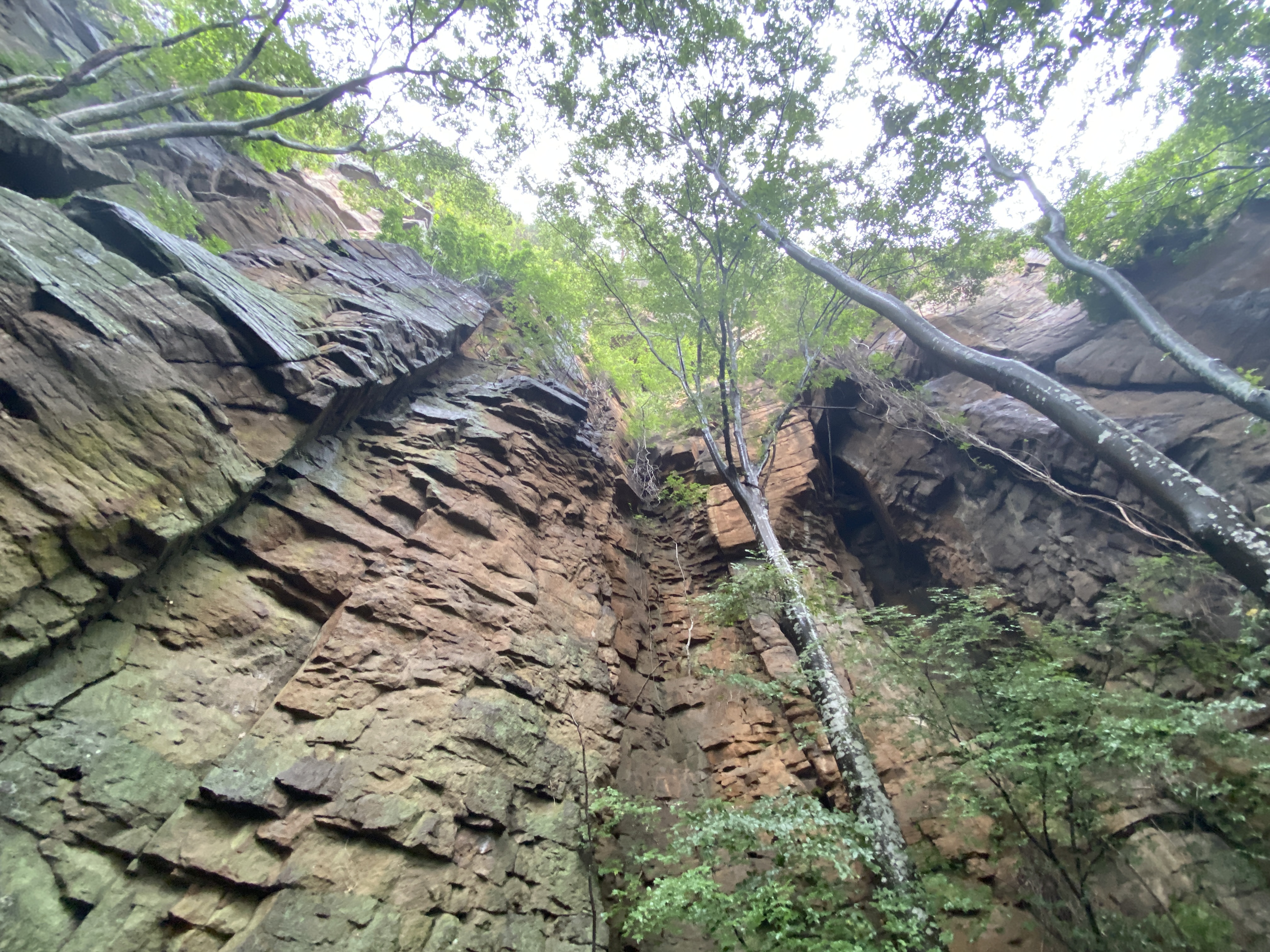
Technical considerations/difficulty:  This is a great place for trail running.  Much of it is a trail lined with trimmed-back bamboo grass.  The portion through the swamp is a sturdy boardwalk.  There are no ladders or chains.  The only ropes are to keep people on the trail.  

Facilities:  

The area around the Jizo Pass/Yunomaru Hotel is really happening.  There is a ski area, gift shops, the aforementioned hotel and a restaurant or two.  I also thought the GMO high altitude training center was cool.  Olympians train there.  Check out their link.  You can view their site in English.

GMO  high altitude training center

There is hiking information at the Yunomaru Visitor's Center Yunomaru Visitor's Center.

I parked in that area for free.  If you're lazy and just want to walk through the swamp, you can drive up to the (paid) parking lot at Ikenotaira.  Parking is seasonal and only open from 7:00am to 4:00pm.  Regular cars cost 600 yen.  Ikenotaira Visitor's Center


Thoughts/observations/recommendations:

I had planned on just going for a walk along a nearby river after school yesterday but the mountains caught my eye when I was driving there.  I'm glad I have a lot of hikes planned.  I was able to choose one on the fly.

Today's listening: The Bible in a Year


Here are some pictures.


I didn't realize how popular this place is for running until I came here.


That's Mt. Kurofu and Mt. Asama in the background.  I was there three days ago.


Yunomaru Visitor's Center


Well, that's all for today.  Come again.

Caveman out.

The last mountain for a while. 😭 Mt. Arakuru trail run before the typhoon

 Location:  


Starting and stopping point:  Myosenji

Peaks bagged: Akaru (閼伽流山)

(First time climbed) peaks None today

Getting there/getting around:  There is parking at the Myosenji Shrine

Map: I don't think there is a paper hiking map covering this.  I just used my hiking app--YAMAP.

Weather Information: 

Total Time:  :53 Break time: :00  Distance: 3.6k 

Elevation:  Lowest: 755m  Highest:  1,028m Total Ascent: 320m  Total Descent: 320m

Technical considerations/difficulty:  There are several steep spots with ropes.  The lookout spot near the peak of Akaru has a large dropoff.  I really wouldn't want to fall off there.  Much of this trail is runnable, but large portions aren't.  

Facilities:  Nothing

Thoughts/observations/recommendations:  Today is the first day of the obon holiday.  It is also the day that a typhoon is arriving.  I had big hopes for big mountains this week but . . .  I decided to at least get in a run before the forced hibernation of the coming few days.  This is a fun little area.  There are some really cool boulders around this temple's precincts.


Today's listening: Nothing


😭😭😭😭😭😭😭That's all for today.  Time to start hibernating.
Caveman out.


Lucky 777, Koasama in Karuizawa


Location:  Mt. Koasama, Karuizawa

Starting and stopping point:  Toge Teahouse 峰の茶屋

Peaks bagged: Koasama west peak ~~ Koasama

Getting there/getting around:  I drove

Map:  Yama to Kogen Chizu 19 浅間山軽井沢・長野原の山々ASAMA-YAMA KARUIZAWA-NAGANOHARA-MOUNTAINS

Weather Information: Asama Weather

Total Time: :40  Break time: 0  Distance:  3.6 km

Elevation:  Lowest: 1,404m  Highest: 1,655m Total Ascent: 258  Total Descent: 258

Technical considerations/difficulty: Loose gravel/sand.  Nothing steep.  Very runnable. 

Facilities:  Public restroom across the street from the trailhead.  Emergency shelter (in case of eruption) at the trailhead.

Thoughts/observations/recommendations:  Today I bagged my 777th peak on a quick run after school.  Mt. Koasama ("Little Asama") is a bump on the eastern side of Mt. Asama--the volcano.  It's about 800 meters lower than Asama.  I do wish there were fewer clouds.  The view of the top must be cool.

Today's listening:  Just my own huffing and puffing


S'up, cavedwellers?  I'm not going to write much.  There is no reason to spend more time blogging than I did running!

Hope you're all having a great summer!

This is at the trailhead.  The building is Tokyo University's volcano monitoring station.


This is a campground in Tsumagoi.


The west peak


Explanations of the restrictions and the danger.  Level 1 means un-restricted access to Mt. Asama.  Now it is Level 2.  You can't go closer than a few km from the crater.

The box to the left of the sign is to deposit hiking plans.  (I do mine online.  Ask me if you want to know how.  I never go into the woods without telling someone my plans.)


That's all.  See ya!


Matsumoto City, Mt. Naka and Mt. Koubo Trailrun


Location: Mt. Koubo, Matsumoto-shi

Starting and stopping point:  Minami Matsumoto Station 〜 Matsumoto Station

Peaks bagged: Koubo  Naka 

Getting there/getting around:  The trailhead is about a 1.8 km walk from Minami Matsumoto Station or 3 km from Matsumoto.

Map:  I just used my iphone.  It's not really a mountain trail.

Total Time:  About 90 minutes. Break time:   About 30 minutes taking pictures.

Distance:  10.5 km.   About half of that was on pavement.

Elevation:  Lowest:   585m   Highest:  835   Total Ascent:  354m  Total Descent:  363m

Technical considerations/difficulty:  None

Facilities:  There is parking and a restroom on the way.

Thoughts/observations/recommendations: I was in Matsumoto for some training and wanted to get into the hills. This is a nice walk in the park for the locals.  It's not the type of place I'd set as a destination from far away but it was nice.  

I wanted to get to Mt. Naka and back to my hotel room early enough in the morning so that I could get cleaned up and go on to my training venue on time so I got on a train before 6 and ran instead of hiked.  It was a bit cold starting out as it was 1 degree Celsius and I was wearing just a t-shirt and shorts.  🥶  It was a great morning, though.  Beautiful skies and some of the sakura were peaking.


Here are some pictures.  


Subscribe to see 👀 the next post first.

Come again!