Showing posts with label 長野. Show all posts

Third Time's a Charm. 💯 Famous Mountain, Mt. Takatsuma (高妻山), Nagano/Niigata.


Konnichiwa Cave Critters and Cave Curious.
Caveman here.

Astute perusers of this space will recall that--despite twice driving to and spending the night at the base of Mt. Takatsuma--the Caveman was denied ascension of Mt. Takatsuma both times.  The first time by rain, the second time by illness.

Takatsu--高妻山--means "Tall Wife" in English.  Mrs. Caveman, while being very high in my estimation, is, shall we say, vertically challenged?  This situation has made me wonder if the "Tall Wife" might be jealous of my short wife and of how my affections run toward her rather than toward one as monumentous as herself.  Maybe that is the reason Mt. Takatsu had played so hard to get.

No matter.  The Tall Wife is vanquished.  Long live the short wife.

The queen is dead.  Long live the queen.

Take that you, you mountain you.


Yesterday I drove up to Takatsu to do the hike on a day trip.  I was a bit iffy about doing this trip on that day because the weather was questionable.

I really was on the fence about going there until the very last minute.  The weather reports varied widely and I was tempted to stay local and hike something less noteworthy since it was possible there wasn't going to be anything to see anyway.  On the other hand, I didn't want to put this one off too long or it might have ended up out of reach until the snow's melted in around June of next year.  Even on the trail I was tempted to turn back.  By the time I got to the first peak, the snow had picked up and it was white as a sheet up ahead.  With another 400 meters to climb in elevation, I imagine that the weather might turn nasty.  I had just made my mind up to turn back when the sun came out--for about 1.5 seconds.  That was enough to spur me on.  

I'm glad I did.

Here are the details.

Location:  高妻山 Mt. Takatsuma Togakushi, Nagano

Starting and stopping point:  戸隠キャンプ場 Togakushi Campground

Peaks bagged: Mt. Gojizo 五地蔵山 and Mt. Takatsuma 高妻山

(First-time) peaks #835 and #836

(100 Famous Mountains) peak #29

Getting there/getting around:  

I drove.  There is free parking near the trailhead.  The trailhead is inside the Togakushi Campsite.  The campsite just closed for the season but you can walk through to the trailhead.

It is possible to get there by public transportation.  From Tokyo, take the Hokuriku Shinkansen to Nagano Station.  (Or you could take the bus from Shinjuku to Nagano Station.)  Change to the Nagano Togakushi Bus Line for the Togakushi Camp Ground.  Depending on your choice of routes, it should take between 4 and 6 hours and cost between 6,900 yen and 10,000 yen each way.

Map: 山と高原地図18 妙高・戸隠・雨飾 火打山・高妻山・信越トレイル

Weather Information: Japanese weather forecast

Total Time: 7:28  Break time: 1:02  Distance:  13.1km

Elevation:  Lowest: 1,173m Highest: 2,352m Total Ascent: 1,498m  Total Descent: 1,498

Technical considerations/difficulty:  As you can see from the picture, there was snow.  It was fresh and wasn't deep yet.  I was glad I had my crampons.  Snow remains on Mt. Takatsuma into May, so keep that in mind if you want to bag this one.  

The hike is fairly steep and the level of ascent is noteworthy.  This hike is comparable in distance and change in elevation to climbing to the top of Mt. Fuji from one of the usual routes.

I climbed up to Takatsuma on the east side and that section was fairly straightforward.  There are some spots with chains, but not too many.  It is just steep and rocky.  I came down to the west, passing by Mt. Jizo and the Ichifudo Refuge Hut (一不動避難小屋) on the way.  From the refuge hut to the bottom has a few more exciting spots--nothing too challenging physically but a wrong step could really ruin your day.    Also, that trail crosses over and through a stream several times.  I was glad that I was doing this at the end of the hike and not at the beginning.  My feet were absolutely soaked from the stream and it wouldn't have been pleasant to go tramping around in the snow with my boots and feet in that condition.

Facilities:  

Togakushi Campground  (This closed at the beginning of November.)  

Inside the campground, there are few restaurants.  This soba restaurant seems to be open year-round.

Thoughts/observations/recommendations:

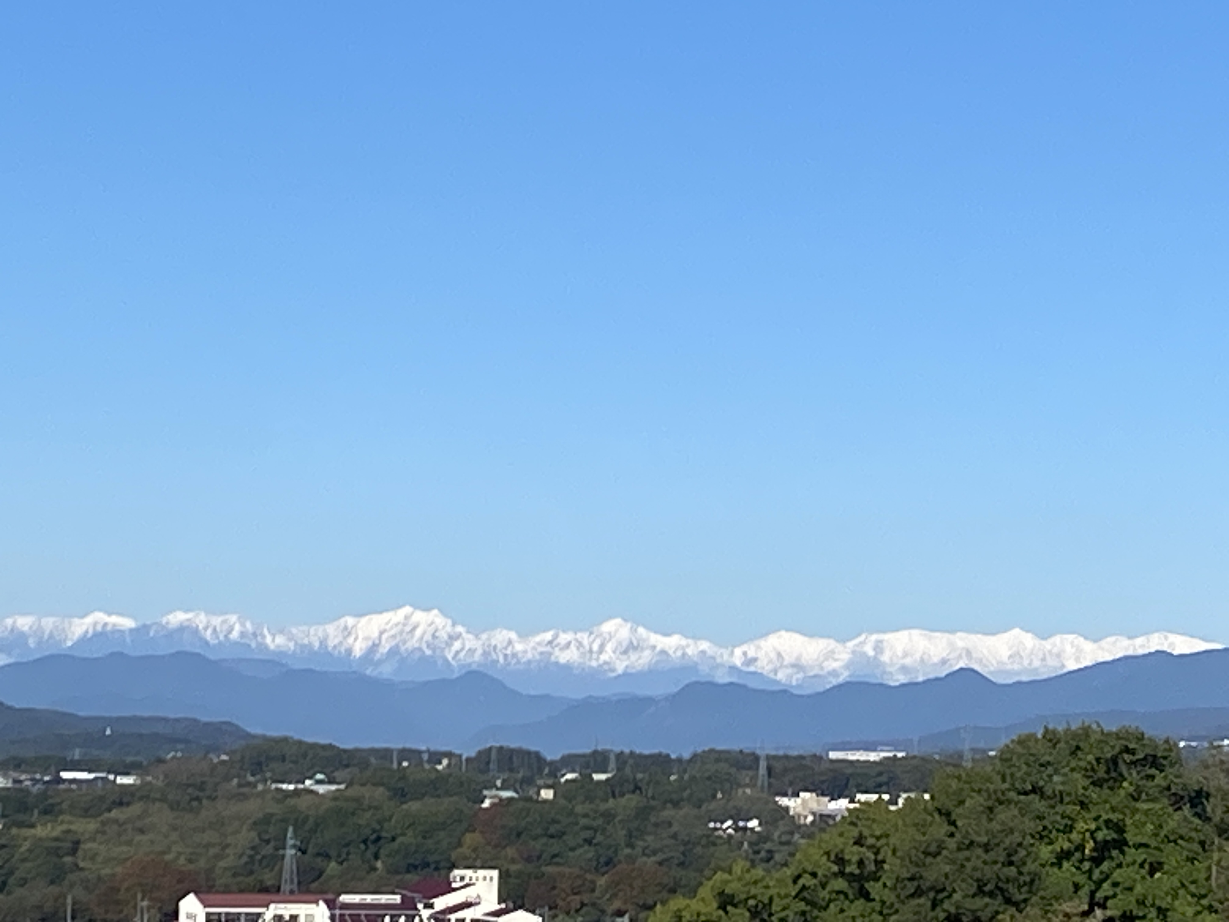
This is another in a long list of mountains I've climbed which I wouldn't be able to pick out in a line-up if my life depended on it.  Visibility was pretty poor all day, so I have no idea what this mountain or the ones around it look like.  That isn't to say that the views weren't cool.  The snowscape was great to see.  I would like to get back some clear day, though.  Maybe in summer.


Today's listening:

Bible in a Year

New season of "For You The War is Over!"


The hike started at about 1,200 meters in elevation.  After going up only about 100 meters, the snow flurries started.


I know what I'm asking Santa for this year.  Boots.
(I hope Mrs. Caveman saw that.)
Come to think of it, pants and gaiters would be nice, too.
We'll see if Santa really loves me and wants me to survive the winter.


This is a refuge hut.  The sign says something to the effect that it is for emergency use only, not to plan on using it for regular hiking situations.

🍺☺This toilet was sponsored by Asahi Beer!☺🍺

The Oharasawa (大洞沢) stream below the refuge hut was very pretty--but also very wet.


This part was a bit spicy.  The picture really doesn't capture it well.


That's all for today.
Caveman, out.


Trail run (?). Hirao Fuji. Saku City. Nice fallviews.


This morning I took a run up Mt. Hirao.  Hirao is one of my go-to places if I have time for a run before the sun sets after work.  It's located in the northeast of Saku City, just above the highway.  It's visible from most of the city--and it has great views.


Location:  Mt. Fuji Hirao/Hirao Castle Ruins

Starting and stopping point:  Sakudaira IC Parking Lot

Peaks bagged: Hirao

(First-time) peaks #xx (Not my first time here)

Getting there/getting around:  I drove.  There is plenty of parking.  The parking lots at the onsen don't open until 8 but I was able to park at the highway parking lot.

Map:  Yama to Kogen Chizu #21 西上州 妙義山・荒船山

Weather Information: Mt. Arafune's weather (not too far away)

Total Time:  2:09 Break time: :00  Distance:  12.1km

Elevation:  Lowest:  788 m Highest: 1,155 m Total Ascent:  727 m Total Descent: 727 m

Technical considerations/difficulty:  

There are a variety of trails that I used on this run.  There are hiking trails, ski trails and some forestry roads.  

I lost a lot of time by trying to run under one particular ski lift.  There are two lifts I ran under.  The one on the lower half of the mountain is easy to proceed up.  The entrance to the hiking trail is near the top of that lift.  Until today, I'd always left the ski trail there and entered the hiking trail.  This morning, I tried to continue toward the top following under the upper ski lift.  This turned into a slow exercise in bushwhacking up a very steep, prickly, wet, slippery slope.  I lost a lot of time there but got to burn a few calories--and collect a few scrapes and scratches to the delight of my inner-9-year-old. 

Most of the trails and some of the roads up here aren't on maps.  It's quite easy to get twisted around.  I would stick to the marked trails if you don't have some kind of gps device.

Facilities:  Nothing on the trail.

Thoughts/observations/recommendations:  Do it if you can.


Today's listening:  Bible in a Year


Winter's coming.  Brace yourself.


Yatsugatake


Alps


Mt. Asama


This escalator from the onsen down to the Sakudaira Toll booth and parking lot really sticks out.  You can see it for miles around.


That's all for now.
Subscribe.  Tell your friends, etc. 
Or not.


Caveman out.


This post deserves some attention

Mt. Haruna of 200 Famous Mountains Fame

  Lake Haruna Hello, cavedwellers. Today's trek was around Lake Haruna in Takasaki, Gunma.   Location:   Lake Haruna, Takasaki, Gunma St...

Subscribe

Subscribe
Become a cool kid cavedweller