Greetings cave creatures.
I estimated I would end today with my 699th peak under my belt and was thinking of going somewhere noteworthy for number 700. I guess I don't count too well because my climbing app informed me that I had in fact just reached my 700th mountain on this hike of fairly forgettable hills.
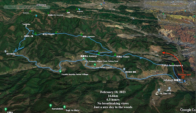
Starting and stopping point: Jofukuji Temple near Okubo Bus Stop
Mountains climbed: Senshu~ Tenjin~ Kokenji~ Bonzen~ Ongata~ Takadomesawanoto
Getting there/getting around: There are buses bound for Jinba Kogen departing Takao and Hachioji Stations that stop at the trailhead. I parked my scooter at the temple next to the bus stop where the trail starts.
Map: This trail is visible on YAMAP. It doesn't appear on the Compass application or on the Yama to Kogen maps.
Weather Information: Weather on Kariyoseyama (not far away)
Time: 5 hours 40 minutes and 50 minutes break
Distance: 16.6km/10.25mi
Elevation: Lowest: 201m Highest: 597m Total Ascent: 973m Total Descent: 975m
Technical considerations/difficulty: This trail isn't really too difficult to follow, but there are very few markers and it isn't maintained. There are several steep spots without any stairs or chains. It would be possible to get lost and find yourself in a pickle if you don't have a nose for finding the trail. This trail reminds me of the adage here not to go down if you're lost. It's easy to go down into some place that you can't climb back up out of. These hills are not very high but the trail goes up and down quite a bit so it is slow-going.
Facilities: Nothing
Thoughts/observations/recommendations: There is a reason this trail doesn't show up on most maps. It's not got the most breathtaking views or much else to recommend it other than being a walk in the woods. It was a good workout and this trail gets points for the solitude factor. I only saw two other hikers. The only reason I did it was to tie up some loose ends with the other trails I've hiked in the area.
Not much to say, so I won't say anything else. Have a great day!
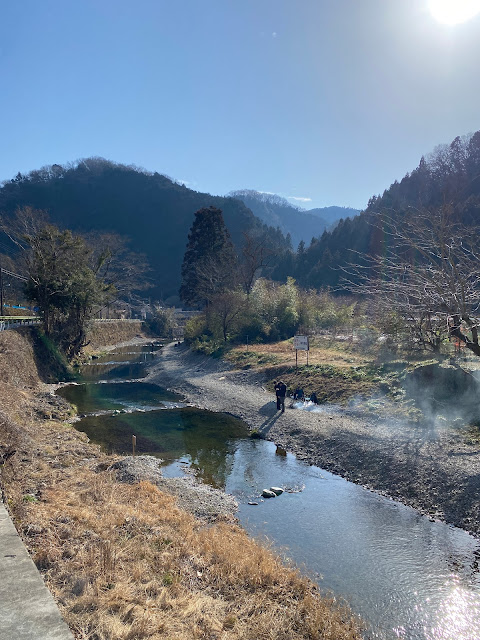
Mt. Jinba is the mountain about 3/4s of the way to the right side of this picture.
Ongata Junior High School is below in the foreground.


Some minor peaks around Tokyo I haven't climbed yet - have added them to my to climb list, thanks!
ReplyDeleteI was thinking of you when I did this hike the other day because I know you were at Kita Takao recently. Ongata is just north of that.
DeleteThese hills show up on YAMAP but not on the Yama to Kogen maps. I just peeked at Yamareco. I can see some traces of hikes other people have done over these hills but no mountain names on the maps.
They are minor. The highest point I got to was only something like 500 meters but they felt higher because there is a lot of up and down.
One time in the past I intersected this trail. I hiked from Musashi Itsukaichi Station to Takao that day. That too, never got very high but was really taxing. It seemed interminable.
Have a good one, David,
d'oh! I thought saw someone post a hike around Kita Takao the other day and I thought it was hikingtokyo.com. I wonder who that was.
Delete