S'up peoples? Welcome back for another tale from the mancave.
What do you think about the Caveman's makeover? My fellow influencers call this branding, I'm pretty sure. You can see that we spared no expense on a photo shoot to show off the look. I'll be able to retire in a few weeks if I keep trailblazing like this.
I got out to Mt. Hiuchi (火打山) yesterday. It's on two lists, the 100 Famous Mountains of Japan and the 100 Famous Flower Mountains of Japan.
The name Hiuchi means "fire" and "shoot" or "hit". Google translates it as "flaming mountain." After seeing pictures of it when the flowers🌼🪻🌺 are most colorful I can understand. It does seem to be ablaze.🔥
Alas, I have to rely on other people's pictures to make this assessment. It was pretty cloudy when I was there.
Details
Area:
Location:
Map:
Comment if you'd like me to get you a current link to the Yama To Kogen map. I've given up on trying to keep links to them current.
Starting and stopping point:
Sasagamine Parking Lot #1 笹ヶ峰駐車場#1
Peaks
Peaks bagged: Hiuchi 火打山
(First-time) peaks
#901
100 Famous Mountains peak
#34
Getting there/getting around:
I drove. There is free parking at the Sasagamine Parking lot. I was there on a Tuesday. I imagine it's busy on weekends or in the peak seasons.
There is a bus from the Myokokogen Station. (2024) Click on the poster for details. The bus company's number is 0255-72-3139. I'd suggest calling there for information in the future.

Helpful Info
Weather Information:
Time and distance
Total Time: 5:55 Break time: :21 Distance: 16.6km
Elevation: Lowest: 1,315m Highest: 2,461m Total Ascent: 1,287m Total Descent: 1,287m
Technical considerations/difficulty:
There are no chains or ladders. A few areas are steep and there are some boulders but the majority of the hike is actually a boardwalk. There are precious wetlands here so they really really are trying to keep feet off of the flora as much as possible.
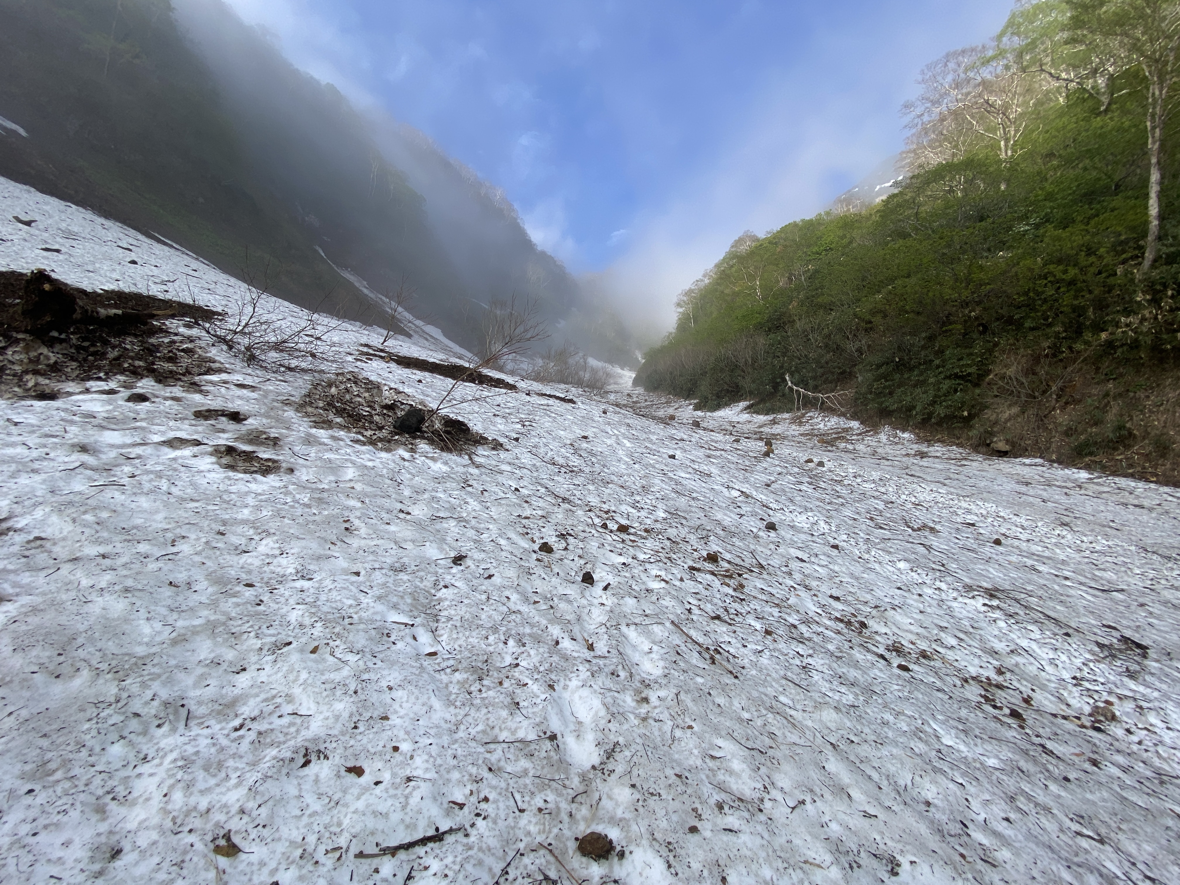
There is still a little snow at the beginning of July. Not enough to necessitate crampons or anything, but this mountain is not far from the Sea of Japan and the snow is very heavy on this side of Japan in winter.
Facilities:
At the trailhead parking lot, you can buy portable toilets. There is a tent set up on the trail if you need to use one of those portable toilets. There is also a place at the trailhead to deposit your used toilet. Ewww. Glad that part of this report is over.
There are two waterholes on the trail. One is about an hour up from the trailhead. The other is at the Koyaike Hut (高池ヒュッテ). The one on the trail is potable as it is. The water by the hut is coming from the Koya Pond and needs to be boiled.
The Koya Hut English 高谷池ヒュッテ has lodging inside and a tentsite. They have a pay toilet, too.
Thoughts/observations/recommendations:
A lot of people combine this mountain with nearby Mt. Myoko in a two-day trip. I live close enough that I can get up there easily enough that I can justify making two separate day trips. I hiked both of these mountains during rainy season (and two or three others in the immediate vicinity) and, as a consequence, have no idea what anything actually looks like. I've been robbed of seeing the Sea of Japan twice so far.
On the other hand, since I've been to these places at off-peak times, I have had the mountains mostly to myself. They are my mancave, after all. I do enjoy having my mancave to myself.
Anyway, there are always opportunity costs whatever you do. When is all said and done, I'd rather be spending cloudy/rainy days out in nature than on a sofa.
Without further ado, let's get to the pictures.

This is a longer movie of the hike. If you have a short attention span my feelings won't be hurt if you skip it or fast forward through it. If you stick it out to the end though, there are some critters you can enjoy.

Trailhead Vending Machine

Not to get ahead of myself, but this tent up the trail is where you would use the portable toilet. There is even a little sign on the door to denote whether it is occupied or vacant.

. . . and when you return to the trailhead, this is where you can deposit your, ahem, stuff.

Now, back to our regularly-scheduled programming. At least I hope it's regular. After all this discussion of our last topic, I'm strangely concerned with regularity.
More stuff at the trailhead

The Kurosawa (黒沢), "Black River" is the source of drinking water on the way.


In case you were wondering what you missed
The Caveman felt at home finding this dinosaur fossil.

I've always been a fan of the defiant lone tree.

Much of the trail was like this. It was such a gentle rise that for the first hour or so the ascent was barely noticeable.


The Koyaike Hut

Net for slingloading supplies by helicopter

My map has a waterhole with a note "Boil this." Here, it says it's not potable. It is coming from a pond. I assume it is ok if you boil it but the sign gives me pause for thought. There must be water access at the hut somehow.

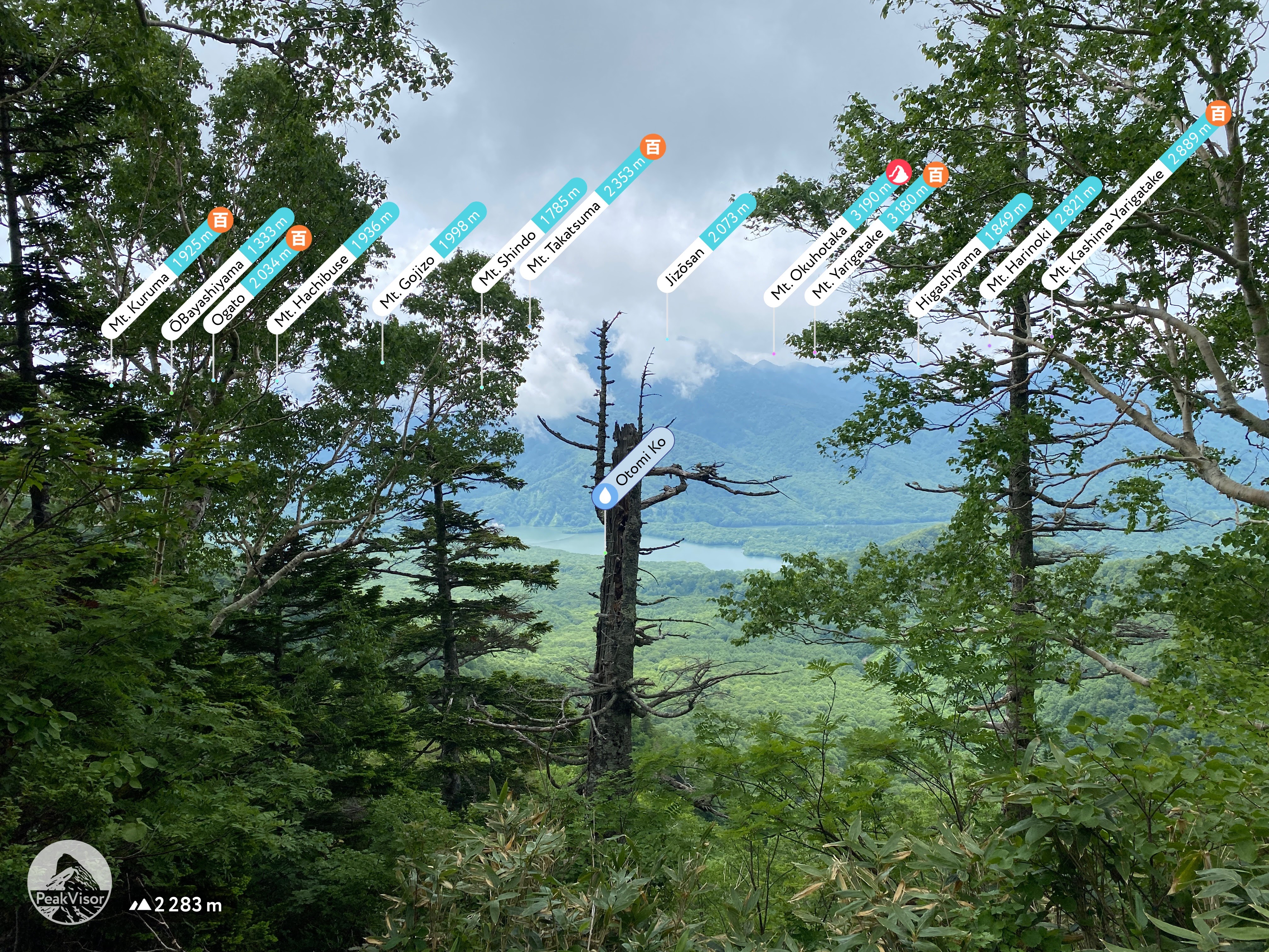
The Koya Ike (High Valley Pond) next to the hut.
The tent sites are right next to the pond.


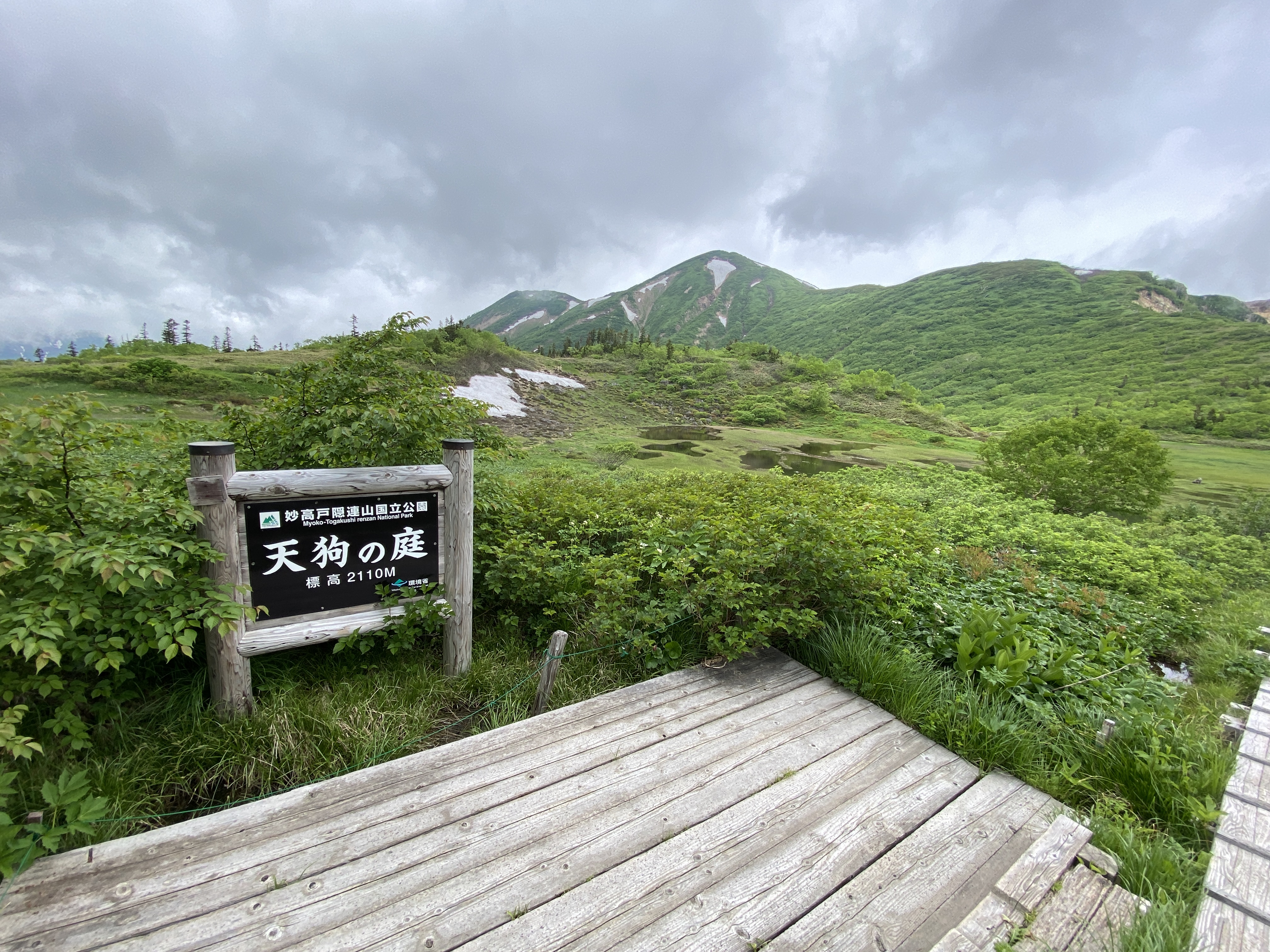
After another 15 minutes or so, you get to Tengu Garden. That's another wetland. Beautiful.
Hiuchi is the big one

There are a lot of beautiful flowers up there.

This is Raicho Taira (雷鳥)--Thunderbird Plateau

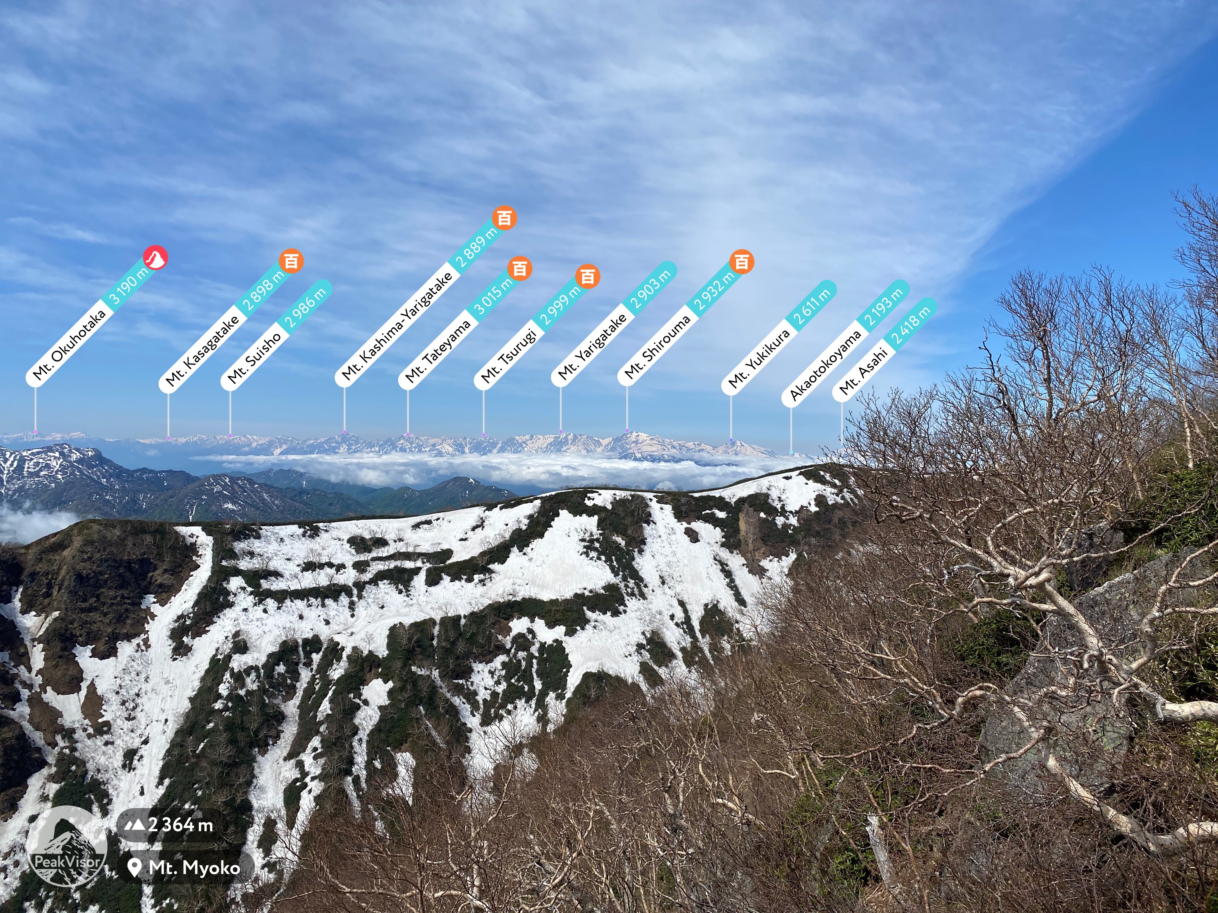
The top. 2,462 meters
How about that view of the Sea of Japan down there? Wow!
Breathtaking.

Looking back at the Tengu Garden

There is a lot of variation in the flora.


Back down at the Kurosawa


Someone knew how curious I would be about how they get the materials to build that boardwalk up there. Of course, it is by helicopter. It is a gigantic project.
I am reminded of talking to the owner of Mt. Ryokami, another of the 100 Famous Mountains in Saitama, one time. I told him that I had been marveling at the stuff on his trail. There are cast iron ladders, concrete pilings, long heavy chains. . . Mt. Ryokami is a very rugged mountain and there is some heavy, awkward stuff up there. I asked him how he got it all up there, "helicopter, right?"
He looked at me kind of sideways and said, "I guess they'd do it by helicopter now, but I carried everything you saw up there on my back." Respect.


I'm tired and I want to talk to Mrs. Caveman so I'm signing off.
If you want to see other mountains from the Myoko Togakushi Renzan National Park, check out one of these posts.
That's all for today.
Caveman Out
Epilogue
Just a few pictures from the ride home. The first onsen I found was Naeno no Yu 苗名の湯. Don't tell anyone I took a picture!

Mrs. Caveman spotted this guy from the car. She was excited with her first spotting of a serow.

Saw a few of these guys, too.
We saw a marten (or maybe it was a badger), too but didn't get a picture.
That's really, really it.
Caveman out.