
Location:

Starting and stopping point: Myosenji
Peaks bagged: Akaru (閼伽流山)
(First time climbed) peaks None today
Getting there/getting around: There is parking at the Myosenji Shrine
Map: I don't think there is a paper hiking map covering this. I just used my hiking app--YAMAP.
Weather Information:
Total Time: :53 Break time: :00 Distance: 3.6k
Elevation: Lowest: 755m Highest: 1,028m Total Ascent: 320m Total Descent: 320m
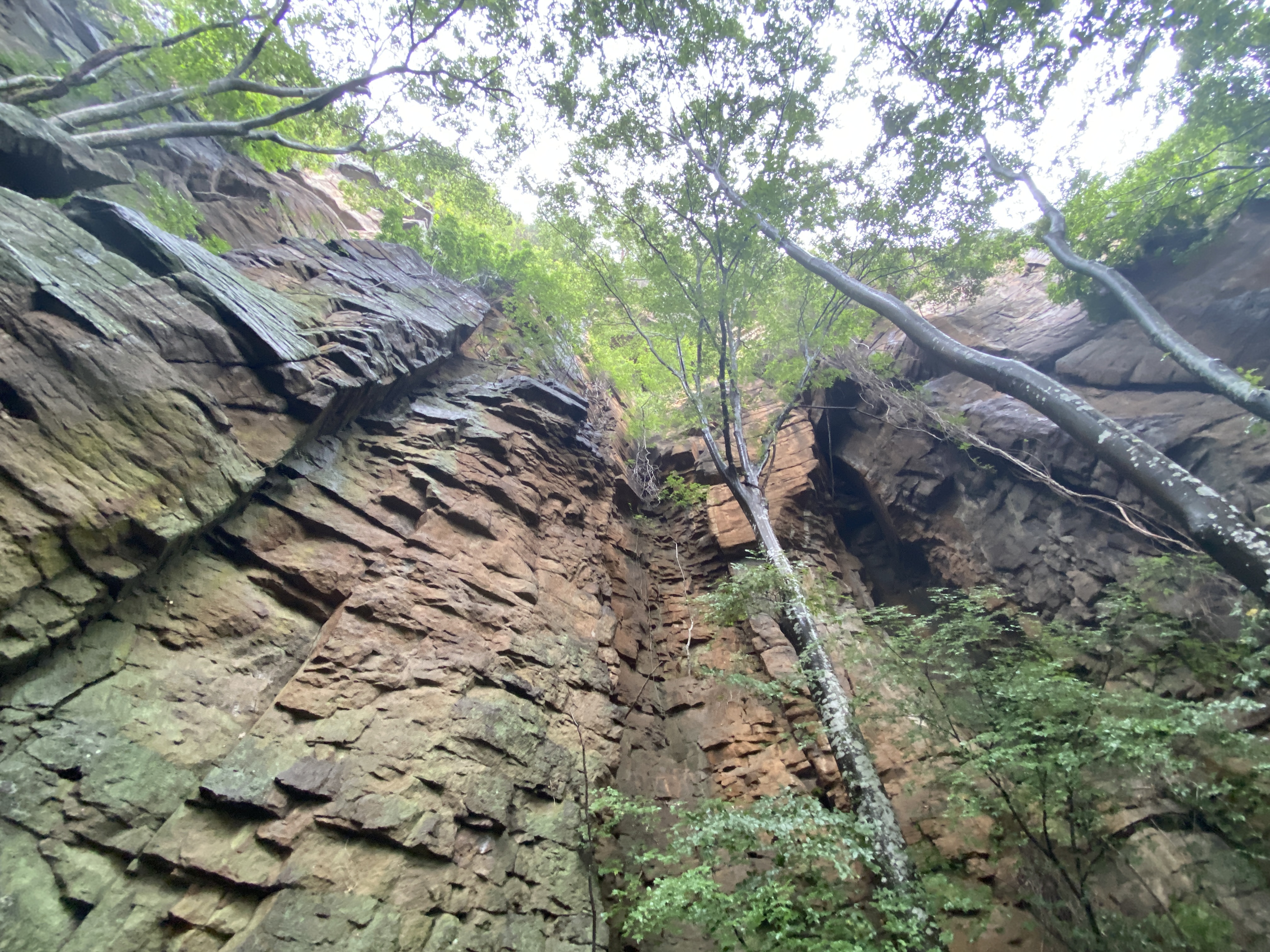
Technical considerations/difficulty: There are several steep spots with ropes. The lookout spot near the peak of Akaru has a large dropoff. I really wouldn't want to fall off there. Much of this trail is runnable, but large portions aren't.
Facilities: Nothing
Thoughts/observations/recommendations: Today is the first day of the obon holiday. It is also the day that a typhoon is arriving. I had big hopes for big mountains this week but . . . I decided to at least get in a run before the forced hibernation of the coming few days. This is a fun little area. There are some really cool boulders around this temple's precincts.
Today's listening: Nothing


No comments:
Post a Comment
Have a comment? Please, keep it clean.