Deer country ichinose, ninose, sannnose, Wanakura


Hey there you cave cats and cave chicks.  Pull up a tree stump.

Yesterday I popped over to a corner of the Chichibu-Tama-Kai National Park (秩父多摩甲斐国立公園) between Koshu City in Yamanashi and Chichibu City in Saitama.  It's an out-of-the-way area as far as hiking goes.  There's really no public transportation nearby and it's an hour and a half or so by car from Okutama.  It's a great place to be if you like deer more than people.

Some of the highlights of the area are Mt. Karisaka, ("Karisakarei"), Mt. Kasatori, Goindaira, and Ryubiyama.  Hikers traversing from Mt. Kobushi ("Kobushigatake") in the west, to Mt. Kumotori in the east need to cover this ground.  

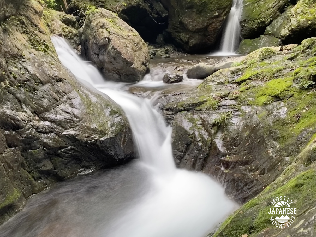
I think Mt. Kasatori is my favorite of the aforementioned places.  It looks cool from the bottom and the view from the top is spectacular.  Hiking down from it has some of the most pleasant stream-side trails around.   Near the bottom, you can see the origin of the Tama, Fuji and Arakawa Rivers.

Access to this area on the southside is off Route 411 in Koshu-shi.  Nearby is the Ichinosekogen Campground.  Also, there are some Minshuku around.  If you want to stay on the mountains, there are huts on Karisaka https://karisakakoya.blogspot.com/ ,  near Kasatori tel +81553339888 and at the 
Shogen Pass (将監小屋) tel +81553321044.


From the north, there are a few trails near the Futase Dam.  I am not really acquainted with accomodations around there.

Today I came in from the south.


Bambi et al showed up today.


There is a lot of 笹 ("sasa" bamboo grass) in this area.  Usually, it's really pleasant to walk through but there is a long section of this trail where it has grown so high that it slows you down because you can't see your feet.  It obscures the trail so much you have to look for trail markers in the trees and there is always the danger of tripping over an unseen rock or branch even if you're going the right way.


sasa bamboo grass 笹


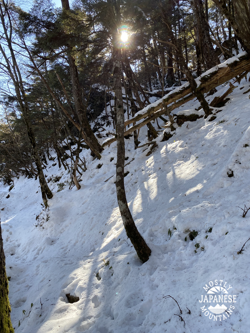
In sections like this where the bamboo grass is laying across the trail, it's a bit treacherous.  The grass is very slippery and the trail is at a steep angle.  I slipped more times than I care to remember.


This is the same section of trail with all that bamboo grass.  I recall that it was miserable in snow, too.  It is very slippery walking on the side of this steep hill and the only signs of the trail were deer tracks.


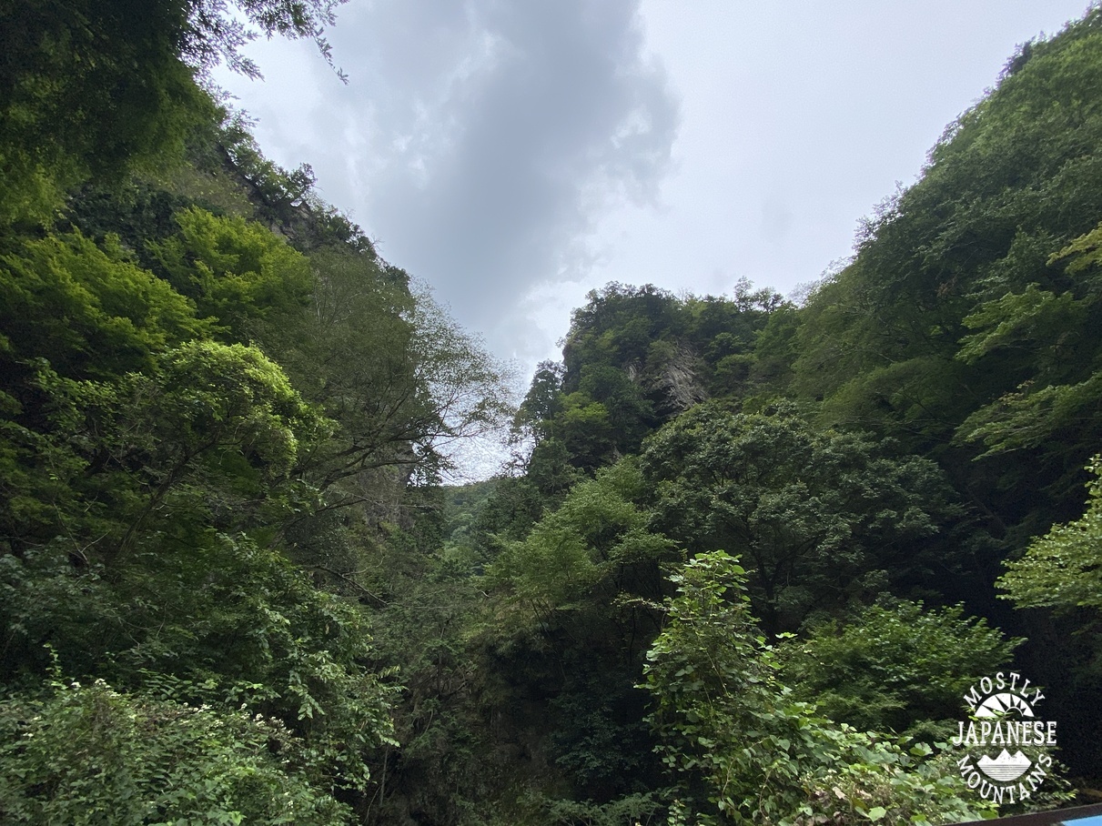
Hiking in July and August typically doesn't give you the long, clear views that you can get in other seasons, but the skies and mountains can still be beautiful.


The day's ultimate destination, Mt. Wanakura (AKA Mt. Shiroishi).  Unfortunately, there is no view.  The most photogenic thing at the top was my puss.  Shudder.

Mt. Wanakura 和名倉山


Another deer.  I think I saw about 10 this day.  If you want to see deer in their natural habitat, Enzan can't be beat.  Just watch out for hunters.  They are trying to cull the herd.  I heard one gunshot today.

日本鹿 deer


This "peak" is on the map but there is no trail up to it and obviously nothing to see even if you make it up there.


This is what the terrain up there was like.  Those rhododendrons were thicker than any jungle.


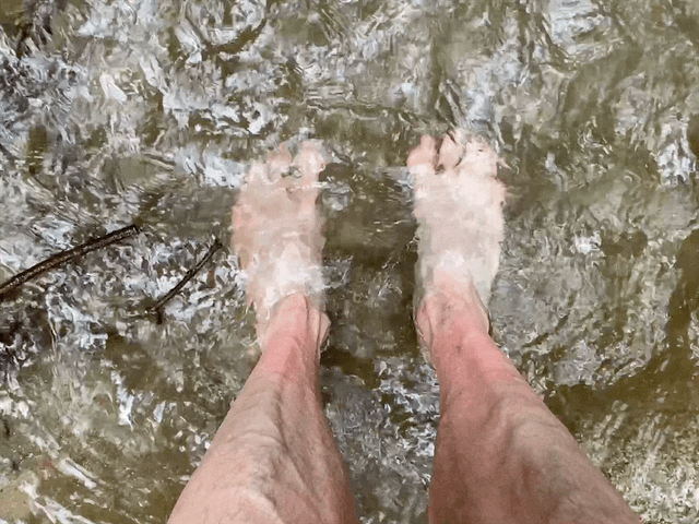
My dogs were happy to find at the end of this hike.


Giving the dogs a treat.  "Who's been a good boy today?"


Be sure to come again next time when you'll read on the cave wall Joseph of Arimathea revealing where to find the Holy Grail.


"Hikeling" Hinode by bicycle


This week I did some hikeling.  Hikeling is the term I coined for riding into the mountains and then hiking when I run out of road.  This activity is something I stumbled on a few years ago and doing that was one of the serendipitous little events that hooked me on the mountains so much.  

At the time, I would go for bike rides occasionally to the edge of the mountains.  5 or 10 miles on the bike seemed like a really long ride then.  One day I decided on a whim to turn onto a side street.  I rode on that a bit and encountered the chained-off entrance to a gravel road next to a stream.  I decided to try that road too and the adventure began!  

The birds were singing, the water was bubbling.  It was beautiful.  After following this gravel road for a bit, the terrain got more rugged and I had to cross the stream a few times.  Eventually, the road gave way to being just a path.  Even though I didn't really know where I was and had no map, I parked the bike and started to follow the trail.  Soon, the trail became quite rough, I had to use my arms as well as legs to climb.  

Not long after that, I popped out on top of a mountain!  And it was a mountain that I had climbed before but had no idea how close I was to it that day.

That was my first encounter with a 林道 "rindo"; a forest or logging road.  There are rindo criss-crossing all over the mountains.  It was my first acquaintance with how the rindo intersect with hiking trails and it opened up entirely new opportunities for hiking and learning about the topography.  I love maps and drawing connections between the locations of places on the ground and the rindo have made it possible to interact with the terrain in many ways  that weren't possible before.


I haven't been hikeling much this year but went on two trips this week.  The first was up to Mt. Hinode.  Although this is one of the most trafficked mountains in Japan because of its proximity to Tokyo, using the rindo enables me to get near the top without seeing one other person until I get off the bicycle.

Here is my route.  If you're interested, the entrance to this rindo is off Yoshino Kaido at Yugimachi.


The hike


Almost all downhill on the way home.  Weeee!


This is on the trail, not the rindo.  There are quite a few areas around here where it's possible to ride on the hiking trails.  Some places don't allow bikes, though.  And, it's best not to take your bike on a trail unless you know beforehand whether it's ridable.  I've learned that the hard way.


The weather hasn't cooperated this month for pictures.  :-(


This gate at the bottom is always closed.  They must really mean it now.  If you look closely at the sides of the gate, they've tried to seal the gaps.  I had to climb over.


Yesterday I went for a much longer hikeling trip.  I went to Okutama and up and over the pass between Mt. Gozen and Mt. Nokogiri before descending on the other side into Hinohara Village.


Here is the route I took:


This picture is on the way.  I think this was on the side street behind Futamatao Station if I recall.


There are freaky-good scarecrows in Japan.  This is right beside Route 411.


The entrance to the rindo (林道) is maybe 1km past Okutama Station.  It's between the fire station and the hospital. 


Looking down toward Okutama


This forest road is mostly paved.


The road took me near the top of Mt. Nokogiri.  I couldn't pass by a peak without taking a peek.  (It's a boring mountaintop as they go, though.  No view.)

鋸山東京 Mt. Nokogiri in Tokyo


Then back to the bike for the descent.


The sign: "None shall pass."  "Go back, fool."  "Abandon hope all ye who enter here."
Me:  "Hold my beer."
(Seriously.  I don't drink.  You can hold my beer forever.)


The treat on the way down is Kanato Iwa.  It's really out of the way and I would never have discovered it without hikeling--but it is a really neat gorge.  (I entered Kanatoiwa as the location for this post if you are interested in going there.  It's in the general vicinity of Hossawa Falls if you know where they are.)

神戸岩 Kanatoiwa

The iwa (boulder).

神戸岩 Kanatoiwa1


The gorge

神戸岩 Kanatoiwa2


神戸岩 Kanatoiwa water


Between Kanatoiwa and the next big street, Route 205, there is a campground and some cabins along the river.  The cabins are called Kanatoiwa Lodge.  When my kids were little, we went there for a Sunday School camp with our parish one weekend.  It was a great place for a group outing like that.  I highly recommend it if you have a group event like that. 


That's all for now.  Drop by the cave again sometime.


It stopped raining! Long hike around Otaki in Chichibu City.

Greetings cave cretins, I mean creatures.

It finally stopped raining.  I'd been chomping at the bit to get into the mountains for about a week so I planned a longish day hike for when I could finally get out.

Much like the original D Day, my plan was pushed back a day for weather.  When the, seemingly clear, day for my hike arrived, this is what greeted me when I walked out the door.

rainbow 虹

Not too shabby!

About 3 hours later, nearing my destination in Otaki in Saitama, this is what I saw at the Futase Dam.


Signs and wonders . . . 


This picture is taken upstream from the dam.  This is the Arakawa River, by the way.  It starts at Mt. Kobushi at the intersection of Saitama, Yamanashi and Nagano and eventually dumps into Tokyo Bay.


Unfortunately, the beautiful blue skies didn't last beyond the morning.  I did get these pics before it got too cloudy, but the rest of the day was not one for taking in distant sights.


The rest of the day was like this.

Karisaka Pass 雁坂峠
(That picture is Karisaka Pass.)


OK, I actually do like that kind of picture.  I often feel like I'm in Middle Earth when I'm in the mountains.  Sometimes it's like the Shire.  Sometimes it's like the Misty Mountains.  (I wonder how many of you just started hearing "Walking in the park just the other day baby . . ."?)


One thing that was cool was all the water.  We have had so much rain lately.  The falls, streams and rivers gushing off the mountains were truly awesome.


In case you're curious, this is the route I took yesterday.  It was a long one with an elevation change of over 2,300 meters up and then over 2,300 meters back down.  Adding onto the hike driving about 3 hours each way made me one tired puppy when I got home.     


I'm happy whenever I can get into the mountains but do feel a bit bummed out when I can't see anything.  I'll have to go back here if I want to know what it's really all about.  I've already planned 2 more hikes adjacent to this route.


As Abu says, "Thank you.  Come again."