I'm a bit worse for wear today. As I was returning from my hike this morning, I felt fatigue and muscle aches I don't usually feel. It was not until I started writing this post and did some reflection that I realized what was going on. I was not tired from just today. It's the cumulative effects of my activities over the last month. I realized that in 10 outings this month, I logged 150 km. A lot of that was trail running, so my knees have taken more of a pounding than usual. No wonder my middle-aged body was rebelling.
Waking up at 1:00 am and heading toward a mountain for the sunrise may have something to do with fatigue, too. Ya think? 🤔 **
Regardless of the fatigue, it's been worth it. After all, I walk so much because I like it, and I've scratched some satisfying things off my bucket list with all the extra miles lately.
**It's a few days later now and I realize that I actually injured myself on that hike. Early on in the hike, I tripped and banged my shin on a rock. It appears I bruised my shinbone when I tripped that morning. No wonder I felt less than 100% when finishing that hike. Looking at my leg's condition (discoloration below the injury, swollen ankle and a large welt at the point I whacked my leg) and looking up these symptoms on the internet gave me pause. It appears that a bone bruises should be checked out and can get worse without proper rest. It seemed I might be looking at a month or even two of not being able to hike! I went to an orthopedist this am and, thankfully, he gave me the ok to keep doing my thing. Thank God. I have so many plans for so many trails.
. . . about Mt. Asama
This is an active volcano and has been off-limits for the past three years because of the possibility of eruption. It's the most active volcano on the main island of Honshu and the Japanese Meteorological Agency classifies it as A. Whatever that means.
On May 22 of this year, the eruption alert level was lowered to Level 1, and hikers have been allowed to get to within 500 meters of the caldera. Due to the air quality, there is still that restriction. The adjacent peak called Maekake is climbable, but the actual peak of Asama, at 2,568 meters, is still off-limits.
The Asama Mountain Range:
This is on the border of Gunma and Nagano Prefectures. Asama is at the highest and easternmost extremity of a ridge that runs about 15 km from Karuizawa in the east to Mts. Yunomaru and Eboshi in Tomi City in the west. Between Asama and those peaks, there are several ski areas, an athletic center for training at high elevations, a high elevation wetland, and many lodges and onsens. It's a great place for outdoor sports all year round.
The Asama Mountain Range
One of the first bucket lists that I completed upon moving here was to bag every peak along that ridge--except for Maekake and Asama, of course. I have had so many great experiences taking in the flowers, observing the wildlife such as serows and deer, and snowshoeing throughout the area.
Location:
Map: ***If you want a link to the latest Yama to Kogen map, comment and I'll get you a link. This link is to a printable topo map of this area.
A bus from Komoro Station can take you to the Asama Tozanguchi Bus Stop--about a 50-minute walk from the onsen. If you're going by public transportation, the Takamine Hotel at the Kurumazaka Pass is probably easier.
The Caveman did it in: Total Time: 5:22 Break time: :25 Distance: 13.8 km
Elevation:Lowest: 1,411 m Highest: 2,524 m Total Ascent: 1,236 m Total Descent: 1,236 m
Technical considerations/difficulty:
Nothing technical. There are no ropes, chains or ladders to speak of. It can get windy above the treeline.
Facilities:
My starting point was at the Asama Sanso/Tengu Onsen. There is lodging there and an onsen. There are also horses that you can lead around and, I think, probably ride.
About halfway up the trail, at a free resthouse called the Kazankan, there are public pay toilets.
Thoughts/observations/recommendations:
This is something I've been hoping to do since moving to the area three years ago. I'm disappointed that it got cloudy before the sun came up, and I wish the caldera were visible from Mt. Maekake. Still, it was a great hike, and I'm glad that I did shoot for sunrise because I had the mountain to myself, and it is getting busy these days. I'm not the only one who has had an eye on the alert levels, and many hikers are making a beeline to Asama to cross it off their bucket list.
I am soooooo glad that I made the insane decision to hike it in the middle of the night. I had the mountain to myself. Now, the mountain looks like this as people flock here from all over the country. Wow.
(Along with all the regular stuff such as maps, headlamps, boots, feet, and brains, . . .) don't forget:
to make use of technology. One of the apps I have is called peakvisor. It's main function is to identify the mountains in your pictures. One function of Peakvisor that I used on this trip was to identify the time of the sunrise and the exact place the sun would rise. This helped me point my smartphone in the right direction in anticipation. (Unfortunately, the sun was hidden behind clouds, but I knew where it was.)
Let's look at some pictures.
This is what Asama looks like in winter. Doesn't it look like a chocolate dessert dusted with confectioner's sugar?
The Tengu Onsen has parking for ¥500.
The other option for a trailhead is by the Kurumazaka Pass by the Takamine Hotel.
I've been to both places numerous times. My choice of this particular trailhead on this morning came down to a simple matter of time. The Takamine trailhead is about 8 minutes further up the road.
It was a starry night.
The first glimpse of Asama from the trail.
Looking over toward the ridge that runs from Mt. Kurofu to Mt. Nokogiri.
Shelters in case of eruption.
The high point at the end of this is Mt. Maekake.
Smoke coming up from Asama.
Dead End
Yatsugatake
Mt. Fuji
This was after I'd given up on seeing the sunrise. This was as close as I got to a sunrise.
Looking north
On the way back
It really smells of sulfur.
The Tengu Onsen/Asama Sanso is a great place.
I talked to the person in charge as I was leaving this am and commented that he must be busy.
He affirmed that. He said that the day before, a Wednesday, there were 60 cars in his parking lot.
I'm really glad I could miss the crowd! I only saw 5 people on the trail, and I met all of them at the end of my trek.
Before I say goodbye . . .
Have you subscribed?
Have you shared the Caveman's info with your friends?
Have you kicked in some sheckels? If you people duke me enough ducats, I'll climb the rest of the 100 Famous Mountains and tell you all about it. Click the Buy Me a Coffee button if you're feeling generous.
I was happy to find another mountain peak near Mt. Asama that I haven't bagged yet.
Mt. Kengamine is where I went yesterday.
I took this picture of it from my neighborhood. That is one reason I love living here so much--when I lift up my eyes and look around I can recall hiking on the spots I'm looking at.
Anyway, the name Kengamine is a somewhat common name for mountains. The highest peak on Mt. Fuji is also called Kengamine. It means sword or blade + peak (⚔ + ⛰).
Cool, huh?
Looking at the Google Earth screen capture below you can see why this name fits. Walking on the ridge up to the top is a bit like walking on the edge of a knife.
Here are the details. Then I'll show some pictures.
Getting there/getting around: Parking at the Onsen is ¥500. There is a bus that passes by the entrance to the onsen/trailhead. From there, it's a 4km walk to the trailhead on a dirt road.
Elevation:Lowest: 1,411m Highest: 2,280m Total Ascent: 896m Total Descent: 897m
Technical considerations/difficulty: This is a variation route. ie, it doesn't show up on maps. The route is fairly straightforward, though. A few hundred meters down the main trail heading toward the other mountains of the Asama area, you take a right into the woods and get on a ridge. From there, you just stay on the ridge until you get to the highest point. As long as you don't fall off to either side, you can't get lost. 😂
Although it doesn't show up on maps, there are signs of a trail. There are pink tapes here and there and I saw paint on a few rocks. Everything was covered with snow, though, so I am not really sure how well it is marked.
This is a steady, steep climb. I think it would be taxing even in summer. In a few feet of snow, it was very slow-going. I had the benefit of someone else's footprints to follow but that didn't make that much of a difference. There was a lot of fresh powder and for long stretches, I sank knee-deep or more with every step. Coming down was very slippery. I fell a lot and slid down on my butt more than once. Thank God I was slipping and sliding down the trail. If I slipped off the side of the ridge, nothing would stop me.
Facilities: The 👺 ♨ (Tengu Onsen) has a pay toilet 🚻 for hikers. That is closed for the winter. There are sleeping accommodations at the onsen and, of course, the bath 🛀. The onsen also has horse riding and horse-leading activities.🐴
Thoughts/observations/recommendations: This was a blast. What a beautiful day it was.
All the water around here is that color because of the sulfur content.
This is the beginning of the trail up to Kengamine. If you look closely, you can see yellow arrows painted on the trees in the middle and a piece of pink tape to the right.
I also, of course, had the benefit of a previous hiker's footprints as a clue.
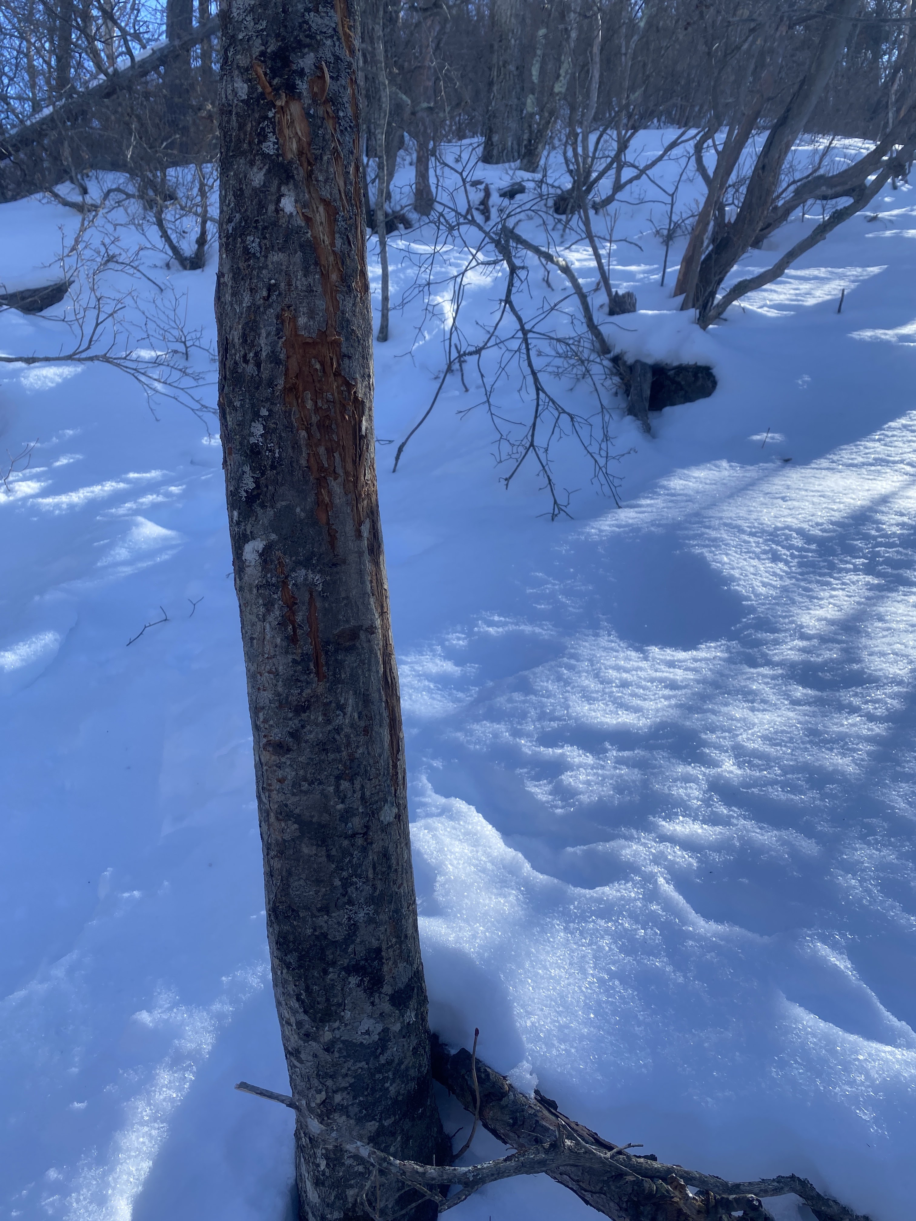
Signs that Yogi has been here.
OK, this is a bit gross but interesting.
The icicle in the next picture is actually my spittle. I spit on a tree and it froze before it could fall off.
Inside every middle-aged man, there is an eight-year-old.
Minus 6.9 C is about 20 degrees Fahrenheit. That wasn't too bad considering the forecast was for minus 17 C, (1.4 F).
It was just freezing when I got back to the car at the end of the day. That temperature seemed balmy as I was almost drenched with sweat.
Just coming out of the forest. From this point on the views just got better and better.
The Chuo (Central) Alps
The Dai Kiretto is fairly easy to pick out
It was deep around here.
Really deep. I sank up to my thighs with each step.
It was really deep on the top.
That little sign marks the top of Kengamine
I ate a BLT here. It was nearly frozen.
It was cold so I beat feet as soon as I finished lunch.
The bumpy ridge is Myogi. The ski area in front of that is the Karuizawa Prince Resorts by the outlets.
In front of that and to the left is Mt. Hanare.
Mt. Fuji is in the house.
Saku City below and the Yatsugatake Mountains beyond
I probably broke a law doing this. Taking pictures at onsens is frowned upon. 😛 I was the only patron so I think it was ok.
It's unfortunate the lens on my iphone steamed up so much. It promised to be a great picture. The bath water is the same color as the Jabori River.
That's basically it for this report. The following are just labeled pictures for the edification of anyone like me who likes to know the names of the mountains you're looking at.
Kengamine taken from Mt. Kokuzo in Saku.
That's all for today.
Subscribe, etc.
Or not.
Check out kobushigatake if you want to see a 100 Famous Mountain