Showing posts with label Uenohara. Show all posts

Mts. Maru, Makiyose and that other one with the long name. Dayhike between Uenohara and Hinohara.


S'up, peeps?

I had some business to attend to on a Saturday night in Tokyo.  Since I was heading down there and had some free time during the day, I decided to drop by some of my old stomping grounds.  

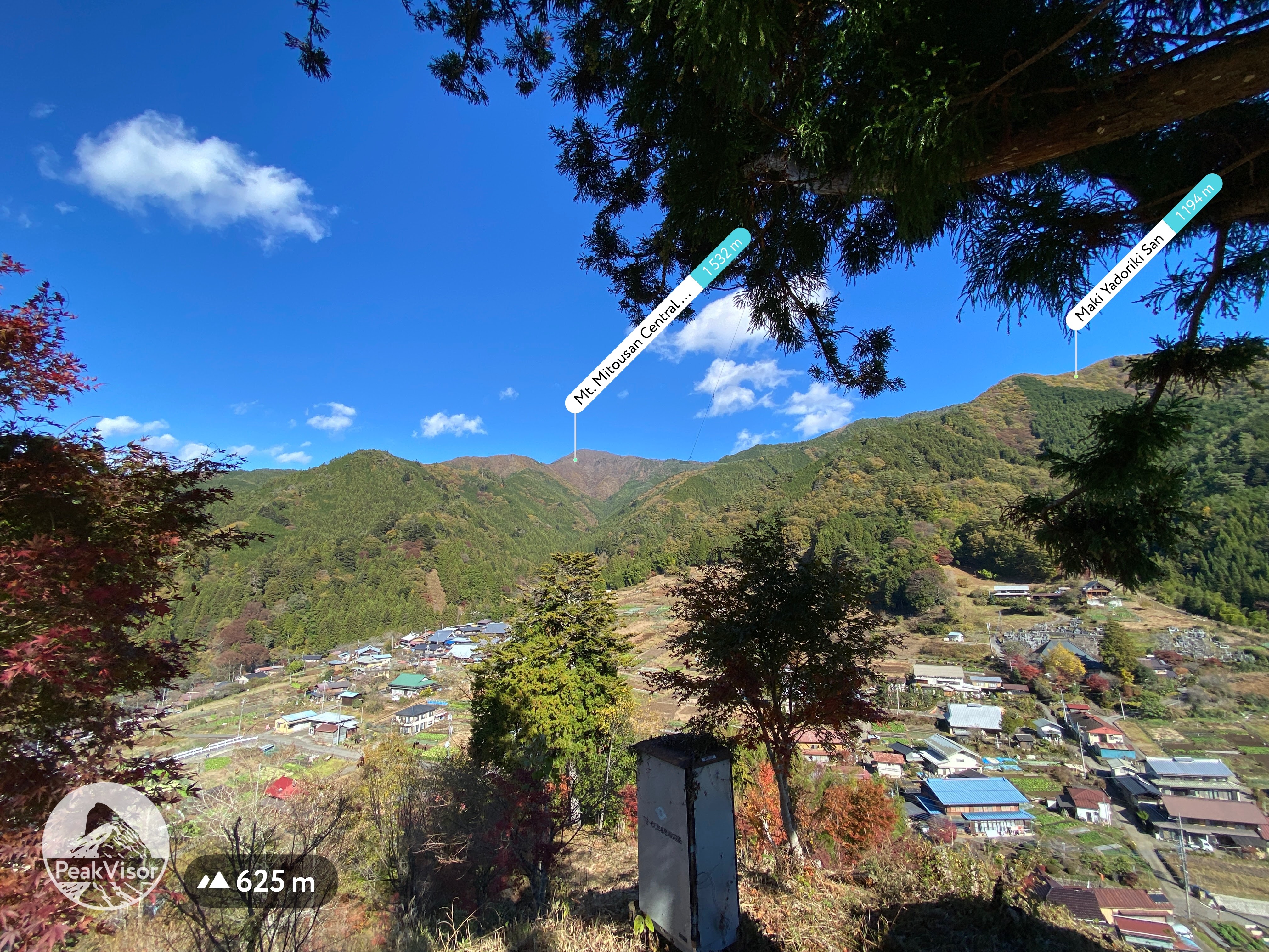
My initial plan for the day was to retrace my footsteps from a hike I made a few years ago up to Mt. Mito.  Saihara to Mito, Sept, 2019  Mt. Mito is a very nice mountain.  Unfortunately, I wasn't able to fit it into this day's schedule and turned back two peaks before reaching there.  

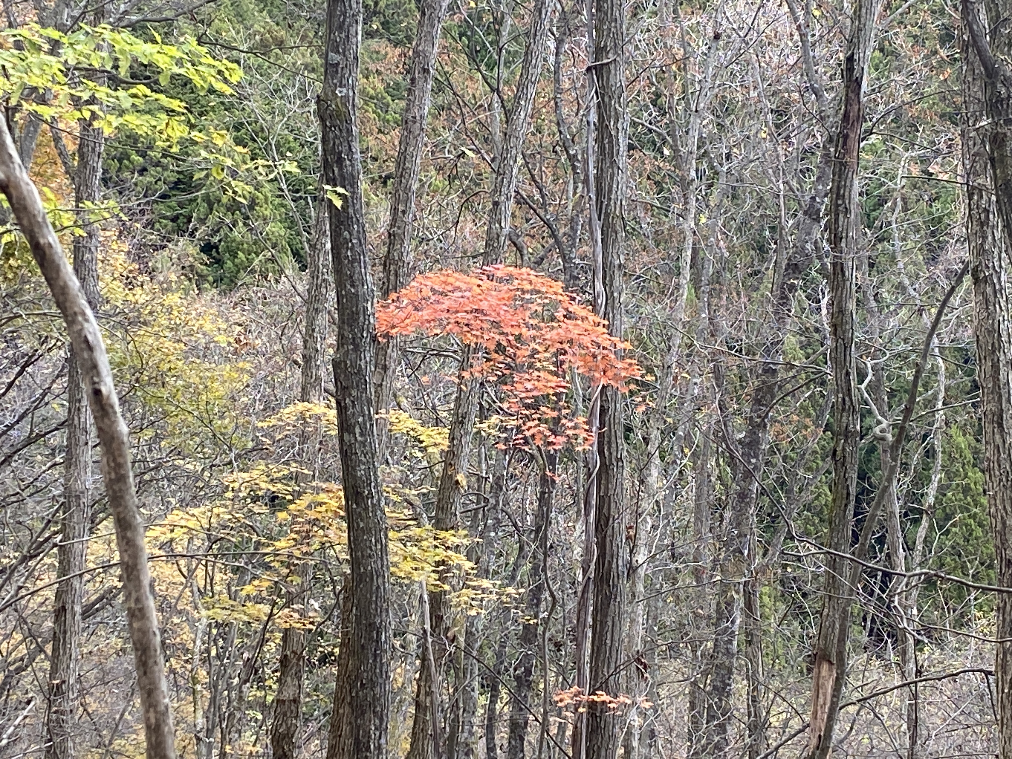
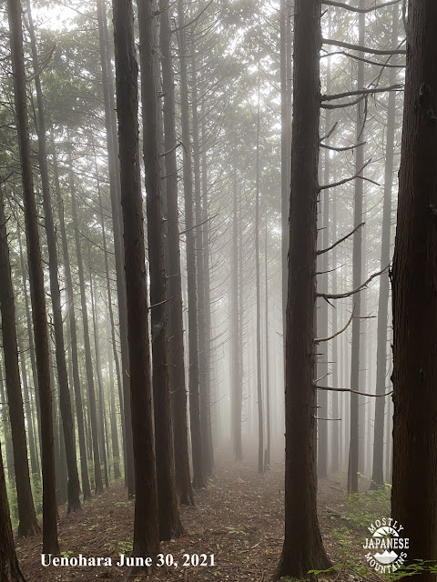
Nevertheless, it was a bit nostalgic to hike in that area.  The weather in the morning was gorgeous.  Unfortunately, it got cloudy by the time I reached the ridgeline and I was denied some of the better views.  That said, it was still a great day.


Location:  Around Mt. Makiyose in Uenohara, Yamanashi and Hinohara, Tokyo

Starting and stopping point:  Uenohara-shi, Saihara

Peaks bagged: Maruyama ~ Makiyose ~ Hachizasusawanoto

(First-time) peaks #839 (This was my 8th time to Makiyose.  Maruyama is the only new one for this day.)

Getting there/getting around:  My car.   There are bus stops nearby that can be reached after about a 50 minute ride from Uenohara Station on the Chuo Line.  That bus only runs a few times a day.

The most popular route from Uenohara is probably the one from the Tsuru Pass (鶴峠).  This trailhead is to the west of Mt. Mito is much shorter than the route I took.  The rise in elevation is also only about half of what my plan was.  The Tsuru Pass can be reached by bus from Uenohara.  That takes about 1 hour and 20 minutes.  I passed that trailhead/bus stop on my way to my trailhead.  I was really surprised how many people were there!  The one time I took that bus, I was the only passenger.

Map: 山と高原地図 奥多摩 御岳山・大岳山 24 Okutama Area Yamatokogen Map

Weather Information: Weather for Mt. Makiyose (Japanese)

Total Time:  3:30 Break time: :16  Distance:  9.6km

Elevation:  Lowest: 549m  Highest: 1,371m  Total Ascent: 1,028m  Total Descent: 1,028m

Technical considerations/difficulty:  No ropes, chains or ladders.  Steep.  If you aren't good at finding the trail, you could get lost.

Facilities:  Nothing on the trail.  

Thoughts/observations/recommendations:  The Sasa One (Sasa Ridge) runs from Mt. Jinba to Mt. Mito.  I have climbed up to it and along it more times than I can count.  😄 Hiking up to this ridgeline from the Yamanashi side is quite secluded.  The routes to this ridge and these mountains from the Tokyo side are more crowded because of their accessibility.  


Today's listening: Bible in a Year


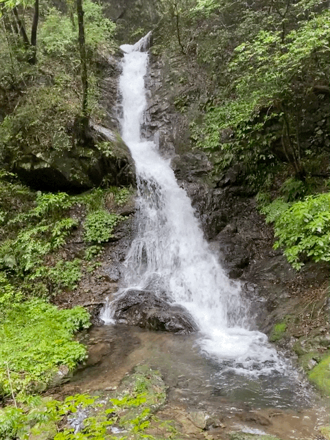
Here are some pictures.


Coming from Nagano down into Yamanashi, I got some nice views on the way.


This is from "Mt." Maru.  It's not very high but is still called a mountain by my app.


I love the variety of flora you can see in Japan.  On the same day you can see fall foliage, you can see flowers blooming.  In the winter, you can still see vegetables being grown under snow cover.


The top of Mt. Makiyose (槇寄山)


This is as far as I went this day.  I always forget the name of this peak.  It's Hachizasusawanoto.  "Bee-Aim-Stream-Head"


I dropped by the Seoto no Yu Onsen on my way through Akiruno.  I was amazed at how crowded it was.  This line was to get into the baths.

Look carefully at the sign on the left.  Tattoos are taboo here.


That's all for today.  Have a good one!  Hit the subscribe button if you have not done that yet.

Caveman, out.


Cave art, 2021. 5/6. Sep-Oct


This is Tokyo.  This was a day of "hikeling."

Tokura, Akiruno あきる野市戸倉


I seem to remember the weather was only good for about 5 minutes this day.  Good enough for a beautiful pic.
Chichibu Urayama


Sawai, Ome flowers


One of the highlights of the year was this overnight to Kitadake, the second highest peak in Japan.

kitadake in fall 秋の北岳


北岳日の出 Kitadake sunrise


間ノ岳 Ainodake


Mt. Nokogiri Nikko


Cave art, 2021. 3/6. May-Jun


This was my 2nd or 3rd time up to Mt. Kobushi (甲武信岳kobushigatake).  I really like that mountain.
甲武信岳 Mt. Kobushigatake 100 Famous Mountain 100名山


This guy was later seen tied to an anvil falling off a cliff.

The coyote!


Japan has a lot of really cool random things.


This isn't far from Takao.  It's on one of the side streets on the left between Takaosanguchi and the Odarumi Pass.  I think this is the Ukai Toriyama .  Very swanky kaiseki restaurant.  I walked by there after exiting the mountains.


Yamanashi


Saitama

Yokoze, Saitama


I had had surgery on my cheek a week or so before I took this picture.  I had just had a golf-ball-size tumor removed.  Thank God, they got all the cancer!


For my birthday, I treated myself with a trip to Nikko to do one of the 100meizan (100 Famous Mountains), Mt. Nantai.

Nikko 日光

Lake Chuzenji Mt. Nantai 100 Famous Mountain 100名山男体山


Back to Yamanashi