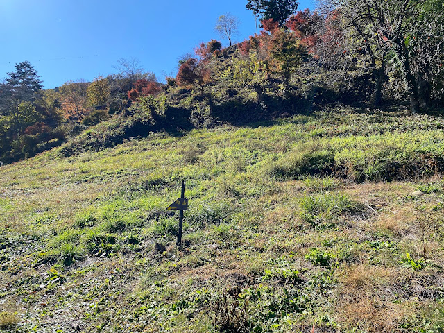
I had some business to attend to on a Saturday night in Tokyo. Since I was heading down there and had some free time during the day, I decided to drop by some of my old stomping grounds.
My initial plan for the day was to retrace my footsteps from a hike I made a few years ago up to Mt. Mito. Saihara to Mito, Sept, 2019 Mt. Mito is a very nice mountain. Unfortunately, I wasn't able to fit it into this day's schedule and turned back two peaks before reaching there.
Nevertheless, it was a bit nostalgic to hike in that area. The weather in the morning was gorgeous. Unfortunately, it got cloudy by the time I reached the ridgeline and I was denied some of the better views. That said, it was still a great day.
Location: Around Mt. Makiyose in Uenohara, Yamanashi and Hinohara, Tokyo
Starting and stopping point: Uenohara-shi, Saihara
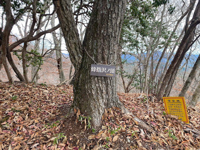
Peaks bagged: Maruyama ~ Makiyose ~ Hachizasusawanoto
(First-time) peaks #839 (This was my 8th time to Makiyose. Maruyama is the only new one for this day.)
Getting there/getting around: My car. There are bus stops nearby that can be reached after about a 50 minute ride from Uenohara Station on the Chuo Line. That bus only runs a few times a day.
The most popular route from Uenohara is probably the one from the Tsuru Pass (鶴峠). This trailhead is to the west of Mt. Mito is much shorter than the route I took. The rise in elevation is also only about half of what my plan was. The Tsuru Pass can be reached by bus from Uenohara. That takes about 1 hour and 20 minutes. I passed that trailhead/bus stop on my way to my trailhead. I was really surprised how many people were there! The one time I took that bus, I was the only passenger.
Map: 山と高原地図 奥多摩 御岳山・大岳山 24 Okutama Area Yamatokogen Map
Weather Information: Weather for Mt. Makiyose (Japanese)
Total Time: 3:30 Break time: :16 Distance: 9.6km
Elevation: Lowest: 549m Highest: 1,371m Total Ascent: 1,028m Total Descent: 1,028m
Technical considerations/difficulty: No ropes, chains or ladders. Steep. If you aren't good at finding the trail, you could get lost.
Facilities: Nothing on the trail.
Thoughts/observations/recommendations: The Sasa One (Sasa Ridge) runs from Mt. Jinba to Mt. Mito. I have climbed up to it and along it more times than I can count. 😄 Hiking up to this ridgeline from the Yamanashi side is quite secluded. The routes to this ridge and these mountains from the Tokyo side are more crowded because of their accessibility.
Today's listening: Bible in a Year
Here are some pictures.


