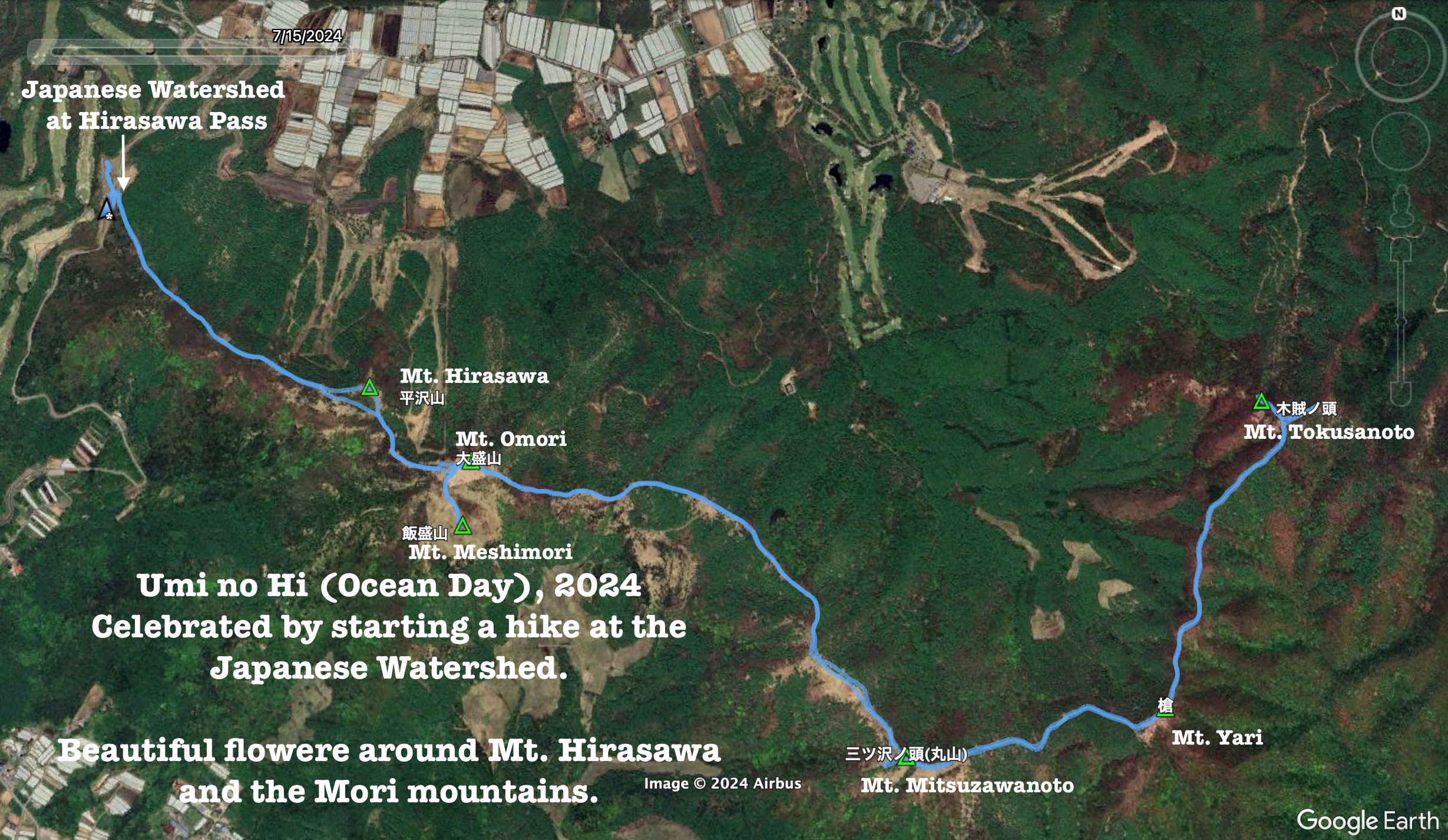
. . . about Kayagatake and Kanagatake
This collection of mountains on the border of Hokuto City and Kai City is at the extreme western end of a series of mountain ranges that extends far to the east into Saitama and Tokyo. It overlooks a valley which encompasses Nirasaki City and much of Hokuto City. The 360 degree panorama at the top of Kayagatake takes in Mizugaki, Kinpu, Mt. Fuji, parts of the Southern, Central and Northern Alps and Yatsugatake.
Kanagatake (金が岳) means gold or money + peak. Kayagatake (茅ヶ岳) means something like grass + peak.
Kayagatake has the sad honor of being the spot where Kyuya Fukada, author of the 100 Famous Mountains of Japan, passed away from a stroke in 1971.
Mt. Kayagatake is one of the mountains listed as one of the 200 Famous Mountains of Japan.
Area:
Hokuto and Kai, Yamanashi Prefecture
Location:
Map: ***If you want a link to the latest Yama to Kogen map, comment and I'll get you a link. This link is to a printable topo map.
Starting and stopping point:
Side of the road. No real parking lot
Peaks bagged: Kanagatake(金ヶ岳) Kanagatake South Peak(金ヶ岳南峰) Kayagatake(茅ヶ岳) Ozue(大杖)
(First-time) peaks # 979~982
Getting there/getting around:
I drove.
There is a bus to a different trailhead. That bus runs from Nirasaki Station to 深田記念公園バス停 Fukada Kinen Koen The link to that bus company is here. 茅ヶ岳みずがき田園バス総合案内
Helpful Info
Weather Information:
Time and distance
Total Time: 4:17 Break time: :15 Distance: 9.4 km
Elevation: Lowest: 976 m Highest: 1,764 m Total Ascent: 961 m Total Descent: 961 m
Technical considerations/difficulty:
This is not terribly high so it is not above the treeline. As it is at the edge of a valley, though, the wind was surprisingly biting.
On the approach to Kanagatake, there are a few spots with ropes and steep slopes I would discourage slipping down.
The trail descending from Kayagatake and Ozue is not used very much and was covered with fallen leaves. This is a bit nerve-racking because it makes for a slippery walk over ground where you can't see what you're stepping on.
Facilities:
Nothing. No waterholes, either.
Thoughts/observations/recommendations:
I can't believe I didn't realize that I was hiking on the mountain where Mr. Fukada passed away until after coming home. I am sure I had heard the name of this mountain before but it just didn't ring a bell when I was there. If I was aware of the significance of this mountain I most definitely would have dropped by his gravesite.
I didn't encounter many people on the first or second halves of my hike but in the middle--the peak of Kayagatake, I was surprised at the large crowd on the peak. I'm sure that Mr. Fukada's memory drew many of them. (I'll bet most of them came by bus and therefore used a different trail than I did which would account for the scarcity of people I met while hiking.)

This is what the mountains look like from the road.

The trailhead is near an intersection of a forestry road and a road that goes past the CamppicaAkeno Campground. There is no parking lot near there.

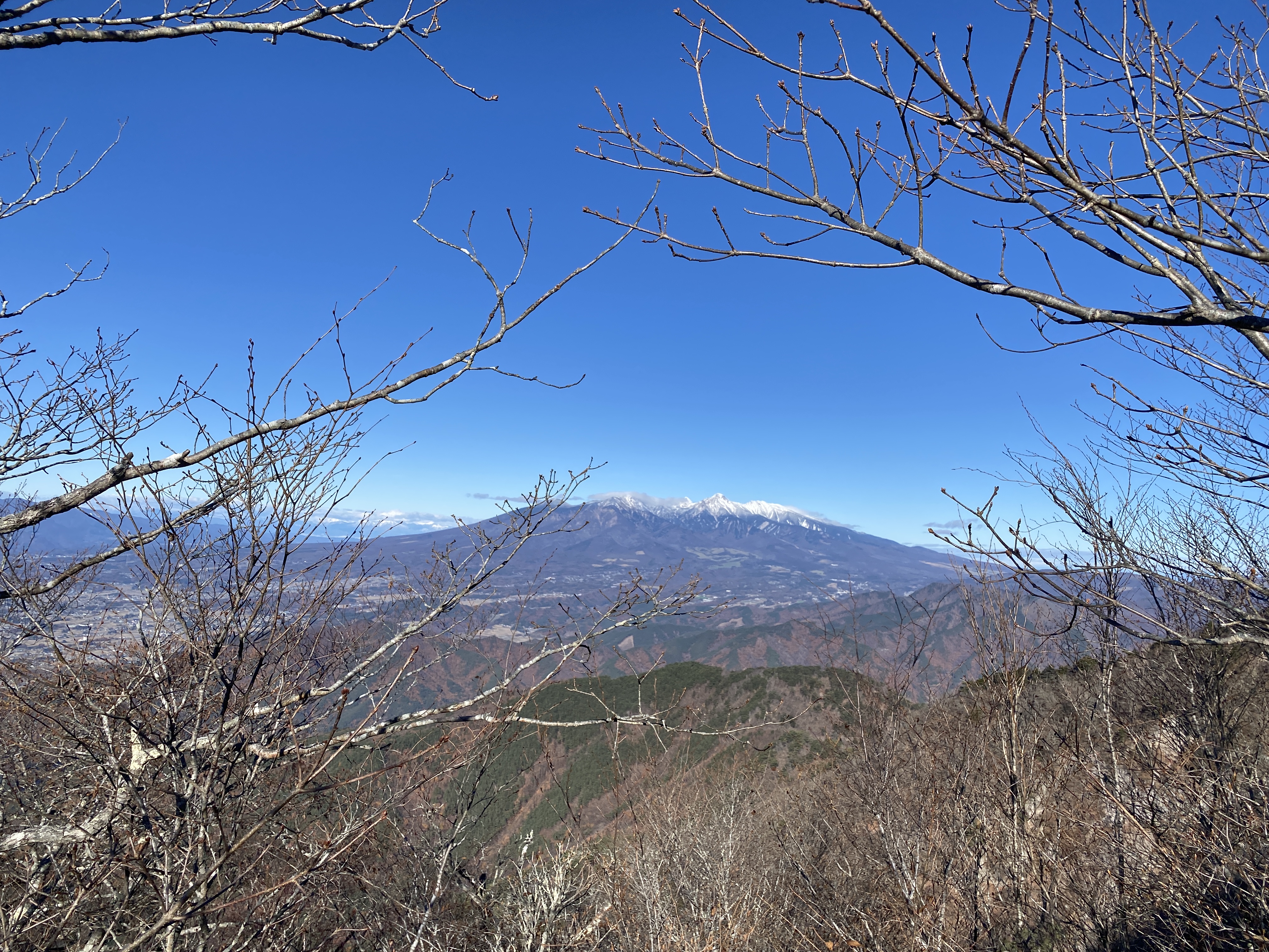
Forgive me for having so many pictures of Fuji. There were so many great viewpoints.


My original plan for the day actually was to be playing in that snow in the foreground but I encountered a road closure on the way to the trailhead. Thankfully, I had a backup plan just in case.

I found this spot interesting because of the ropes and the unusual moss. The ropes up high on the left side of this picture are a barrier so nobody falls off into the abyss that is on the left side of the ridge.


Looking west and southwest

First peak of the day. I hadn't encountered anyone else until just after this peak.


The top of Kayagatake
There were probably 50 people on the top! I was really surprised.


No one seemed to use the trail I descended on.

The last peak I hit doesn't even have a sign.

It's not really that cold! For some reason, the mercury didn't show up in the picture. It was fairly warm. Probably in the low 40s. (About 10 Celsius)

The trail passes through the Akenomura Senbon Sakura Park for a short while before joining the forestry road.

I was too shy to take a picture up close. Those two guys are hunters. You can't see the others, but there were probably 25-50 hunters congregated around all their vehicles. I only talked to them for a minute--just enough to get them to tell me that they were hunting either boar or deer.
I had so many questions I wish I'd asked. For one, I didn't see any guns. I also didn't see any dogs. I don't know how you actively hunt without a gun. I had heard a dog barking throughout the day so I thought it might have been part of a hunting party.
I also was interested in what kind of group it was. I noticed from the license plates that they were from all over Japan.
I was also surprised that there were several cute girls wearing the orange jackets. I never would have expected that in Japan.

This poor girl . . .
I encountered this bitch (for that is indeed the correct term for a female dog) on my last 10 minutes or so of walking. At first, I thought it might be a hunting dog because of all the hunting going on and because she had a rather large collar. I assumed it had some kind of tracking device. She walked more or less with me until I got to my car and I left her.
I don't really like dogs--but this one was nice.
I hope she wasn't lost and that she her owner were reunited. I was not sure if I should do anything or what I could do. It was in the middle of nowhere.

Here are a few more labeled pictures for any of you who are curious.


Well, that's all for today.
Caveman out.