Greetings cave dwellers.
Today I took Mrs. Caveman for a traditional Sunday drive. My plan was not to go hiking at all.
Honest.
The plan was to take her for a lovely lunch at a Michi No Eki near the Utsukishigahara Highlands which has a nice view.
After laboring uphill for a long time, just 100 meters of so before the pass from the south side of the Utsugushigahara to the north side--where that Michi no Eki is-- we encountered a locked gate across the road pronouncing it closed for the winter.
Happily, right next to that gate was the parking lot for the Yamamotogoya (mountain hotel)
That hotel is adjacent to the trail up to the Ogato Hotel on Mt. Ogato (王ヶ頭--"King" "Head").
We parked there and initially planned just to walk as far as the first hotel and check it out. The going was easy and we kept on going. We eventually got to the highest point in the area. Despite there being a few feet of snow on the ground and being at an elevation of over 6,000 feet we were able to do the "hike" in regular street clothes. Everyone else was wearing snowshoes but they had packed the snow down enough in places that we could walk without sinking in.
I truly love where we live. The license plates on the cars in the parking lot were from places far away. People had to spend a lot of time and money to get to someplace we're able to get to on a whim. I'm really grateful.
It was a nice surprise of a day. The weather was beautiful and the views were great. Mt. Fuji even made appearances. Not bad, considering that is about 110km away.
Take a look at the pictures below. Maybe Mrs. Caveman will make a cameo on the blog.
Location:
Starting and stopping point:
Utsukushigahara Chohei Parking Lot
Peaks bagged:
Mt. Ogato (王ヶ頭)
(First-time) peaks XX
Getting there/getting around:
I drove. There are buses to the inns there.
Map:
Yama to Kogen Chizu 33 YATSUGA-TAKE TATESHINA・UTSUKUSHIGAHARA・KIRIGAMINE 八ヶ岳蓼科・美ヶ原・霧ヶ峰 (If that link has died by the time you read this, try searching by copying and pasting Yama to Kogen Chizu 33 YATSUGA-TAKE TATESHINA・UTSUKUSHIGAHARA・KIRIGAMINE 八ヶ岳蓼科・美ヶ原・霧ヶ峰Mapple's website into Mapple's website.
Weather Information:
Total Time: 3:31 Break time: :52
Distance: 6.84km
Elevation:
Lowest: 1,927 Highest: 2,034 Total Ascent: 166m Total Descent: 166m
Technical considerations/difficulty:
This is a pleasant walk.
Facilities:
There are a few inns up there. Plenty of pay toilets. Restaurants, etc.
Thoughts/observations/recommendations:
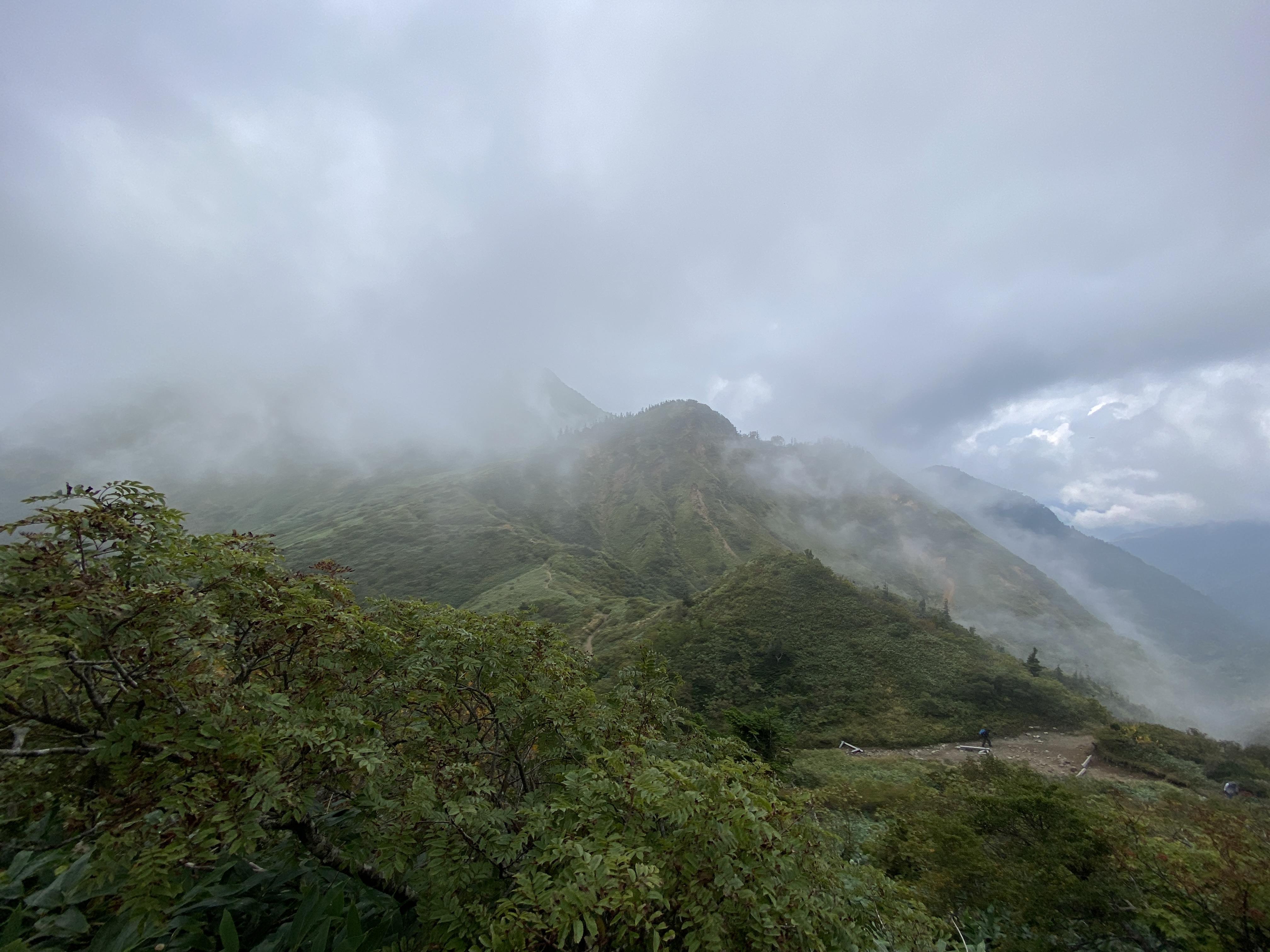
This is a really nice place. It's a plateau with great panoramic vistas. Since it's a plateau, you don't have to climb at all. Today we just walked a few miles. I made a longer trip here last August. That post is here: August hike around Utsukushigahara.


Fuji

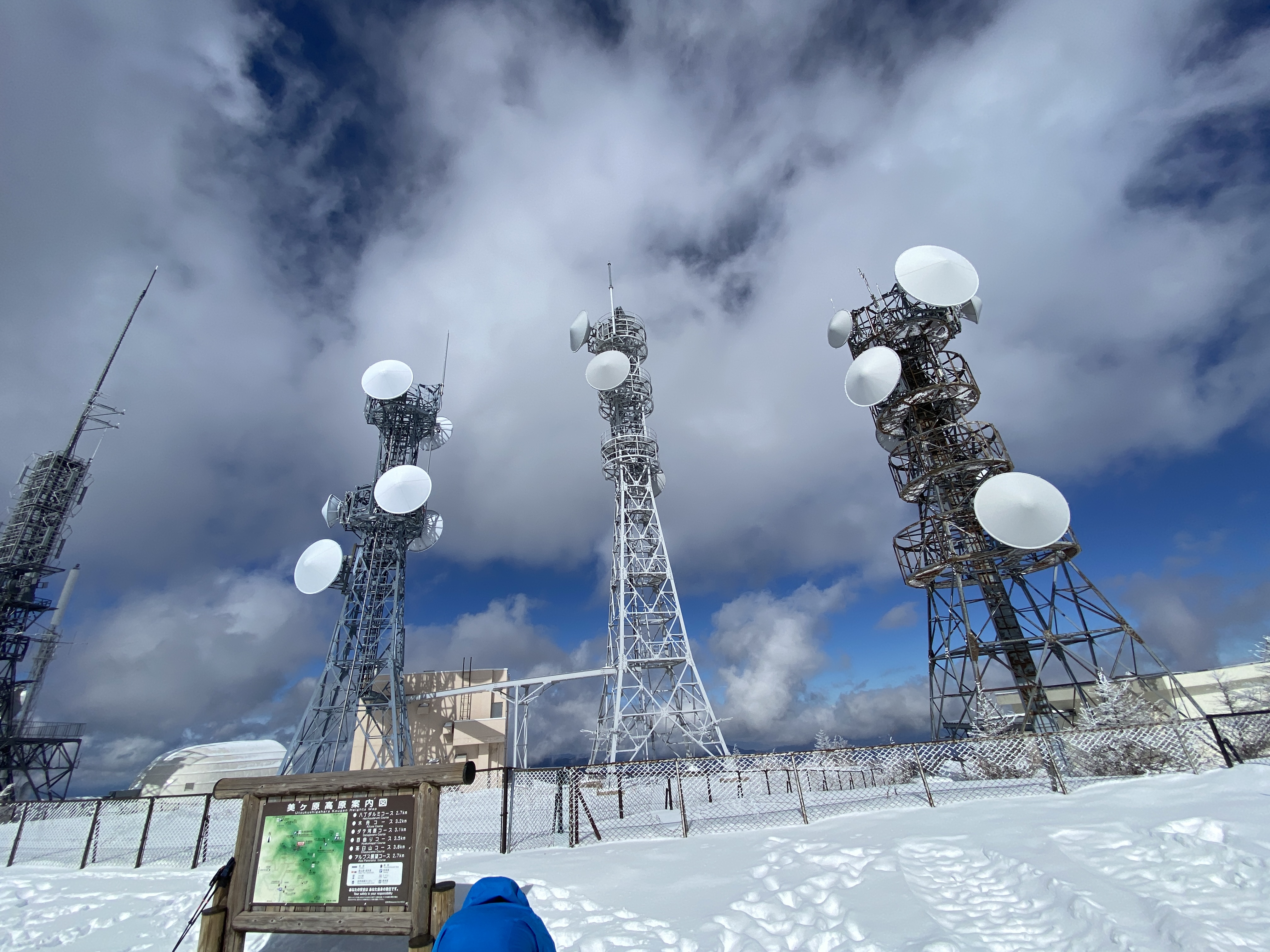
The top.

There are a lot of antennae up there. It makes this place easy to spot from other mountains.
We had lunch at the Ogato Hotel. The Caveman usually doesn't do store-bought food. This was a special treat, though.
Considering lunch was at a restaurant on a mountain, the prices weren't bad. Unlike other mountains huts, they obviously don't get their supply by helicopter. The beef stew was ¥1,200. ¥500 for a coffee was a bit dear, though.

That hotel actually has a shuttle bus service. I also noticed they had a lot of snowshoes and boots for their guests to borrow. My guess is you could go there "tebura" (Japanese for "empty-handed") and do the hiking thing.


The range to the front and left of center is Yatsugatake. Mt. Fuji is just to its right. I couldn't
stop taking pictures of it. It was so beautiful.


Yatsugatake again


This is the road closure.

On the way up the hill, long before we got to the road closure, we encountered this sign.
Basically, it says "Don't even think of going further if you don't have chains on your tires."
That gave me pause for thought--for about 10 seconds.

Thankfully, we didn't really need chains. In bad weather, I think they might be necessary.
Well, cave cats and cave chicks. That's all.
Check this out if you want to see a hike of this area in the green season. There are cows and giant artworks!
Check out Kobushigatake if you want to see another of the 100 Famous Mountains.
This one where the caveman makes a snowball at the end of July is cool, too.
Until tomorrow.
Caveman out.