By car from Tokyo: Take the Shuto Expressway to the Chuo Expressway and exit at the Suwa I.C. Then follow the signs to the Venus Line roadway and take that from Kirigamine. Take the Kan-Etsu Expressway to the Joshin-Etsu Expressway and exit at the Tobu-Yunomaru I.C. Then follow the signs to Route 81 and Route 152 via Takeshi.
By train from Tokyo: Take the Azusa or Super Azusa Limited-Express train (JR) from Shinjuku Station. Get off at Matsumoto Station and take a bus or a taxi along the Venus Line road via Tobiratoge. (The bus runs only in summer) ** I stole these directions from the museum's web site. I hope they don't mind!
Elevation:Lowest: 1,930m Highest: 2,034m Total Ascent: 547m Total Descent: 544m
Technical considerations/difficulty: Anyone can do this walk. Most of the trails are gravel roads along cow pastures. There are no ropes, chains or anything strenuous. Much of this plateau is actually traversed by buses ferrying people between the main street and hotels on the plateau. I walked over ten miles today and don't feel like I did anything more strenuous than going to 7-11.
Facilities: A large outdoor museum. Utsukushigahara Outdoor Museum The michino eki has a restaurant and gift shops. There are also two lodging facilities which have their own restaurants and gift shops.
Thoughts/observations/recommendations:
"Utsukushigahara" means "Beautiful Field." This area lives up to its name.
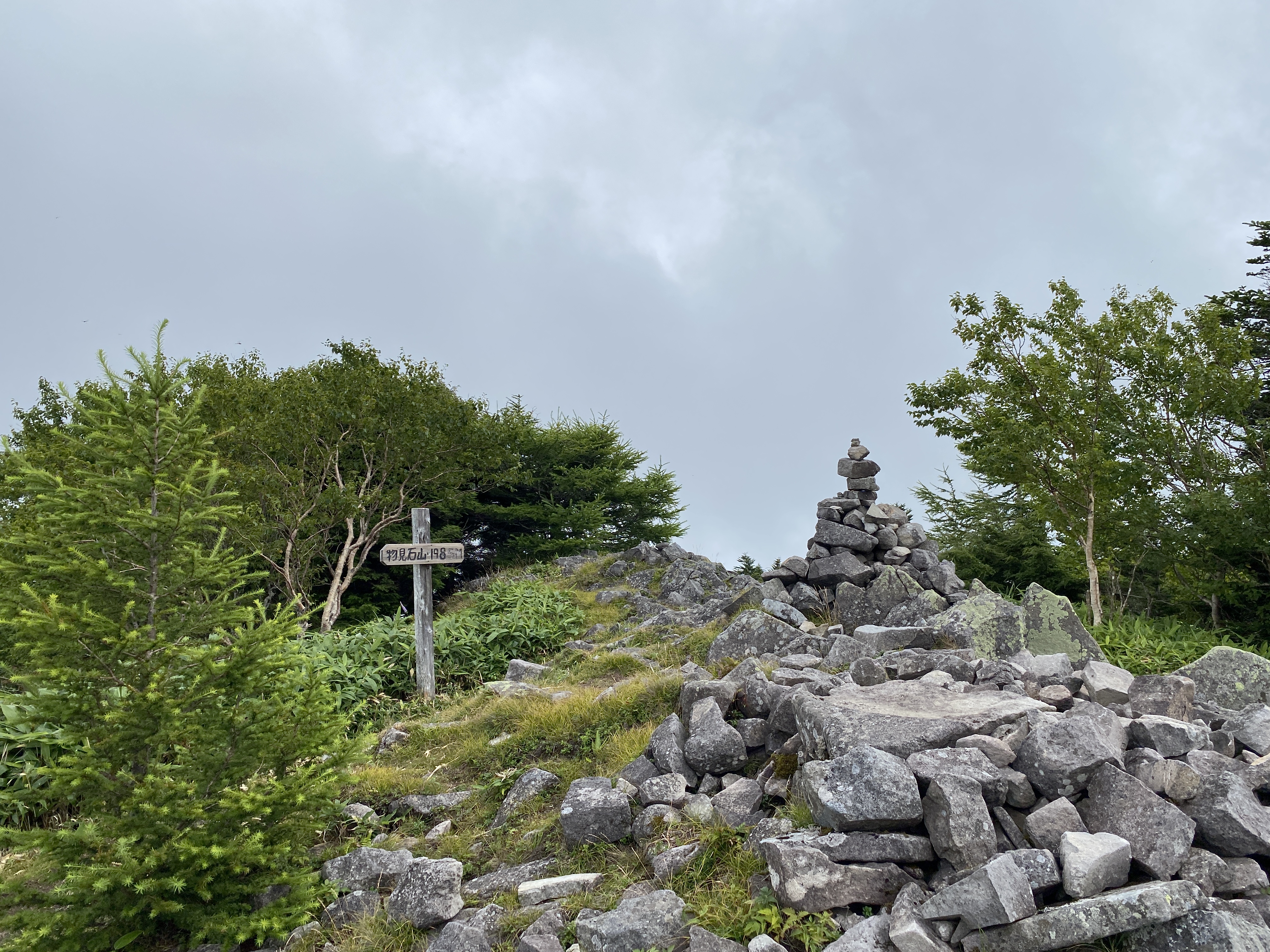
What a great place this is. I'll have to go back when it's not cloudy. 😭
Although this plateau is a very easy walk, it has commanding views of each quadrant of the compass. Unfortunately, you don't get to take in those views on cloudy days. I will most definitely be going back here someday when it's nice.
It turns out that I logged my 800th peak on this hike. I think my climbing app stops counting at 1,000. Maybe I'll slow down a bit when I reach that number.
It is kind of neat to look back at where I've been. I can trace my footsteps from Nagano to Tokyo Station, from there to the Izu Peninsula, from there to--and up--Mt. Fuji. I can also trace my path around all of the 5 Lakes of Mt. Fuji. Today, when I was manipulating google earth to take a screenshot, I was a bit surprised to see all these green triangles appear when I took a long view from this area toward the south. Each one of the triangles represents a peak I've been on.
Enough about me. Let me show you some pictures from my day. 😆
The trail goes by, but not through, the open-air museum. That museum looks cool, actually. I don't know art, but I know if I like something. I liked this place. Most outdoor art makes me think, "This 'artist' should get a job." These installations made me think, "Wow. Good job."
There are a LOT of cows up there.
Fun fact, they eat bamboo grass.
This poor cow looks different than all the others. His only friends seem to be humans. I hear they don't even let him join in any bovine games.
Last week, when I was on Kirigamine (AKA Mt. Kuruma), I spotted these antennae and thought they looked cool. I didn't realize at the time that they are atop one of the 100 Meizan.
The Ogato Hotel is right next to the top of Mt. Ogato. (What a coincidence.) They have a restaurant and gift shop. Nice place.
The top of Mt. Ogato (AKA Utsukushigahara)
Ogato (王ヶ頭) translates to "King"~"Head." That word for head often is used to denote a mountaintop. eg, Tokyo's Mt. Mito (三頭山) means "Three-headed mountain."
This is on the top of the next peak, Mt. Ogahana.
Ogahana (王が鼻) means "King"~"nose." Supposedly, if you look up at the plateau from a particular area, the peak of Ogato looks like the crowned head of a king and this peak looks like his nose.
Cool, huh?
This plaque bummed me out. Around the circumference are all the mountains you could see there if it was clear.
Since I drove up here, I easily forgot how high it is. The way these trees have been shaped by the wind reminded me that this must be a rough place in inclement weather. It it the highest point around for quite a ways so it much catch a lot of extreme weather.
Greetings, cave dwellers. What a great day this was! My last two treks were characterized by bad weather and poor visibility but today made up for all that. It was an absolutely beautiful day to attack one of the 100 Famous Mountains--Mt. Kuruma--and all of the other peaks around it.
I had planned on only hiking 2 peaks but it was so beautiful and I was making such good time that I hiked each one in the area and didn't even feel like I broke a sweat.
Getting there/getting around: I drove. There is bus service to the area by the Alpico Bus Company, the same bus company that services Kamikochi. There are numerous bus stops in the area. If you go to their site, there is an automatic English translation available by clicking a button at the top right side of their page.
Elevation:Lowest: 1,416m Highest: 1,925m Total Ascent: 1,040m Total Descent: 1,040m
Technical considerations/difficulty: This is an extremely pleasant walk. Except for the trail that I took down from the last mountain to the car, the trails are all relatively level stone paths. The last trail that I chose was a bit strenuous, but not too bad. I wouldn't take that trail if you don't have a GPS device and a good sense for finding unmarked trails. There are no ropes, ladders or chains.
Facilities: The parking lot was free. Here and there are public restrooms.
Thoughts/observations/recommendations: What a great set of trails. There are spectacular views of Mt. Fuji, all of the Alps, Mt. Asama and Yatsugatake. I want to get back there in other seasons. Snowshoeing must be fun up there. There are a lot of ski areas there. I'm sure that leaf-peeping from the chairlifts and gondolas must be great.
The parking lot is free but I got the last open space. And that was at 6:30 am!
Much of the trail was like this. It was pretty mellow.
Mt. Kitanomimi ("North Ear Mountain")
Lake Shirakaba
This is a hopping place now that summer vacation is here. Many schools have camps nearby and their sports clubs come up here to train. There are also several hotels and amusements around the lake.
I was blessed to get into the woods today. the weather isn't cooperating too much these days but--if it's true that a bad day fishing is better than a good day at work, it must be doubly true about days in the mountains.
I had all sorts of mountain plans for this summer vacation but the weather and schedules aren't making the longer treks feasible. I gave up on a planned 3-day trip to the Alps this week. Today I only drove about an hour away and did a not-so-long hike in case the weather went bad. It did go bad, so I guess I did the right thing.
The main mountain I climbed was Mt. Azuma (四阿山) in Gunma. It's one of the 100 Famous Mountains so I assume it's beautiful. I can't really say though. Because of the weather, I really didn't get a good look at it. Nor from it, either. I'll have to go back on a clear day sometime.
Peaks bagged: Neko (根子岳) ~~ Koneko (小根子岳) ~~ Azuma (四阿山) ~~ Nishiazuma (西四阿山) ~~ Nakaazuma (中四阿山)
Getting there/getting around: I drove. There is a parking lot (200 yen) near the trailhead at Sugadaira Farm. A bus from Ueda Station will go as far as the Tengu Bus Stop, which is a 37-minute walk from the trailhead.
***I checked 3 different weather reports. As usual, they all conflicted. One forecast lightning, thunderstorms, the four horsemen, of the apocolypse, sharknadoes . . . Another forecast partly sunny skies. The other predicted a perfect day. Of the forecasts I checked, the first link I posted above was the best. There were thunderstorms.
Total Time: 5:52 Break time: :43 Distance: 11.3km
Elevation:Lowest: 1,580m Highest: 2,354m Total Ascent: 1,094m Total Descent: 1,094m
Technical considerations/difficulty: Fairly straightforward hike. There is a lot of bamboo grass. I encountered one snake on the trail.
Facilities: Public restroom, cafe, gift shop at the trailhead. Nothing on the trail.
Thoughts/observations/recommendations: I'll have to do this again on a clear day. I was robbed of any views because of the weather. It really poured a few times and there were thunder and lightning. Thankfully, not when I was near the top.
Snake! This guy did not care that I was there. I threw a lot of rocks and sticks at him but he wouldn't budge. I finally took my life in my hands and hurdled over him.
There is a lot of this bamboo grass (sasa) on these mountains. Bears like it. Apparently there was a bear sighted on this trail last month.
I didn't take many pictures of the rain because it was coming down too fast and furious. I do wish I'd taken a few when it was really coming down because it had really turned the trail into a stream.
This is the second hike in a row that my feet have turned into hamburger from getting wet.
That's all for today. Subscribe (or not). Tell your friends (or not).