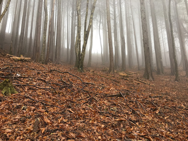
Hey there, cavecritters. This is a hike from Mitsumine Shrine, Saitama to Mt. Kumotori and then on to Okutama Station made over two days in March of one year. Check it out.
Area:
Location:
Map:
***The Caveman gave up on posting links to Yama to Kogen maps. They are great maps but the publisher updates them almost annually and the links die. Comment if you want me to get you a link to the latest Yama to Kogen map.
Starting and stopping points: Mitsumine Visitor's Center Okutama Station
Peaks bagged: many
Getting there/getting around:
Get a bus from Seibu Chichibu Station to the Visitor's Center. (About 1 hour 20 minutes.) Seibu Chichibu Station is about 2.5 hours from Shinjuku.
There is also parking at the visitor's center if you want to drive.
Helpful Info
Weather Information:
Time and distance
Total Time: 12:42 (over 2 days) Break time: 1:18 Distance: 34km
Elevation: Lowest: 342m Highest: 2,017m Total Ascent: 2,689m Total Descent: 3,395m
Technical considerations/difficulty:
It's a taxing hike. You need spikes and maybe other snow equipment in winter.
Facilities:
The Mitsumine Visitor's Center really impressed me. It was worth dropping in to see all the taxidermied animals and exhibits.
The Mitsumine Shrine is also worth looking at before beginning the hike.
Kumotori Lodge is on the north side of the peak. You can stay and eat there, too.
Kumotori Evacuation Hut: Right next to the peak. There is a public restroom up there, too.
Kumotori Helipad Nice to know in case there is an emergency. Do not pitch a tent on the helipad, though!
Nanatsuiishi Mountain Lodge You can stay there also. There's food and water.
I heard through the grapevine that they are building campsites near the Kumotori Helipad. I can't confirm it, though.
There are waterholes near the helipad, the Nanatuishigoya and near Mt. Takanosu.
Thoughts/observations/recommendations:
This is fun. The north side of Kumotori had more snow than the south side.
There are also several minor peaks near the Mitumine Shrine that I have been to on other treks. Saitama has many mountains that may not be that high but that do deserve respect because of their ruggedness and remoteness.
OK, let's look at some pictures.
Seibu Chichibu Station
Mitsumine Visitor's Center
Mitsumine Shrine
On with the spikes
Kumotori Lodge
Top of Kumotori
Taken from the Evacuation Hut
Evacuation Hut
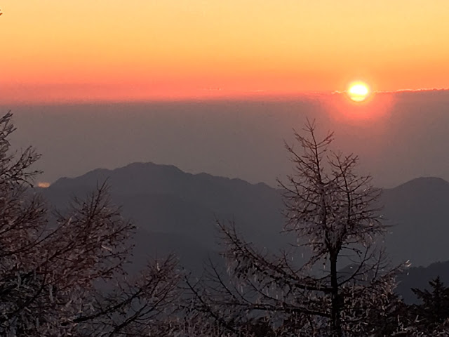
What a sunrise that was
After spending the night at the Kumotori Evacuation Hut, I descended to Mt. Nanatsuishi ("Seven" "Stones") and got onto the Ishi Ridge for the beautiful but long walk to Okutama Station for the train ride home.
Well, that's it for now. Caveman, out.
More of Kumotori?
Honorable mention


No comments:
Post a Comment
Have a comment? Please, keep it clean.