Greetings, cave ladies and gentlemen and cave kids of all ages, shapes and sizes.
I've been doing this blog for a few years now but some of the mountains I cut my teeth on before starting blogging never got a mention. Several experiences are worth noting. I think I can share a lot of information useful to people who live in or near Tokyo since I did so much hiking there.
The first mountain I will share is the highest one in Tokyo. It's Mount Kumotori in western Tokyo. Kumotori is actually the meeting point of Tokyo and the prefectures of Saitama and Yamanashi. I've climbed this mountain 6 times. I think I'll make blogposts for 3 or 4 of those hikes.
Kumotori is one of the 100 Famous Mountains from Kyuya Fukada's book. The kanji for it is 雲取山. It means something like "Cloud gather."
Area:
Location:
Map:
Online interactive topo map
***The Caveman gave up on posting links to Yama to Kogen maps. They are great maps but the publisher updates them almost annually and the links die. Comment if you want me to get you a link to the latest Yama to Kogen map.
Starting and stopping points: Kamosawa Bus Stop Okutama Station
Peaks bagged: many
Getting there/getting around:
Get a bus from Okutama Station to Kamosawa Bus Stop. (About an hour.) Okutama Station is the terminus of the Okutama Train Line. That is about 2 hours from Shinjuku.
There is also parking at the trailhead if you want to drive.
Helpful Info
Weather Information:
Time and distance
Total Time: 12:31 (over 2 days) Break time: :45 Distance: 34.8km
Elevation: Lowest: 331 m Highest: 2,017m Total Ascent: 2,837m Total Descent: 3,035m
Technical considerations/difficulty:
It's a taxing hike. There are not many places with ladders or chains but much of it is steep and much of it is exposed to the weather. I recall seeing a youtube documentary of a hike up Mt. Kumotori. The documentarian said, "This is the hardest mountain I've ever climbed."
Although it is in Tokyo, the weather can be much colder than you'd expect and it does start snowing around October or November.
Facilities:
Kumotori Helipad Nice to know in case there is an emergency. Do not pitch a tent on the helipad, though!
Kumotori Evacuation Hut: Right next to the peak. There is a public restroom up there, too.
Kumotori Lodge is on the far side of the peak. You can stay and eat there, too.
I heard through the grapevine that they are building campsites near the Kumotori Helipad. I can't confirm it, though.
I do recall two waterholes on the trail.
Thoughts/observations/recommendations:
If you live in Tokyo and haven't tackled this mountain, do it! I recommend prepping for it with some smaller mountains first, though. In order, I would suggest Mt. Otake, then Mt. Kawanori, Mt. Mito and then Mt. Takanosu before trying this one.
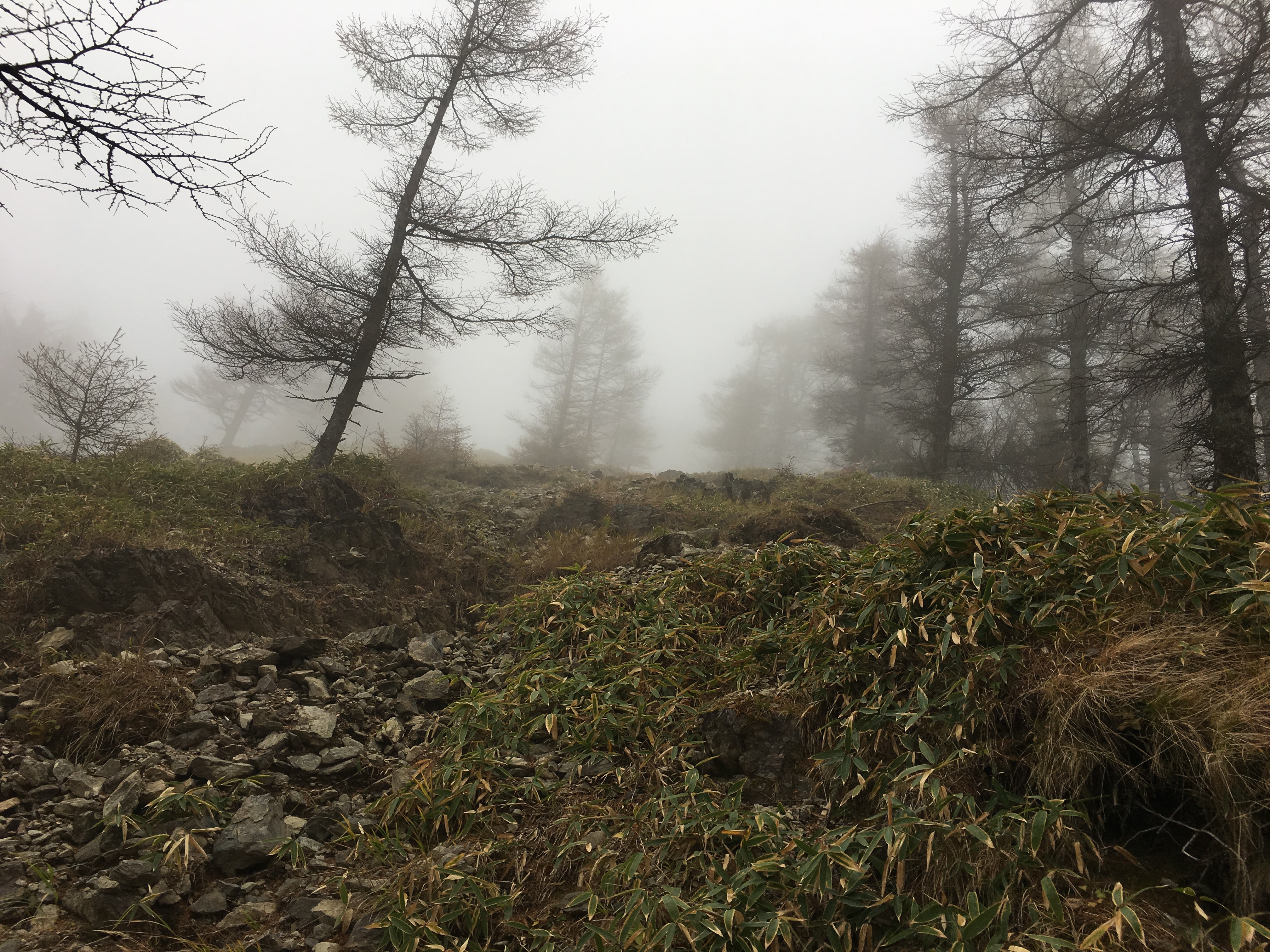
OK. Let's look at some pictures.
At the trailhead:
This one gave me pause for thought . . .
This is the evacuation hut. I've stayed here 3 times. Now that I've looked into things more closely, I don't think you're supposed to use these except in emergencies. I've never been the only person though. Since there are Japanese hikers staying there, I've assumed it's ok.
I took this on my way down. The guy in that tent looked absolutely miserable. He must have been soaking wet.
After passing Mt. Nanatsuishi, I turned left to take the long trail along the Ishi One (Rock Ridge) to Okutama Station. It has spectacular views. It's a loooooong walk, though.
I think I took this at Mt. Takanosu. That's one of my favorite mountains.
Looking at some of my familiar stomping grounds.
That's all for this one. I'll put up a few more posts on Mt. Kumotori soon.
Caveman out.


No comments:
Post a Comment
Have a comment? Please, keep it clean.