Here comes the sun! I was so happy to be blessed with nice weather for a camping trip up in the higher elevations. It really has seemed like forever since I had a clear day to enjoy the views. Thankfully, my patience (and a lot of hard work on this trip) was rewarded with some stunning sights.
See, it really was gorgeous.
This trip was a bit farther than I usually go and incorporated mountains I usually only glimpse from a distance. Usually, I travel within a radius that I can get to on my scooter or bicycle for a day trip. I wanted to go somewhere higher for this overnight so headed out to the Minami (Southern) Alps. My goals were to climb the 2nd and the 4th highest mountains in Japan; Mt. Kitadake and Mt. Ainodake.
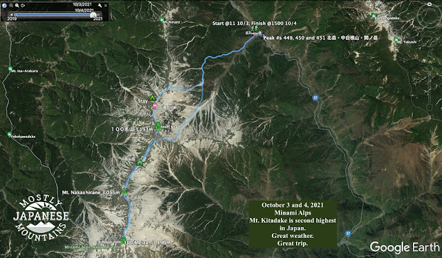
This entailed taking a train (the Azusa Express on the Chuo Line) from Tachikawa to Kofu and from there a two-hour bus ride up to the Hirogawahara Sanso where the trail starts. I left my home about 7 am and was at the trailhead about 11. The Hirogawahara trailhead is at the top of this map.
It was a day of new beginnings. My faithful and trusty boots started to show some wear and tear over the late summer. I bought a replacement pair in August but determined to wear the old ones until my feet bled. On my last hike, though, a big rip appeared in one of the seams and, rather than getting them repaired (again), I decided to use the new ones.
Hail and farewell.
This was a steep hike. It's an ascent of about 1,700 meters from Hirogawara to the top of Kitadake. That's more than a mile for any Americans who are wondering. And that is not taking into account any of the up and down portions along the way. After hiking for about an hour, for some reason, the thought occurred to me that the highest point in Tokyo is 2,017 meters and I wondered how high I was at that point in time. When I checked my map, I happened to be at an elevation of 2,018 meters. That seemed kind of cool to me.
I noticed that the leaves had started to change colors around 2,200 meters up. Getting higher, I was getting treated to lots of great scenery.
One thing that made this hike challenging was that there were no breaks in the climbing. Usually, when you get up to a ridge, you get some rest and things flatten out in places. Not here. The boulders keep you on your toes.
Between the starting point at Hirogawara and the furthest point, Ainodake, there were two places that I considered for pitching my tent. The first is a place called Katakoya (肩小屋), which is before Mt. Kitadake. The second place is on the far side of Mt. Kitadake, called Kitadake Sanso (北岳山荘). Tentatively I planned on making Kitadake Sanso on day 1. I was thinking of getting up before sunrise on day 2 and heading up to Ainodake for sunrise before returning to retrieve my tent on the way back down to the bus.
But . . . I got a little worried when I realized I wasn't going to be able to start until 11 on day 1. Also, the time estimates on different maps varied widely and if some of them were to be believed, I wouldn't have gotten there until long after dark. Usually, I'm faster than those estimates but sometimes they are spot on.
I reached the first option, the Katakoya, around 3 after 4 long, hard hours of work and decided I'd had enough for the day. This hike, from beginning to end, was a bear. Most of it is steep and a lot of it is hand over hand. I was averaging about 1 km/hour. Walking on flat ground, I walk 1 km in about 12 minutes. Hiking in hills, I usually do a km in about 20 minutes.
Anyway, fatigue got the better of me and I stayed there at the first place. Looking back, I probably could have made the second place but I think I did make the right decision. Prudence is the better part of valor.
This is me ringing the bell announcing my arrival at the Katakoya. :-)
Here's my tent.
The rock was to keep it from blowing away until I got it set up and put my junk inside. It was windy.
Tenting here is ¥1,000. Staying inside the lodge is (I think) ¥9,500. They have food. It's pricey as you would expect since all the supplies are brought by helicopter. Bottled drinks are ¥600. Chips, too. I think a bottle of wine was ¥2,800. I'm glad I don't drink! They will let you refill your own water containers for ¥100/liter. That's a bargain.
I got my tent set up and choked down some chili for dinner. I was surprised to not be very hungry. I was starting to feel like I had a cold. I had, basically, a miserable night. My head was pounding. I was sneezing. I couldn't sleep. Every time the breeze tickled the flaps on my tent, I thought it was a raccoon after my trail mix.
As sometimes happens in my tent at night I began wondering about some life decisions. "Is this really fun? Do I really want to go all the way to Ainodake tomorrow? I'm only 1/3 of the way through this trip and I'm this beat. What if these symptoms are COVID? Are they going to let me on the bus back to Hirogawahara? That's the only way to civilization..."
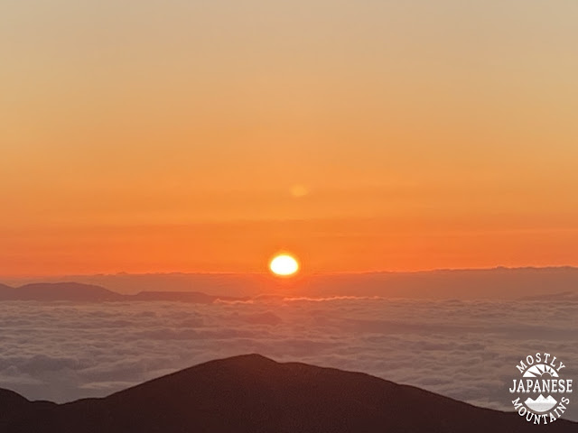
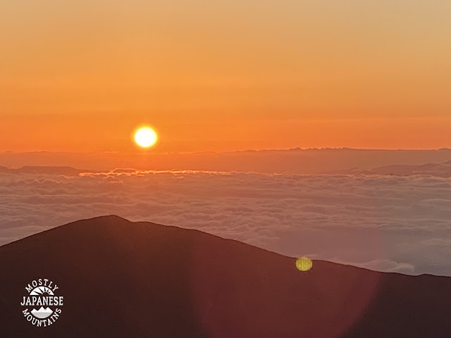
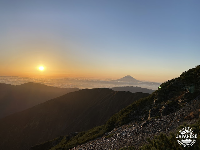
Sunrise was at 5:42 so I set my alarm for 5:30. I didn't need any alarm. I gave up any pretense of trying to sleep and opened my tent flap at 5 to see this.
And everything was right in the world again. I was so happy I was on this trip.
I took far more pictures of the sunrise than you are interested in seeing, but it was spectacular. And worth all my murmuring to myself overnight. Here are just a few.
This video is long. I don't even have the patience to watch the whole thing.
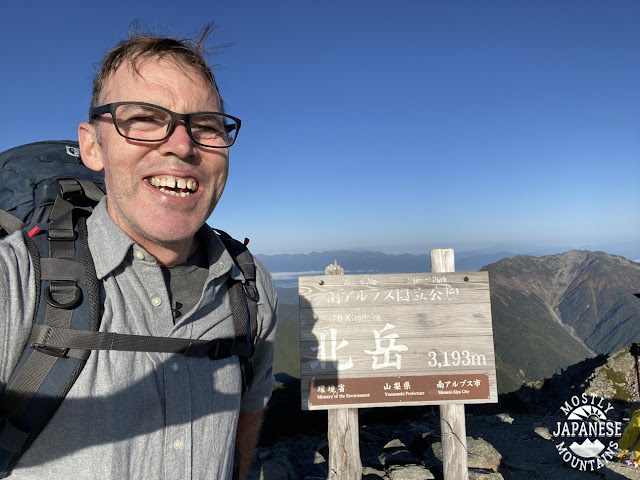
After breakfast and tearing down the tent, I started off at about 6 or 6:30. I was at the top of Kitadake after 7.
Mt. Kitadake
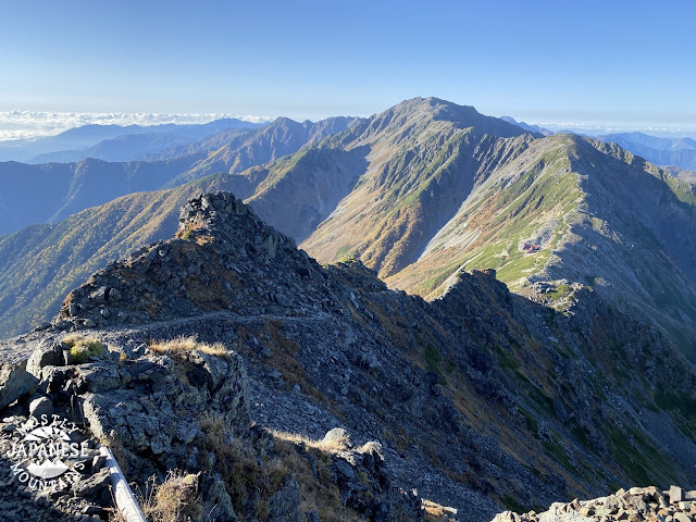
Then I trucked on down to the Kitadake Sanso and up to an interim peak, Mt. Nakashirane, before heading on to Ainodake.
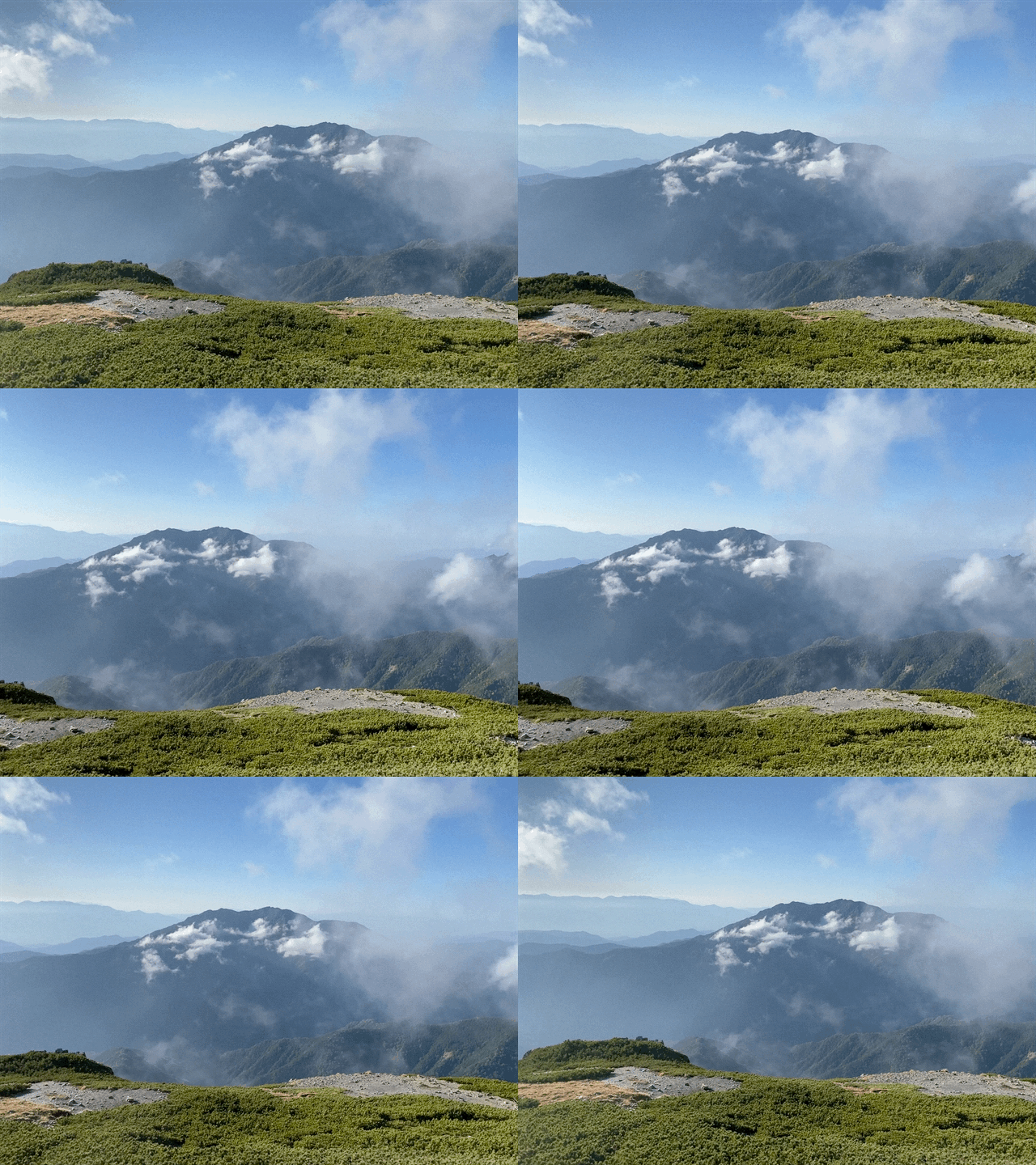
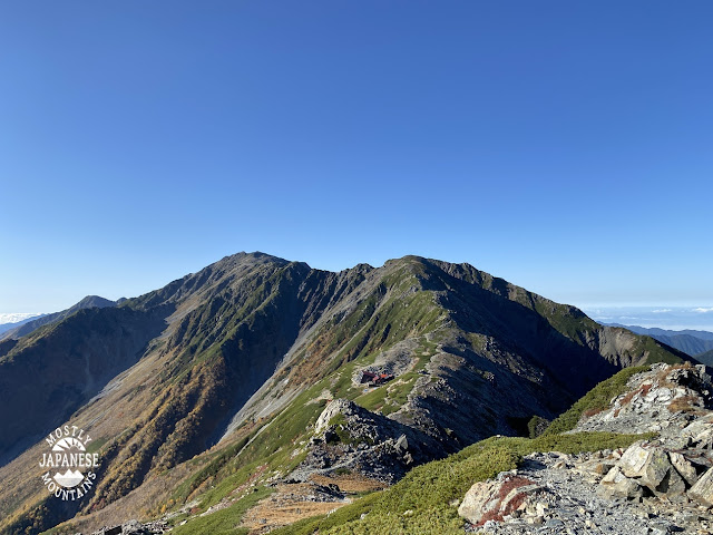
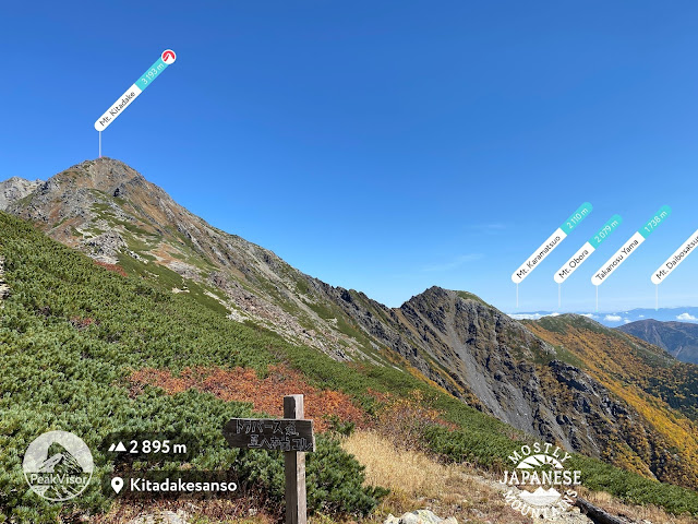
The Kitadake Sanso is about halfway up the first hill a bit to the left of the ridge in this picture. That first hill is Mt. Nakashirane and the taller one beyond that one is Ainodake.
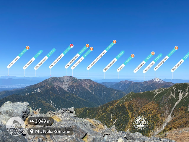
This is from Mt. Nakashirane. So many mountains are on my bucket list now.
See the Caveman's trek to Okuhotaka at the link.
This is Mt. Ainodake.
Panorama from Mt. Ainodake
This was taken from the Kitadake Sanso. Those mountains notated on the right side are my usual stomping ground; 30-40 miles to the east.
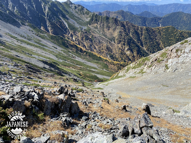
No rest for the weary. Going down was a challenge, too. LOTS of steep stairs. Lots and lots of scree. That makes for frustratingly slow-going and is a bit treacherous.
And we will outlast them.
Here's one last video--an animation of the route--if you're interested.

Want to see more of the 100 Famous Mountains? How about Kisokomagatake or Kobushigatake?
Subscribe and comment as you wish. Have a good one.
Caveman out










Nice one Pat. Absolutely love the Minami Alps and it pains me that I haven't gotten there these past couple years. Good decision staying at the Kata-no-koya I don’t think many get past there on the first day. Your second day must have been quite long but.
ReplyDeleteHi David,
DeleteIt was actually my first time in the Minami Alps, I guess. I might have just touched the range once or twice before. I typically stay within day-trip distance of the area we live in. (I'm in Akishima.) I've been spoiled by being able to get to so many mountains by just traveling only a half hour or so. After a few years, though, I've pretty much exhausted every trail from this area out to around Kobushigatake.
So many mountains went on to my bucket list after this trip. I'm so glad my wife puts up with me.
Have a good one.