Everyone's always asking me what's in my backpack. Usually, they say something like, "What have you got in there, a Sherpa?"
I'll put some pictures up of what I carry on day trips between spring and fall.
My pack is pretty much always ready to go. I just need to do replenish food and water for each trip.
I'll start with something that is always attached to my backpack. My Cocoheli transmitter. Cocoheli is a really useful service that will find you and send a helicopter in case of emergencies. I hike often, so buying the Cocoheli and subscribing to the service makes sense and gives Mrs. Caveman relief from some worry.
A bit of an explanation in English by google is
here.
OK...back to what's inside the pack.
I tend to bring probably more water than I need. Even if there is a water hole on the map, I would rather have more water than not enough. I don't go in for expensive water bags or anything like that. As you can see, I'm recycling plastic bottles I usually drink one bottle of green tea each day and I keep the leftover bottles for hiking.
I usually bring a thermos with some coffee, too.
This is enough food for a full day of hiking.
I've been baking bread since COVID started and I typically take a sandwich made with homemade bread. On this day I opted for banana muffins instead. Wow, they were good. That green case is pretty sturdy. It used to contain a camping stove but I like to use it to keep crushable food items safe.
The trail mix is usually some combination of raisins or dates, peanuts or cashews and M' and M's. If you're in Japan, I would recommend looking for peanuts at Don Quijote and other nuts and raisins at Gyomu Supa (業務スーパー). They have the best prices.
I never touch the trail mix. That's just emergency food. It's not pictured, but I also keep a few cans of tuna for emergencies. I've realized that I don't need to eat as much on the trail as I used to think I did.
I like to hike with apples because they are portable and I don't feel like I have to pack out the core when I am done eating. It goes back to nature.
You might notice there is no cooking stuff in my pack. Good eye. I don't see the need to carry all that extra stuff on a day trip. If I want something hot, I'll heat it at home and bring it in a thermos. I'll be honest, when I see people pulling out a camping stove for a trip to a local mountain like, say Takao or Hinode, I think to myself, "amateurs". Haha.
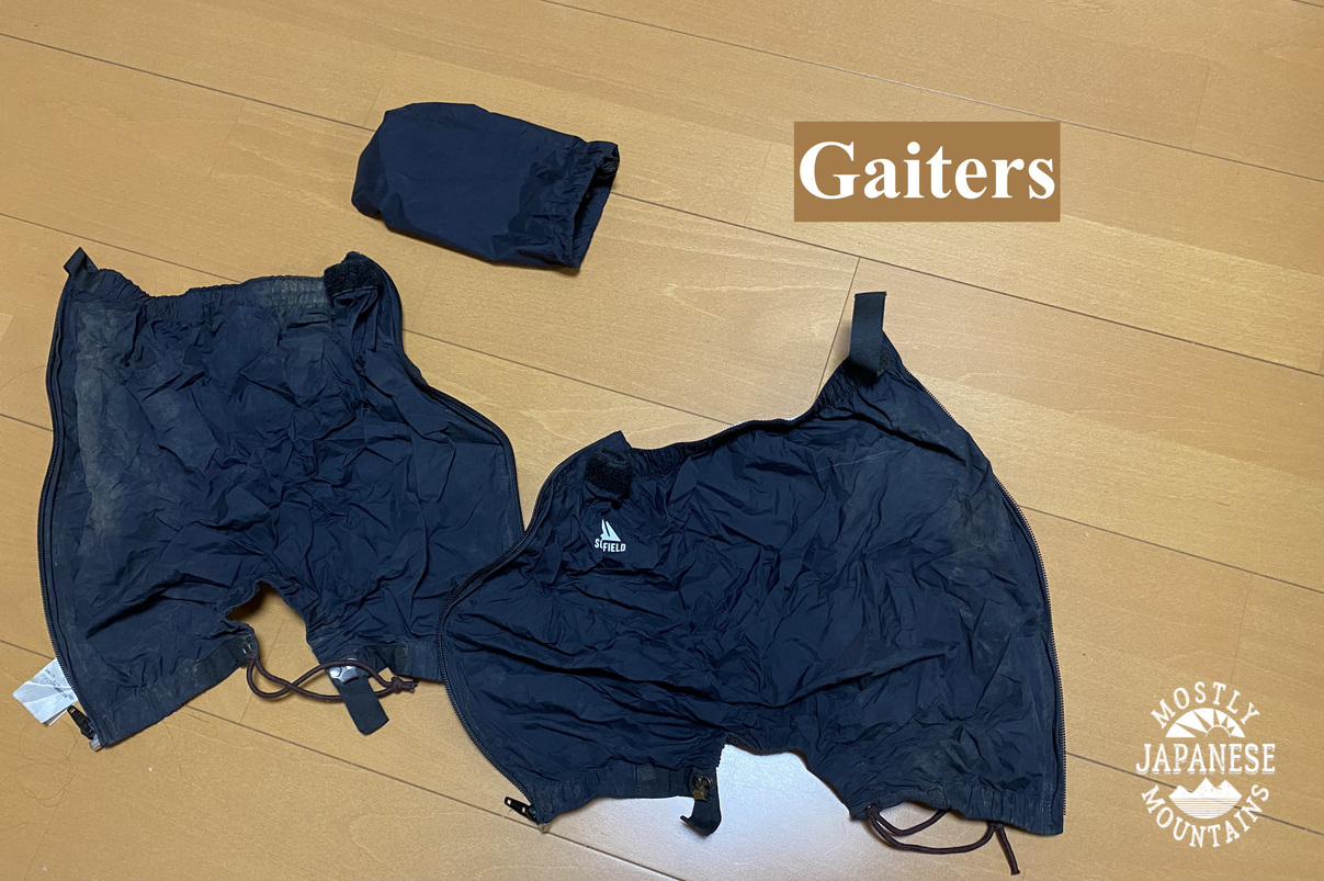
Sometimes necessary. I'm not a fan of wearing them, though.
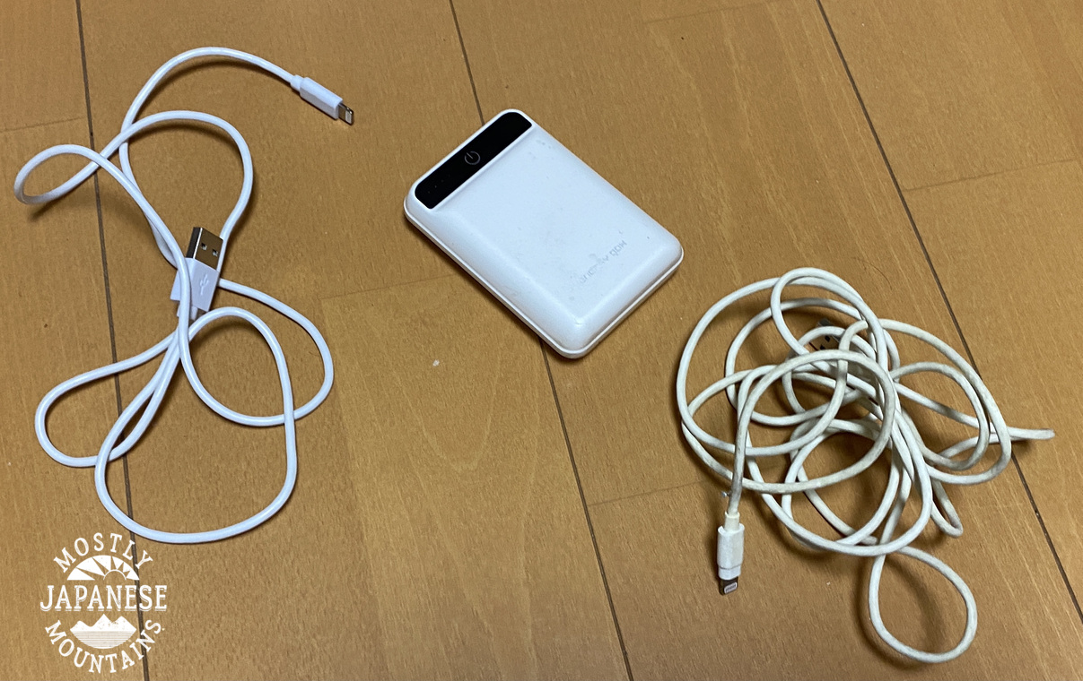
My iphone would run out without a battery pack. You may be asking why I have two cords. I was hiking with the battery pack in one pocket and my smartphone in another pocket when I snagged the cord on a tree one time and it broke. That's why I have two.
Let me repeat again that it repays to be redundant.
One of the nicest purchases I ever made. I don't think I'm very materialistic, but there are a few possessions I have that I really like. These bins are one of them.
Rarely touched...but always in the pack just in case. Some extra clothes.
I still have two headlamps in my pack from climbing Mt. Fuji with my son this summer.
The green pair is better. BUT, if I leave the batteries in them, they will drain because they tend to get turned on as they get bounced around in the backpack. I keep several extra batteries, too. I've needed the spares in the past and was glad I had them.
Just in case . . .
Something like first aid.
Bug spray, anti-itch lotion, sunscreen, hand creme, bandaids, foot powder.
In the winter I will augment this stuff with some vaseline for my lips.
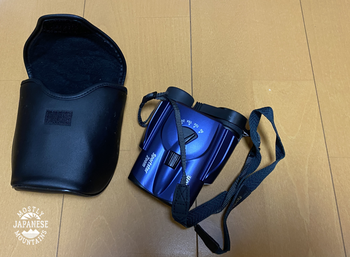
Thankfully, still haven't needed them.
Because knives are cool.
Never touched. It's just in case.
I always have a paper map and a compass. To be honest, I almost never look at them because navigating in the dense terrain of Japan is different than navigating elsewhere. There are so many switchbacks on the trails that using a compass to go in a straight line is out of the question. The micro terrain here is so extreme here that the details just cannot be covered on a paper map. I hate to say it, but I rely an awful lot on my iphone for navigating.
That said, I do use the paper map and the compass when I'm at a vantage point where I can see a few miles to identify the mountains nearby.
(I haven't forgotten how to be an infantryman either. If my iphone died, I would not be lost!)
This map is a Yama to Kogen map (山と高原地図). There are Yama to Kogen maps for all over Japan. They have a lot of details useful for hiking. Hiking trails, average course times, bus routes, bus company contact information, lodging information, etc.
The Yama to Kogen maps are sold online or in bookstores and come in boxes like these. Along with the map, there is a small booklet with information about the area. The Yama to Kogen maps are also available as smartphone apps.
I started carrying this after a particularly bloody and gross hike up Tanzawa in August. Ewww.
The Tanzawa area in Kanagawa has a lot of leeches. The highest mountain in Kanagawa is actually named "Leech Mountain." If you find yourself with a leech, sprinkle some salt on it, and it will fall off. If I hike in that area, I usually sprinkle salt all over my socks and boots when starting out.
Awright, that's what is in my go-bag. I weighed this and it was about 9kg. I was surprised. It doesn't feel that heavy to carry.


No comments:
Post a Comment
Have a comment? Please, keep it clean.