Total Time: 7:48 Break time: :50 Distance: 18.9km/11.7mi
Elevation:Lowest: 958m Highest: 1,717m Total Ascent: 1,630m Total Descent: 1,630m
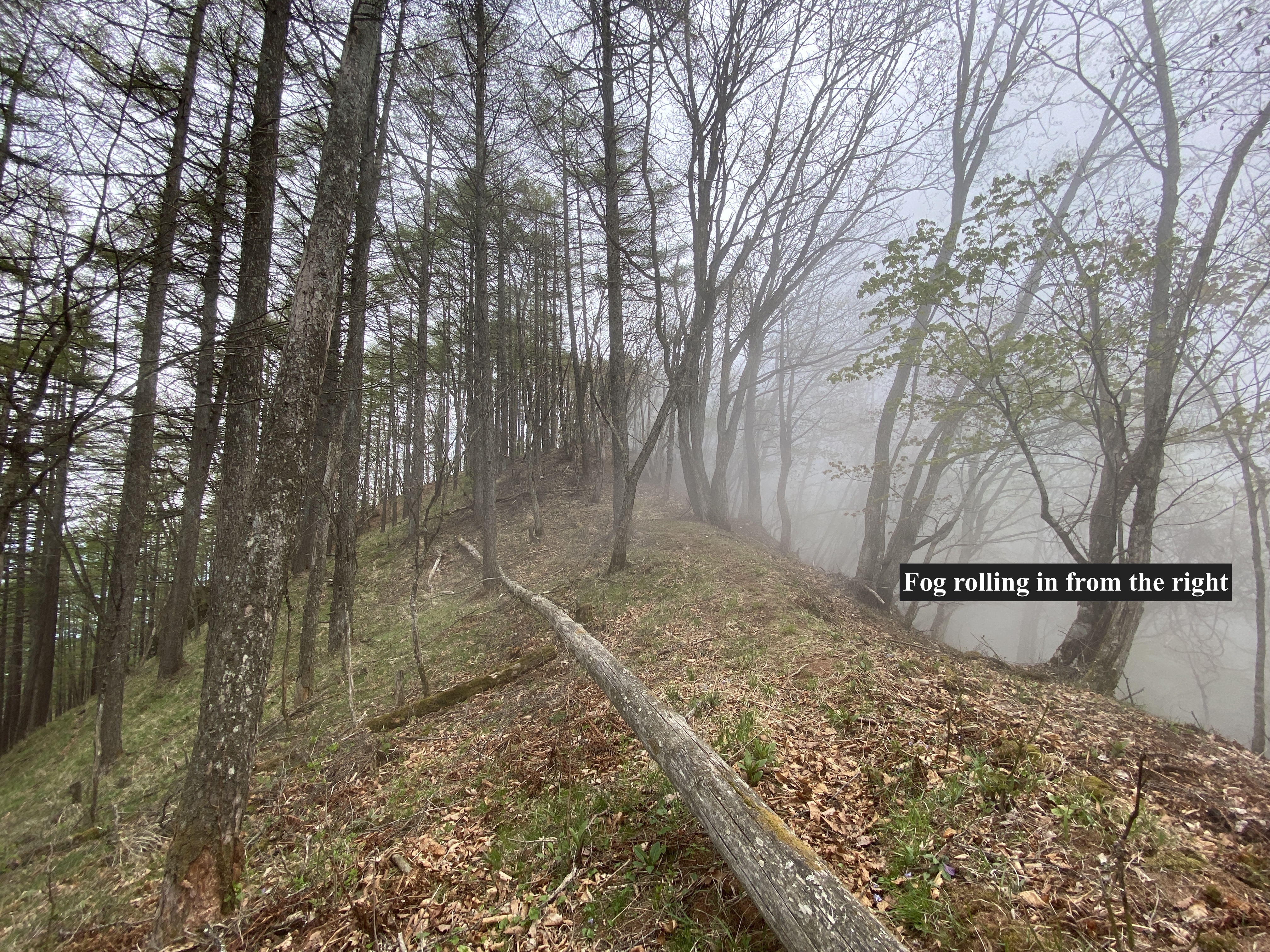
Technical considerations/difficulty: The hike up to the first peak is steep but fairly straightforward. It's very well-marked up to there. There are no chains or ladders. From Mt. Morai to Mt. Yomopara also has no chains or ladders but, as the trail is less-frequented, is hard to follow in many places. It's covered in leaves and there are no signs in some areas. I relied on my GPS at more than one point. Also, this portion of the trail is often on the narrow ridge top. It's quite steep on both sides. This hike is all below the treeline. Because of the nature of the trail, progress was slow.
Facilities: There's a parking lot at the trailhead. The trail follows a stream for quite a while so there is water available.
Thoughts/observations/recommendations:
This was fun. It was not the most breathtaking mountaineering experience but it was still worth it. Though it's not a major mountain it does have some prominence. I noticed it looking out the window from school one day and knew it had to be conquered.
I didn't see one other hiker on this hike. :-)
The trail I took to Mt. Morai is a bit longer than the other options. There are two other trailheads in the area that are closer to the top.
Just off the top of Mt. Morai, at a place with a great view of Yatsugatake, I saw the remains of a campfire and near to that a nice spot for a tent. I'm sure the campfire is frowned upon but it is an attractive site for a wild camping experience.
Since this is not in the league of one of the 100 Famous Mountains or something like that, I'll keep the writing to a minimum and just put up some pictures.
The parking lot. I parked and walked about 1km before I got here. Google maps doesn't have this on its map and the steep road I was on seemed like it was getting a bit too off-roady for my little K-Car ("light car"). I could have made it this far, though.
The trail is very well marked up to the first summit.
The top of Mt. Morai
Mt. Morai has a nice 360 degree view.
Mt. Asama
With binoculars, I could just about pick out my house from here.
You can see the Cosmos Tower (that's a white rocket) in the Inariyama Park in this picture.
JAXA's Deep Space Research Dish
I'm glad I got an early start. Rain was forecast for the afternoon.
I listen to a lot of OTR (Oldtime Radio) podcasts. Nostalgic Mystery Radio consistently has the best sound quality.
I listened to an episode of The Adventures of Philip Marlowe on this hike. Hard-boiled action at its finest. Haha. I love Philip Marlowe. I'm pretty sure he is the character that Phil Hartman modeled his detective character on.
"Crime is a sucker’s road and those who travel it wind up in the gutter, the prison, or the grave."
Well, cavedwellers, I think that's all for today. Thank you for dropping by. Subscribe, leave a comment, etc. OK?
There is parking at the Asama Sanso/Tengu Onsen. JR has a bus that runs to the Asama Tozanguchi on the Cherry Park Line. If you took the bus there, it is still another 4 km up a gravel road before you get to the trailhead at the Asama Sanso/Tengu Onsen.
Lowest: 1,410m Highest: 2,404m Total Ascent: 1,183m Total Descent: 1,183m
Technical considerations/difficulty:
First and foremost, it's important to remember that this is an active volcano and there are usually restrictions on where you can go. Depending on the air quality, you may not even be able to climb it at all. The authorities have 5 levels of caution. 1=no restriction, 2=the fewest restrictions, 3=climbing nearby allowed with more restrictions, 4=local residences are in danger and should prepare for evacuation, 5, Run you fools!
You can check the current levels on this page from Komoro City's web page. It's in Japanese but you can figure out the level by finding something that looks like this near the top of the page:
火口周辺警報(レベル2:火口周辺規制)(令和5年3月23日)
火口周辺警報=caldera area warning
(レベル2:火口周辺規制)=Level 2: restrictions around the caldera
(令和5年3月23日)=Reiwa Year 5, May 23
Other than the volcanic aspects of the hike . . .
As is often the case, it's quite likely that you'll see grandmothers and little kids on these trails. I even saw a large poodle. There is not much in the way of ropes or chains but there are several steep, exposed spots. The ridge is quite high and can be a bit dizzying. Caution is necessary but it's not an especially dangerous place--except for the poison gas, the possibility of the earth exploding beneath you and the occasional falling rocks, of course. For myself, the thing that offers me the most fear is a simple trip and fall scenario.
Facilities:
The onsen is an onsen. If you're into getting naked in front of strangers and sitting in scaldingly hot water, it's the place for you! There is lodging there, too. There is even horse riding. Tengu no spa/Asama Sanso web site Up the trail a bit from there is the 火山の館 ("Kazan no kan"--"Volcano Hall"). There is free water there, a pay toilet and a free rest spot. Make sure you take care of nature's call there. There are no more restrooms for several hours.
Thoughts/observations/recommendations:
What an absolutely perfect day for a hike! We have really lucked out this Golden Week weather-wise. Unfortunately, it looks like Saturday will be cloudy but you can't win them all.
You will notice that I placed an asterisk in the title. Mt. Asama is one of the 100 Meizan but, due to the volcanic situation, I wasn't able to get to the top and tick Mt. Asama off of my list. Drats. Foiled again. I'll have to watch the restriction levels and go back again. I'm glad it's not far away.
Let me show you some pictures.
This billboard is announcing that Mitsui Sumitomo Bank is sponsoring this part of the forest. Often Japanglish makes sense if you know what the original Japanese thought was. The Japanese on this sign says nothing about "cashless" though.
I can't decide if this reminds me more of Willie Wonka's chocolate factory or of toxic industrial waste.
You can see just a bit of smoke coming out of the caldera. We can often see puffs of smoke coming out from down below.
I was able to pick out the JAXA satellite dish with my binoculars from here. Mt. Tateshina is the mountain I'd climbed two days previous to this hike around Mt. Asama.
I took a few hundred pictures yesterday. I am fighting the urge to post them all. There were so many cool things to look at.
Skippy on sour cream and walnut banana bread. I'm pretty sure this sandwich replaced every last calorie I burned on this hike--but man, was it good.
Inside every 50 year old man, there is a 15--or 5 year old boy. I got to scrape my shin twice this week! Some guy on the trail commented "You've injured your leg!" To which I thought, "No, I collected a memento."
Well cave dwellers, that is it for today. I hope to be at it again, soon. Don't forget to subscribe.
Oh, yeah, I almost forgot. I think I will add a new feature to the blog. I usually listen to some podcast or other for part of my hiking time. Usually, it is about history, current events or old-time radio. I think I will highlight one of those podcasts with each post.
Today's podcast: The Bible in a Year podcast with Fr. Mike Schmitz. This podcast/reading plan makes the bible approachable for veterans and neophytes alike. It doesn't just start at page one and go to the last page but handles the books in historical order. This really helps to put things in understandable context--something of major importance when approaching many of the topics. Whether you are Christian, atheist, agnostic, or some other religion, I highly recommend this podcast.