

Location: Nagano Prefecture, Sakuho off Route 299
Starting and stopping point: Forestry Road along the Kirikubo (霧久保沢)
Peaks bagged: Morai (茂来山), Akabaneto (赤羽の頭), Yomohara (四方原山)
Getting there/getting around: There is parking. No public transportation.
Map: The Yama to Kogen Chizu maps don't cover this hike but you can print a map of the area from this site: Where I parked next to the river
Weather Information: Mt. Morai's weather forecast
Total Time: 7:48 Break time: :50 Distance: 18.9km/11.7mi
Elevation: Lowest: 958m Highest: 1,717m Total Ascent: 1,630m Total Descent: 1,630m
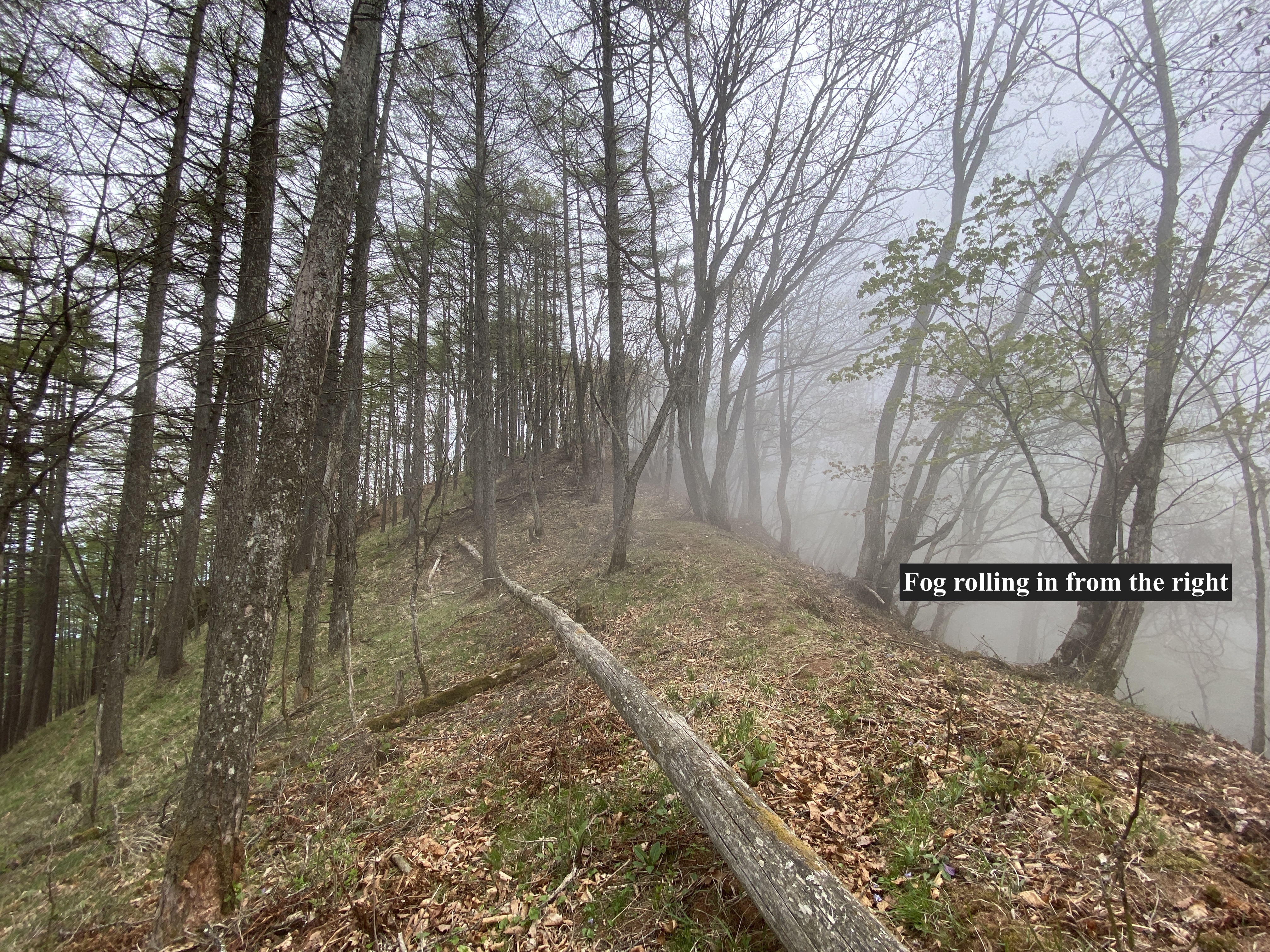
Technical considerations/difficulty: The hike up to the first peak is steep but fairly straightforward. It's very well-marked up to there. There are no chains or ladders. From Mt. Morai to Mt. Yomopara also has no chains or ladders but, as the trail is less-frequented, is hard to follow in many places. It's covered in leaves and there are no signs in some areas. I relied on my GPS at more than one point. Also, this portion of the trail is often on the narrow ridge top. It's quite steep on both sides. This hike is all below the treeline. Because of the nature of the trail, progress was slow.
Facilities: There's a parking lot at the trailhead. The trail follows a stream for quite a while so there is water available.
Thoughts/observations/recommendations:
This was fun. It was not the most breathtaking mountaineering experience but it was still worth it. Though it's not a major mountain it does have some prominence. I noticed it looking out the window from school one day and knew it had to be conquered.
I didn't see one other hiker on this hike. :-)
The trail I took to Mt. Morai is a bit longer than the other options. There are two other trailheads in the area that are closer to the top.
Just off the top of Mt. Morai, at a place with a great view of Yatsugatake, I saw the remains of a campfire and near to that a nice spot for a tent. I'm sure the campfire is frowned upon but it is an attractive site for a wild camping experience.
Since this is not in the league of one of the 100 Famous Mountains or something like that, I'll keep the writing to a minimum and just put up some pictures.


Today's listening:
We Have Ways of Making You Talk
I listened to the first episode on the Battle of Luzon.

It's claim to fame is that it was once climbed by the current emperor. Nice that you were able to do that ridgeline, it seemed fairly sketchy to me! I did the traverse from the other side (on my blog if you're interested).
ReplyDeleteI saw that about the emperor when I was researching the name of Morai. I know he was chasing the 100 Famous Mountains. I wonder how many he did.
DeleteI think we took the same trail--at least at the beginning. The gravel road paralleling the stream (Kirikubosawa, I think) sounds like the same one I drove up. I also passed the Giant Tree (こぶの太郎).
I didn't see any inoshishi though. Where were they? Did you come down a different route?
Apparently more than half...
ReplyDeleteYes that is the same trail. I took a taxi to the opposite side and then after summiting, went down the trail that ends at the river. The inoshishi are behind a fence belonging to a house a little further on, so you wouldn't have seen them if you were by car (I had to walk all the way back to the station).
You didn't mark your house. I was looking for it in the picture with the arrows :^D
ReplyDelete