Caveman takes a short trip to Hell (Valley) and hitches a ride on a pirate ship. Arrrr mateys. I survived Hakone. Mt. Mikuni, etc.


Owakudani


Location:  

Lake Ashinoko, Hakone

Starting and stopping point:  

Free Parking Lot at the Hakone Bay Boat Pier

Peaks bagged: 

Mikuni~Kurodake

Getting there/getting around:  

Not particularly easy.  Getting there by public transportation takes a while and a few changes.  I rode my scooter.  The boats and ropeways are used by a lot of people.  See here for a run-down Hakone guide

Map:  

Yama to Kogen Chizu #???    Beats me.  I just used my smartphone this trip.  Not the best practice to go without paper but it's kind of hard to get lost next to a giant lake with the largest mountain in the country and the largest ocean in the world as landmarks.

Weather Information:  

Lake Ashinoko Weather

Time

Total Time:   7 hours  Break time:   2 hours,  4minutes

Distance:  

16.6km

Elevation:  

Lowest: 727m Highest: 1,202m Total Ascent: 1,061m  Total Descent: 1,056m

Technical considerations/difficulty:  

Very straightforward hike.  Well-maintained trails.  No chains or ladders.  It's Japan so there are steep spots that will get your blood pumping but nothing dangerous.

Facilities:  

The trail I took parallels a road and there is a michi no eki on the way.  Public restrooms are located here and there.  

When you get to Owakudani and the area where the boat passes, there are all the tourist amenities you could wish for.

Thoughts/observations/recommendations: 

This is a really, really nice area.  The volocanic activity in the area make for more hot springs than you can shake a stick at.  The accommodations are really world class, the scenery is wonderful and there is historical (the checkpoint of the old Tokai road to Edo in the feudal era) as well as contemporary (ekiden popular relay race) significance.  The only drawback is the distance and time necessary.  The time it takes to travel there makes Hakone a stretch for a day trip.  It can be done, but it would be better to overnight.  The shekels necessary for a trip like that really add up, though.  First, there is the expense of getting there, then of staying somewhere, then for getting around there on the ropeways and boats.  Yikes. 

I am sorry, but the Caveman is super busy today.  Mrs. Caveman and I are relocating to a new cave in a few weeks and I need to get moving if we're going to move.  I will probably not make this a terribly detailed post in order to save time.  I just wanted to make anyone interested in hiking around the lake aware of what I did as a plan.  If you're interested in the area, you can contact me or ask the google machine.


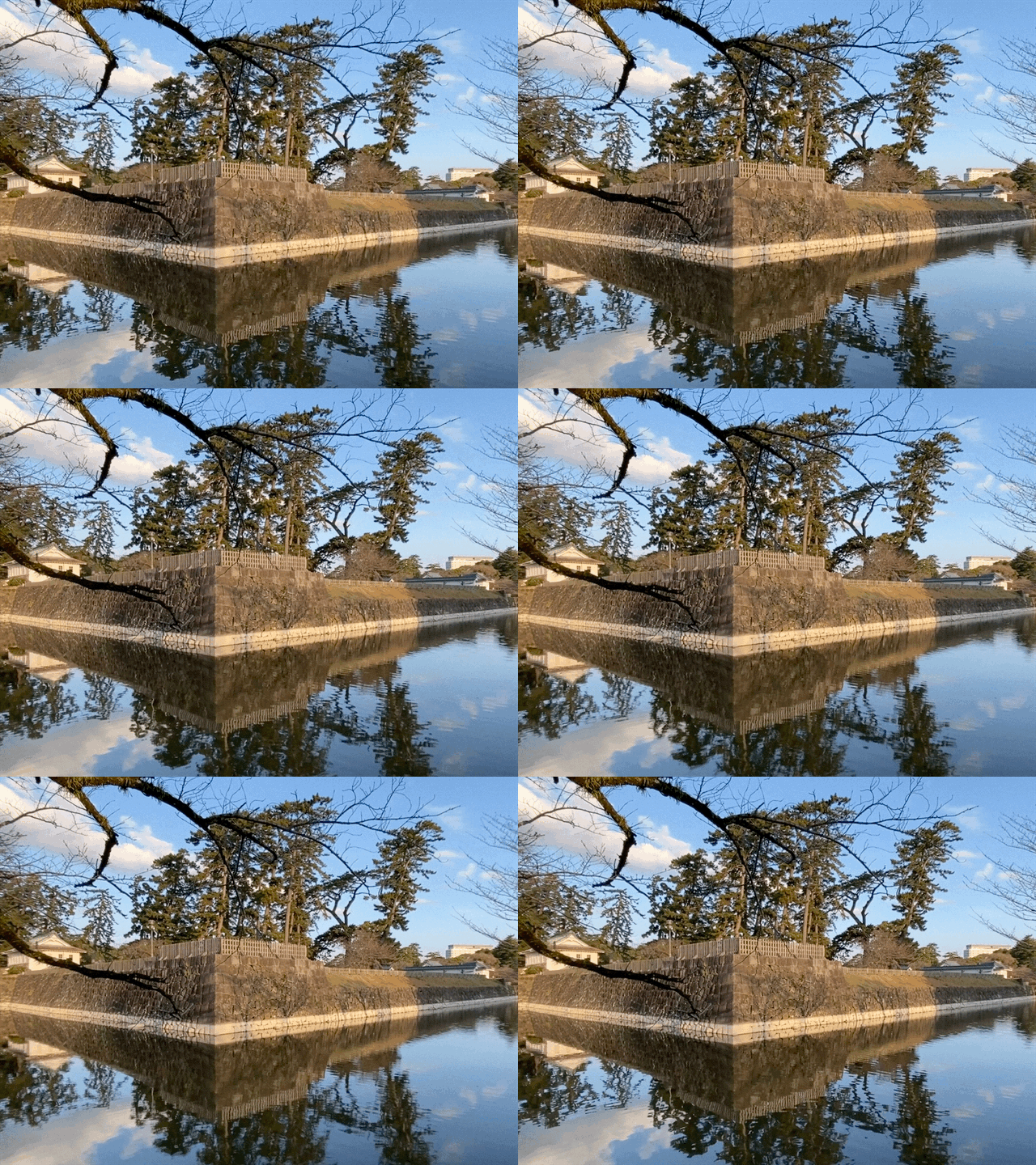
On the way to Hakone, I passed through Odawara and dropped by the Odawara Castle.
Odawara Castle


Odawara Castle 2

Odawara Castle  moat


I was on the trail by 8.


The Minami Alps in the background on the left.

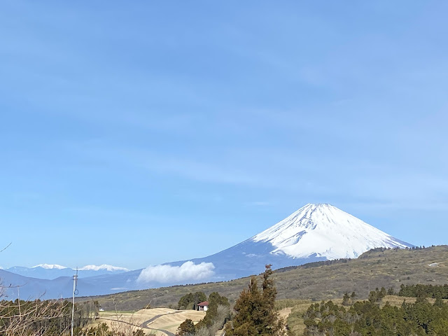
Fuji from Hakone

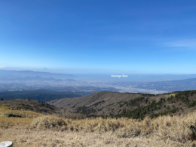
Suruga Bay from Hakone


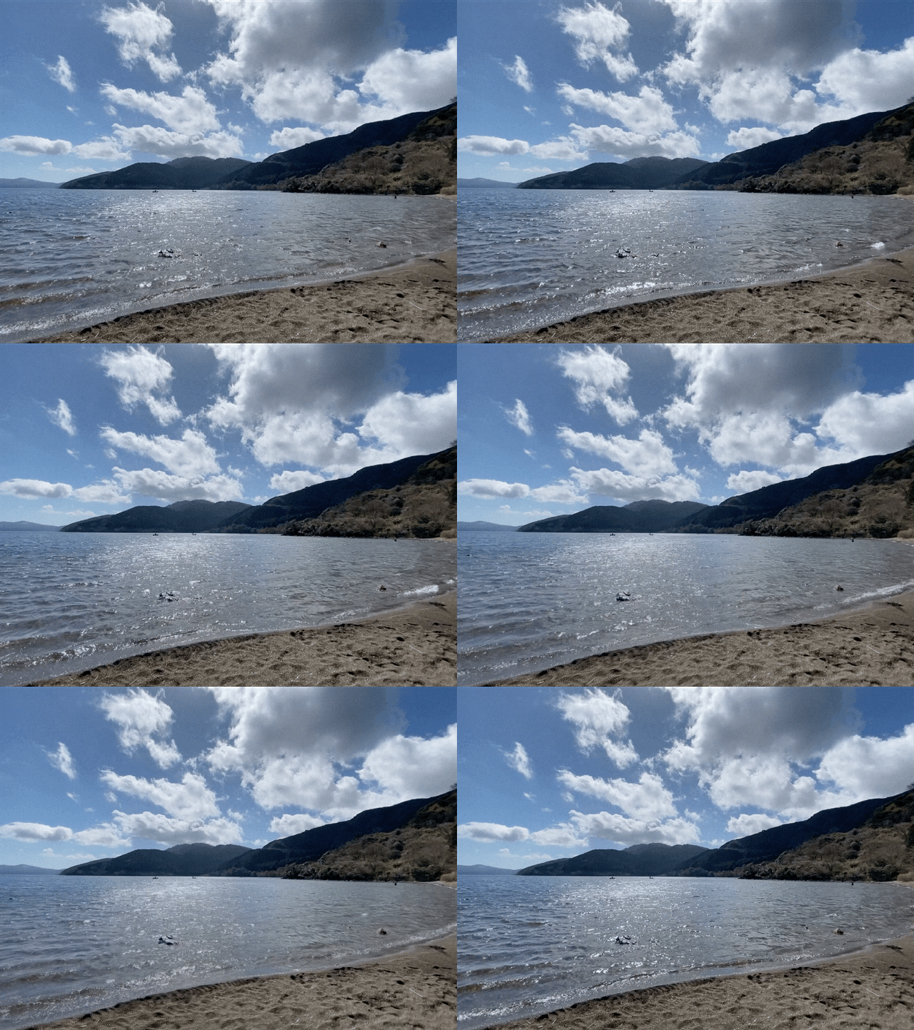
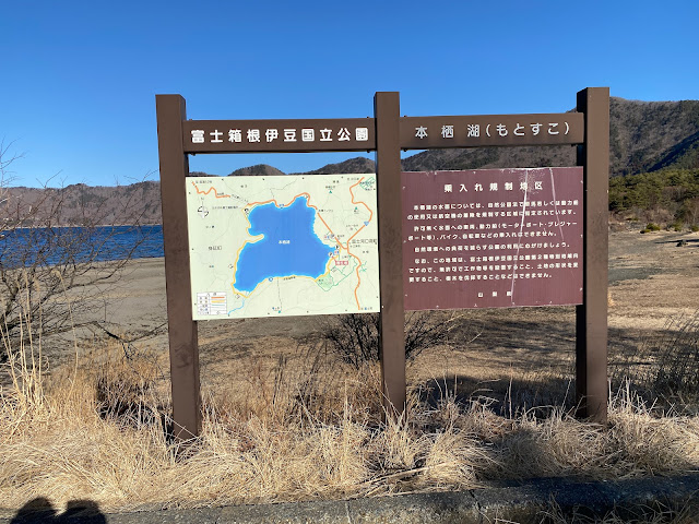
Ashinoko


Ashinoko

I had lunch by the lake.

Ashinoko

My plan was to hike all the way up to Owakudani.  I was really unhappy to find the trails closed from halfway up.  I had to take the ropeway.  The prices nearly put me off.  The caveman is a cheapskate and likes to walk.


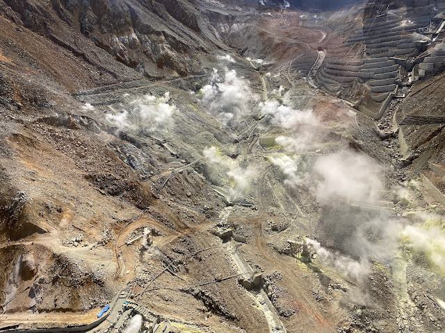
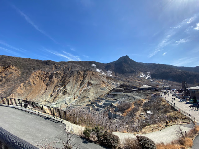
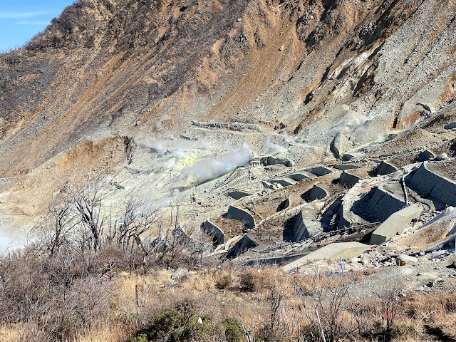
Owakudani is cool!  The sulfur smell was strong at times.

Owakudani sulfur

Owakudani 2

Owakudani 3

Owakudani4


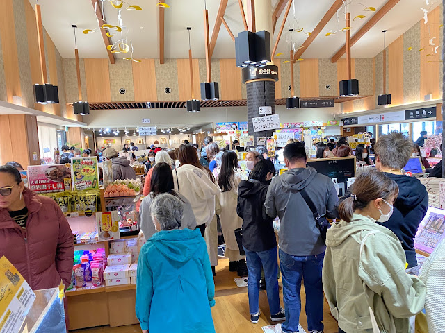
This picture doesn't really give a sense of how packed the souvenir shops were.  There were a ton of people at Owakudani; many if not most of them foreigners.  It sounded like the U.N. up there.  For me, after a nice bucolic morning in the woods it was sensory overload.  I wanted to get back into my cave.

Owakudani Souvenir shops

The most popular item for sale is black eggs.  Owakudani black eggs  Those are eggs boiled in water with a content of sulfur and iron.

The guy selling black eggs in this picture reminded me of a famous episode of Seinfeld.  I think of this guy as the "Egg Nazi".  All he does is sell eggs.  Someone brought another souvenir to his register hoping to purchase it and was told, "No souvenir.  Only eggs here!"


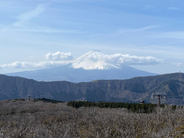
Fuji from Owakudani


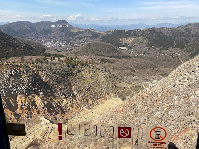
This was taken from the ropeway.  Mt. Kintoki is a mountain I did on another trip last July.  I highly recommend it.
Kintoki from the Owakudani Ropeway


From the boat back to where my bike was parked.

boat ride on Ashinoko

boat ride on Ashinoko2


OK.  That's it.  Thanks for dropping by the cave.  I don't know when I'll be blogging again, but I will sometime.  The little woman and I are moving to the mountains!

Want to see the place where the legendary Kintaro was born? Mt. Kintoki
How about another 100 Famous Mountain in the Fuji Hakone Izu National Park?  Mt. Amagi
Still more of this national park?  Mt. Ashitaka

That's all for today.

Caveman out


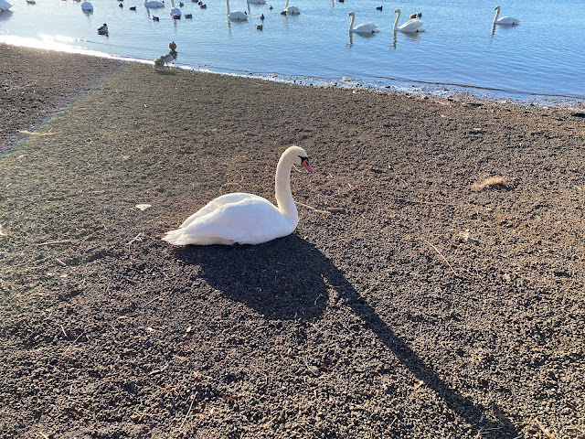
From the elegance of Swans to the fierceness of dragons, Fuji Five Lakes has got it all! Lake Motosuko loop.

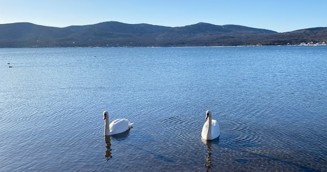
Yamanakako Swans

Motosuko Dragon

Motosuko Loop


Yesterday I headed out to Lake Motosuko, the western-most of the Fuji Five Lakes.  Enroute, I passed by Lake Yamanaka.  That's where I met the swans.  
When I got to Lake Motosu, the first mountain I climbed is called 龍ヶ岳 "Ryugatake"--"Dragon Peak".   That mountain is as cool as its name.  I'll put more pictures of the swans at the end of this post.

Location:  Lake Motosu, Kawaguchiko, Yamanashi

Starting and stopping point:  Motosuko Parking Lot

Peaks bagged:  Ryugatake  Nakanokura   Panoramadai   Eboshidake    Shiroyama

Getting there/getting around:  

I drove.  There are buses from Kawaguchiko Station in the east and from Fujinomiya Station in the south.  It's not convenient for a day trip from Tokyo by public transportation.  

Map:  Yama to Kogen Chizu 32 FUJI-SAN MISAKA・ASHITAKA-YAMA 富士山 御坂・愛鷹山

Weather Information:  Weather on Mt. Ryugatake

Time and distance

Total Time:  7 h 21 min   Break time:   30 min

Distance:  19.2km

Elevation:  Lowest: 901m Highest: 1,481m Total Ascent: 1,420m Total Descent: 1,422m

Technical considerations/difficulty:  

Most of it is straightforward.  The last bit between Eboshidake and Shiroyama has some bouldering on a narrow ridge.  There are ropes in a few spots there.  If you're bringing little kids or are easily scared of heights, I'd skip that area.

Facilities:  

Nothing on the trail except for picnic benches on Ryugatake and at the Panoramadai.  There is a great scenic lookout on the northside of the lake.  You can get there from a parking lot below at the Koan Campground (northside) in just a half hour or so of hiking.  Much of the road that goes around the lake is closed off in winter--including the portion passing by the Tent Mura part of the Koan Campground.  On the south side of the lake is the Motosuko Campground.  That campground opens in March.

Thoughts/observations/recommendations: 

Wow!  What a great time of year to do this.  This is my 3rd time up Ryugatake but the views yesterday were far and away the best.  The first time I climbed it last August was so cloudy that I cut my route short and came home early.  Also, since it is so much the off-season, I had the mountains basically to myself.  


Here is what the hike looked like.  I'll put pictures further down.  Fair warning; it is really hard to pare down the pictures from yesterday to a reasonable number!


Motosuko Loop Google Earth


In the morning at Lake Motosu.


Motosuko Submarine


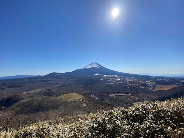
It was difficult to make time.  Fuji was behind me as I climbed in the morning and each step higher, it got better.  It was hard not to keep stopping. 


Fuji from Ryugatake


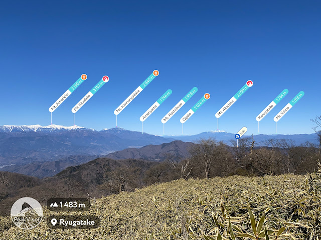
The Minami Alps, home of the 2nd-highest peak in the country, got a fresh coat of white last night.

The grass in the foreground is 笹 "sasa"--bamboo grass.  Mt. Ryugatake has a lot of it.  I'm grateful to the volunteers who come up here and maintain the trails by cutting it back.  It makes for very slow-going when sasa is allowed to cover the trail.


Kitadake is the 2nd highest.  I climbed that and Ainodake last year.  That was a great trip.

Minami Alps from Ryugatake

After I climbed Ryugatake, I descended all the way back down to the lake before going up again.  The trail up to Mt. Nakanokura passes through the Koan Tent Mura Campground  Their English website has good information on access to the area.

Bus stop at the camp ground.  Not many buses go there.


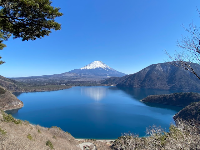
The picture used for the image on the ¥1,000 note was taken near here.

Motosuko and Mt. Fuji, the view on the old ¥1,000 note

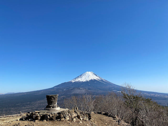
The next few pictures are from the Panoramadai.  I was there just 4 days previously.  Both days were blessed with great views.  I had this spot to myself yesterday.  :-)


Fuji from Motosuko Panoramadai


Last week's trek, and yesterday's were links in the chain of hiking all along the Fuji Five Lakes.  With yesterday's hike, I completed the western four.  I still need to link up with Lake Ashinoko in the east.  That will take a while to complete that leg.


After passing the ruins of the Motosu Castle, I got down to the lake.

Motosuko


Fuji Behind Motosuko


That's all from the cave for today.  I'll leave you with some more swans.  Subscribe.  Comment.  Have a nice day.  Come again.