Motosuko Loop
Location: Lake Motosu, Kawaguchiko, Yamanashi
Starting and stopping point: Motosuko Parking Lot
Peaks bagged: Ryugatake Nakanokura Panoramadai Eboshidake Shiroyama
Getting there/getting around:
I drove. There are buses from Kawaguchiko Station in the east and from Fujinomiya Station in the south. It's not convenient for a day trip from Tokyo by public transportation.
Map: Yama to Kogen Chizu 32 FUJI-SAN MISAKA・ASHITAKA-YAMA 富士山 御坂・愛鷹山
Weather Information: Weather on Mt. Ryugatake
Time and distance
Total Time: 7 h 21 min Break time: 30 min
Distance: 19.2km
Elevation: Lowest: 901m Highest: 1,481m Total Ascent: 1,420m Total Descent: 1,422m
Technical considerations/difficulty:
Most of it is straightforward. The last bit between Eboshidake and Shiroyama has some bouldering on a narrow ridge. There are ropes in a few spots there. If you're bringing little kids or are easily scared of heights, I'd skip that area.
Facilities:
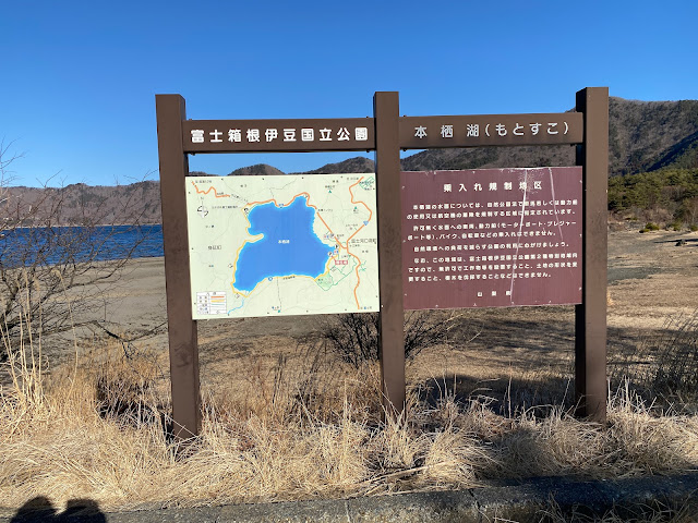
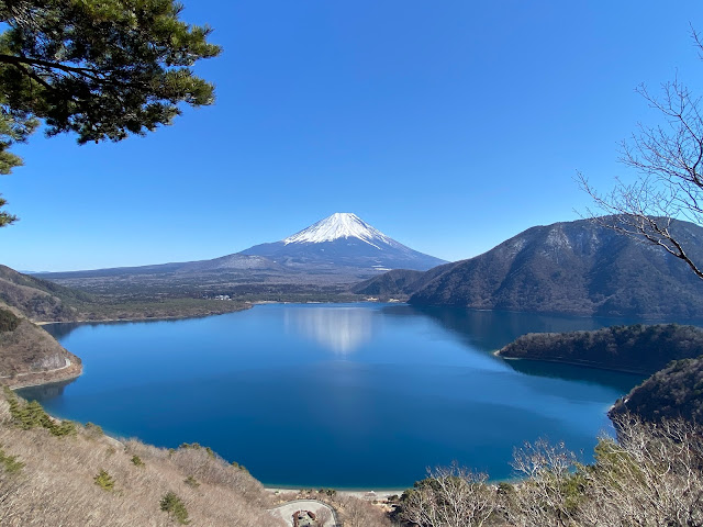
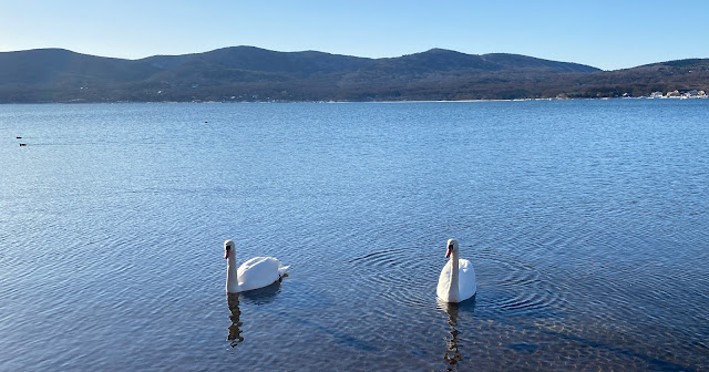
Nothing on the trail except for picnic benches on Ryugatake and at the Panoramadai. There is a great scenic lookout on the northside of the lake. You can get there from a parking lot below at the Koan Campground (northside) in just a half hour or so of hiking. Much of the road that goes around the lake is closed off in winter--including the portion passing by the Tent Mura part of the Koan Campground. On the south side of the lake is the Motosuko Campground. That campground opens in March.
Thoughts/observations/recommendations:
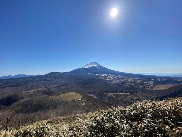
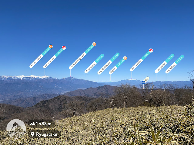
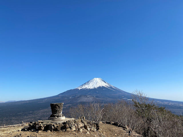
Wow! What a great time of year to do this. This is my 3rd time up Ryugatake but the views yesterday were far and away the best. The first time I climbed it last August was so cloudy that I cut my route short and came home early. Also, since it is so much the off-season, I had the mountains basically to myself.
Here is what the hike looked like. I'll put pictures further down. Fair warning; it is really hard to pare down the pictures from yesterday to a reasonable number!


