Mts Ryugatake and Omuro. Dayhikes from 2 of the Fuji 5 Lakes.
Welcome to my cave.
First time around Lake Motosu and Lake Shoji
Yesterday was my first venture to the area around Lake Motosu and Lake Shoji. Those are the two most western of the Fuji 5 Lakes. I've hiked around most areas of the other three lakes. In my never-ending quest to connect the dots of my hikes, I have a few loose ends to tie up around Kawaguchi and Saiko Lakes and I'm looking forward to spending more time in this particular area.
Yesterday's plan was to climb Ryugatake (Dragon Mountain) and Kenashi (Hairless Mountain) from Lake Motosu. I stopped at Ryugatake because there was just nothing to see. Clouds obscured everything and I decided to call it a day with an eye to returning at a later date so that I could catch the views.
Upon descending to my bike, I decided to ride around the lake and then look into visiting some of the caves or other tourist spots in the area before heading home. By the time I'd ridden around the lake, the weather had broken enough that hiking seemed like an option for the afternoon. I decided to head toward Mt. Omuro--the mountaintop with the nearest unobscured view of Fuji from its west side.
Here's a map of both hikes. Please note that it is oriented with north at the bottom of the picture. I'll put more details about the hikes at the end of the post.
The day started out beautifully. The weather was great on the 3-hour ride from my home.
I reached Lake Motosu around 7:45. It's a nice lake. Each of the 5 lakes has a different vibe.
This lake is absolutely surrounded by campgrounds--in distinction to the other lakes which are surrounded by cafes, hotels or other more upscale tourist attractions.
The lake itself is different, too. There are a lot of SUPs, kayaks and sailboards on Lake Motosu. I really like the atmosphere around this lake. I think camping here would be fun.
For my hike up to Ryugatake, I started at the lake and reached the top in about an hour and a half, if I recall. The weather and visibility were great--until I reached the altitude where I might see something!
I'm sure it would be a spectacular view of Mt. Fuji . . .
The bamboo grass (笹, "sasa") was quite thick. It's not that much of a nuisance but it is concerning that snakes might be hiding in it.
Sometimes it can be dangerous if the sasa is concealing a hole or something to trip over.
This is one of the few times I've ever turned back for a reason other than danger. I got here and felt "What's the use?"
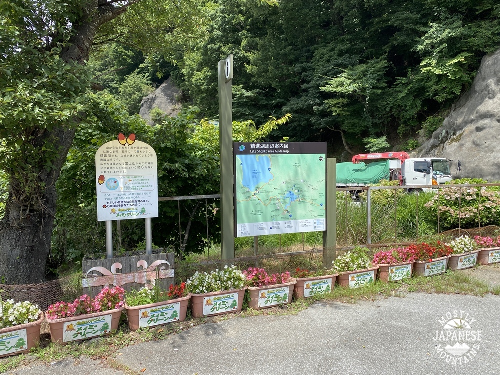
On to Lake Shoji, the starting point for the next trek. This is at the parking lot of the Akaike Restaurant.
This is the actual trailhead. I could have parked here but didn't know where the trailhead was until I hunted around a bit. I didn't realize that this is the starting point for a trail up to Mt. Fuji. This trail meets up with the Yoshida Trail at the 5th Station.
For the first several miles, the trail could accommodate vehicular traffic. Pretty easy walking.
Pictures don't capture how green this area is.
The Aokigahara Forest is famous for an unfortunate reason which I won't go into. I will say this--it's a beautiful, well-maintained forest. I bumped into several happy and healthy groups of hikers and two groups touring the caves.
On the way, I dropped by the Wind Caves. A tourguide gave me the lowdown. Would you believe he told me, your caveman, I couldn't go in because I didn't have permission? I almost said to him, "Do you know who I am?" But, seriously, even the caveman can't go in there without permission and you need a helmet and headlamp.
The south peak of Mt. Omuro. According to YAMAP, this is my 600th peak.
The view from just off the south peak of Mt. Omuro.
I took the next few pictures looking down and this area from Mt. Fuji last August. That dark cone is Fuji's shadow. Isn't that cool? I wonder what effect that shadow might have on property values in that area.
This was taken from the road.
Observations, etc.
Getting there/around: I took my bike. A car or bike makes one of these hikes possible in a (long) day. There are buses from Kawaguchiko Station. Taking the bus would leave only a 6-hour window to be in the area if you go just for one day. It's the blue line that goes to Motosu. Fujikyu Bus Info
Ryugatake hike: 7.2km. 3 hours. 600 meters up, 600 meters down. If I had gone on to Mt. Kenashi, it would have been 16.5km. Not too strenuous.
Omuro hike: 15.4km. 4 hours, 20 minutes. 619 meters up, 619 meters down. Much of it is paved. Don't stop at the first peak. The view is from the second peak. Mt. Omuro is off the path which goes to Fuji. Make sure you are good with a map.
That's it for today! Keep your fingers crossed for good weather. I'm hoping to get out again this week.


No comments:
Post a Comment
Have a comment? Please, keep it clean.