Golden Week 2024 Saku Balloon Festival
 I'm the caveman. My mancave is the mountains. Google dislikes me so nobody can find my blog. I keep doing it though, because I want to remember all the great places I've been able to see and I have a bad memory.
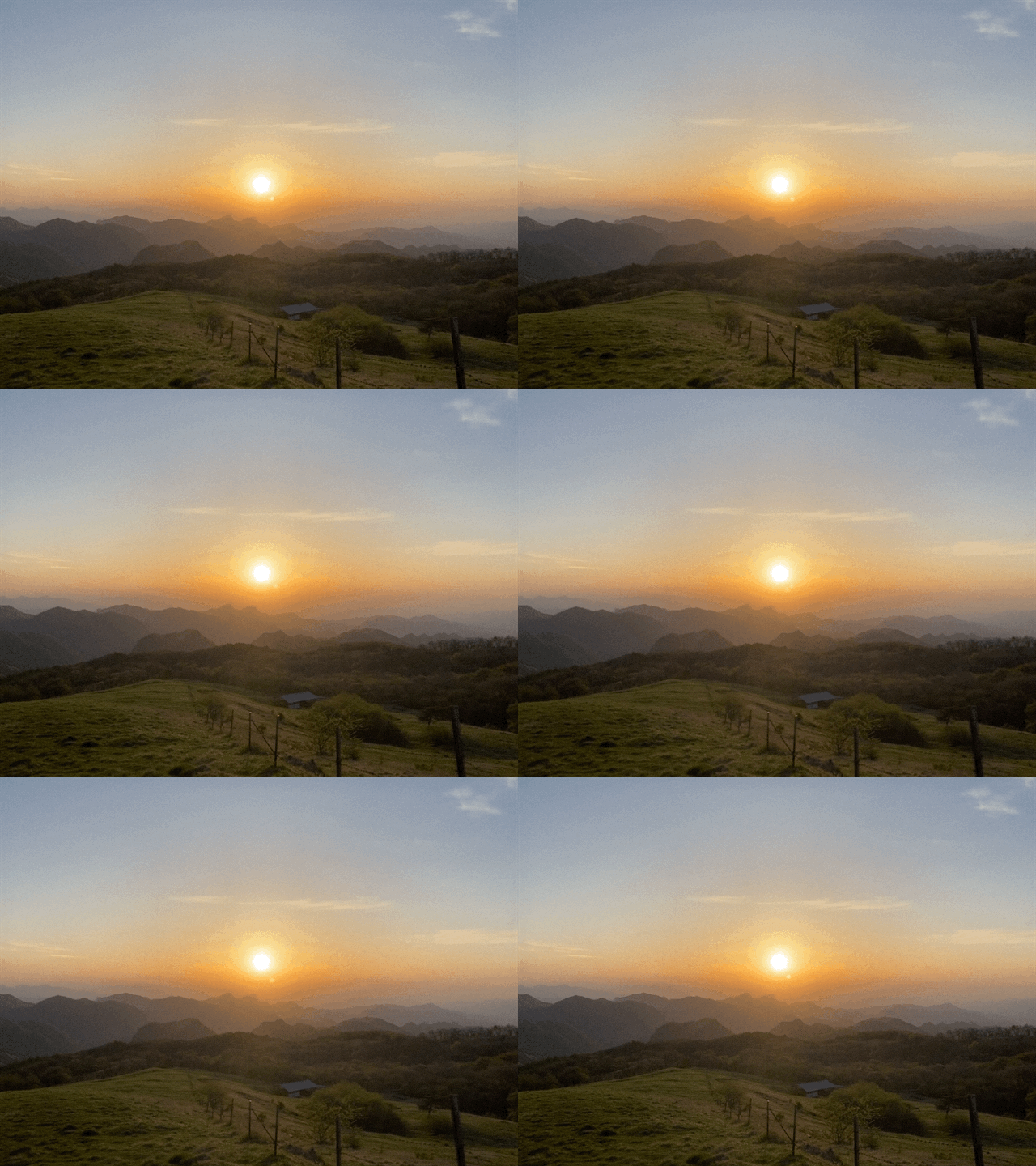
Sunrise from Mt. Monomi. 物見山の日の出
Location: Mt. Monomi 物見山
Starting and stopping point: Uchiyama Bokujo Campground
Peaks bagged: Mt. Monomi (物見山)
(First-time) peaks XX
Getting there/getting around: My trusted car
Map: Yama to Kogen Chizu #21 西上州 妙義山・荒船山
Weather Information: Mt. Monomi's weather
Total Time: 1:49 Break time: :42 Distance: 5.81km
Elevation: Lowest: 1,228m Highest: 1,373m Total Ascent: 355m Total Descent: 355m
Technical considerations/difficulty: A lot of this is runnable.
Facilities: There is a public restroom and a free parking lot by the campground. Arafune Panorama Campfield
Thoughts/observations/recommendations: There are a lot of deer in this area. The trail runs beside a cow pasture. I've never seen cows there myself, but have seen pictures.
Here are links to a few other trips I've made to Monomi.
https://mymancaveisthemountains.blogspot.com/2024/01/the-year-of-dragon-is-upon-us-monomi.html
https://mymancaveisthemountains.blogspot.com/2023/10/mt-monomi-around-sunset.html
No comments today. Just look at the videos.
 I'm the caveman. My mancave is the mountains. Google dislikes me so nobody can find my blog. I keep doing it though, because I want to remember all the great places I've been able to see and I have a bad memory.
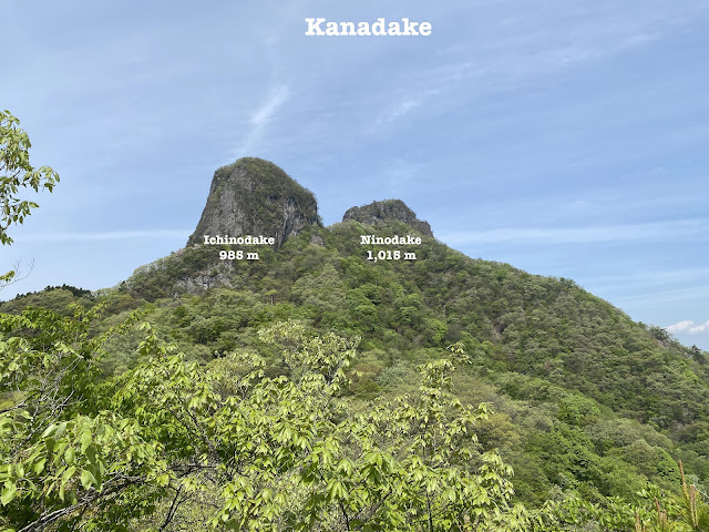
Kanadake and Yotsumatayama
What's up, cavepeeps? Allow me to show you some pics of a hike in the Shimonita and Nanmoku area of Gunma.
Starting and stopping point: Road Station Oasis Nanmoku, Gunma
Peaks bagged: Kanadake ichinodake (鹿岳一ノ岳) ~ Kanadake ninodake(鹿岳二ノ岳) ~ Yotsumata (四ツ又山)
(First-time) peaks # 883, 884 and 885
Getting there/getting around: I drove. I parked at the Road Station Oasis. I'm not sure if that's 100% kosher but I got there before it was opened and nobody complained when I left. There some free parking spaces near most of the different trailheads. There are some buses running in the area. I can't find any information other than what's on the map--that there are between 4 and 9 buses running daily from Shimonita Station to 小沢 Ozawa.
Map: 西上州 21 妙義山・荒船山
Weather Information: Kanadake's weather forecast
Total Time: 5:24 Break time: :39 Distance: 12.4 km
Elevation: Lowest: 303 m Highest: 1,015 m Total Ascent: 1,062 m Total Descent: 1,062 m
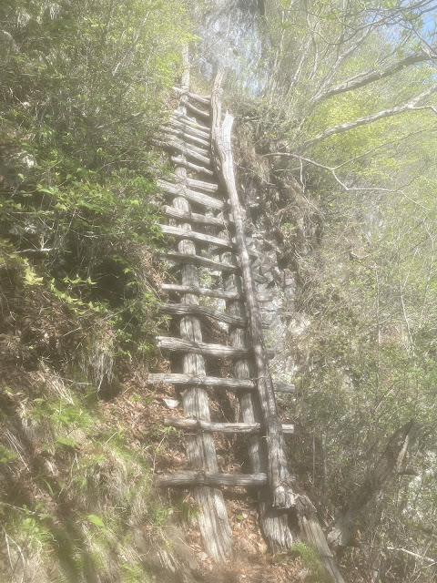
Technical considerations/difficulty: There are a lot of ropes, ladders and chains. Upper-body strength is a must. There are more than a few points where you need to walk on top of a very narrow, steep ridge. The assaults on the two Kanadake peaks are a bit dizzying.
Facilities: There are a few waterholes on the trail. There are public restrooms near one or two of the parking lots. None on the trail.
Thoughts/observations/recommendations: These mountains proved to me again that mountains don't need to be that high to demand or to wear you out. I've noticed that some of the most rugged mountains I've been on are in Gunma and Saitama at elevations that aren't so high. The highest point I reached yesterday was only about 300 meters higher than the elevation where my house is but my ankles feel today similar to how they do after climbing Mt. Fuji. It's not a surprise. Climbing Fuji from the 5th Station on the Fujinomiya route means ascending about 1,600 meters. Yesterday, with all the ups and downs, I ascended about 1,000 meters.
The dizzying stuff was on Kanadake. Most hikers seem to opt only for hiking to Mt. Yotsumata; a shorter and less fear-inducing voyage.
Without further ado . . .
 I'm the caveman. My mancave is the mountains. Google dislikes me so nobody can find my blog. I keep doing it though, because I want to remember all the great places I've been able to see and I have a bad memory.
Of frigid wives, faithful husbands and virgins of various types. Karuizawa's Mt. Hanamagari.
Location: Mt. Hanamagari on the line between Gunma and Nagano
Starting and stopping point: Parking spot near the Miharaishidai Public Restroom
Peaks bagged: Mt. Hanamagari (鼻曲山)
(First-time) peaks # 881 and 882
Getting there/getting around: Car. There are 5 free spaces near the Miharashidai. There are a few paid parking lots also. Many people go to the area by taxi.
Map: Yama to Kogen Chizu 19 浅間山軽井沢・長野原の山々ASAMA-YAMA KARUIZAWA-NAGANOHARA-MOUNTAINS
Weather Information: Mt. Hanamagari Weather
Total Time: 4:02 Break time: :15 Distance: 11.6 km
Elevation: Lowest: 1,189 m Highest: 1,655 m Total Ascent: 1,106 m Total Descent: 1,106 m
Technical considerations/difficulty: The trail has a fair amount of ups and downs but isn't terribly difficult. There are no ropes, chains or ladders. The trail isn't marked very well but isn't too difficult to follow as most of it is on a ridge.
Facilities: Nothing on the trail to Hanamagari. The trail that passes the Miharashidai is popular with trail runners. There are a public restroom, a few (seasonal) restaurants, vending machines and parking lots in that area.
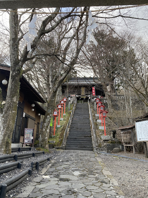
Thoughts/observations/recommendations: The hike to Hanamagari is not the main attraction around here. The shrine and the Miharashidai are more popular.
 I'm the caveman. My mancave is the mountains. Google dislikes me so nobody can find my blog. I keep doing it though, because I want to remember all the great places I've been able to see and I have a bad memory.


