Location:
Starting and stopping point:
Top of the ski lift at Kawaba Ski Area
Peaks bagged:
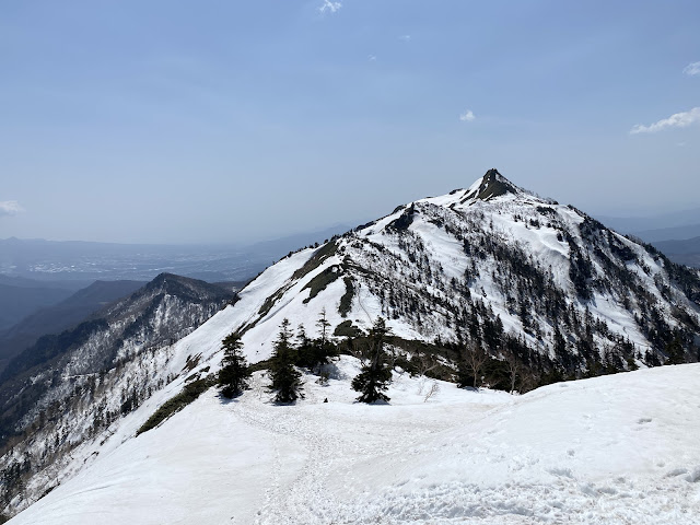
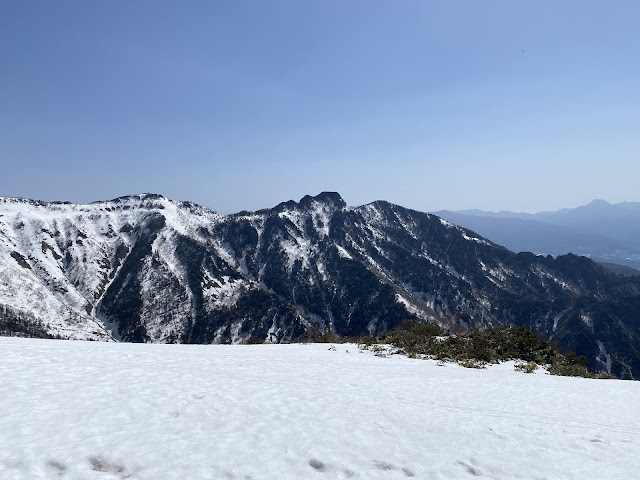
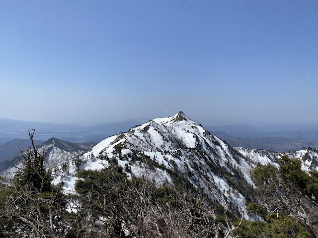
Kengamine (剣ヶ峰) ~ Hotaka (武尊山) ~ Nakanodake (中ノ岳)
(First-time) peaks
# 888, 889 + 890
Getting there/getting around:
I drove. There are many bus tour/train options. Check out the Kawaba Ski Area's information (in Japanese.) Tour Information
Map:
Yama to Kogen Map Try searching for "山と高原地図16TANIGAWA-DAKE 谷川岳 苗場山・武尊山" on Mapple's website if that link goes dead.
Weather Information:
Mt. Hotaka Weather The Kawaba Ski area also has weather information about the suitability for climbing each day. Unfortunately, they post this only on the Japanese side of their website. Click on the bottom right of the screen to the right of "Kawaba Life" where you see "天気情報".
Time
Total Time: 3:56 Break time: :36 Distance: 6.6 km
Elevation
Lowest: 1,847 m Highest: 2,158 m Total Ascent: 670 m Total Descent: 670 m
Technical considerations/difficulty:
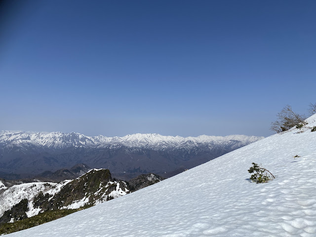
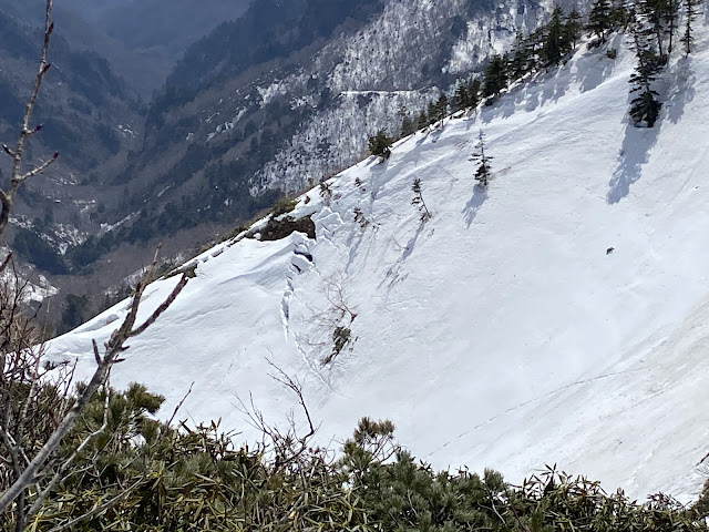
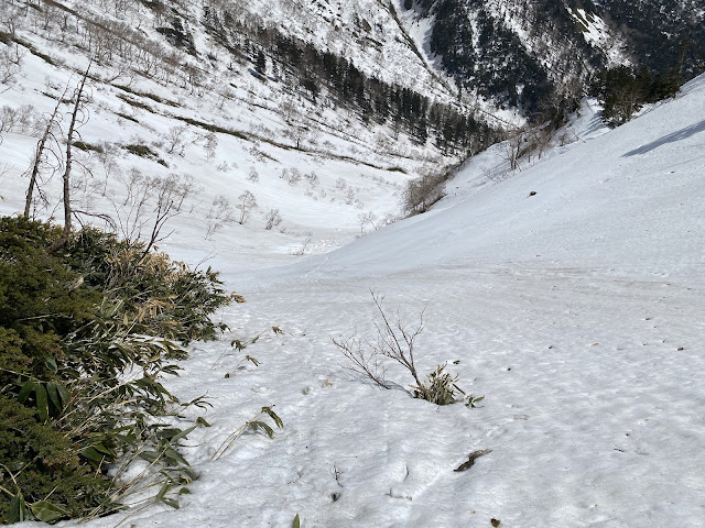
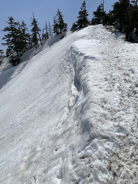
During the winter, you need spikes, and depending on the conditions, an ice axe or poles and maybe snow shoes. I wore just crampons yesterday and was fine. I did kind of wish I had an axe but not that often.
Facilities:
There is nothing on the trail. The ski area, of course, has a lot of restaurants and shops. The ski lift starts operating at 8:30 and the last chair down leaves at 3:30. The ski area is open from December to April. For hikers, the lift (in 2024) is ¥1,200 each way.
The lift opens at 8:30, but if you want to get on it right at that time, be a little early. The ski area requires you to fill out and submit a paper hiking plan and to rent a Cocoheri, if you don't have one already.
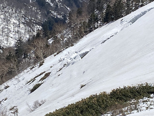
What is Cocoheri you ask? It's a portable safety beacon in case you get in a jam. The name is a play on the words for "here" (coco) and "helicopter" (heri). It's provided by a outdoors insurance company called JRO. cocoheri link When I was on the mountain and saw the potential for avalanches, I understood why the ski area demanded that you have a cocoheri with you.
I've carried JRO insurance for years. Unfortunately, all of their paperwork is in Japanese. Legalize is bad enough in English. Seeing as it's Japanese legalize, I really hope I never have to put in a claim!
Thoughts/observations/recommendations:
I'm not usually a fan of using ski lifts or the like when hiking. It feels like cheating and makes what I want to be a cheap hobby cost money. Time available and weather conditions determined that the ski lift was the only possibility to knock this mountain off the list during this season.
Setagaya Healthy Village




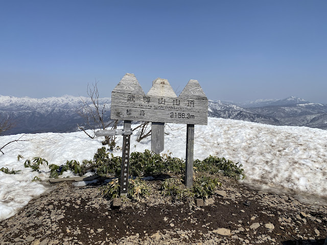


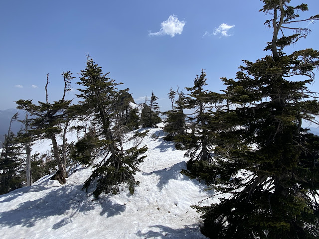
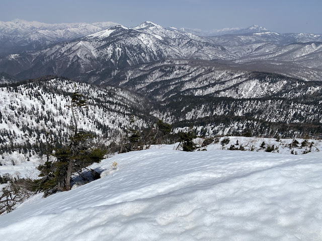


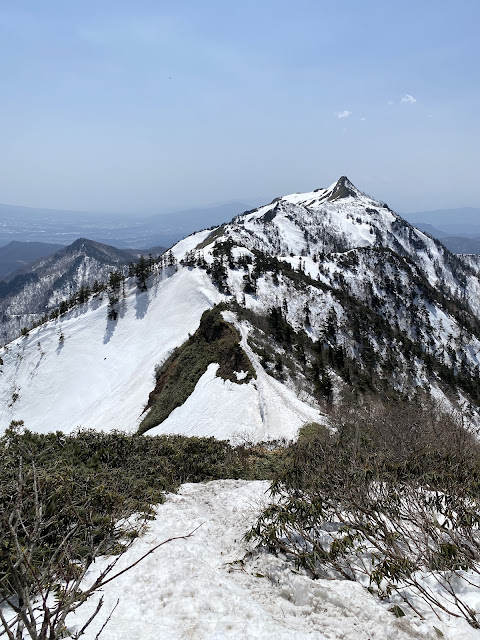


It's a shame you had to use the ski lift. Hotaka-yama seems to fly below the radar and is a tough climb starting out from Hotaka-jinja, with a 1000-metre elevation gain. It's good to hear that they require everyone to carry a Cocoheli transmitter.
ReplyDeleteHi David, Thanks for the thoughts. I have had this mountain in mind since the fall and have been wavering about how to approach it. I really wanted to do it from lower down, but wasn't sure if I could do that in the snow in the timeframe available. I'll probably go back during a green season some year. It is a great mountain. It was really lovely to be on top, in the snow, with spring birds chirping away. I would like to do it in the middle of the winter sometime as well, though.
ReplyDeleteHave a good one!