. . . about Echigo Komagatake
is in the Koshinetsu (甲信越) Region. This mountain is 2,003 meters and is in the middle of the Echigo Mountain Range which spans Gunma, Fukushima and Niigata Prefecture. Along with Nakanodake and Mt. Hakkai it makes up the three great mountains of Echigo, the former name for the area.
This mountain's weather pattern is such that it gets a lot of snow from Siberia and the snow melt is the source of many rivers, irrigation and hydroelectricity.
It's hot in the summer but gets 3~4 meters of snow in winter. Wikipedia tells me to be careful of hyperthermia in summer.
It can be hiked in a day if you start in the morning.
Area:
Koshinetsu (甲信越) Region in Niigata Prefecture
Location:
Map: ***If you want a link to the latest Yama to Kogen map, comment and I'll get you a link. This link is to a printable topo map.
Starting and stopping point:
Peaks bagged:
Mt. Michiyuki (道行山) ~ Mt. Ogura (小倉山) ~ Mt. Echigokomagatake (越後駒ヶ岳)
(First-time) peaks # 962~964
100 Famous Mountain # 42 (Mt. Echigokomagatake)
Getting there/getting around:
I drove. It took me about 3 hours to get there from Nagano. It wouldn't take too much longer to drive from Tokyo.
There is a shuttle bus from the Ginzandaira Campground to the Shiori Pass. That campground is serviced by a 60-minute bus ride from Urasa Station. The Minamiechigo Bus Company provides that bus. I believe the same bus company has a bus from Koide Station to the Shiori Pass. The buses only run until the end of October because the road up there is closed from November to June.
Helpful Info
Weather Information:
Echigo Komagatake weather from Tenkura
Time and distance
Total Time: 6:20 Break time: :32 Distance: 15.42 km
Elevation: Lowest: 1,060 m Highest: 2,003 m Total Ascent: 1,331 m Total Descent: 1,331 m
Technical considerations/difficulty:
Make sure you have a headlamp. If you want to see the Takigumo (Cloud Falls) from the trail, you should be well under way before sunrise.
Much of the first half or so of this hike is a pleasant walk in the woods. There are wooden walkways and no ropes, ladders or chains to speak of.
From around Mt. Ogura up to the top of Mt. Echikomagatake, it gets fairly steep and much of the trail is on exposed boulders. It's so exposed that people caution you to be careful not to get hyperthermia in the summer because of the sun. In my case, hiking in the fall as I was, I had to put on a few layers when I got to this area. I typically hike in a t-shirt even when the temp. gets into the high 40s (around 9 degrees C) but found that I needed a long-sleeve shirt and a fleece to protect myself from the wind in that area.
Facilities:
The pass has parking for 50 cars, but it fills up quickly and many cars line the road.
The pass has a toilet.
Below the summit of Echikomagatake is the Komanokoya (Koma Refuge Hut) (Japanese website). There is a biotoilet there and you can stay for ¥2,000. There is no food but when the manager is on site, you can buy beer and pin badges. Pitching a tent there costs ¥500. When I passed by there, it was buttoned up and I didn't see anyone inside.
Thoughts/observations/recommendations:
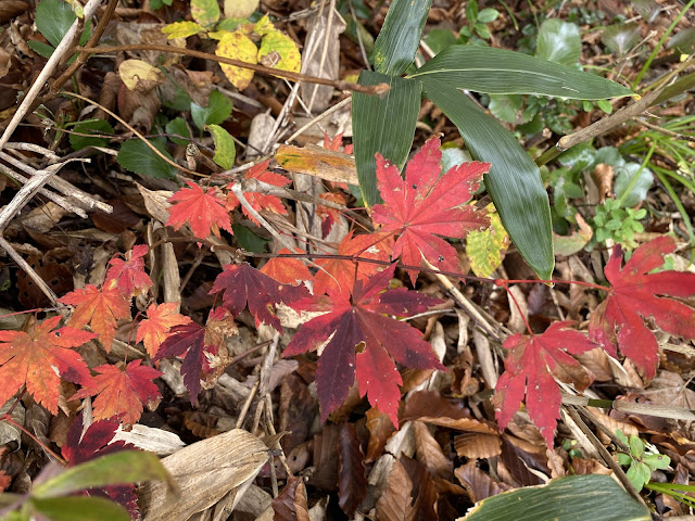
I'm really glad I did this. It was a bit of a whim to go there. The only reason it popped up on my radar is that it was the nearest area without a bad weather forecast on the day I had available. It just happened that I was struck with the idea to go there at the best time possible. There was beautiful fall foliage to be seen at the time and the access road was due to be closed in the next week or so!
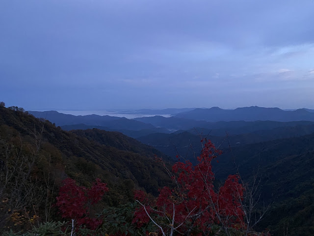
The Takigumo was pretty. The peak and the views from it were great.
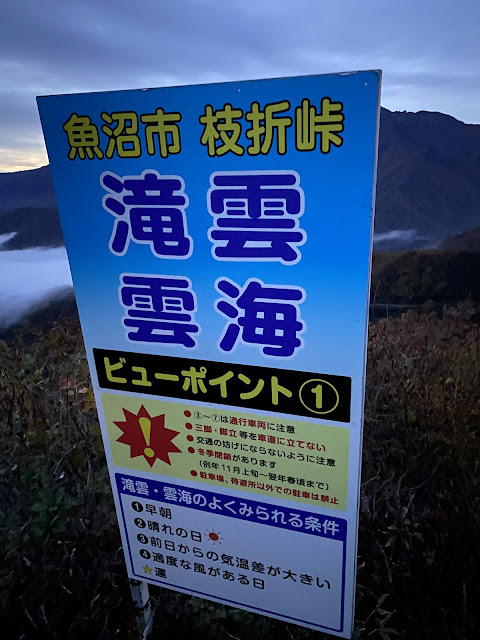
I drove up to Niigata to arrive at the Shiori Pass Parking Lot on Friday night so I could climb it on Saturday morning. I got there at 11:50 pm to find the parking lot was already full! Luckily I was able to pull off in a space on the side of the road a few hundred yards down the road. Much of that road, Route 352, is only one lane so I am glad I could find a spot. Other people arrived throughout the night. You can see the Takigumo (Falls of Cloud) from the pass so many people just drive up there and watch it without hiking.
Here's what the route looked like. I "pistoned" it (up and down the same route) as the Japanese say.
Let's look at some pictures.
I caught some great views of the night sky (since I was sleeping in my car.)
"Uonuma City Shiori Pass
Falls (of) Cloud
Cloud Sea
Viewing Point #1"
Sunrise
Second Floor Winter Entrance to the Komanokoya Emergency Hut
Just a bit more to the top . . .
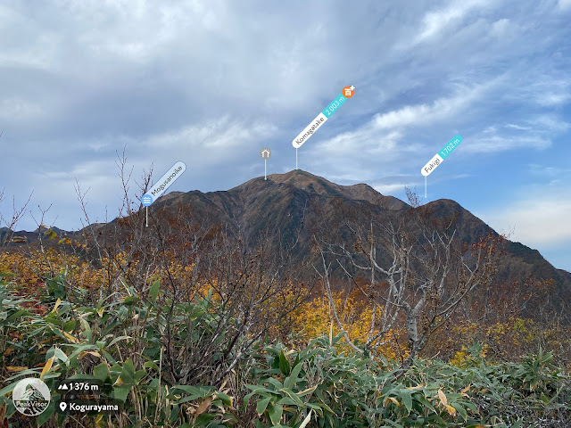
The top of Echigokoma
Tochigi and Fukushima Mountains
Tochigi, Gunma
Mt. Hakkai
Some other of the 100 Famous Mountains in this particular area:
Well, cavekids, that's all for today.
Caveman out


No comments:
Post a Comment
Have a comment? Please, keep it clean.