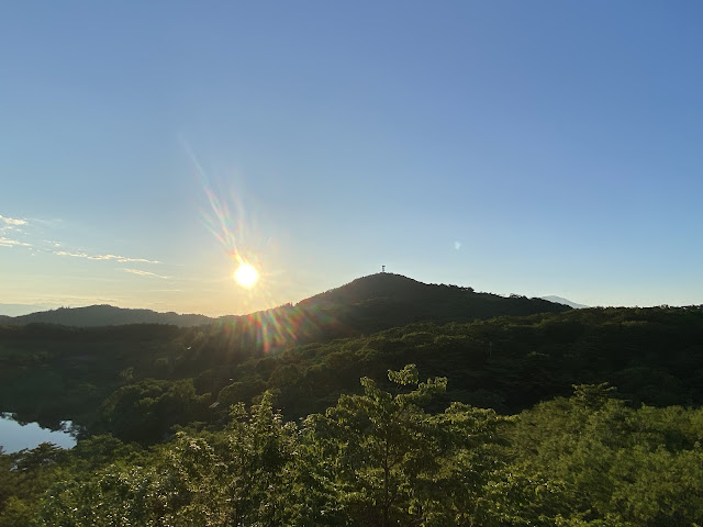
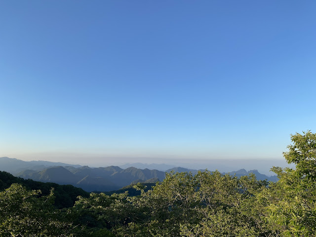
Sunset
Location: Mt. Monomi 物見山
Starting and stopping point: Uchiyama Bokujo Campground
Peaks bagged: Mt. Monomi (物見山)
(First-time) peaks XX
Getting there/getting around: My trusted car
Map: Yama to Kogen Chizu #21 西上州 妙義山・荒船山
Weather Information: Mt. Monomi's weather
Total Time: :49 Break time: :08 Distance: 3.5km
Elevation: Lowest: 1,228m Highest: 1,375m Total Ascent: 266m Total Descent: 266m
Technical considerations/difficulty: A lot of this is runnable.
Facilities: There is a public restroom and a free parking lot by the campground. Arafune Panorama Campfield
Thoughts/observations/recommendations: There are a lot of deer in this area. The trail runs beside a cow pasture. I've never seen cows there myself, but have seen pictures.
Here are links to a few other trips I've made to Monomi.
https://mymancaveisthemountains.blogspot.com/2024/01/the-year-of-dragon-is-upon-us-monomi.html
https://mymancaveisthemountains.blogspot.com/2023/10/mt-monomi-around-sunset.html
https://mymancaveisthemountains.blogspot.com/2024/05/sunrise-from-mt-monomi.html
That's all for today. Caveman, out.


No comments:
Post a Comment
Have a comment? Please, keep it clean.