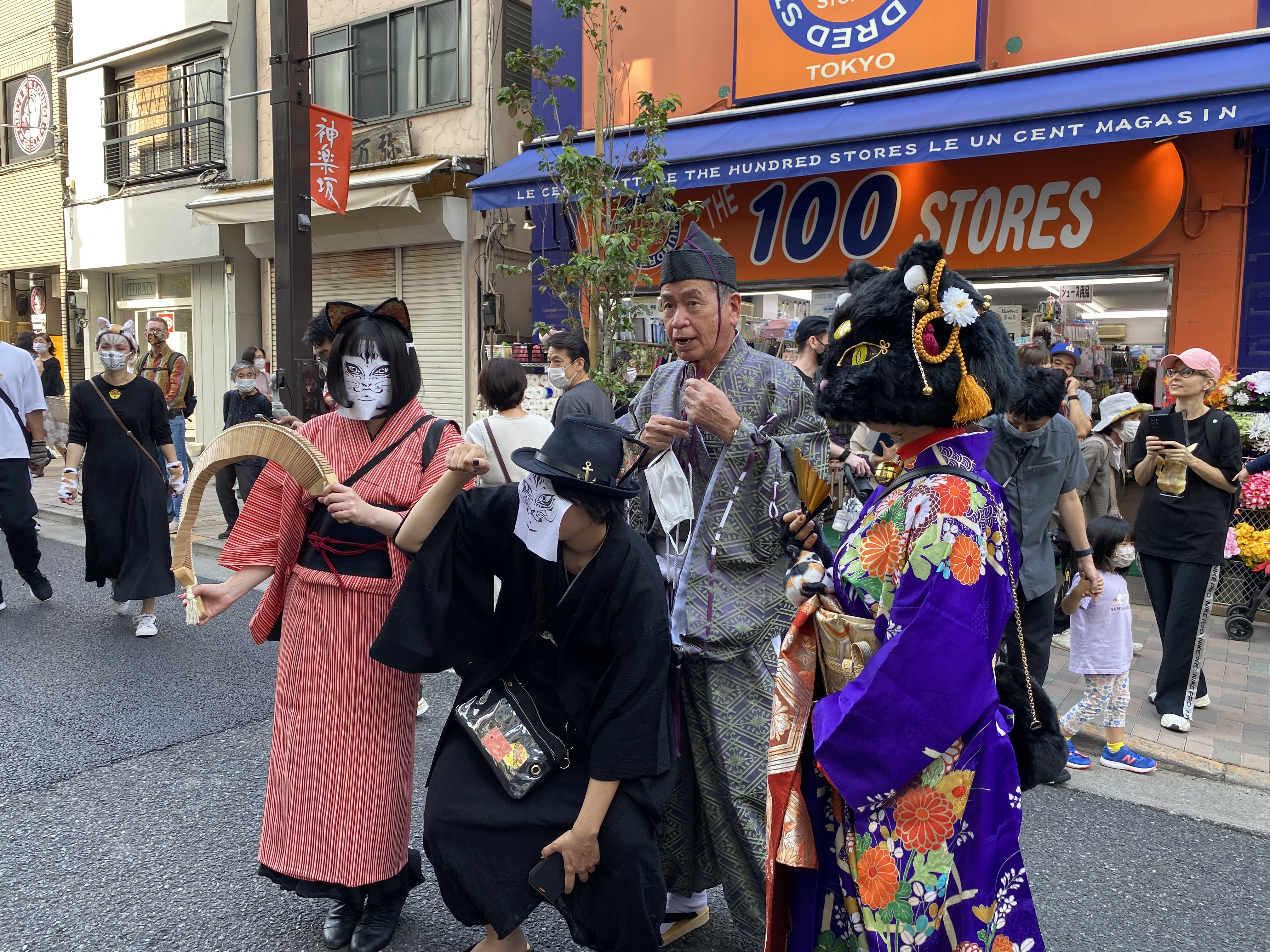
Mrs. Caveman is a cat lady so we went here today.
Bake Neko (Ghost Cat) Festival
No comment other than to say that Kagurazaka is a happening place. Don't even think of asking me for an explanation.


Holy Cat!


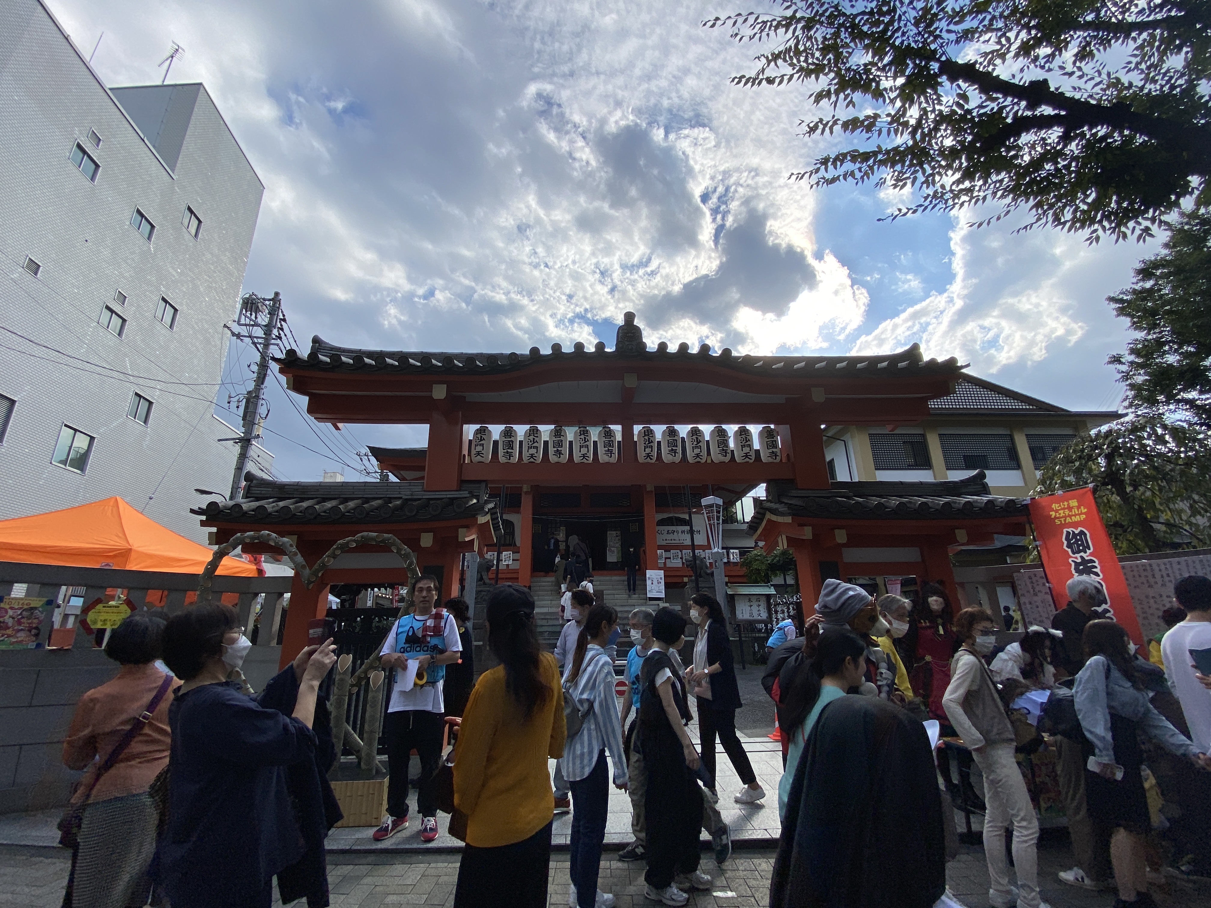


Mrs. Caveman is a cat lady so we went here today.
Bake Neko (Ghost Cat) Festival
No comment other than to say that Kagurazaka is a happening place. Don't even think of asking me for an explanation.

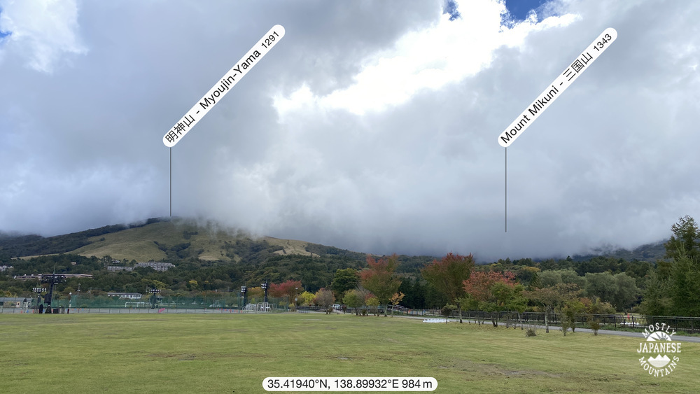
Location: Mountains overlooking Lake Yamanaka from the south side.
Starting and stopping point: Mikuniyama-hiking-course-iriguchi
Mountains climbed: 明神山(Mt. Myoujin) 三国山(Mt. Mikuni) 楢木山(Mt. Naraki) 大洞山(Mt. Obora) 畑尾山(Mt. Hatakeo) 立山(Mt. Tachi)
Getting there/getting around: There are buses running to Kagosaka Pass, where I exited the mountains on the west, and to the Mikuni Hiking Course Iriguchi, where I started.
Map: Yama to Kogen Chizu #32 富士山 御坂・愛鷹山 FUJISAN MISAKA・ASHITAKA
Weather Information: Lake Yamanaka Weather
Distance: 16km/about 10 miles
Elevation: Lowest: 984m Highest: 1,381m Total Ascent: 810m Total Descent: 812m
Technical considerations/difficulty: No ropes or chains. Much of it is flat.
Facilities: There is a public restroom at the panorama dai. That's it.
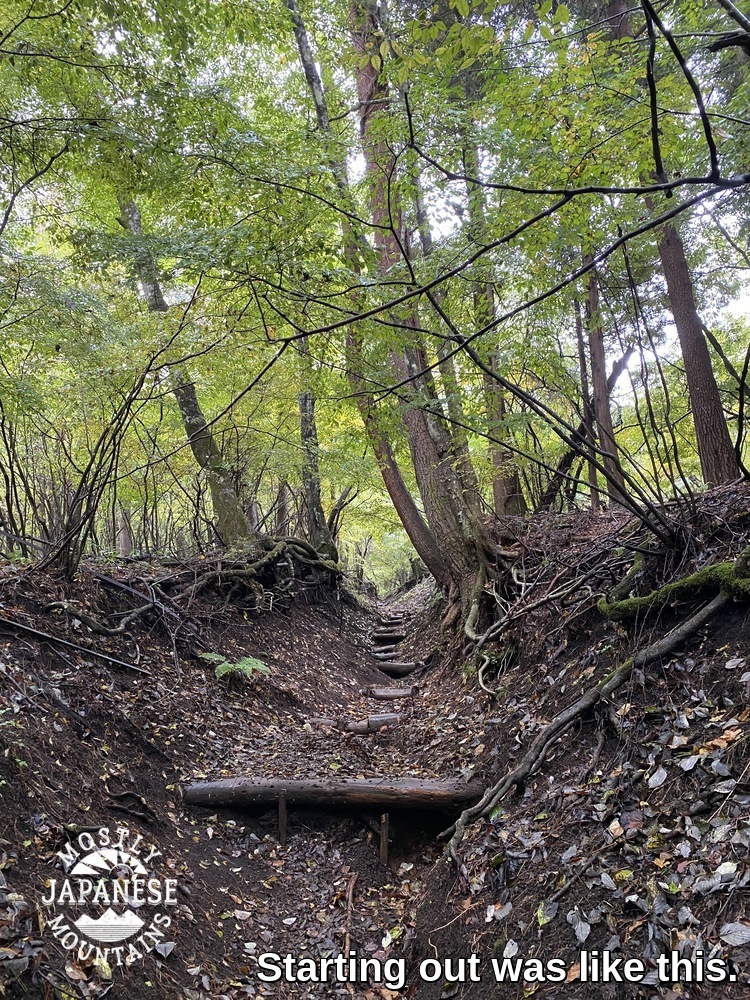
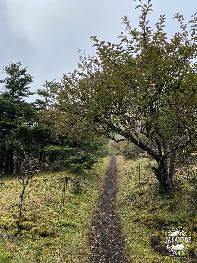
Thoughts/observations/recommendations: This would make a nice route for a trail run. After getting up to elevation, much of the trail is flat. There are very few tree roots. The trail is mostly composed of volcanic gravel or sand, so traction is great, even where it is wet. I think there probably are amazing views in the area. I'll have to go back on a clear day.
A few years ago I was really spoiled in being able to work at a school that was located near the mountains and that gave me a lot of time off. Often I could go hiking or biking after school or even between classes. The extra days off the school gave me allowed me to take advantage of the chance to hike on weekdays and to really pick and choose the best days for being outdoors. I usually didn't go anywhere on weekends and was able to spend all those days off with Mrs. Caveman. During this time, my friend Bill asked me if I ever went out when the weather was less than perfect. I said no. It seemed like I would never have to settle for less-than-perfect weather. He noted that I would know that I really had caught the bug when I would feel the call of the mountains regardless of the weather.
Well, I guess I've caught the bug. I don't work at that school anymore but I still have a desire to keep hiking at the same pace. If I don't get out at least once a week, I feel a real lack. Now, I often find myself heading to the mountains on weekends like everyone else--the people I used to think of as some kind of peasant. If the weather isn't great on the weekend, I'm out of luck.
I've really caught the bug so I went out yesterday even though it was cloudy again. Actually, I got rained on for most of the two-hour ride down to Yamanashi.
This is a map of where I was. It is not oriented to the north. My hike brought me to a ridge straddling Yamanashi and Shizuoka Prefectures. It overlooks Lake Yamanaka to the north and Oyama and Gotemba to the south. Mt. Fuji is just a few miles to the west.


Location: Mt. Kobotoke(Shiroyama) in Uratakao, Hachioji. (Uratakao means "Behind Takao".)
Starting and stopping point: Hikagezawa Parking Lot
Mountains climbed: Kobotoke(Shiroyama)
Getting there/getting around: There are buses from Takaosanguchi. I took my scooter.
Map: Yama to Kogen Chizu #28 高尾・陣馬 TAKAO・JINBA
Weather Information: Takao Weather Forecast
Distance: 7.8km. It took me about 36 minutes to get up and about 28 to get down.
Elevation: 508 meters up and 508 meters back down
Technical considerations/difficulty: Really great road for a run. It's roughly paved and is less likely to cause a sprained ankle than a lot of trails. It is a very steady, some might say unrelenting, slope.
Facilities: There is a teahouse at the top and a public toilet up there. The teahouse is seasonal.
Thoughts/observations/recommendations: I was happy with the view. Kobotoke is a pleasant mountain. It's less crowded than its more popular little sister next door, Takao-san.

The entrance is just off Route 516.