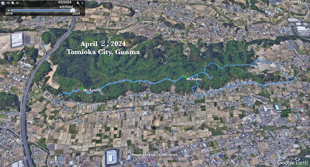
Starting and stopping point: Kannari Trailhead Parking Lot (神成登山口駐車場) by the Shinbori Shrine (新堀神社) in Tomioka, Gunma.
Peaks bagged: Mt. Azuma 吾妻山 ~ Mt. Ryuou 竜王山
(First-time) peaks # 876 and 877
Getting there/getting around: I drove. The nearest train station is Nanjaieki (南蛇井駅) (19 min. walk). Alternatively, you could get off at Kanohara (神農原駅) and start the hike from the other end, by the Miyazaki Park (宮崎公園).
Map: 西上州 21 妙義山・荒船山
Weather Information: Look for a weather report for Tomioka City. These hills aren't high enough to rate a mountain forecast.
Total Time: 2:22 Break time: :19 Distance: 5.9
Elevation: Lowest: 204 m Highest: 320 m Total Ascent: 477 m Total Descent: 477 m
Technical considerations/difficulty: None
Facilities: Benches here and there at nice viewpoints. One spot has picture books with pics of the area in each season. There is also a display case of some bits of nature--snail shells, a stuffed martin. That was neat.
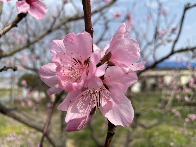
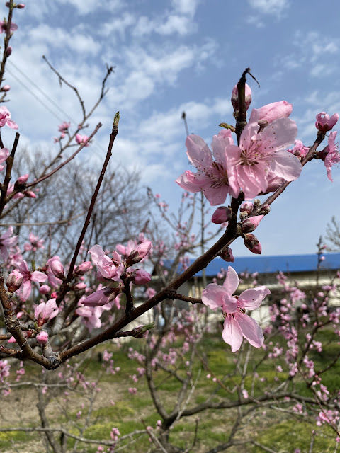
Thoughts/observations/recommendations: This was just a quick walk. I wanted to get in a little more time in the woods before I go back to work in a few days. It was quite a difference from my slog through the snow the day before. This place is very low in elevation and it was really warm. I saw butterflies and bees and all the flowers seemed to have bloomed overnight. I was hiking in a t-shirt.
I'm not going to put up many pictures, dear cavedweller. This was pretty minor as treks go. I am making this post merely for my own memory. ☺


No comments:
Post a Comment
Have a comment? Please, keep it clean.