

Location: Mt. Kobotoke(Shiroyama) in Uratakao, Hachioji. (Uratakao means "Behind Takao".)
Starting and stopping point: Hikagezawa Parking Lot
Mountains climbed: Kobotoke(Shiroyama)
Getting there/getting around: There are buses from Takaosanguchi. I took my scooter.
Map: Yama to Kogen Chizu #28 高尾・陣馬 TAKAO・JINBA
Weather Information: Takao Weather Forecast
Distance: 7.8km. It took me about 36 minutes to get up and about 28 to get down.
Elevation: 508 meters up and 508 meters back down
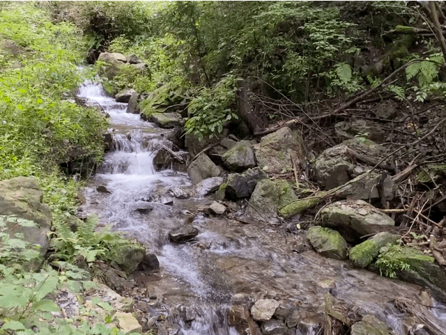
Technical considerations/difficulty: Really great road for a run. It's roughly paved and is less likely to cause a sprained ankle than a lot of trails. It is a very steady, some might say unrelenting, slope.
Facilities: There is a teahouse at the top and a public toilet up there. The teahouse is seasonal.
Thoughts/observations/recommendations: I was happy with the view. Kobotoke is a pleasant mountain. It's less crowded than its more popular little sister next door, Takao-san.

The entrance is just off Route 516.


No comments:
Post a Comment
Have a comment? Please, keep it clean.