Cave art, 2021. 3/6. May-Jun


This was my 2nd or 3rd time up to Mt. Kobushi (甲武信岳kobushigatake).  I really like that mountain.
甲武信岳 Mt. Kobushigatake 100 Famous Mountain 100名山


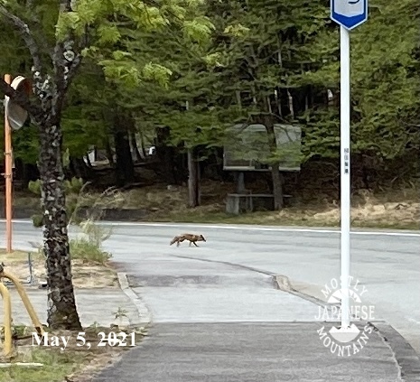
This guy was later seen tied to an anvil falling off a cliff.

The coyote!


Japan has a lot of really cool random things.


This isn't far from Takao.  It's on one of the side streets on the left between Takaosanguchi and the Odarumi Pass.  I think this is the Ukai Toriyama .  Very swanky kaiseki restaurant.  I walked by there after exiting the mountains.


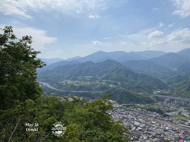
Yamanashi


Saitama

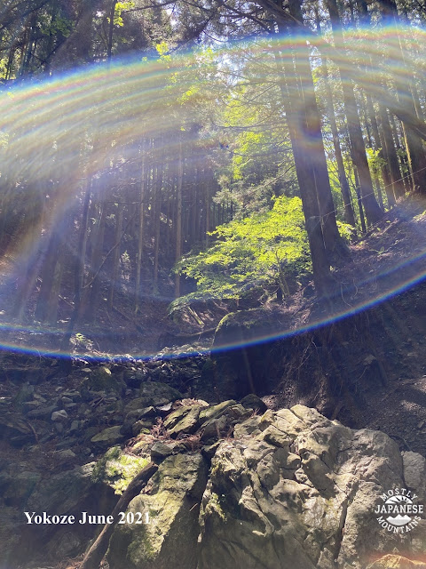
Yokoze, Saitama


I had had surgery on my cheek a week or so before I took this picture.  I had just had a golf-ball-size tumor removed.  Thank God, they got all the cancer!


For my birthday, I treated myself with a trip to Nikko to do one of the 100meizan (100 Famous Mountains), Mt. Nantai.

Nikko 日光

Lake Chuzenji Mt. Nantai 100 Famous Mountain 100名山男体山


Back to Yamanashi


Cave art, 2021. 2/6. Mar-Apr


I tend to spend a lot of time in an area once I start.  Maria von Trapp may have wanted to climb every mountain but I want to climb every trail up every mountain.  

In the winter and early spring, I spent a fair amount of time in the corner of Yamanashi north of Mt. Daibosatsu around Mt. Kasatori.  There are some wonderful trails there.


Imagine my surprise when I came upon this!


I thought it was so cool that I returned a week later with this knife . . .


Those antlers are now on my wall.  They are one of my coolest possessions.


Mt. Rubiyama


Up in Saitama a few days later

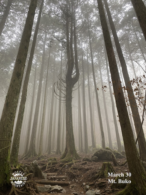
武甲山 Mt. Buko Trail

武甲山 Mt. Buko moss


Back in Tokyo, near the Okutama Line in Ome.


Ome Futamatao flowers

Ome Nariki Flowers 青梅市成木


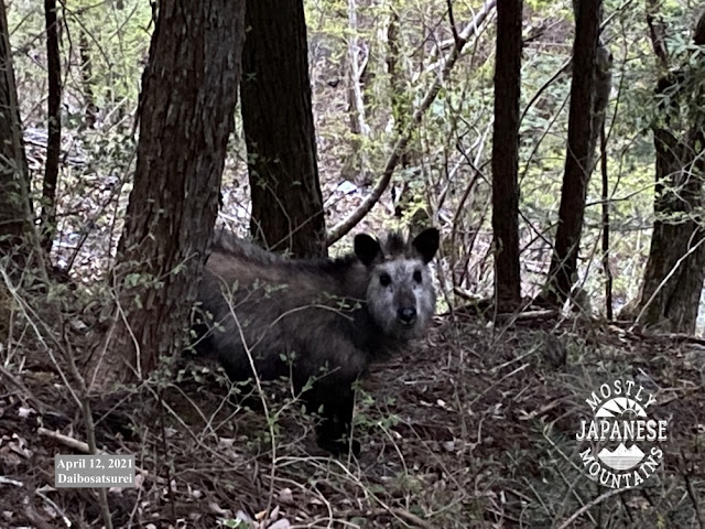
大菩薩嶺 Mt. Daibosatsurei


This is a カモシカ(kamoshika).  That translates as serow.  I've only seen 3 or 4 them in all the times I've been in the woods.  Probably because they tend to not be found in areas where deer are present--and there are a lot of deer in Tokyo and Yamanashi.

serow in tabayama 丹波山村カモシカ


大菩薩嶺カモシカ Daibosatsurei Kamoshika


Late afternoon hike.  


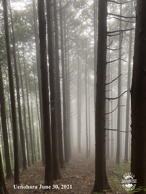
上野原市 Uenohara


Cave art, 2021. 1/6. Jan-Feb


Greetings spelunkers of all ages, shapes and sizes.  

This past year was a great one for art on the walls of my mancave and I want to share some of it with you.  I have way too many pictures to put into one post so I've concluded to break it up into six separate posts covering 2 months in each.  I hope you enjoy them.  I certainly enjoyed taking them.


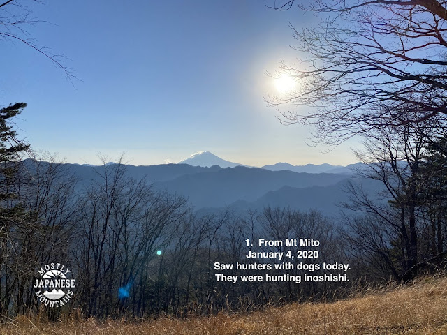
三頭山 Mt. Mito


筑波山 Mt. Tsukuba

Takao 高尾山

Mt. Hazanato

Tabayama Mura 丹波山村

Tabayama Mura 丹波山村 2


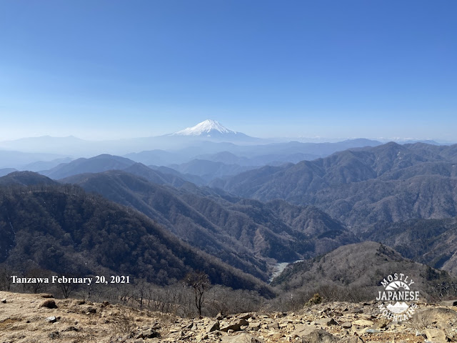
Mt. Tanzawa 丹沢山


I'm not worthy


Really honored to get mentioned by the grandaddy of hiking blogs in Japan today.  Thank you, David Lowe at ridgelineimages.com.  

https://ridgelineimages.com/musings/top-hiking-adventure-blogs-from-japan/ 

Last day of fall 2021. Mt. Mishotai

 The last day of fall was a good day for a hike around Doshi Village and Tsuru City.  


I started out at Mishotai Bashi and climbed up to Mt. Mishotai before then heading south over Maenodake, Nakanodake and Okunodake toward Mt. Fuji before hopping off the trail returning to the starting point by walking along route 413.


This is what Mt. Mishotai looks like from below.

Mt. Mishotai

. . .  this is what it looks like from above (from Mt. Fuji)


. . . and this is what it looks like at the top.  

Mt. Mishotai Top 御正体山山頂


It was a pleasant day for a hike but the scarcity of views didn't make for a lot of photo opps.  I was in fairly close proximity to Mt. Fuji and even though I was walking in its direction, it was mostly hidden by trees 90% of the time.  Because it was so close, it loomed really large but still was never visible enough to justify stopping and taking a picture.  


Most of the day looked like this.


When I finally did get to the one clear spot of the day though, it was stunning.  I took about 20 pictures of Mt. Fuji but will suppress the urge to post them all.


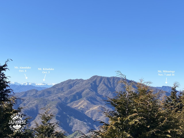
That vantage point also gave a good view of the Minami Alps to the west . . .


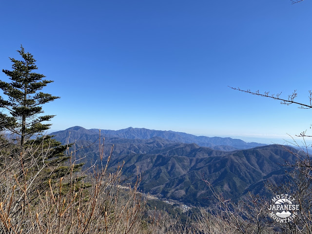
. . . and of the Tanzawa Range in the east.


I was close to Lake Yamanaka, too, but that never really came into view.


This is the route I took.  I took my scooter down there but there is a bus that runs along Route 413 so you can get there by public transportation.  The highlight of the hike was that one good viewpoint.  If you're interested, that spot is just to the north of Mt. Okunodake (奥ノ岳).  I think that might be a good starting point for a hike going down to Lake Yamanaka.


See you soon.  There is time for one more hike before the year ends.  Where shall I go?