Caveman climbs Mt. Hotaka, one of the 100 Famous Mountains


武尊山 Joshu Hotaka


Location:  

Kawaba Village, Gunma

Starting and stopping point: 

Top of the ski lift at Kawaba Ski Area

Peaks bagged: 

Kengamine (剣ヶ峰) ~ Hotaka (武尊山) ~ Nakanodake (中ノ岳)

(First-time) peaks 

# 888, 889 + 890

Getting there/getting around:  

I drove.  There are many bus tour/train options.  Check out the Kawaba Ski Area's information (in Japanese.)  Tour Information

Map: 

Yama to Kogen Map Try searching for "山と高原地図16TANIGAWA-DAKE 谷川岳 苗場山・武尊山" on Mapple's website if that link goes dead.

Weather Information: 

Mt. Hotaka Weather  The Kawaba Ski area also has weather information about the suitability for climbing each day.  Unfortunately, they post this only on the Japanese side of their website.  Click on the bottom right of the screen to the right of "Kawaba Life" where you see "天気情報".

Time

Total Time:  3:56 Break time: :36  Distance:  6.6 km

Elevation  

Lowest: 1,847 m Highest:  2,158 m Total Ascent: 670 m  Total Descent: 670 m

Technical considerations/difficulty:  

During the winter, you need spikes, and depending on the conditions, an ice axe or poles and maybe snow shoes.  I wore just crampons yesterday and was fine.  I did kind of wish I had an axe but not that often.

Facilities:  

There is nothing on the trail.  The ski area, of course, has a lot of restaurants and shops.  The ski lift starts operating at 8:30 and the last chair down leaves at 3:30.  The ski area is open from December to April.  For hikers, the lift (in 2024) is ¥1,200 each way.

The lift opens at 8:30, but if you want to get on it right at that time, be a little early.  The ski area requires you to fill out and submit a paper hiking plan and to rent a Cocoheri, if you don't have one already.

What is Cocoheri you ask?  It's a portable safety beacon in case you get in a jam.  The name is a play on the words for "here" (coco) and "helicopter" (heri).  It's provided by a outdoors insurance company called JRO.  cocoheri link  When I was on the mountain and saw the potential for avalanches, I understood why the ski area demanded that you have a cocoheri with you.

I've carried JRO insurance for years.  Unfortunately, all of their paperwork is in Japanese.  Legalize is bad enough in English.  Seeing as it's Japanese legalize, I really hope I never have to put in a claim!     

Thoughts/observations/recommendations:  

I'm not usually a fan of using ski lifts or the like when hiking.  It feels like cheating and makes what I want to be a cheap hobby cost money.  Time available and weather conditions determined that the ski lift was the only possibility to knock this mountain off the list during this season.  


Enjoy the pictures.  Do check out the videos, too.

I'd love your feedback on what I'm doing.  I do this blog primarily for
myself so I can remember all these places I've been.  If I can make something
interesting for you, though, I'll be even more happy.


Look!


Two lifts to get to the trailhead.

Just off the lift!


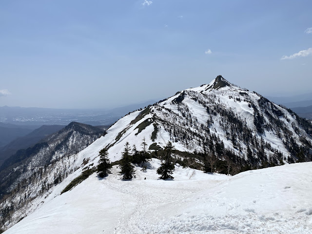
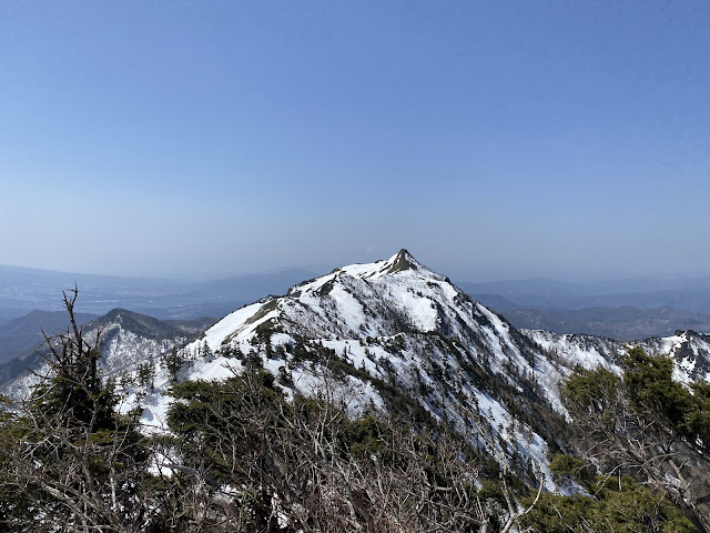
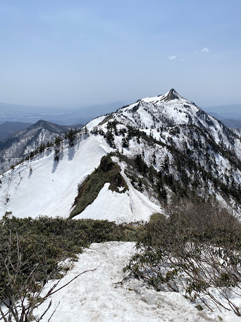
That peak over there is called Kengamine, (Kenga Peak).  It is a little confusing because I took this picture from beside another peak of the same name.  There are so many Japanese mountains with the same name.


Kengamine, take from the trail to Joshu Hotaka

There is actually another mountain called Hotaka on the list of 100 Famous Mountains.  They usually call this one Joshu Hotaka as a way to distinguish it from its taller brother in Kamikochi.  "Joshu" refers to this area.


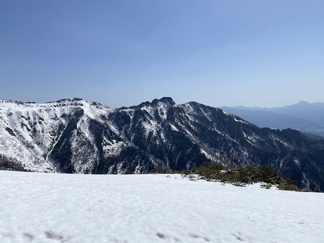
That is Mt. Hotaka

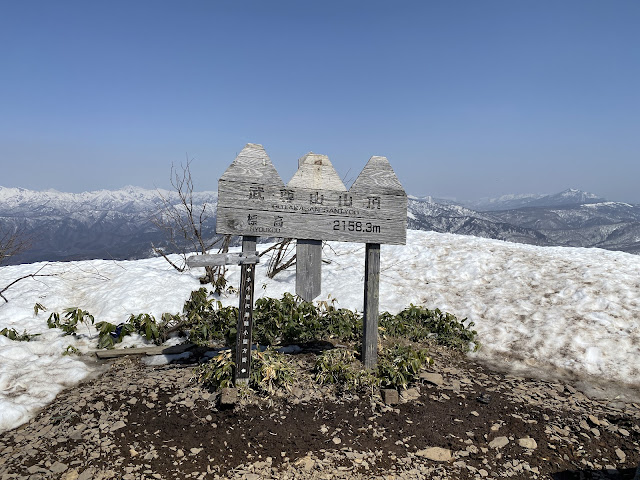
Joshu Hotaka


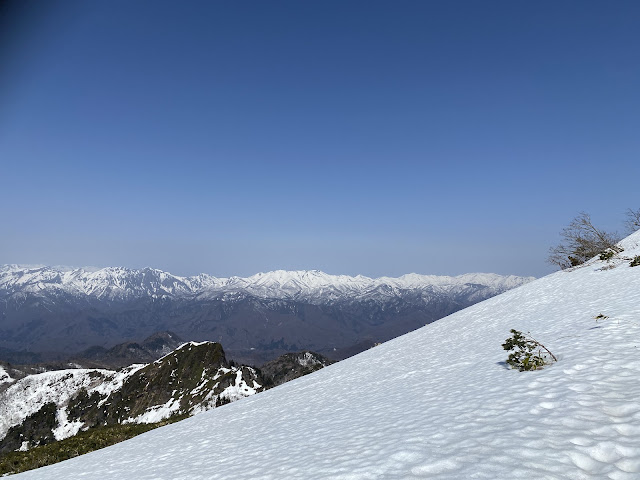
Looking west toward Niigata.


The top of Hokata

Top of Joshu Hotaka


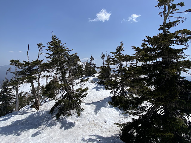
snow in Gunma


Joshu Hotaka

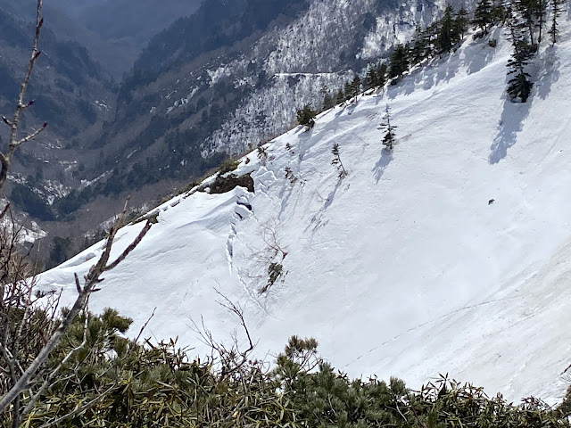
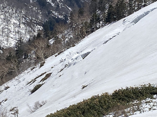
These cracks give one pause for thought.  If an avalanche started, hoo boy.
Have you ever contemplated the power of snow (ie, water) and gravity?  A cubic meter of water is a metric ton.  Can you imagine the volume of wet, heavy snow on the sides of these ridges?

be careful of avalanche

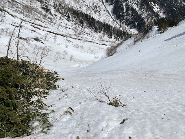
The contours of the snow surface were also concerning in spots.  I'm told that when the snow surface is wrinkled, wavy or dimpled and when you can't guess the topography below the snow, the likelihood of avalanche is higher.

be careful of avalanche  2

be careful of avalanche 3


be careful of avalanche 4


This filled the bill at the end of a beautiful day.  🤓
This onsen is Setagaya Residents Healthy Village, that is maintained for the residents of Tokyo's Setagaya Ward to have a discounted retreat in the country.  As you can see, I had the bath all to myself.


That's all for today.

Subscribe.  Tell your friends.  Watch my youtube channel.  All the cool kids are doing that--and you want to be a cool kid, don't you?

Check out another of the 100 Famous Mountains?  How about Kobushi or Mt. Fuji

Caveman out.


Setagaya Healthy Village
Fowl Play!


Tales From The Mancave , the trailer

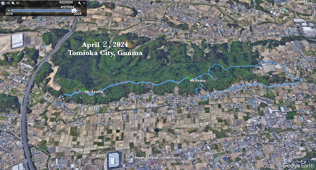
Short hike in Tomioka City


Starting and stopping point: Kannari Trailhead Parking Lot (神成登山口駐車場) by the Shinbori Shrine (新堀神社) in Tomioka, Gunma.

Peaks bagged: Mt. Azuma 吾妻山 ~ Mt. Ryuou 竜王山

(First-time) peaks # 876 and 877

Getting there/getting around:  I drove.  The nearest train station is Nanjaieki (南蛇井駅) (19 min. walk).  Alternatively, you could get off at Kanohara (神農原駅) and start the hike from the other end, by the Miyazaki Park (宮崎公園).

Map: 西上州 21 妙義山・荒船山

Weather Information: Look for a weather report for Tomioka City.  These hills aren't high enough to rate a mountain forecast.

Total Time:  2:22 Break time: :19  Distance:  5.9

Elevation:  Lowest: 204 m Highest: 320 m  Total Ascent:  477 m Total Descent: 477 m

Technical considerations/difficulty:  None

Facilities:  Benches here and there at nice viewpoints.  One spot has picture books with pics of the area in each season.  There is also a display case of some bits of nature--snail shells, a stuffed martin.  That was neat. 

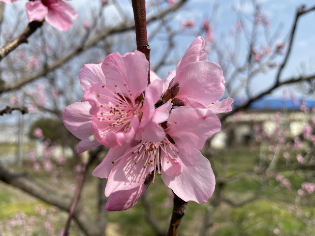
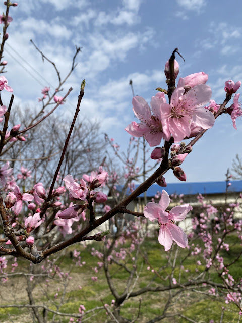
Thoughts/observations/recommendations:  This was just a quick walk.  I wanted to get in a little more time in the woods before I go back to work in a few days.  It was quite a difference from my slog through the snow the day before.  This place is very low in elevation and it was really warm.  I saw butterflies and bees and all the flowers seemed to have bloomed overnight.  I was hiking in a t-shirt.

I'm not going to put up many pictures, dear cavedweller.  This was pretty minor as treks go.  I am making this post merely for my own memory.  ☺ 


That's all for today.

Caveman out.


The tale of the crooked nose and the frigid wife. Mt. Hanamagari and Mt. Hizuma.


Location: Mt. Hanamagari on the line between Gunma and Nagano

Starting and stopping point:  Scenic Overlook at Nidoage Pass

Peaks bagged: Mt. Hizuma (氷妻山), Mt. Hanamagari (鼻曲山)

(First-time) peaks # 874 and 875

Getting there/getting around:  Car.  There is a parking lot at the Nidoage Pass (二度上峠) that can accommodate 4 or 5 cars in the non-snow seasons.  I had to park at another lot about 500 meters down the street as that parking lot was snowed in.

Map: Yama to Kogen Chizu 19 浅間山軽井沢・長野原の山々ASAMA-YAMA KARUIZAWA-NAGANOHARA-MOUNTAINS

Weather Information:  Mt. Hanamagari Weather

Total Time: 3:47  Break time:  :14 Distance:  7.2 km

Elevation:  Lowest: 1,372 m Highest: 1,655 m Total Ascent: 625 m  Total Descent: 625 m

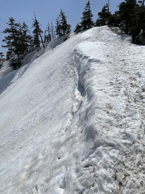
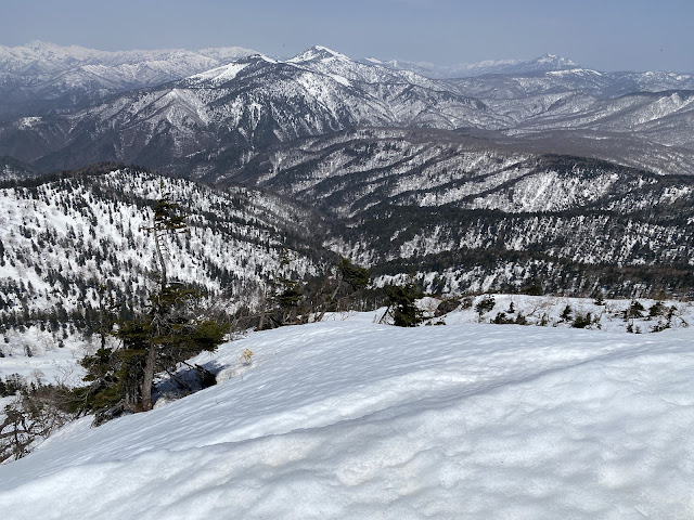
Technical considerations/difficulty:  The challenge today was snow.  Although there has been a lot of melting, much of this trail is still covered with about a foot (30cm) or more.  Some areas are along or near ridges with steep dropoffs.  I took great care not to slide off the mountain or to start an avalanche.  The pink ribbons marking the trail were sufficient.

Facilities:  Nothing.  

Thoughts/observations/recommendations:  I've wanted to do this mountain since I climbed Asama Kakushi back in December.  I was really tempted to do it that day but decided to wait.  


Today's listening:  For You The War Is Over


Greetings Cavedwellers.

This is my report on the crooked nose and the frigid wife.

I imagine that introduction inspires images of old crones and unhappy married couples.  Nothing could be farther from the truth.  It just happens that the two mountains I feature today have funny names.

One of the mountains is Mt. Hanamagari (鼻曲山).  "Hana" is 'nose' and "magari" could be either 'song' or 'bend.'  I think bend is more likely.  So, crooked nose is a pretty good translation.  The other mountain is Hizuma (氷妻山).  "Hi" means 'ice' ❄️ and "zuma" means 'wife.' 🥶 Shudder.

Not much to say about it.  I just wanted to get out before the snow melts.

Here are some pics.

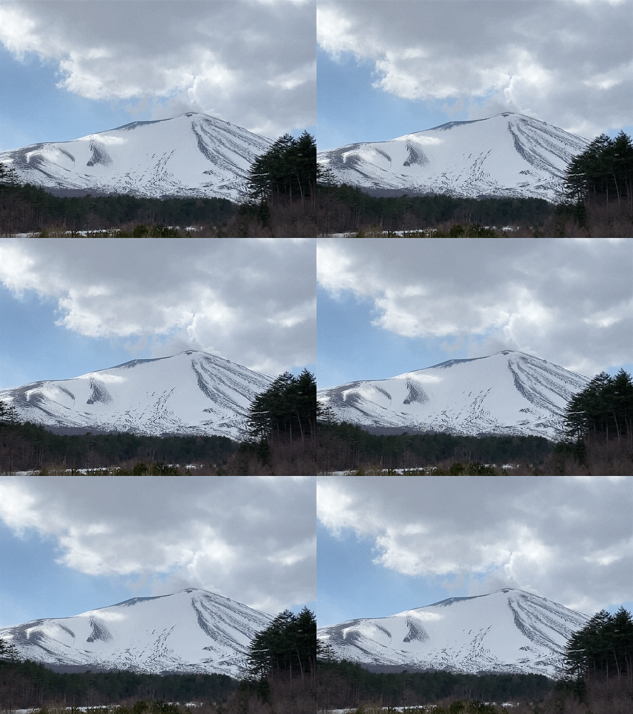
This is Asama and the adjacent plateaus from the road.

Mt. Asama

. . .  and Asama again from my starting point, Nidoage Pass.

Asama snow


This was interesting.  The road crews are picking up the signs that say to be careful of the freezing roads.

Maybe it's time to switch out the ol' snow tires.


This is Mt. Frigid Wife.


Mt. Crooked Nose


Mt. Crooked Nose is the bump on the left.
These hills have a lot of bumpy areas and large boulders that make them cool-looking.


Going down, as is often the case, was harder than going up.  It was very easy to start to slip, potentially causing an avalanche.


That's all for today.

Caveman out.