Mt. Mishotai
The last day of fall was a good day for a hike around Doshi Village and Tsuru City.
This is what Mt. Mishotai looks like from below.
. . . this is what it looks like from above (from Mt. Fuji)
. . . and this is what it looks like at the top.
I started out at Mishotai Bashi and climbed up to Mt. Mishotai before then heading south over Maenodake, Nakanodake and Okunodake toward Mt. Fuji before hopping off the trail returning to the starting point by walking along route 413.
It was a pleasant day for a hike but the scarcity of views didn't make for a lot of photo opps. I was in fairly close proximity to Mt. Fuji and even though I was walking in its direction, it was mostly hidden by trees 90% of the time. Because it was so close, it loomed really large but still was never visible enough to justify stopping and taking a picture.
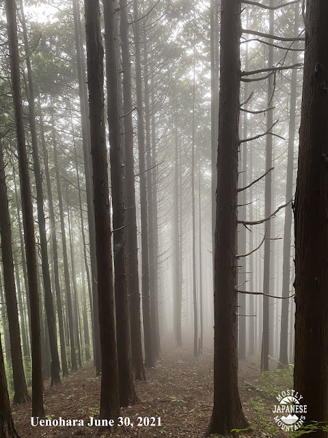
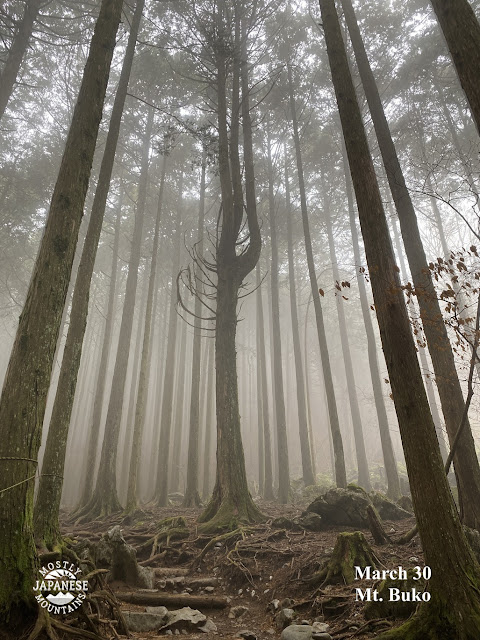
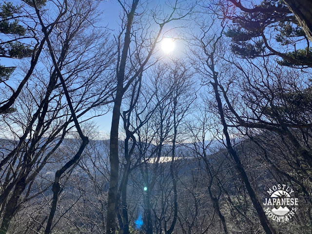
Most of the day looked like this.
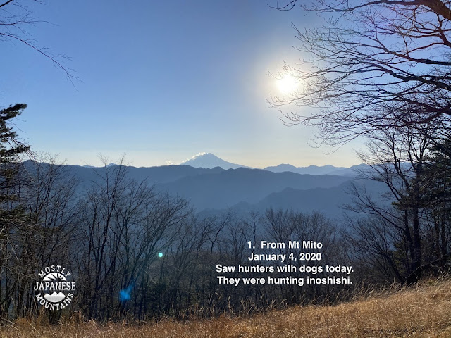
When I finally did get to the one clear spot of the day though, it was stunning. I took about 20 pictures of Mt. Fuji but will suppress the urge to post them all.
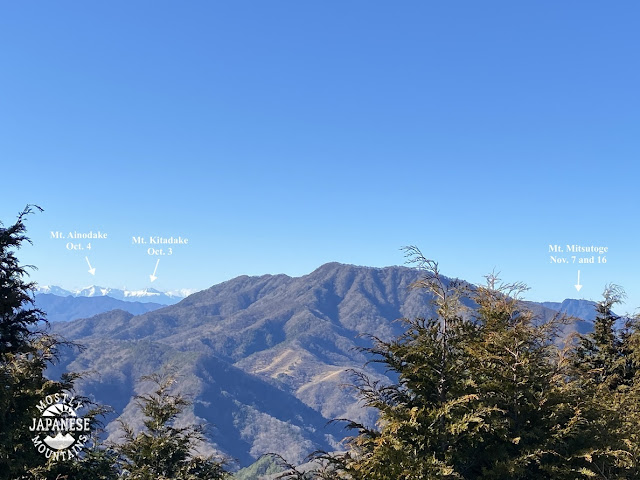
That vantage point also gave a good view of the Minami Alps to the west . . .
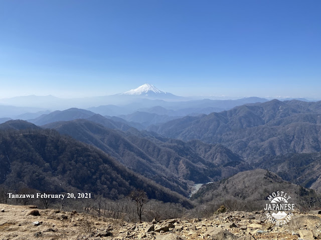
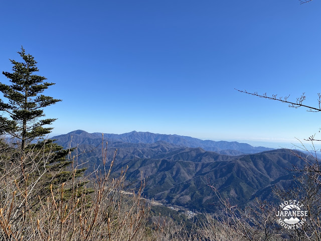
. . . and of the Tanzawa Range in the east.
I was close to Lake Yamanaka, too, but that never really came into view.
This is the route I took. I took my scooter down there but there is a bus that runs along Route 413 so you can get there by public transportation. The highlight of the hike was that one good viewpoint. If you're interested, that spot is just to the north of Mt. Okunodake (奥ノ岳). I think that might be a good starting point for a hike going down to Lake Yamanaka.
See you soon. There is time for one more hike before the year ends. Where shall I go?


