Almost leaf-peeping . . . October day hike on the south side of Lake Yamanaka


Greetings cave dwellers.  Welcome back to the cave.  I was able to dodge the rain drops long enough to take a hike in the Fujigoko (Fuji 5 Lakes) area yesterday.  The weather didn't cooperate enough to give me any great views to speak of, but at least I didn't get rained on.

Here are the statistics:

Location:  Mountains overlooking Lake Yamanaka from the south side.

Starting and stopping point:  Mikuniyama-hiking-course-iriguchi

Mountains climbed: 明神山(Mt. Myoujin) 三国山(Mt. Mikuni) 楢木山(Mt. Naraki) 大洞山(Mt. Obora) 畑尾山(Mt. Hatakeo) 立山(Mt. Tachi) 

Getting there/getting around:  There are buses running to Kagosaka Pass, where I exited the mountains on the west, and to the Mikuni Hiking Course Iriguchi, where I started.

Map:  Yama to Kogen Chizu #32 富士山 御坂・愛鷹山 FUJISAN MISAKA・ASHITAKA

Weather Information:  Lake Yamanaka Weather

Distance:  16km/about 10 miles

Elevation:  Lowest:  984m Highest: 1,381m  Total Ascent:  810m Total Descent: 812m

Technical considerations/difficulty:  No ropes or chains.  Much of it is flat.

Facilities:  There is a public restroom at the panorama dai.  That's it.

Thoughts/observations/recommendations: This would make a nice route for a trail run.  After getting up to elevation, much of the trail is flat.  There are very few tree roots.  The trail is mostly composed of volcanic gravel or sand, so traction is great, even where it is wet.  I think there probably are amazing views in the area.  I'll have to go back on a clear day.


A few years ago I was really spoiled in being able to work at a school that was located near the mountains and that gave me a lot of time off.  Often I could go hiking or biking after school or even between classes.  The extra days off the school gave me allowed me to take advantage of the chance to hike on weekdays and to really pick and choose the best days for being outdoors.  I usually didn't go anywhere on weekends and was able to spend all those days off with Mrs. Caveman.  During this time, my friend Bill asked me if I ever went out when the weather was less than perfect.  I said no.  It seemed like I would never have to settle for less-than-perfect weather.  He noted that I would know that I really had caught the bug when I would feel the call of the mountains regardless of the weather. 

Well, I guess I've caught the bug.  I don't work at that school anymore but I still have a desire to keep hiking at the same pace.  If I don't get out at least once a week, I feel a real lack.  Now, I often find myself heading to the mountains on weekends like everyone else--the people I used to think of as some kind of peasant.  If the weather isn't great on the weekend, I'm out of luck.

I've really caught the bug so I went out yesterday even though it was cloudy again.  Actually, I got rained on for most of the two-hour ride down to Yamanashi.

This is a map of where I was.  It is not oriented to the north.  My hike brought me to a ridge straddling Yamanashi and Shizuoka Prefectures.  It overlooks Lake Yamanaka to the north and Oyama and Gotemba to the south.  Mt. Fuji is just a few miles to the west.


I saw two large bucks early in the morning.  Unfortunately I didn't get a great picture.


Something like sunshine!


I came across a few of these holes.  Bears?


Looking down toward Gotemba.  I'm sure it would be a spectacular view.

Much of the trail is like this.  I found myself running a few times.


Fall is coming!


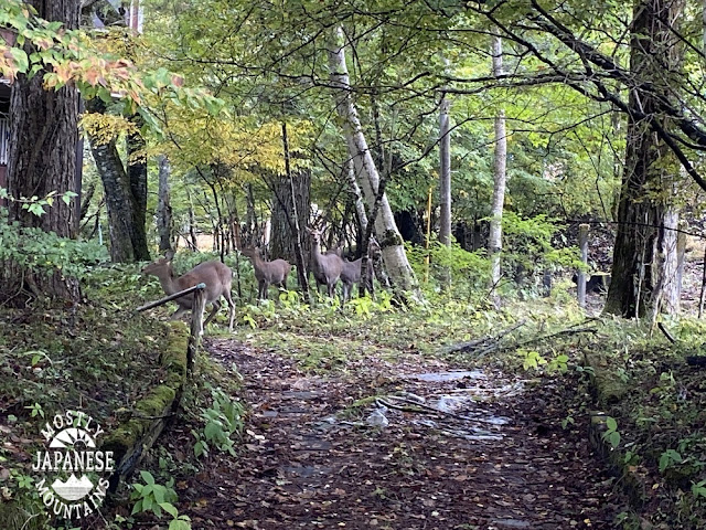
I saw a lot of deer on this hike.  And a LOT of deer tracks--on the mountain and by the lake.  I saw a sign cautioning people to watch out for deer hunters.  The "season" is every Wednesday all year-round. The deer in this picture are in the yard of someone's mountain villa. 


Speaking of mountain villas, I passed many of them after exiting the mountains at Kagosaka Toge ("Basket Hill Pass") and walking down to the lake where my bike was.  There are several neighborhoods which have some great vacation homes and company/school retreats around there. 

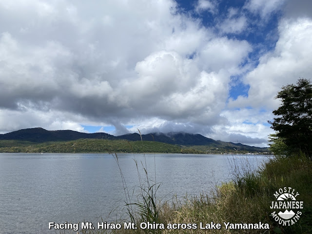
After a few more miles after the Kagosaka Pass, I reached the lake.


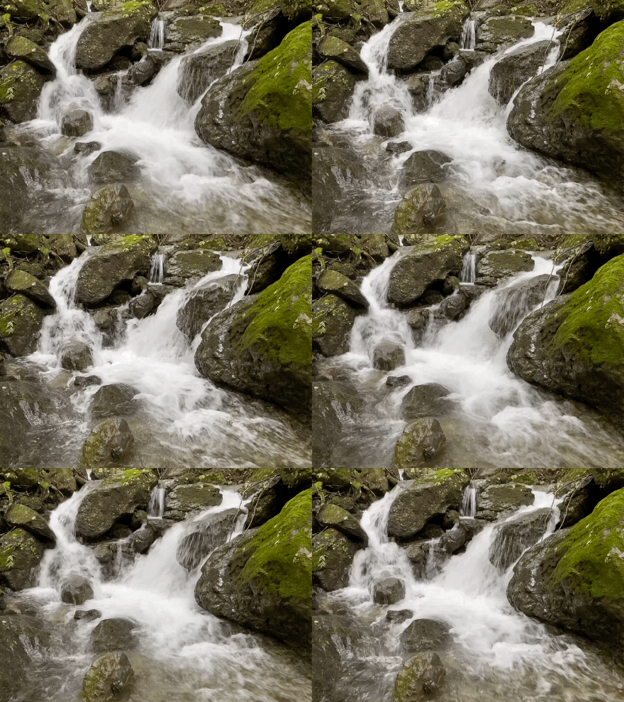
The videos are probably boring.  Don't feel compelled to watch.  I liked taking them, though.


These two pictures are looking up from my starting/finishing point.  Mt. Myoujin was the first mountain and Mikuni was the second mountain of the day.


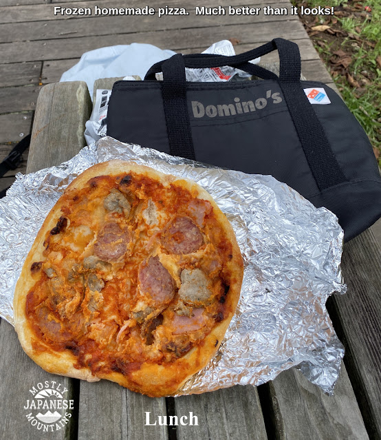
I moved a lot faster on this hike than I'd estimated.  I ate lunch at the end of the hike.


That's all for today.  Don't forget to subscribe.  Comment at will.  Come back again.


Kobotoke Shiroyama Trail Run


I headed out to the Uratakao area to get some time in the woods.  We've had so much rain lately that I have had to resort to going to familiar nearby mountains whenever there is a break in the weather for a few hours free to keep my feet from going soft.  I've been to this mountain innumerable times and I'm sure it's appeared on the blog before so I'm not going to write a lot.  


Location:  Mt. Kobotoke(Shiroyama) in Uratakao, Hachioji.  (Uratakao means "Behind Takao".)

Starting and stopping point:  Hikagezawa Parking Lot

Mountains climbed: Kobotoke(Shiroyama)

Getting there/getting around:  There are buses from Takaosanguchi.  I took my scooter.

Map:  Yama to Kogen Chizu #28 高尾・陣馬 TAKAO・JINBA

Weather Information:  Takao Weather Forecast

Distance:  7.8km.  It took me about 36 minutes to get up and about 28 to get down.

Elevation:  508 meters up and 508 meters back down

Technical considerations/difficulty:  Really great road for a run.  It's roughly paved and is less likely to cause a sprained ankle than a lot of trails.  It is a very steady, some might say unrelenting, slope.

Facilities:  There is a teahouse at the top and a public toilet up there.  The teahouse is seasonal.

Thoughts/observations/recommendations: I was happy with the view.  Kobotoke is a pleasant mountain.  It's less crowded than its more popular little sister next door, Takao-san.


The entrance is just off Route 516.


A parking lot.  Much of the road is of this quality all the way to the top.  I ran it in regular sneakers with no problem.


The road follows this stream most of the way.  It's pretty.


The top.  Looking out at Tokyo to the east.  You can see Skytree and downtown with the naked eye.


On the other side of the top, looking to the southwest.


Looking east again.


Come again, soon.  Keep your fingers crossed for nice weather.


Spotted on the street . . .

 Hello cavedwellers.  This will be short, and there will be no mountains involved.

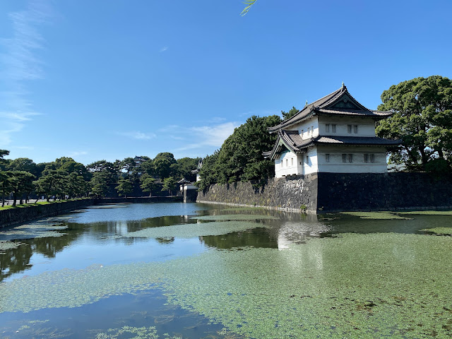
Yesterday I went to Ginza to meet a friend and pick up a new pair of boots that arrived from the states to his p.o. box.  We had lunch with a friend in Ginza and it was such a beautiful day so I couldn't help but go for a long walk to break them in.  I walked through the Imperial Palace, Hibiya Park, Akasaka, Omotosando, Yoyogi Park, Inokashira Park.  26.6km when I finally got on a train in Mitaka.

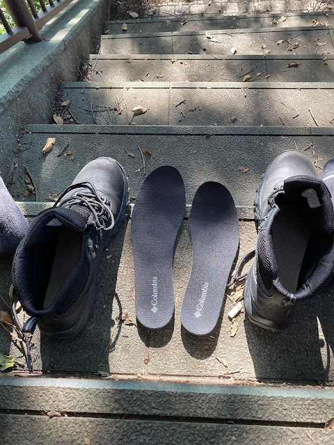
I love my boots; I've been buying a pair of the same ones every year for the past three years.  Unfortunately quality control doesn't seem to be a priority at Columbia these days.

"You had one job . . . "


I caught this sign in a window as I was walking down the street.  I respect anyone who has respect for man caves . . .

but these are too many rules for my taste, though.  The only rule of my man cave is "Get off my lawn."

Here are some pics of the walk.  Have a nice day.


Around the Imperial Gardens


That's Tokyo Station.  It's rumored to a copy of a station in the Netherlands.


Hibiya Park

The National Diet


Harajuku Station had a facelift a few years ago.  I liked the old look better but this is more functional.


Olympic Stadium


Yoyogi Park


It's only September and Santa Claus is already making an appearance.  I did a doubletake and thought I was in Manila and not Tokyo for a second.  Christmas dominates the "ber" months--SeptemBER, OctoBER,... down there.


Foiled again. Mt. Fuji has entered the Witness Protection Program and is nowhere to be seen.

Greetings cave creatures.  Welcome to my cave.  Pull up a rock.


We just had the second of two three-day weekends in a row which were affected by typhoons.  I didn't think I'd be able to dodge the raindrops long enough to do it, but I was able to run down to Yamanashi for a day hike on Sunday.  I didn't get blown away, but fog and clouds were the order of the day.

I hesitate to post this because I really like to make blog posts with stunning pictures showing the beauty of nature.  That's the main reason I started this blog.  In pointing through the beauty of nature, I hope ultimately to point the viewer to the artist who made it.

The beauty in this post is more of the rain/fog/spider/snake kind than the usual beauty of the breathtaking vistas of distant mountain peaks.  

Even if I can't show that many beautiful pictures, I at least want to post this information in hopes it can help someone plan a hike.

Let me get the details out of the way.


Location:  North side of Lake Kawaguchi in Yamanashi.

Starting and stopping point:  Parking spot

Mountains climbed: 13, in total.  The main ones are Kurodake, Misaka and Mitsutoge.

Getting there/getting around:  I took my bike but you can get to the area by bus.

Map:  Yama to Kogen Chizu #32 富士山

Weather Information:  Mitsutoge's weather.

Distance:  12.5km

Elevation:  Lowest: about 1,030 meters. Highest about 1,793 meters. Total up and down 1,825~1,830 meters.

Technical considerations/difficulty: It was not a super-challenging hike technically.  There are some ropes in places but very little exposure.  It is a long hike if not scary.  I'm not sure if it is the trail or the fact that I was not wearing my favorite boots but the going was slow.  It took me more than eight-and-a-half hours and my ankles were stiff by the time I finished. 

Facilities:  Between my starting point on Route 137 and Mt. Mitsutoge, there is nothing commercial.  There is a fresh stream for water for the first hour or so but then no water again until the huts around Mt. Mitsutoge.  The first public toilets you'll encounter are the top of Mitsutoge.  On east side of Route 137, not far from Mitsutoge, there is the Tenkachaya (Teahouse Below Heaven) which seems to be a happening place to grab a bowl of Houtou or a can of beer--if either of those is your thing.  Actually, climbing to Mitsutoge from the Tenkachaya is one of the more popular routes.  It's a very short hike so it's the type of place I would feel like I had cheated were I to take it. 

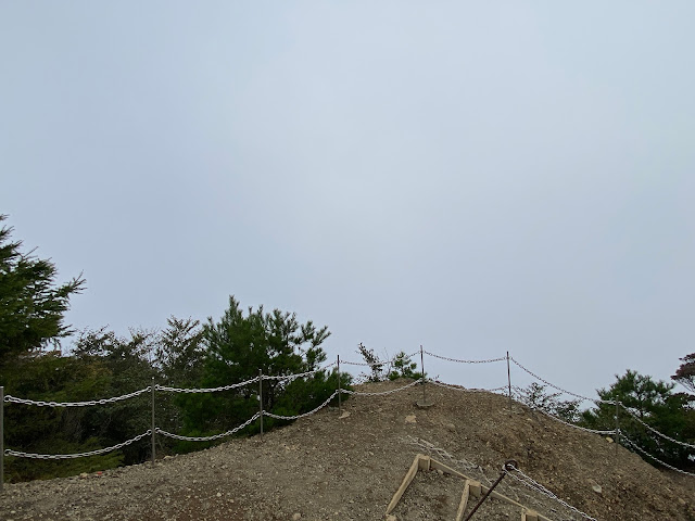
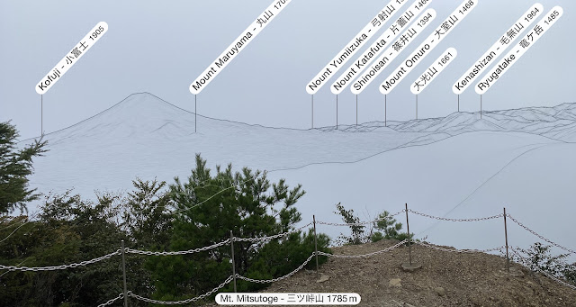
Thoughts/observations/recommendations: This is my third time to Mitsutoge and it is the third time that inclement weather has denied me any kind of view worth looking at.  😆  I'm told it is one of the best places to view Mt. Fuji, but I have to take everyone's word for that.  

I chose this route basically to connect the dots on my map.  The main mountain on the west side of this hike, Mt. Kurodake (黒岳), and the main one on the east side, Mt. Mitsutoge (三ツ峠山), are both worthwhile hikes in their own right.  I spent a night on Kurodake and I recall that spot had one of the most wonderful views of Fuji.  Mitsutoge, with the vantage point it has facing Mt. Fuji over Lake Kawaguchi, also is great.  The stretch of trail between them could be skipped--unless you have O.C.D. like I do and feel compelled to hike every trail around all 5 of the lakes of the Fuji Five Lakes Region.  😜  


Here are some pictures.  

One of the weapons I carry at this time of year is a stick.  The stick is to wave in front of me to wipe out all the cobwebs across the trail. 
Cobweb on Japanese hiking trail

Speaking of wildlife . . .


I did see and hear several deer, too.  I couldn't get any pictures, though.


I like walking by water.  Since it's been such a rainy September, these little streams have really swollen.


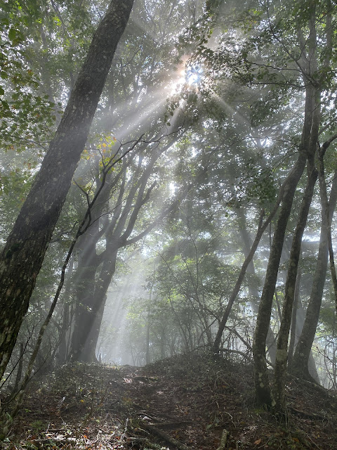
Komorebi


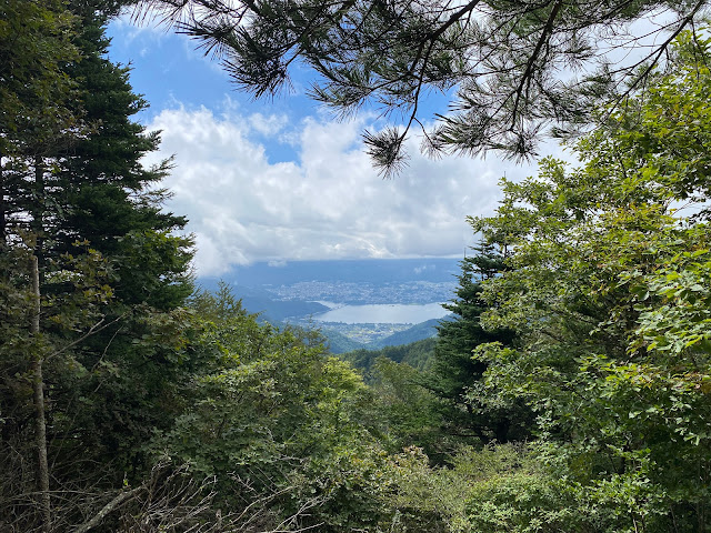
I got this glimpse of the lake during the approximately 5 minutes that the sun came out.

Lake Kawaguchi


I took these next ones at the top of Mitsutoge.

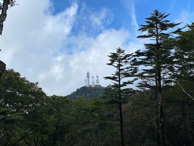
These antennae are on the north peak of Mt. Mitsutoge.  They are great landmarks because you can spot them from dozens of miles away.

Mt. Mitsutoge Antennae


This is looking toward the south peak from the north.

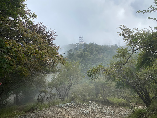
More antennae on Mitsutoge

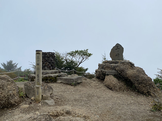
The south peak.

Mt. Mitsutoge South Peak

Looking toward Mt. Fuji from the south peak.


Use your imagination for what it must be like on a clear day.

Fuji view from Mitsutoge's south peak


This is just below the peak.  I've walked along the trail below the rock climbers.  That is not a small wall.  Mad respect.


This is the Mitsutoge Sanso (Villa/Lodge).  


This Sanso is serviced by a rough and rocky road.  The sanso has a bunch of jeeps and some tracked vehicles that drive on it.  The last part of my trek started along this road.  After a few miles on that, I met a paved road for the last few miles down to my bike.

That's all for now.  Have a nice week!

Check out my other hikes around Mitsutoge, if you like.


Caveman out.