Greetings cave creatures. Welcome to my cave. Pull up a rock.
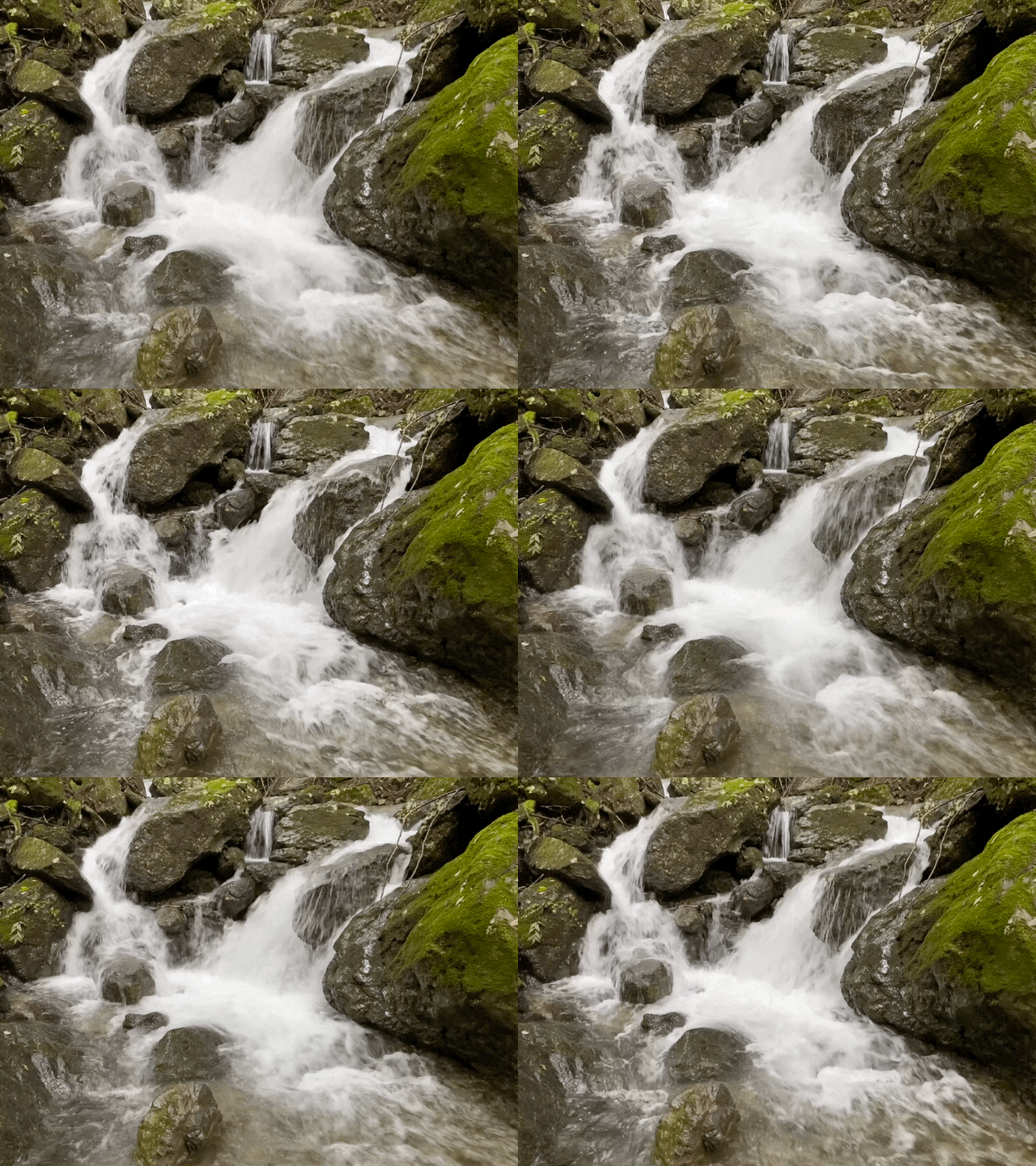
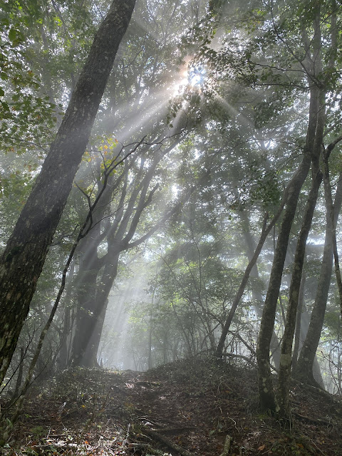
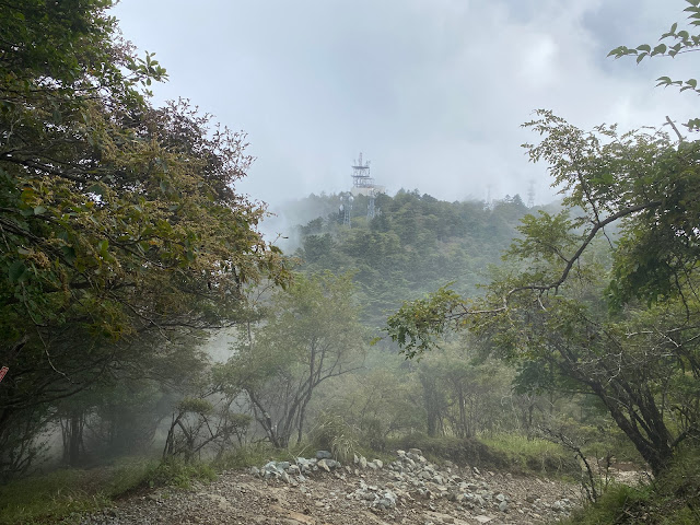
We just had the second of two three-day weekends in a row which were affected by typhoons. I didn't think I'd be able to dodge the raindrops long enough to do it, but I was able to run down to Yamanashi for a day hike on Sunday. I didn't get blown away, but fog and clouds were the order of the day.
I hesitate to post this because I really like to make blog posts with stunning pictures showing the beauty of nature. That's the main reason I started this blog. In pointing through the beauty of nature, I hope ultimately to point the viewer to the artist who made it.
The beauty in this post is more of the rain/fog/spider/snake kind than the usual beauty of the breathtaking vistas of distant mountain peaks.
Even if I can't show that many beautiful pictures, I at least want to post this information in hopes it can help someone plan a hike.
Let me get the details out of the way.
Location: North side of Lake Kawaguchi in Yamanashi.
Starting and stopping point: Parking spot
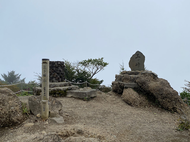
Mountains climbed: 13, in total. The main ones are Kurodake, Misaka and Mitsutoge.
Getting there/getting around: I took my bike but you can get to the area by bus.
Map: Yama to Kogen Chizu #32 富士山
Weather Information: Mitsutoge's weather.
Distance: 12.5km
Elevation: Lowest: about 1,030 meters. Highest about 1,793 meters. Total up and down 1,825~1,830 meters.
Technical considerations/difficulty: It was not a super-challenging hike technically. There are some ropes in places but very little exposure. It is a long hike if not scary. I'm not sure if it is the trail or the fact that I was not wearing my favorite boots but the going was slow. It took me more than eight-and-a-half hours and my ankles were stiff by the time I finished.
Facilities: Between my starting point on Route 137 and Mt. Mitsutoge, there is nothing commercial. There is a fresh stream for water for the first hour or so but then no water again until the huts around Mt. Mitsutoge. The first public toilets you'll encounter are the top of Mitsutoge. On east side of Route 137, not far from Mitsutoge, there is the Tenkachaya (Teahouse Below Heaven) which seems to be a happening place to grab a bowl of Houtou or a can of beer--if either of those is your thing. Actually, climbing to Mitsutoge from the Tenkachaya is one of the more popular routes. It's a very short hike so it's the type of place I would feel like I had cheated were I to take it.
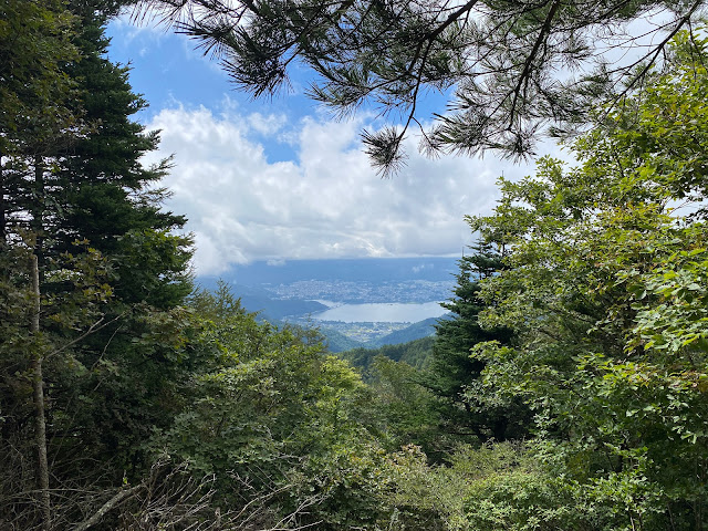
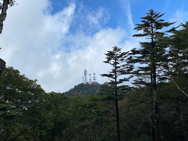
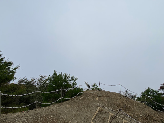
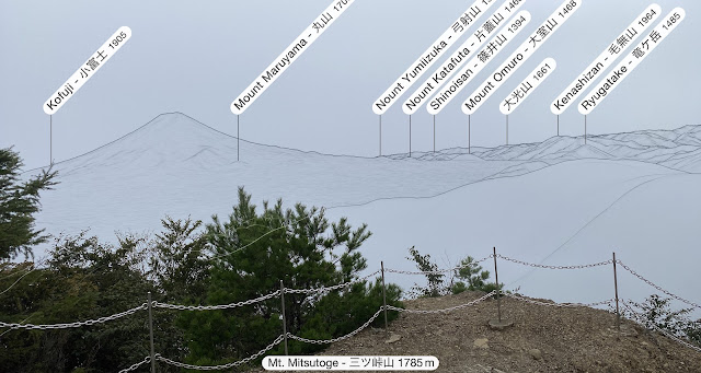
Thoughts/observations/recommendations: This is my third time to Mitsutoge and it is the third time that inclement weather has denied me any kind of view worth looking at. 😆 I'm told it is one of the best places to view Mt. Fuji, but I have to take everyone's word for that.
I chose this route basically to connect the dots on my map. The main mountain on the west side of this hike, Mt. Kurodake (黒岳), and the main one on the east side, Mt. Mitsutoge (三ツ峠山), are both worthwhile hikes in their own right. I spent a night on Kurodake and I recall that spot had one of the most wonderful views of Fuji. Mitsutoge, with the vantage point it has facing Mt. Fuji over Lake Kawaguchi, also is great. The stretch of trail between them could be skipped--unless you have O.C.D. like I do and feel compelled to hike every trail around all 5 of the lakes of the Fuji Five Lakes Region. 😜







Nice snake video - I am envious! I saw a small one a few weeks ago near lake Chuzenji but it slithered away before I could react.
ReplyDeleteSo many animals get by before I can react. Sometimes the decision is whether to risk losing seeing it at all by digging out the iphone or just to watch and give up trying to capture it.
ReplyDeleteI need to get back up to Nikko sometime. When I climbed Nantai, I forgot to get a badge. I try to get one whenever I do one of the 100 . . . I even called the shrine at the bottom of the mountain because I read somewhere about them mailing one to someone else who forgot to buy one. No dice. 😩
Indeed. By the time you pull that phone out and open up the camera app, it might be gone!
DeleteI didn't know about the badge thing. Are they the same ones they sell on Amazon?
Hi David, Same badges, I guess. I have seen some badges for sale online but not for Nantai. It's kind of silly when I think of it. BTW, that was a nice-looking trip up to Nikko.
DeleteThanks! hiking in Nikko is always wonderful.
Delete