Showing posts with label Saku. Show all posts

Mt. Morai~Akabanenoto~Yomohara


Location: Nagano Prefecture, Sakuho off Route 299

Starting and stopping point:  Forestry Road along the Kirikubo (霧久保沢) 

Peaks bagged: Morai (茂来山), Akabaneto (赤羽の頭), Yomohara (四方原山)

Getting there/getting around:  There is parking.  No public transportation.

Map:  The Yama to Kogen Chizu maps don't cover this hike but you can print a map of the area from this site: Where I parked next to the river

Weather Information: Mt. Morai's weather forecast

Total Time:  7:48 Break time:  :50  Distance:  18.9km/11.7mi

Elevation:  Lowest: 958m Highest:  1,717m Total Ascent:  1,630m Total Descent: 1,630m

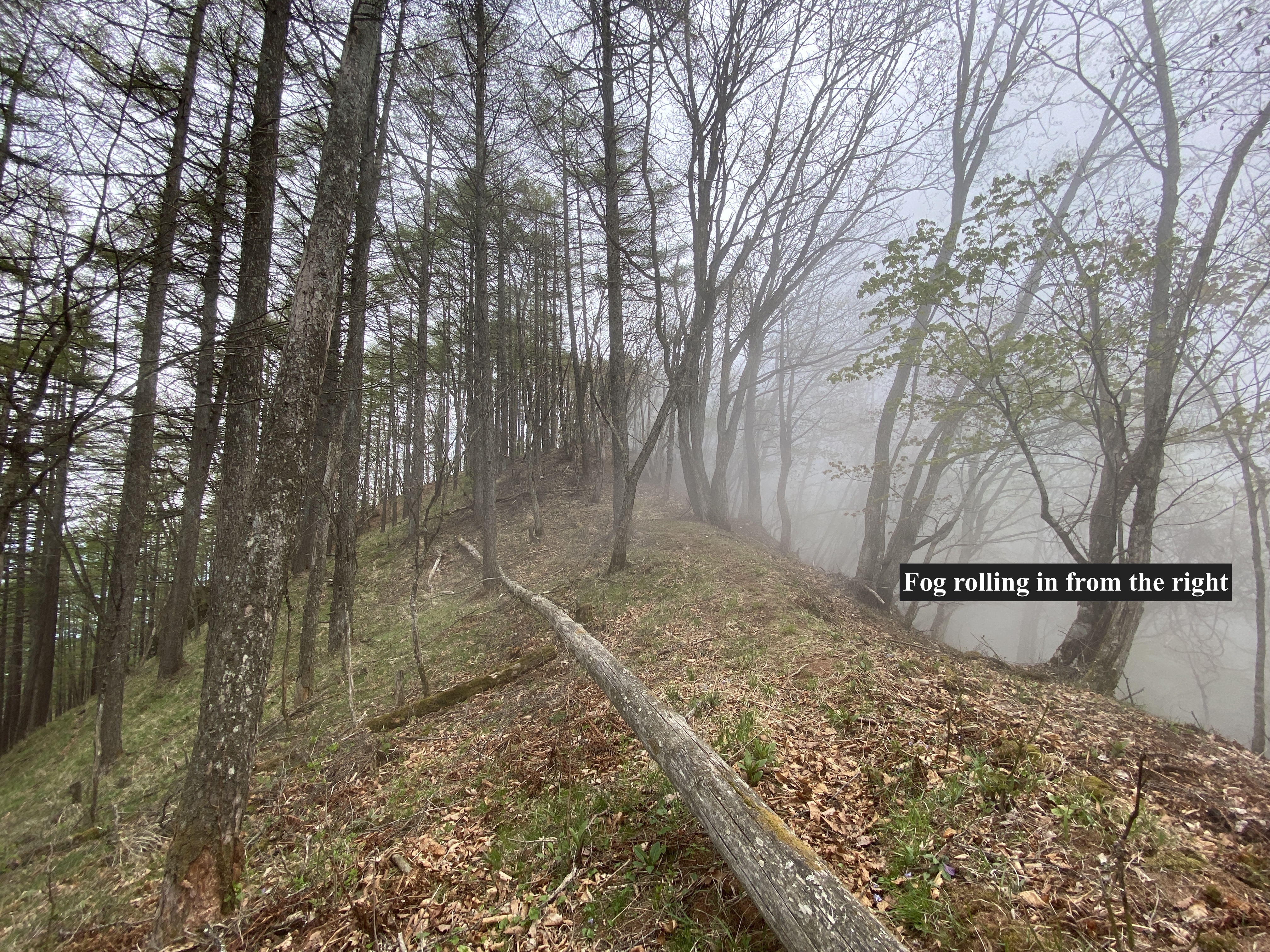
Technical considerations/difficulty:  The hike up to the first peak is steep but fairly straightforward.  It's very well-marked up to there. There are no chains or ladders.  From Mt. Morai to Mt. Yomopara also has no chains or ladders but, as the trail is less-frequented, is hard to follow in many places.  It's covered in leaves and there are no signs in some areas.  I relied on my GPS at more than one point.  Also, this portion of the trail is often on the narrow ridge top.  It's quite steep on both sides.  This hike is all below the treeline.  Because of the nature of the trail, progress was slow.  

Facilities:  There's a parking lot at the trailhead.  The trail follows a stream for quite a while so there is water available.

Thoughts/observations/recommendations:

This was fun.  It was not the most breathtaking mountaineering experience but it was still worth it.  Though it's not a major mountain it does have some prominence.  I noticed it looking out the window from school one day and knew it had to be conquered.  

I didn't see one other hiker on this hike.  :-)

The trail I took to Mt. Morai is a bit longer than the other options.  There are two other trailheads in the area that are closer to the top.

Just off the top of Mt. Morai, at a place with a great view of Yatsugatake, I saw the remains of a campfire and near to that a nice spot for a tent.  I'm sure the campfire is frowned upon but it is an attractive site for a wild camping experience.

Since this is not in the league of one of the 100 Famous Mountains or something like that, I'll keep the writing to a minimum and just put up some pictures.


The parking lot.  I parked and walked about 1km before I got here.  Google maps doesn't have this on its map and the steep road I was on seemed like it was getting a bit too off-roady for my little K-Car ("light car").  I could have made it this far, though.


The trail is very well marked up to the first summit.


The top of Mt. Morai


Mt. Morai has a nice 360 degree view.


Mt. Asama


With binoculars, I could just about pick out my house from here.
You can see the Cosmos Tower (that's a white rocket) in the Inariyama Park in this picture.


JAXA's Deep Space Research Dish


I'm glad I got an early start.  Rain was forecast for the afternoon.


Today's listening:

Bible in a Year

We Have Ways of Making You Talk

I listened to the first episode on the Battle of Luzon.  

Nostalgic Mystery Radio 

I listen to a lot of OTR (Oldtime Radio) podcasts.  Nostalgic Mystery Radio consistently has the best sound quality.
I listened to an episode of The Adventures of Philip Marlowe on this hike.  Hard-boiled action at its finest.  Haha.  I love Philip Marlowe.  I'm pretty sure he is the character that Phil Hartman modeled his detective character on.

"Crime is a sucker’s road and those who travel it wind up in the gutter, the prison, or the grave."


Well, cavedwellers, I think that's all for today.  Thank you for dropping by.  Subscribe, leave a comment, etc.  OK?


I finally got my boots on! Arafune, the floating carrier.


Greetings cave dwellers.

I've been living in Nagano for a few weeks now and have really been loving it but between the move and starting a new job, I haven't had much time to spend in the mountains beyond a few trail runs.  I finally got out about a week ago to a really nice mountain called Arafune.

The name Arafune (荒船) has the meaning of boat in it.  The flat shape of the mountain seems to make it look like an aircraft carrier navigating the rough "seas" of the clouds below it.


Cool, huh?


Location:  Mt. Arafune straddles the boundary between Nagano and Gunma.

Starting and stopping point:  Arafune Fudoson Parking Lot

Peaks bagged: Mitake (御岳) Kabutoiwa (兜岩) Tomoiwa (艫岩) Kaminashi (神無) Kyozuka (経塚) 

Getting there/getting around:  There is free parking.  I don't think there's any public transportation in the area.

Map:  Yama to Kogen Chizu #21 西上州 妙義山・荒船山

Weather Information: Arafune weather

Total Time:   4:07  Break time:   :11 Distance:  11km

Elevation:  Lowest:  1,074m Highest:  1,423m Total Ascent: 970m  Total Descent: 970m

Technical considerations/difficulty:  I didn't find it that challenging but other people on the internet are saying it is difficult.  There are some steep parts, but nothing too hairy as I recall.  Maybe my impression is psychological.  I was just so happy to be in the mountains that it felt like I was walking on air.  There are a few spots where people can rock climb.  Candle Rock (Rosoku Iwa) is one spot.  I didn't do any of that, though.  The trail between the highest peak, Kyozuka, and the most scenic spot, Tomoiwa, is especially flat.

Facilities:  Moldy emergency hut at Tomoiwa.  A picnic bench or two there.

Thoughts/observations/recommendations:  There are good reasons this mountain is on the list of Japan's 200 famous mountains.  The boulder formations are really cool and there are some great views.  

I think the hunters in this area must be particularly bad marksmen.  I have never before seen so many live deer at one time!  I'm sure I saw more than 20 in the span of less than an hour.  Check out the pictures and video in the post.

Highly recommend this if you get some time in this area.


I'm sure this rock has a name but I can't remember it.


I came up from that valley.


The biggest mountain near the middle of the picture is Mt. Asama, the volcano that erupted in 2019.  I can see it from my house.  

It must be climbed.  Soon.

These two surely have names, too.
I wonder if one of them is Shirley.


On the flat stretch from Kozuka to Tomoiwa, I kept running into deer.  I had to stop myself from stopping and taking pictures because I would never have made any progress if I'd continued doing that.


After passing all the deer, I came to Tomoiwa which has a great panoramic view.
BTW, Tomoiwa means "Stern" "Boulder."  Neat name.


Mts. Tateshina and Yokodake are both part of the 100 Famous Mountains.  I can see them from home, too.  I'm scheming about when to climb them now.


I took this from the street on my way home.  These hills are the ones on the eastern side of my route.


That's all for this post.

I got back from a camping trip last night and want to start working on that post.

Don't forget to subscribe and leave a comment.  Then again, it's ok if you don't.  I get enough endorphins from hiking.  I don't need to be an influencer.  🤓  Have a spectacular day.  Or not.  It's your choice.