Location:
Gunma and Nagano
Starting and stopping point:
Peaks bagged:
Toumino Kashira(トーミの頭) ~~ Kurofu (黒斑) ~~ Jakotsu (蛇骨) ~~ Sennin Dake (仙人岳) ~~ Nokogiri Dake (鋸岳) ~~ Yarisaya (槍が鞘) ~~ Kurumazaka (車坂山)
(First-time climbed) peaks #
xxx (none)
Getting there/getting around:
Free parking behind the visitor's center. There is a JR bus to the Takamine Hotel bus stop in front of the trailhead. It's 45 minutes to there from Komoro Station or 55 minutes from Sakudaira.
Map:
Yama to Kogen Chizu 19 浅間山軽井沢・長野原の山々ASAMA-YAMA KARUIZAWA-NAGANOHARA-MOUNTAINS
Weather Information:
Time
Total Time: 6:23 Break time: 2:05
Distance:
9.9km
Elevation
Lowest: 1,970 m Highest: 2,404 m Total Ascent: 768 m Total Descent: 768 m
Technical considerations/difficulty:
A bit steep at times but there are no chains or ladders, just a few ropes for guidance. The ridgeline from Yarisaya and Nokogiri is not a place I would want to fall.
Facilities:
The visitor's center is well-appointed. The Takamine Hotel has a commanding view of the plains below. There is an emergency hut near Mt. Kurumazaka in case the volcano erupts.
Thoughts/observations/recommendations:
What a great area this is. My recommendation? Go and hike there!
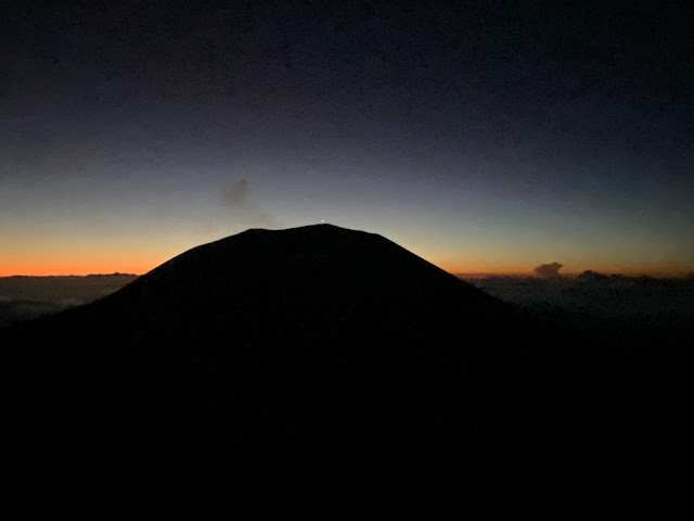
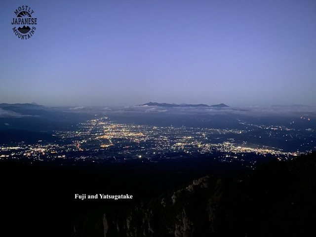
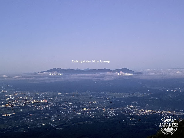
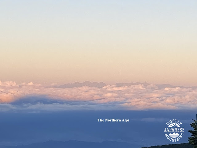
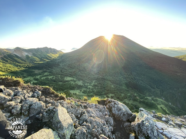
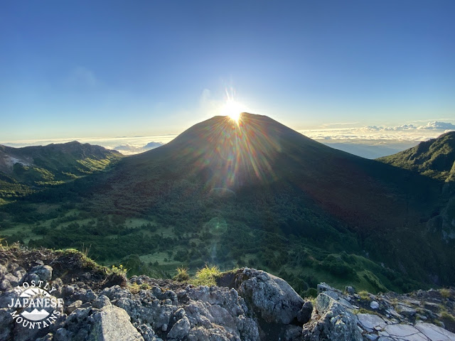
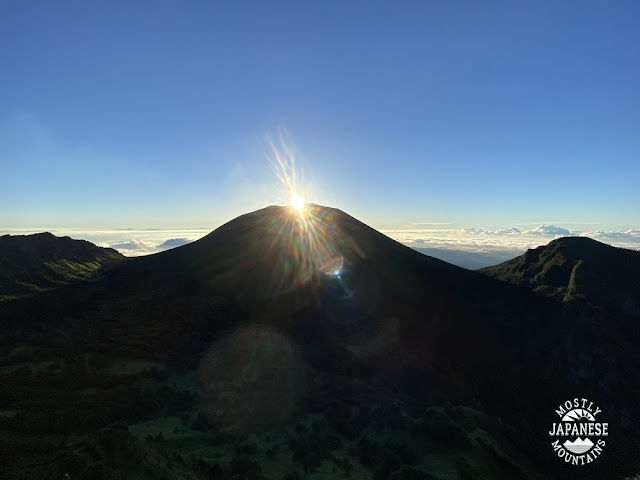
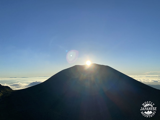
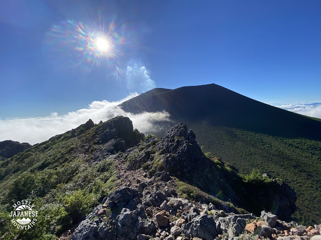
I found out about the diamond effect on Mt. Asama by coming across a flyer for a tour a few months ago. Armed with the date, time and location for viewing this sunrise, I took my friend Michael to see it on our own. In order to not get mixed in with the crowd, we started hiking earlier than the tour group. We got to the viewing point much earlier than they did. It was worth the wait, though. It was a great hike!
Today's listening:
My friend Michael talking.
The recon hike is here
Another one around Asama is here


