Showing posts with label 200名山. Show all posts

New boot goofing or bare-footing? Pick your poison. 200 Meizan, Mt. Ogura.


Location:  Mt. Ogura, Kitaaiki, Minamisaku, Nagano

Starting and stopping point:  Kitaaiki Parking Lot

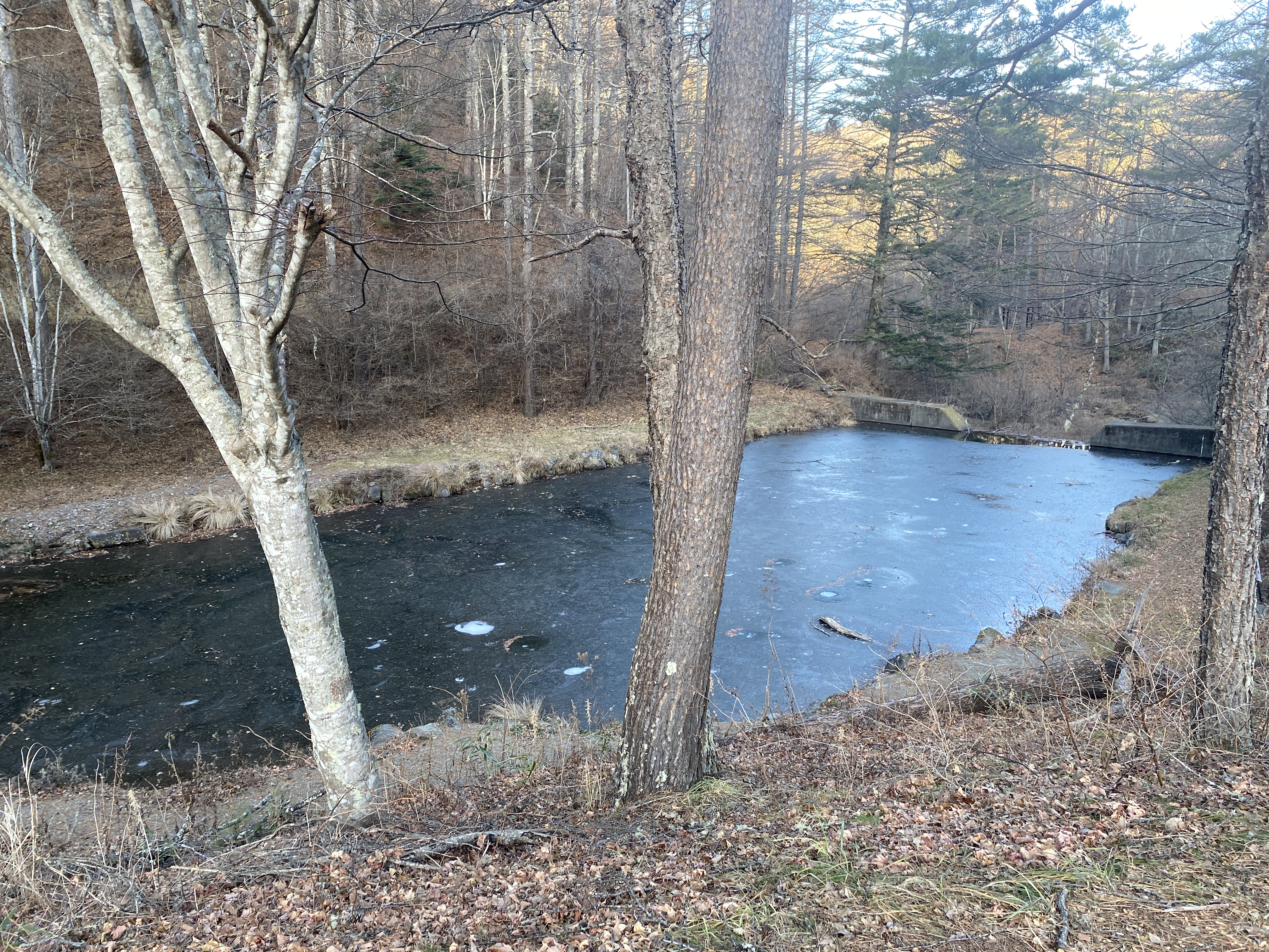
By the way, this parking lot is by the 長者の森 Campground.  ("Choja no mori" Campground)  I was curious about the name of this place.  The "no mori" part just means "forest."  That's easy to understand.  The "choja" part is the puzzling part of the name.  By itself, "cho" means long, and by itself, "ja" means person.  It's the same "ja" as in "ninja."

Together, though, what does the compound word mean?  Consulting my favorite Japanese-English dictionary was illuminating.

There are four possible translations of choja.  While the first three that appear in the dictionary are auspicious, the fourth is downright scandalous.  😆 👢👯  

(n) (1) (ちょうじゃ only) millionaire; (n) (2) one's superior; one's elder; one's senior; (n) (3) (arch) virtuous and gentle person; (n) (4) (ちょうじゃ only) (arch) female owner of a whorehouse in a post town

"Millionaire" to "madame", OK.  I think the progression is usually in the other direction.

By the way, if Mrs. Caveman asks, let's just tell her choja means millionaire and leave it at that, ok?  Thanks.

Peaks bagged: 前衛峰 (Zeneimine) ~~ 御座 (Ogura) ~~ 前御座 (Maeogura) 

(First-time) peaks #842, 843 and 844

Getting there/getting around:  I drove.  There is a municipal bus from Koumi Station to Sanzunki (三寸木バス停) Bus Stop for 100 yen.  From there, it is a 45-minute walk to a trailhead.  That isn't the same trail I used, but it's in the general vicinity.  n.b. the same place that contained that bus information recommended staying overnight if using public transportation because of the time needed.

Map:  Yama to Kogen Chizu #21 西上州 妙義山・荒船山

Weather Information: Mt. Ogura's weather forecast

Total Time: 5:47  Break time: 1:07  Distance:  11.5km

Elevation:  Lowest: 1,240m Highest: 2,112m Total Ascent: 1,235m  Total Descent: 1,235m

Technical considerations/difficulty:  It's steep and there are some places with chains.  Most of it is below the treeline.

Facilities:  The Chojanomori Campground is seasonal.  I was the only person there.  I assume that during the camping season public restrooms are available.  On the mountain, the only facilities I encountered were the refuge hut just off the peak.  There is no restroom there.  There is no water on the trail.

Thoughts/observations/recommendations:  Mt. Ogura (御座山) was the target for this hike.  A few months back I spied it from Yatsugatake and thought it looked cool.  It is cool.  Mt. Ogura is one of Japan's 200 Famous Mountains.  The mountain's name is, like many Japanese mountain names, difficult to read and to understand.  Most Japanese people won't know how to read this unless they look it up in some mountain glossary.  The name is similar to the word used for the emperor's throne and is said to have been named as a place where gods would come and sit. 


Today's listening: 

Bible in a Year Hard to believe that this audio trip through the bible will wrap up in a few weeks.  I've read the bible through a few times.  Listening to it was a bit different.  And obviously less labor-intensive!

Fighting Through Dunkirk, Pt. 1  I love the Fighting Through podcast.


I know how Julia Roberts felt when Richard Gere took her shopping on Rodeo Drive.  I had two new pairs of boots arrive yesterday!

(The Columbias on the left are my go-to 3-season boots.  I go through a pair of these each year.  I get about 400 km (250 miles) out of them and they don't cost much more than $100.  The Salomons are a new addition.  They are serious cold-weather boots.)

Yesterday, when I laced them up, I was new boot goofing like Lt. Jim Dangle.


On to the hike.  This is at the beginning, at the Choja no Mori trailhead.

Even though it was unseasonably warm, the ponds in the area had some ice.  I saw one pond with ice thick enough to walk on.


Nice day!


The Ogura Refuge Hut


The silver thing seems to be rescue apparatus.  That's good to know.


Mt. Kitadake, near the middle of the picture, is Japan's second-highest mountain and is in the Southern Alps.
Mts. Gongen and Akadake, on the right, are at the southern end of the Yatsugatake range.


This is looking south from the peak of Ogura.  Those are some of my favorite mountains.
(They're all my favorites, truth be told.)


Looking west toward the Northern Alps

Looking north.


Looking east


At the top of Ogura, I was enjoying my new boots when I spotted this group and their unusual footwear.  I thought it strange that they removed their shoes for a break.  Not so.  They hike without boots!

It turns out they are really into not wearing shoes and have a business spreading their message.  Their business touches on ecotourism, sustainability, barefoot walking/running, etc.  They do much more than I could hope to explain in this space.  Their website is here.  (Japanese)


I have to say that I have met some really interesting people in the mountains!

This is the peak of Mt. Maeogura.  No view from here.


I dropped by the big peak one more time on the way back to the car.


One last shot before getting to the car.


Well, that's it for today.

Did you subscribe yet?  That button is hanging around somewhere.  Maybe on the right side of your page.

Anyway, have a good one.

Caveman out.


Revenge on the boat. Second time to Arafune. Peak #751


S'up, cave dwellers?  It's a glorious spring here in Nagano.  Last month I got to Mt. Arafune for the first time.  This week I dropped by again from a different trail.  It was great.  

Location:  Straddling the prefectural boundary between Gunma and Nagano.  Saku City, Nagano and Shimonita, Gunma.

Starting and stopping point:  Minaminomaki Parking Lot

Peaks bagged: Mt. Kumakura (熊倉峰)

Getting there/getting around:  There is a parking lot for 4 or 5 cars at Minaminomaki.  There is also a large lot at the Arafune Trailhead.

Map:  Yama to Kogen Chizu #21 西上州 妙義山・荒船山

Weather Information: Arafune Weather

Total Time: 3:49  Break time:  30 Distance:  9.4km

Elevation:  Lowest: 1,063m Highest: 1,342m Total Ascent: 956m  Total Descent: 956m

Technical considerations/difficulty:  Much of this hike is below the treeline and on a gentle trail.  There are some steep spots with chains or ropes, but not too much exposure.  The viewpoint at Tomoiwa is not somewhere I would like to fall from--but you'd have to be pretty dumb to get close enough to the edge to fall off!

Facilities:  There are portapotties at the Uchiyama Pass Parking lot.  There is a waterhole not far from the top.  It looks a bit dangerous to access, though.  There is an emergency hut at the Tomoiwa.

Thoughts/observations/recommendations:  This was my second time to the area.  The last time I went from the south, this time from the north.  I had hoped to obtain some better views looking up at the Tomoiwa from this side.  In fact, I did, but I do wish that there was more to see along the way.  The Tomoiwa (the big rock) was only visible from the trail once or twice.  The view looking out from that point is spectacular, though.  The trail was fairly pleasant but for most of the hike, trees obscured any views.

Here are some pictures:


One of the precious few views of the Tomoiwa (Tomo Boulder) from the trail.


Much of the trail was like this.  Pleasant.

The Arafune trailhead at Uchiyama Pass.  Large parking lot.  Portapotties.

Arafune Trailhead


More gentle trails


It was heavy.


Better call Brother Maynard!


Tomoiwa 艫岩


Today's listening:  

Bible in a Year  "In The Bible in a Year podcast, Fr. Mike Schmitz walks you through the entire Bible in 365 episodes, providing commentary, reflection, and prayer along the way."  Very listenable.

For You The War is Over  True WWII POW escape stories.

BBC The People Against J Edgar Hoover  15 minute episodes about Hoover's history.


Well Cave Critters, that's all for today.  Have a great spring or summer or winter or fall--whenever it is you happen to be reading this.  Subscribe, leave a comment, tell your friends, buy me a coffee, etc.  More soon.