

Location: Mt. Takao
Starting and stopping point: Takaosanguchi Parking Lot
Mountains climbed: Takao
Getting there/getting around: The nearest station is Takaosanguchi on the Keio Line. Free parking is available for bicycles and motorcycles smaller than 125cc.
Map: Yama to Kogen Chizu #28 高尾・陣馬 TAKAO・JINBA
Weather Information: Takao Weather
Distance: 8km
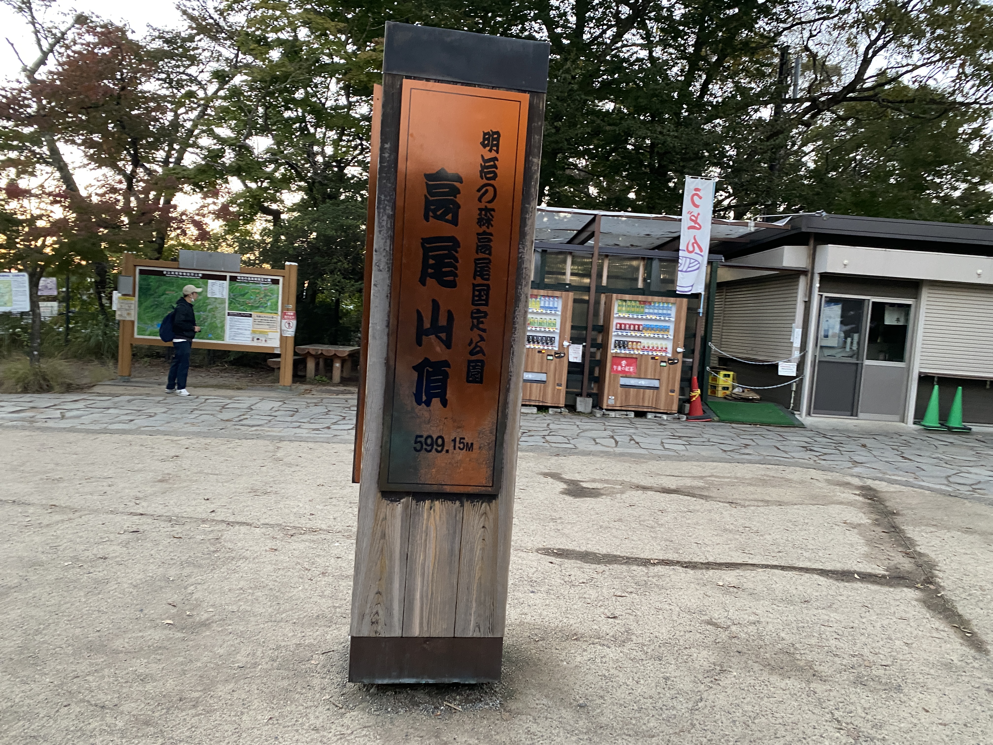
Elevation: Lowest: 188m Highest: 599m Total Ascent: 499m Total Descent: 499m
Technical considerations/difficulty: This isn't a long hike but it is steep. I wouldn't suggest running here at peak tourist time. Takao is a very popular mountain. The route I ran is paved. Many trails on Takao aren't.
Facilities: Lots. Public restrooms. Free water. Monkey park. Beer garden. Cable car
Thoughts/observations/recommendations: I wanted to see the sunset so I ran up after work. If you do this, bring a flashlight. There is no light on much of the trail. Also, after dark, some of the paved walkways through the shrines and temples are closed and you have to run through the woods.
It was a nice run. We've had so much rain and clouds these days. I was so happy to have some nice weather.
On the way up, I ran into my friend, Caleb who happened to be gazing out at Tokyo down below. Readers of this blog know Caleb. He is the guy with the famous boots from our trip to Kamikochi in August. https://mymancaveisthemountains.blogspot.com/2022/08/broken-boots-in-kamikochi-mt-hotaka-one.html He took a picture of us. If he sends it to me, I'll post it.
He did. Here it is.

That's all. Here are some pictures.


No comments:
Post a Comment
Have a comment? Please, keep it clean.