
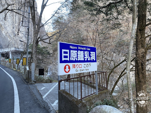
Greetings cave lovers. Today was a day that started, appropriately enough, at a cave. This is the Nippara Limestone Cave. You can reach it by bus from Okutama Station.
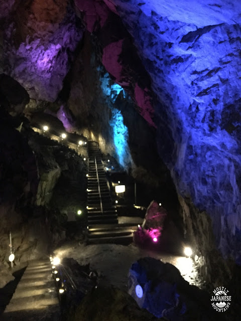
I didn't actually go in the cave this time. This picture is from the day I did go into the cave. This was in July several years ago. It was a superhot day, so I almost froze to death. Seriously, I thought I was going into hypothermia. I had taken my bicycle the 40-odd kilometers into the mountains to this cave and I was really hot and sweaty when I went in wearing just my shorts and a soaking wet t-shirt. Being a cave, it was cool. It felt like I was in a freezer.
Their site is here: http://www.nippara.com/nippara/syounyuudou/syounyuudou.html
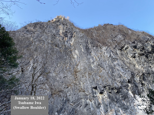
Today, the cave was just my starting point for my hike. These two boulders in the first pictures are right next to the cave entrance.

The trail starts with the red stairs at the bottom of this picture. That building is part of a temple/shrine complex the trail passes through.

The trail I chose today is the dotted one I circled on the map below. Dotted trails are not so well-marked or maintained. The trail was fairly slow-going but not that difficult to follow. There's quite a steep ascent for a bit and it gets a bit more gentle as the trail follows a ridge. I went from the bottom right in the picture to about the place on the map marked with an exclamation point and then turned around.

The second mountain I passed over, 金袋--"kane-bukuro", made me laugh. It means "sack of gold." I didn't see any rainbows or leprechauns around, though.
It was a pleasant day for hiking. Temps were between -4C~5C. Not too cold.
There wasn't much snow and there wasn't much scenery. This ridge is hidden a bit between two higher ridges so there were precious few long-distance views. Those ridges seemed to have gathered quite a bit more snow on them than the one I was on. I didn't need my crampons.
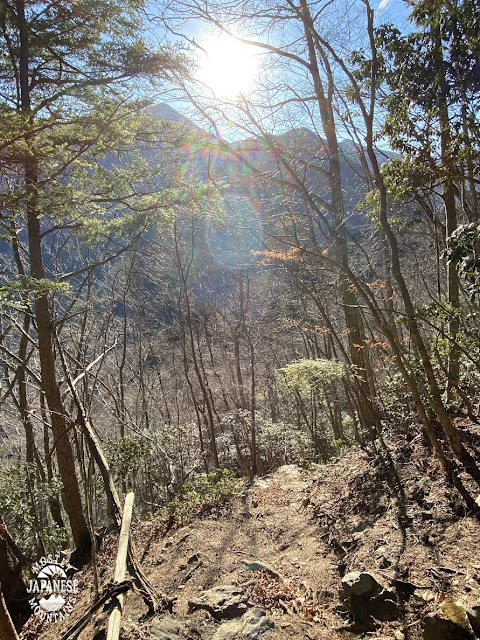
This picture is the only unobstructed view I got all day.

The trail looked cool. Lots of rocks that reminded me of the Shire.

The good thing about hiking an out-of-the-way trail like this is that there are no other hikers. The only life forms I saw was a rangale of deer.
This is today's path. Like I said, it was slow-going. This took nearly 6 hours to go about 10 km. Last week I went 48 km just a little over double that time.

As I mentioned above, you can get to this area by bus from the Okutama Station. There is also trout fishing at several spots in this area.
Where to go next? According to this app, apparently, I've climbed almost 500 mountains! Where should I go for #500?


No comments:
Post a Comment
Have a comment? Please, keep it clean.