Hello cave-dwellers and casual spelunkers.
For the last hike of 2021, I dropped by Sagamihara City in Kanagawa to tackle a trail I'd had my eye on for a long time. I'd wanted to climb Mt. Yakeyama since 2019. (Yakiyama? I've seen it written both ways.) The trail was closed due to typhoon damage most of that time.
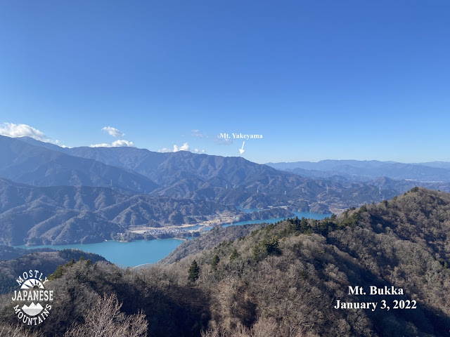
The view from Yakiyama (Yakeyama?) was great. It was there that I spied Mt. Bukka and decided that it had to go on the bucket list.
So, I went back to the area and climbed Mt. Bukka yesterday.
For this hike, I started at this park near the Miyagase Dam. I didn't actually know this park existed until I was passing by it on my way to the other side of the dam where I had initially planned to start.
This park is run by the Kanagawa Prefectural government and looks like a great place for a picnic or some kind of family outing. There are wide open areas to play on the grass, flowerbeds, gardens, an "adventure forest" and the dam nearby. It looks like a nice place to spend a day.
The park's website is here. http://www.aikawa-park.jp/
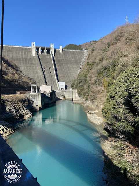
The park is part of the dam complex.
This picture is from the dam. There are lots of exhibits in the dam but they were closed when I was
there--and I was only interested in passing from one side to the other anyway.
If you are interested in learning more about this dam, check out this blogpost I found. It's very detailed!
https://adventureyokohamacitizenforest.blogspot.com/2019/04/i-love-dam-ver2-miyagase-dam.html
Just about the first thing I encountered on the trail was this sign. I can attest to its veracity. They aren't kidding. See this post if you want proof.
https://mymancaveisthemountains.blogspot.com/2021/08/if-theres-anything-in-world-i-hate-its.html
(The word for leech in Japanese, 蛭, is pronounced like "hiru". The highest mountain in the area is 蛭ヶ岳, Mt. Hiru. I mentioned this interesting factoid to an old guy I met on the trail yesterday and he tried to tell me that the "hiru" of the mountain's name is a different word than leech, that the Japanese character pronounced "hiru" for the mountain really is a Buddhist word. I can read enough Japanese to know he's full of it, though. It's not the first time Japanese people have tried to gaslight me about mountain information. Another time another old guy tried to tell me there was no mountain named Tanzawa when we were both looking directly at it. Sheesh.
I didn't tell either of these guys what I knew. I just said "ah so.")
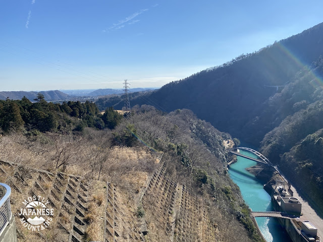
This is on the way up the trail.
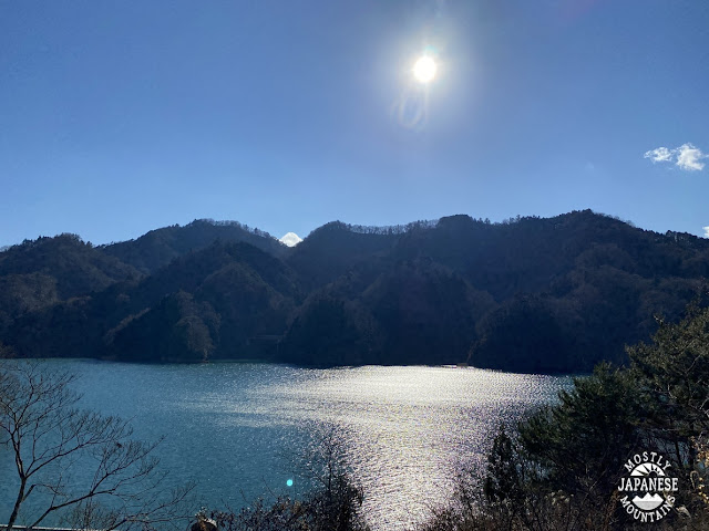
And this is when I was walking back along the road. I got lots of great views of the lake.
You may notice that my trail was in something of a figure 8 pattern. That is because the road that I returned along didn't intersect the mountain trail as I assumed it would. I couldn't close the loop as I hoped. That was a pretty dumb mistake. The road passed under the trail in a tunnel and I had to walk an extra few miles before I reached a roadway which looped back to the Aikawa Park. It's a good thing I like walking!
Getting there/final thoughts
Public transportation to the dam or a trailhead would be very difficult. You could get to the dam from Sagamiko or Hashimoto in about an hour after a few bus transfers. Alternatively, you could get to a trailhead for Mt. Bukka (quite far from the dam) after a 45-minute bus ride from Hon Atsugi.
Car or bike are better bets. The dam/Aikawa Park are accessible from Route 412 in Sagamihara. It's about 30 minutes by car from Hachioji.
The park, the dam and even the mountains offer a great opportunity for leisure suitable for all ages. The mountains are not very high. Not only did I see grandparents and small children, I even saw some pets on the trail. I do think that wasn't the best idea, though. I saw one guy hand-carrying his dog up the trail! Poor little Fifi couldn't handle it, I guess.
See you again soon.


No comments:
Post a Comment
Have a comment? Please, keep it clean.