Howdy doody, cave dwellers. Welcome back to my place.
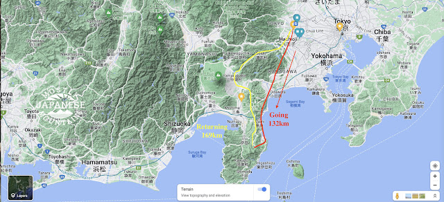
Yesterday I went for my first hike in what seems like years. Actually, it's been less than 3 weeks since my last real hike, but I was itching to get out. Yesterday was the first day of my summer vacation so I wasn't going to let the opportunity go. On a whim, I chose to head down to the Doshi Mura (Doshi Village) area of Yamanashi to connect some lines on my map. Yesterday's destination had less to do with seeing a special vista or challenging peak as it was just about putting on some miles.
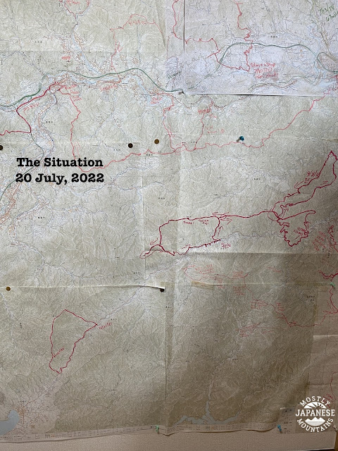
One room in our house is my cave away from my mancave. It's the map room. The better part of three walls of it is covered with maps on which I trace where I have hiked or biked. The pictures below are of one part of the maps that have not been marked up as much as other parts.
The maps in the picture are of the Doshi Village in Yamanashi. The Doshi River runs southwest to northeast from Doshi Village up to Sagami in Kanagawa. To its southwest is Lake Yamanaka and beyond that is Mt. Fuji. Doshi Village has the distinction of having the highest density of campgrounds in Japan. Doshi Michi (Michi means street or road.) was the scene for most of the bicycle road race in the 2020 Olympics. Doshi is a lovely area but it is kind of hard to get to and the Doshi Michi is the only way in or out. 2 or 3 times I have tried to ride my bicycle from my home to Lake Yamanaka but was turned back each time because of road closures. The 2019 typhoon made the road impassable for a long time. The Olympians may have been delayed by COVID, but at least the roads were open when they did come.
But I digress . . .
Anyway, I like to connect the dots on my hiking excursions. It's kind of like thru-hiking by stages. I want to mark up those blank spots on the map. The area I decided to concentrate on now is marked by the oval.


