Howdy doody, cave dwellers. Welcome back to my place.
Yesterday I went for my first hike in what seems like years. Actually, it's been less than 3 weeks since my last real hike, but I was itching to get out. Yesterday was the first day of my summer vacation so I wasn't going to let the opportunity go. On a whim, I chose to head down to the Doshi Mura (Doshi Village) area of Yamanashi to connect some lines on my map. Yesterday's destination had less to do with seeing a special vista or challenging peak as it was just about putting on some miles.
One room in our house is my cave away from my mancave. It's the map room. The better part of three walls of it is covered with maps on which I trace where I have hiked or biked. The pictures below are of one part of the maps that have not been marked up as much as other parts.
The maps in the picture are of the Doshi Village in Yamanashi. The Doshi River runs southwest to northeast from Doshi Village up to Sagami in Kanagawa. To its southwest is Lake Yamanaka and beyond that is Mt. Fuji. Doshi Village has the distinction of having the highest density of campgrounds in Japan. Doshi Michi (Michi means street or road.) was the scene for most of the bicycle road race in the 2020 Olympics. Doshi is a lovely area but it is kind of hard to get to and the Doshi Michi is the only way in or out. 2 or 3 times I have tried to ride my bicycle from my home to Lake Yamanaka but was turned back each time because of road closures. The 2019 typhoon made the road impassable for a long time. The Olympians may have been delayed by COVID, but at least the roads were open when they did come.
But I digress . . .
Anyway, I like to connect the dots on my hiking excursions. It's kind of like thru-hiking by stages. I want to mark up those blank spots on the map. The area I decided to concentrate on now is marked by the oval.
This marks what I did yesterday. I'm planning to go back tomorrow and mark up some more of the offensive blank spots.
I take my inspiration from Maria von T. "Climb every mountain" 🎵🎵
This is what it looked like on google earth.
Speaking of google earth, there's a new place I heard about the other day in Delaware. It's called Brandon Falls. Look it up on google earth or googlemaps.
The animation
The details:
Getting there: This time I parked my scooter near the Ooguri Bus Stop (大栗バス停) and hiked from there.
There are ample bus stops along the Doshi Michi but the buses all depart from the southwest. Like I said, it's not so easy to get to the area. This is why there are still so many blank areas on my maps of this area!
If you want to get there by public transportation from Shinjuku, you have to go way around it to the north and turn south at Otsuki passing to the west of Doshi Mura toward Kawaguchiko. THEN you can take a bus to head northeast to Doshi. The shortest time to do this is 3 hours and 46 minutes. Most options take 4.5~5.5 hours. My home to where I was yesterday is 37km as the crow flies. Were I to take public transportation, it would be a trip of 103km.
The trail: On this trip, I hiked about 17 km (a little over 10 miles) in about 6.5 hours. There are several trails up to the ridge so you could shorten or lengthen this hike to your tastes. It's not that high, I don't think there was any point over 1,300 meters. There isn't anything extreme or scary. There are no ladders or chains. I didn't even need gloves. Although most of this was a ridgeline hike, I was surprised at how much change in elevation I experienced. The trail undulated so much that I ended up rising and falling about 1,600 meters. (That is about a mile for any Americans reading this.) That is a fair amount of change in elevation. My ankles did feel a bit rubbery by the end.
If you're interested in the area, but not in hiking every part of it, I suggest going a bit farther to the south to Mt. Mishotai. That has a great view as it is closer to Fuji.
Facilities: Nothing. No water. No public toilets on the trail. Plenty of onsens in the area. There are many campgrounds but no restaurants. No convenience stores. Make sure you have gas, too, if you're driving. There is one gas station but I think it was closed.
The hike:
One of the best things about this hike is that I didn't see anyone. Not one soul. I love that. I was a fan of social distancing before it became cool. Unfortunately, since the trail isn't used that much, it doesn't get any maintenance. They were many spots like this that were overgrown with grass and ferns.
Critters.
There were a lot of bugs on this trip. So much so, that I didn't stop for anything. I ate and drank on the move because the bugs were ubiquitous.
If anything is going to kill me in the mountains, it will probably be a frog or a snake. Not from their venom; I'll just be scared to death. Frogs and snakes always give me a start and I'm afraid they'll make me jump off a cliff.
I don't know what kind of snake this is. Perhaps a baby mamushi. The markings don't seem right, though. Do any of you know?
Fuji appeared at just 2 or 3 spots on the trail.
Looking east toward the Tanzawa Range. The biggest mountain in the picture is Mt. Omuro, if I recall.
Not very photogenic, but pleasant. Much of the trail was like this.
I pondered these splintered signs for a while. Was it a sasquatch? Did Yogi throw a temper tantrum?
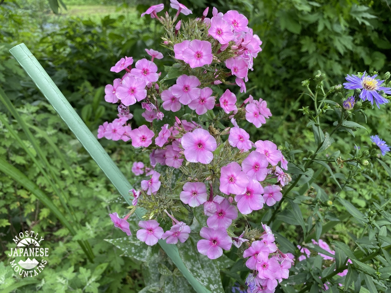
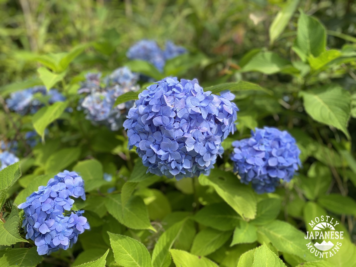
Exiting the mountain into the neighborhood I was treated by the fruits of the labor of the locals' green thumbs.
Bucolic.
Cubolic
Oh, yeah. That's the ticket. My dogs were yelping after that day.
Come back again soon.
Take care of yourself and those you love.
Don't be afraid to press the "support me" button. 🙏 I'm hoping to hit one or two of the big boys next month and would appreciate some help to defray costs. I'm told mountain rescue 🚁 is prohibitively expensive here. 🤣


No comments:
Post a Comment
Have a comment? Please, keep it clean.