I lied.
I said the other day that I would not be hiking for a while but I went for one last hurrah on my last day of vacation. Blame Mrs. Caveman. She asked me the night before, "Are you going hiking tomorrow?" I hadn't planned on it until that moment.
I wonder if she was trying to get me out of the house, or if she just knows me better than I know myself. The last time she did this was last year. "Are you climbing Fuji this year?" I wasn't even thinking of it until that moment but found myself suddenly overtaken by the urge to climb Mt. Fuji.
The weather was still overcast yesterday, as it's been the past few weeks--until the last hour or so of my trek.
Fate is cruel. I'm going back to work this morning and the sky is blue and the birds are singing. Grrr
Location: Around the Yachiho Kogen. Sakuhocho and Koumi. The area just north of the Mugikusa Pass
Starting and stopping point: Yachiho Kogen Nature Park
Peaks bagged: Yabashira (八柱山) ~~ Shimakare (縞枯山) ~~ Chausu (茶臼山) ~~ Nakakoba (中小場)
(First-time) peaks # 809, 810, 811, 812
Getting there/getting around:
I drove. I parked at the Yachiho Kogen Nature Park.
There are buses to the area. From Chino Station, a bus takes about an hour and 5 minutes to Mugikusa Pass. I DIDN'T START OR STOP HERE, but I did go by the pass on my hike, and that is as far as the bus from Chino goes. This route runs from July through October (2023)
From Yachiho Station, there are buses run by the Chikuma Bus Company. Find a Japanese friend (or ask me) for help puzzling through their very limited timetable.
Map: Yama to Kogen Chizu Yatsugatake Map
Weather Information: Mt. Shimakare
Total Time: 6:32 Break time: :09 Distance: 19.3 km
Elevation: Lowest: 1,585 Highest: 2,403 m Total Ascent: 1,055m Total Descent: 1,055m
Technical considerations/difficulty: No serious chains or ladders. You have to watch your step around boulders.
Facilities: Nothing to speak of on the trail. No water, no toilets. There are many campgrounds/ski areas in the area. The Yachiho Kogen Nature Park, where I started, has a mallet golf course.
Thoughts/observations/recommendations: I saw and heard lots of deer. Saw a lot of tracks of various critters. I was startled a few times by pheasants. There was one wild animal I saw for the very first time up here in the woods. A bunny rabbit! I've seen lots of animals, but that was my first bunny.
Today's listening:
Napoleonicist I listened to the episode about Napoleons's Spy. I'm not really a fan of Napoleon but this discussion with a novelist about a book he wrote about the Russian campaign was interesting.
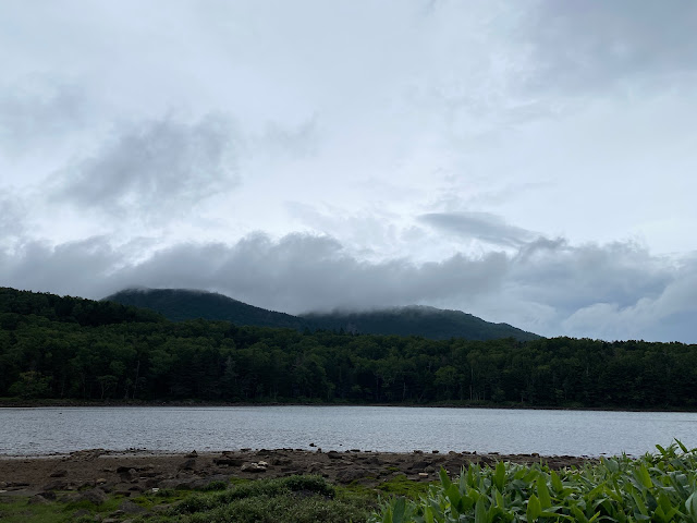
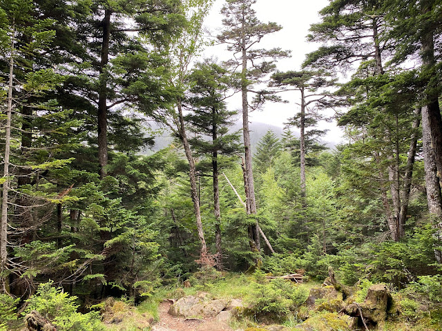
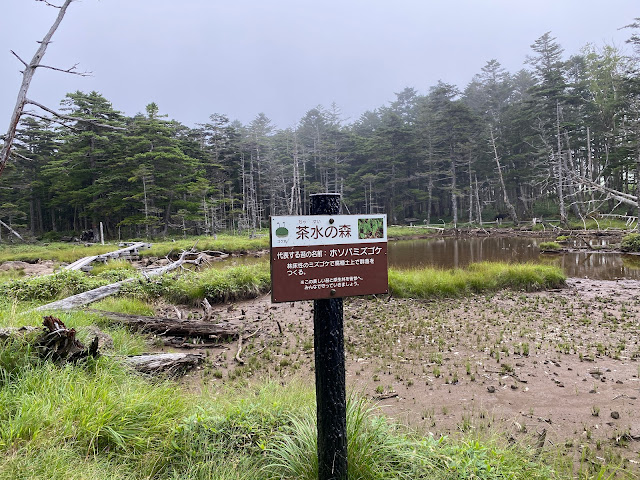
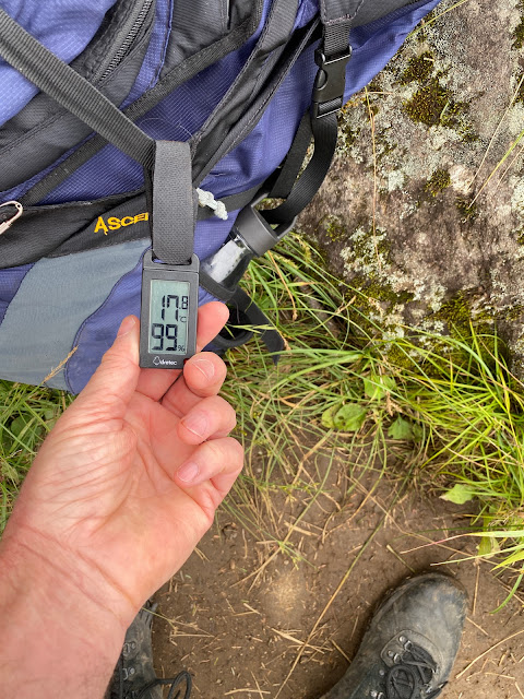
Here are some pictures. I didn't get any vistas during the day. Sorry.


