
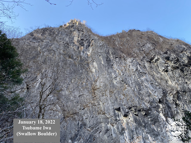
The picture says it all.

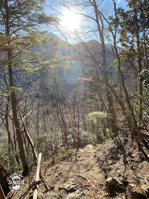
The picture says it all.
 I'm the caveman. My mancave is the mountains. Google dislikes me so nobody can find my blog. I keep doing it though, because I want to remember all the great places I've been able to see and I have a bad memory.

.JPG)


 I'm the caveman. My mancave is the mountains. Google dislikes me so nobody can find my blog. I keep doing it though, because I want to remember all the great places I've been able to see and I have a bad memory.
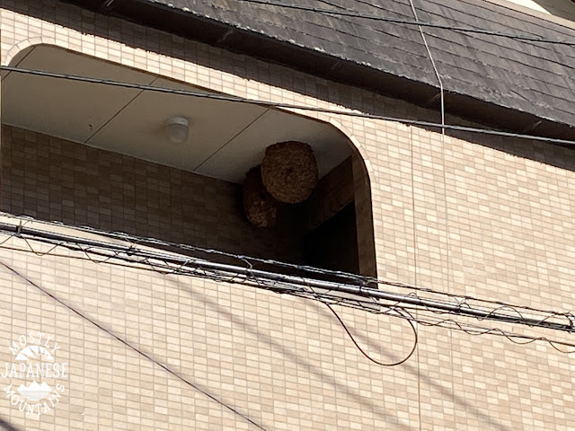
A nice walk from Okutama Lake to Okutama Station. Pleasantly surprised to see not one but two kamoshikas on the way.
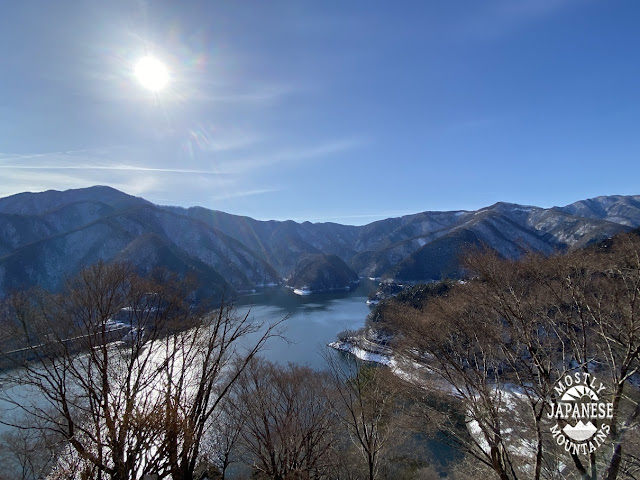
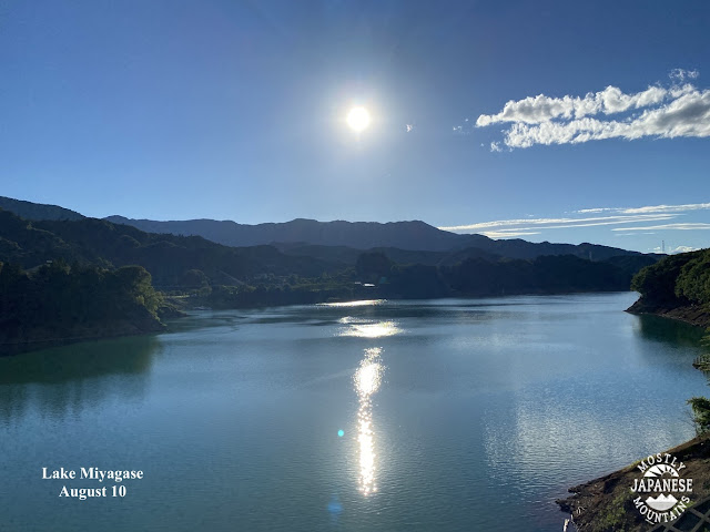
This is Okutama Lake, a major source of Tokyo's water supply. It was created by damming the Tama River in 1957.
I took a bus here from Okutama Station. My plan, basically, was to walk along the Okutama Mukashi Michi from the lake back to the station. Muskashi means old. Michi means road. One way to translate it would be "The Old Okutama Road". Mukashi has another use, though. Japanese fairy tales always begin with "Mukashi mukashi"; ie, "Once upon a time."
Before actually going to the Mukashi Michi, I wandered around the dam and took a few pictures. Then I headed uphill behind the Okutama Water and Green Friendship Hall to check out those trails. There are a lot of switchbacks up a steep, southeast-facing slope and it offered some really spectacular views of the lake as the morning sun rose higher and higher over it.


 I'm the caveman. My mancave is the mountains. Google dislikes me so nobody can find my blog. I keep doing it though, because I want to remember all the great places I've been able to see and I have a bad memory.


 I'm the caveman. My mancave is the mountains. Google dislikes me so nobody can find my blog. I keep doing it though, because I want to remember all the great places I've been able to see and I have a bad memory.


 I'm the caveman. My mancave is the mountains. Google dislikes me so nobody can find my blog. I keep doing it though, because I want to remember all the great places I've been able to see and I have a bad memory.