Location: Shimonita, Gunma
Starting and stopping point: Side of the road
Peaks bagged: Mt. Akiya (秋葉山)
(First-time) peaks #863
Getting there/getting around: Car
Map: Yama to Kogen Chizu #21 西上州 妙義山・荒船山
Weather Information: Mt. Arafune's weather (not too far away)
Total Time: 3:05 Break time: :13 Distance: 6.59km
Elevation: Lowest: 456m Highest: 861m Total Ascent: 633m Total Descent: 639m
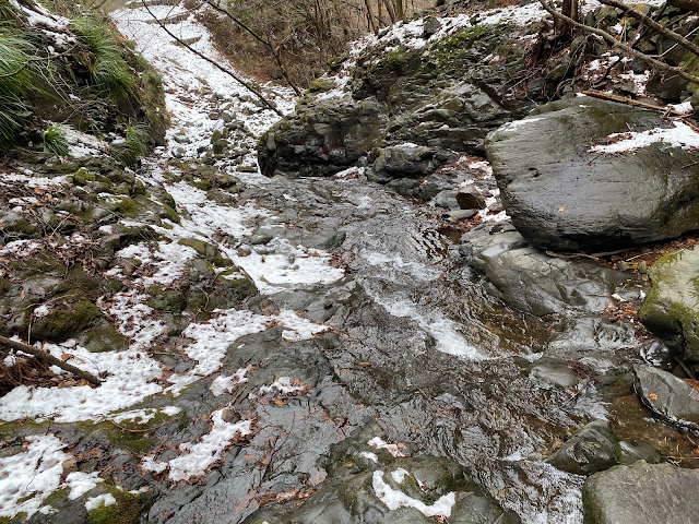
Technical considerations/difficulty: Very steep. I mean, very steep. There is only one place with a rope; I wish there were more. You don't want to make a misstep here. I have no idea what the trail looks like in non-snow seasons, but there is very little signage and not so many pink ribbons to follow. A working GPS is a must.
Facilities: Nothing
Thoughts/observations/recommendations:
We got some snow last night and I got out of work early today so I picked one of my shorter hiking plans and headed to the hills in hopes of possibly using my snowshoes and also of catching some nice snowscapes. I didn't use the snowshoes; crampons were more suitable today. Unfortunately, it warmed up too much during the day and there was a lot of melting going on. Thankfully, there wasn't an avalanche.
I had planned on this trip to tackle Mt. Akiya and nearby Goshuyama but prudence dictated putting the second mountain off for a day when I have more time available. This area, like much of Gunma and a lot of Saitama demands a lot of respect. There are a lot of hills here that, although they are low in elevation, are very rugged. It's not the type of place you can rush.
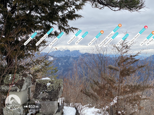
Still, I was glad to put a few more miles on my hiking boots today and to get some nice views of snowy mountains. The caves here are cool, too!


No comments:
Post a Comment
Have a comment? Please, keep it clean.