Elevation: Lowest: 169m Highest: 855m Total Ascent: 1,700m Total Descent: 1,748m
Technical considerations/difficulty: There are no ropes, chains, or ladders. This is basically just walking in the woods. There are steep parts, but nothing too strenuous.
Facilities: On weekends, there are tea houses serving food and selling t-shirts, etc. as well as public restrooms on Mts Jinba, Kagenobu and Shiroyama Kobotoke. There is a restroom on the map at Myootoge, but I think it's out of commission.
Thoughts/observations/recommendations: I really enjoyed this hike. I do like these mountains better on weekdays, though. I'm spoiled because I'm used to having these mountains to myself. On the one hand, it was nice to be there when the tea houses are open for business and to experience a bit of a festive mood from the many happy people eating steaming bowls of noodles and chatting with friends. On the other hand, I go to the mountains to get away from people! They are my mancave, after all. 😉 And I'm impatient when there are lots of people on trails. The hikers with bear bells drive me to distraction. I hate those bells so much that whenever I find a pile of bear scat, part of me hopes to find a bear bell in the middle of it.
Here's what the day looked like:
This is the scene as you leave Fujino Station. That Love Letter art installation, which is visible from the Chuo Line and the expressway, has been something that's intrigued me for years. I got close up to it a few weeks ago. That was neat.
There is a bus from Fujino Station to the trailhead. I opted to walk. I'm happy I did. This was cool.
The first third or so of the hike was the most pleasant. I saw almost nobody until I got to the top of Jinba. Then I saw a lot of people for the balance of the day.
So many of Japan's mountain trails wind their way through or near private properties.
It was such a gorgeous morning and I felt so good that it seemed like I flew up to the top of Jinba. And since that was the highest point of the day it was more or less all downhill from there.
You might be wondering what in the world that sculpture is and what a Jinba is. It is something akin to a warhorse. The peak was an area where a warlord had marshaled his troops at one time or another and the name has come from that time.
Mt. Fuji was being coy today.
I've never been here when these places are open.
I'm not a fan of the crowds but it was nice to have a nice hot cup of coffee up there.
The trails from Jinba toward Kagenobu and Takao are often quite flat. That was one reason that I found myself running a lot. The other reason were the people on the trails. When I see someone ahead of me, I feel compelled to put them behind me. Especially if they have bear bells. I probably haven't mentioned it, but I hate those bells.
Next stop, Mt. Kagenobu. They were partying like it was 1599 up there!
Mt. Tsukuba is 103km (64 mi) away in Ibaraki.
After Kobotoke, I had planned to descend at Mt. Takao. The number of people I'd already seen on less-well-known mountains had impressed me. Contemplating how many people would be on a mountain as popular as Takao downright depressed me. I opted to cross Koshu Kaido at the Odarumi Pass and head on to Takao Station on that side of Koshu Kaido. The Odarumi Pass is the border between Tokyo and Kanagawa. The hill up to it is a bear on a bicycle. :-)
There was a bit less foot traffic on this side but I was not able to stay in the woods the whole time. I had to pop out onto Koshu Kaido for a while. On the way, I passed through the Ukai Toriyama, a super-swanky restaurant/wedding venue.
After walking on pavement for a bit, was able to escape back into the woods for the final leg. These stairs are leading up to the shrine on top of the second Mt. Konpira I'd climbed that day. It's really common for mountains to be given the same name here.
At the shrine on top
The end. Takao Station on the Chuo Line.
Well cave- critters, that's all for today. More soon, I hope.
Stay safe out there. Stay away from bears. Remember, those bells just might sound like dinner bells to them!
Elevation: Lowest: 165m Highest: 733m Total Ascent: 1,706m Total Descent: 1,673m
Technical considerations/difficulty: The first half of this hike was surprisingly taxing. There are a lot of steep slopes with a lot of ropes that are really necessary. Going down these steep slopes was particularly nerve-racking as they are covered with slippery fallen leaves.
Facilities: Not much on the trails, but the trails aren't that far into the woods.
Thoughts/observations/recommendations: Nice day.
For the second week in a row, I dropped by some hills just south of the Chuo Line around Sagamihara and Uenohara. Last week, I went for a 7 km loop hike starting and finishing at Fujino Station. Today, I started at the adjacent station (Uenohara) and ended at Fujino Station.
I did these two hikes just to connect the dots. I've spent a lot of time hiking through Doshi Village all the way down to Lake Yamanaka. That long, un-broken line I've drawn on my map is quite satisfying. There was a blank spot on my wall map between that long trail and the Chuo Line though. That bothered me so I hiked from Uenohara Station as far as Tomioka Bus Stop at the Akiyama Onsen to close the gap.
These two hikes weren't especially photogenic but were satisfying in their own ways.
Here are some pictures.
Starting out near Uenohara Station just before 6.
These fences are everywhere. There is a lot of wildlife right next to a lot of agriculture.
Mt. Gozen. This is really just a hill--but it was surprisingly steep getting up to the top.
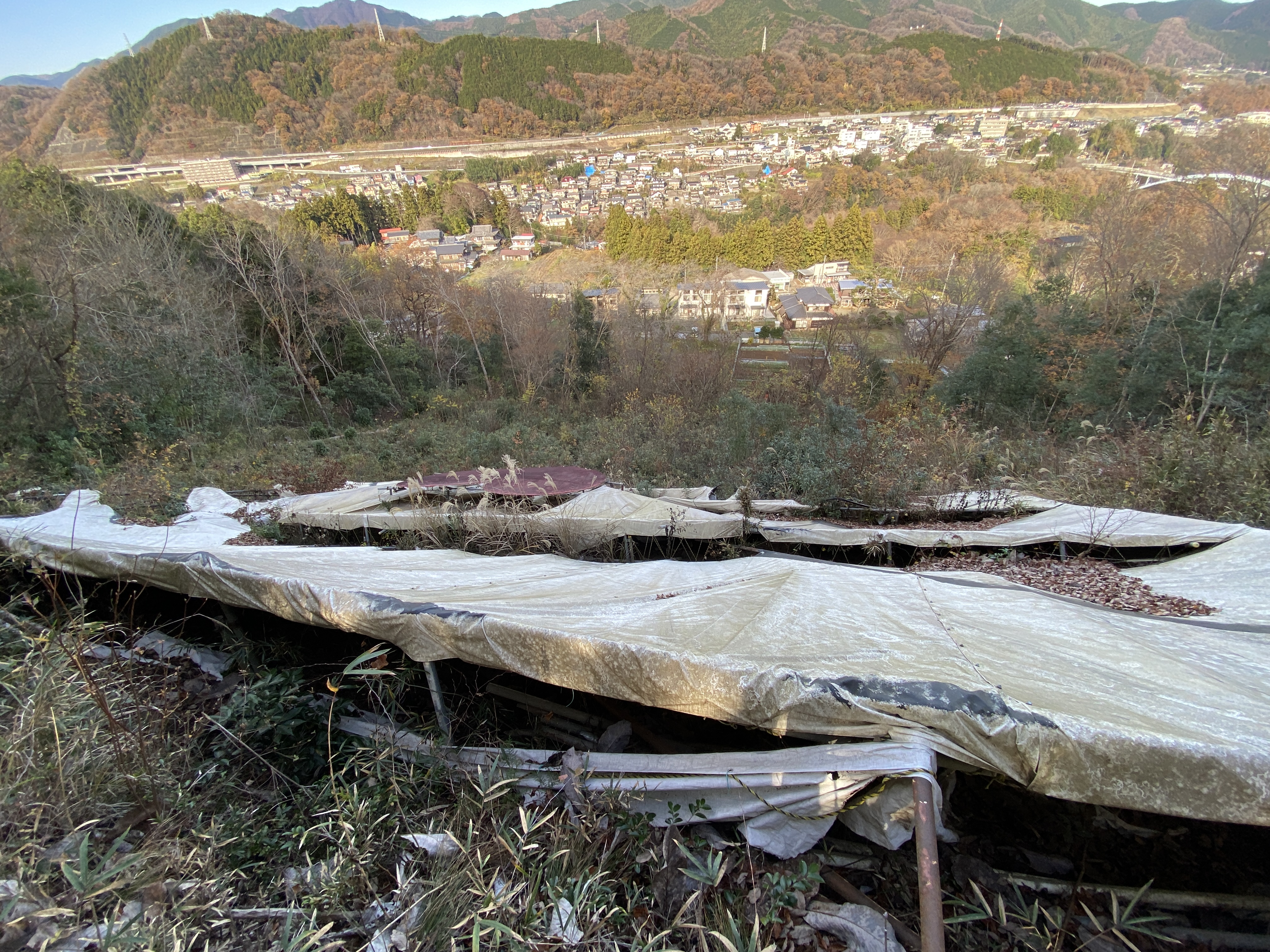
Looking toward Uenohara City. You can see Mt. Jinba and Mt. Rengyo on the other side of the city.
I'm not sure what this was about. Evidently you can try panning for gold at the stream behind this sign.
The stream
This is the area by Akiyama Onsen. I have started a few hikes from here and today's purpose was to connect the dots with those hikes.
Leech warning and an empty bottle of leech repellant. Thankfully I didn't get attacked today.
The Katsura River (which starts way down at Lake Yamanaka)
This area has a lot of artwork. There are art installations sprinkled here and there along the trails. It's called something like "The Trail of Art". Some pieces were better than others. Frankly, I thought most of them were pretty bad.
This old sign says "Art Land"
This is at a place called SGFRENTSPACE. It appears to be a picnic/BBQ area you can rent.
I already knew about one of these art installations and was really interested in it. It's on the side of a mountain and is visible from the train or the highway across the river. It's called 緑ラブレター "Green Love Letter". I'm not sure what it means, but I've always thought it was cool. This is what it looks like from the train.
I have seen it from a distance many times and was excited at the chance to see it up close and personal.
Unfortunately, it was less impressive up close than I'd expected. 😂
That's the bell of love. I rang it.
Well, that's it for today. I wonder where I'll go next.