

Greetings cave critters. It was a beautiful warm fall day for a hike.
Location: Uenohara, Yamanashi, Sagamihara, Kanagawa
Starting and stopping point: Uenohara Station to Fujino Station
Mountains climbed: 鶴島御前山 高柄山 小高柄 デン笠 金ピラ山 高倉山 Mt. Gozen, Mt. Takasuka, Mt. Kotakatsuka, Mt. Dengasa, Mt. Kinpira, Mt. Takakura
Getting there/getting around: JR Chuo Line
Map: Yama to Kogen Chizu #28 高尾・陣馬 TAKAO・JINBA
Weather Information: Mt. Takatsuka Weather
Time: 7 hours, 30 minutes
Distance: 20.4km
Elevation: Lowest: 165m Highest: 733m Total Ascent: 1,706m Total Descent: 1,673m
Technical considerations/difficulty: The first half of this hike was surprisingly taxing. There are a lot of steep slopes with a lot of ropes that are really necessary. Going down these steep slopes was particularly nerve-racking as they are covered with slippery fallen leaves.
Facilities: Not much on the trails, but the trails aren't that far into the woods.
Thoughts/observations/recommendations: Nice day.
For the second week in a row, I dropped by some hills just south of the Chuo Line around Sagamihara and Uenohara. Last week, I went for a 7 km loop hike starting and finishing at Fujino Station. Today, I started at the adjacent station (Uenohara) and ended at Fujino Station.
I did these two hikes just to connect the dots. I've spent a lot of time hiking through Doshi Village all the way down to Lake Yamanaka. That long, un-broken line I've drawn on my map is quite satisfying. There was a blank spot on my wall map between that long trail and the Chuo Line though. That bothered me so I hiked from Uenohara Station as far as Tomioka Bus Stop at the Akiyama Onsen to close the gap.
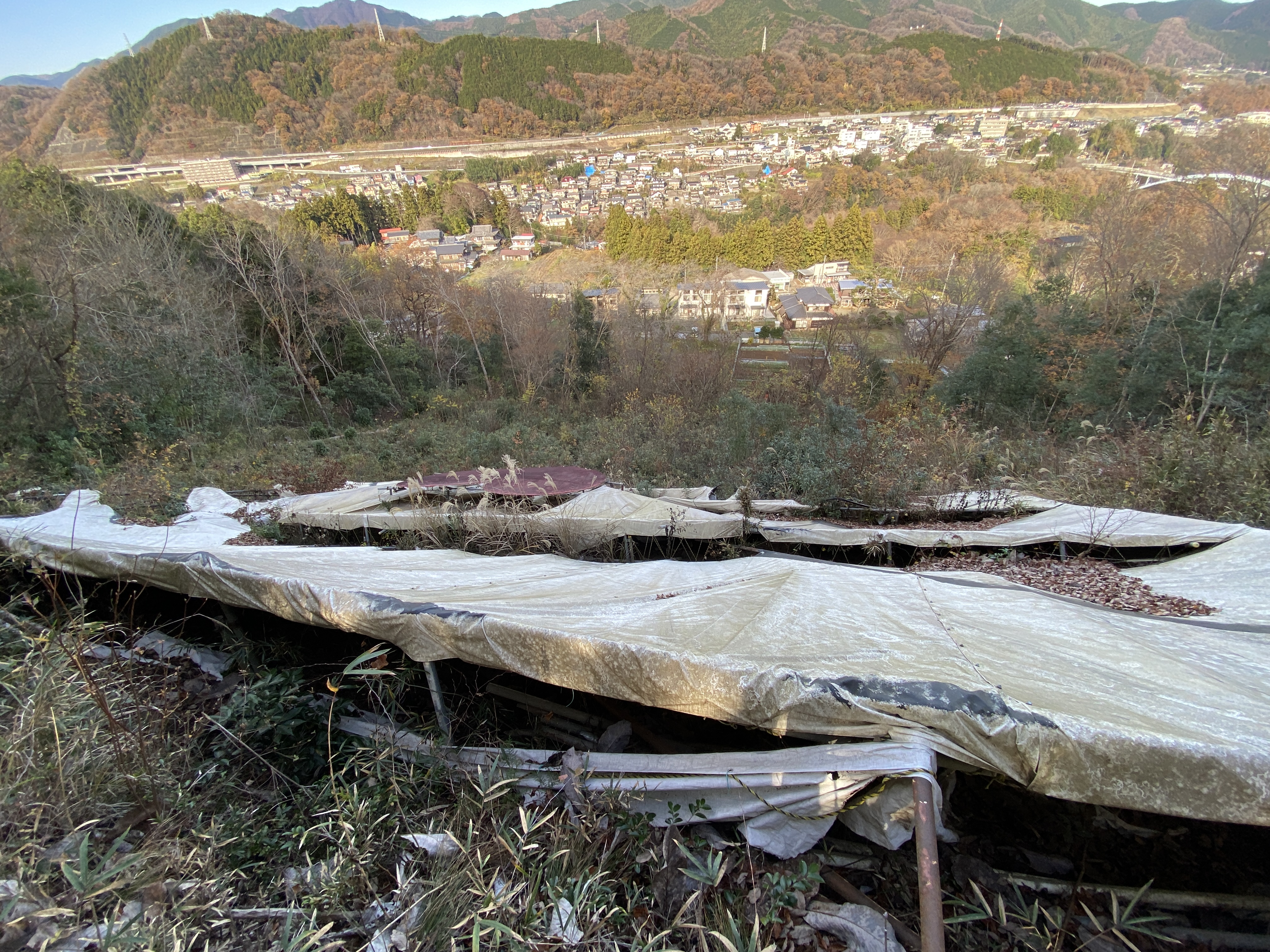
These two hikes weren't especially photogenic but were satisfying in their own ways.


I have seen it from a distance many times and was excited at the chance to see it up close and personal.


No comments:
Post a Comment
Have a comment? Please, keep it clean.