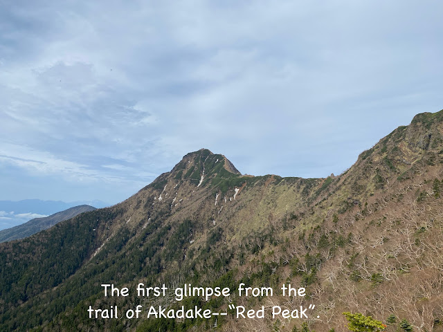
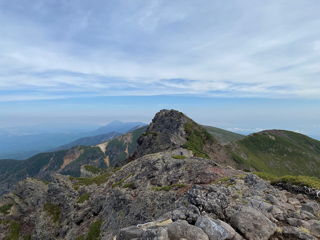
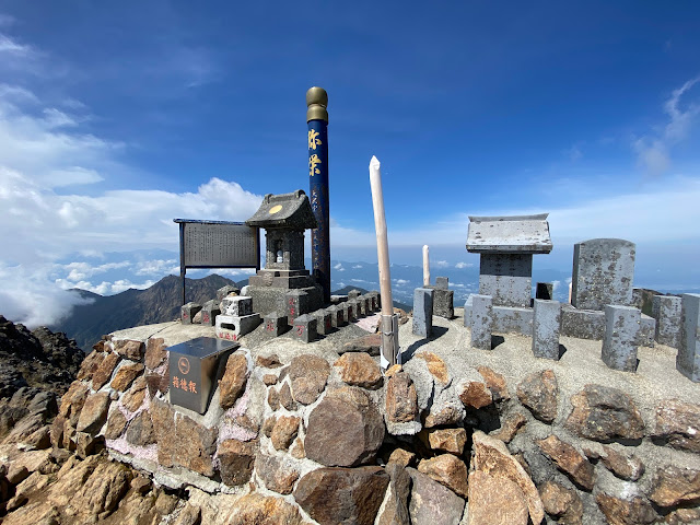
Location: Mt. Akadake, Yatsugatake
Starting and stopping point: Somazoeone Tozanshayo Parking Lot Uminokuchi, Minamimaki, Nagano 384-1302
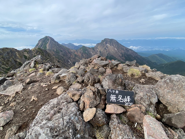
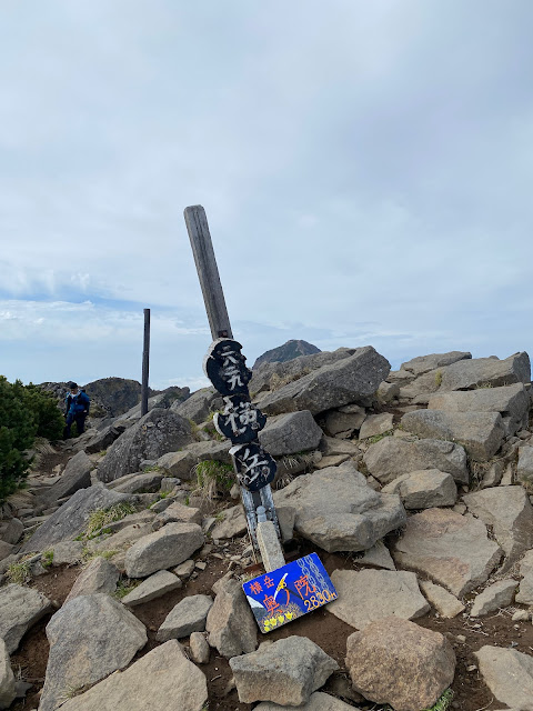
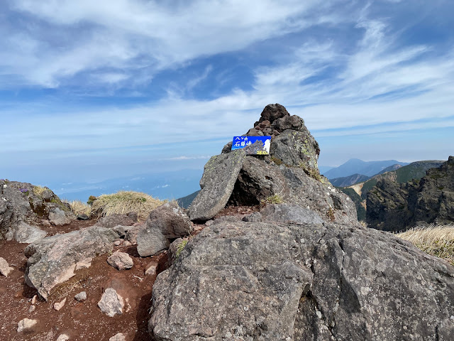
Peaks bagged: 横岳:(三叉峰),(無名峰),(奥ノ院)〜石尊峰 〜 地蔵ノ頭 〜 赤岳(八ヶ岳)
Getting there/getting around:
You can get to the parking lot by taxi from the Koumi Line. It's about a 20-minute ride. There are parking two parking areas near the Somozoe Ridge trail. When those lots filled, people parked along the street. There were about 20 cars. It's a residential area, so be careful not to park in front of any of the brown signs that say 「私有地に付き立ち入り禁止」. Cars not parked in front of those signs seemed not to bother the locals.
Map:
Weather Information:
Akadake Weather (English) Another Report for Akadake (Japanese)
Time
Total Time: 8:02
Break time: :32
Distance: 12.7 km
Elevation:
Lowest: 1,755m Highest: 2,899.4m Total Ascent: 1,515m Total Descent: 1,515m
Technical considerations/difficulty:
I recall meeting someone from the Yatsugatake area on Kumotori-san (Tokyo's highest point) once. Their comment about their stomping grounds was, "If you can do this, you can hike the Yatsugatake mountains." That said, I'm reminded of a mountain youtuber's video I saw about Kumotori in which he said, "This is the hardest mountain I've ever climbed." (I'd be lying if I said that didn't boost my ego.)
Everything is relative.
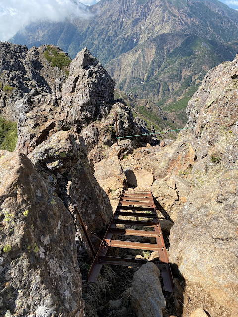
This hike was a bit challenging. There are lots of steep parts and a lot of chains, ropes and ladders. I was up and down in less than 8 hours but I do note that afterward my ankles felt like I'd been on a much longer excursion.
There are several parts where using hands is as necessary as using feet to scramble over boulders but, it is all relative. I didn't find any part of this trip frightening.
I did note that I encountered no young children or pets on this hike. There were also far fewer grandmotherly types than usual.
The trail wasn't particularly hard to follow.
Facilities:
There is a mountain hut below the peak that was open. There is lodging, pay toilets, etc. there. No tent area, though. There's also a hut on top but it was buttoned up tightly. I don't know if it's still in business.
Thoughts/observations/recommendations:
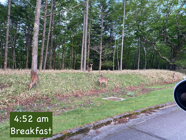
I'm glad I was there early. I started just before 5 and my parking lot was already full. Also, I beat most of the crowds. I got back to my car around 1 and encountered a lot of people on the last leg.
I wish it had been a picture-perfect day, but it could have been worse. As it turns out, I'm glad I got out on this particular day because the rainy season kicked off with a vengeance the very next day. I live in the area now and plan to hike all of the Yatsugatake mountain range. There will be great views to be had in the future.
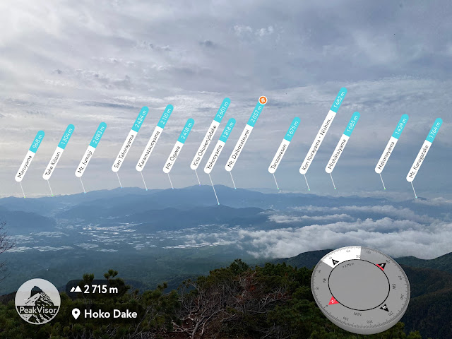
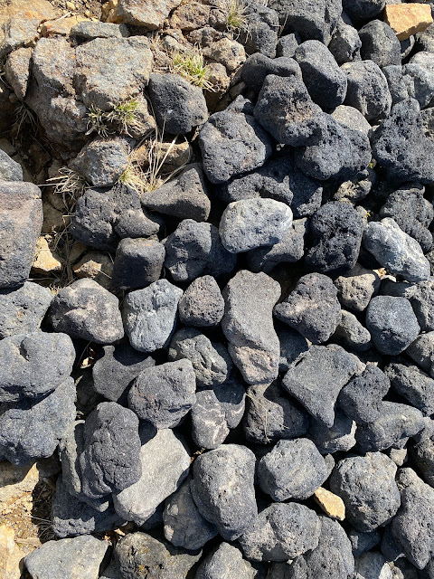
Without further ado, here are some pictures.
Today's listening:
Fighting Through From Dunkirk to Hamburg This podcast is a real labor of love by one Brit about his dad's service in WWII and other un-published WWII histories. It's really amazing.
Not tired of the 100 Famous Mountains yet? Try one of these.
Another of Akadake in 2024
That's all for now. Subscribe, comment, etc.
Caveman out


