Showing posts with label 日帰り長野県. Show all posts

The Lonely Mountain, Mt. Hanare, Karuizawa, Japan

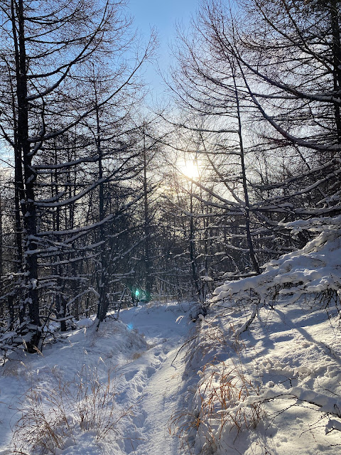
Snow on Hanareyama


Hello, cave crawlers.  This post is of the second hike I made yesterday.  The first hike is here. Blustery Koasama https://mymancaveisthemountains.blogspot.com/2024/01/blustery-clear-morning-on-mt-koasama.html


Location:  

Mt. Hanare, Karuizawa

Starting and stopping point:  

School Parking Lot  DON'T PLAN ON PARKING HERE.  I'll explain below

Peaks bagged: 

Mt. Hanare (離山)

(First-time) peak 

# 851

Getting there/getting around:  

I drove.  I think public transportation is a better bet, though.

Map: 

Yama to Kogen Chizu 19 浅間山軽井沢・長野原の山々ASAMA-YAMA KARUIZAWA-NAGANOHARA-MOUNTAINS If that link goes dead, try search for "浅間山軽井沢" on the Mapple website

Weather Information:  

Asama Weather

Time

Total Time:  2:07  Break time: :17  Distance:  7.3km

Elevation

Lowest: 946m Highest: 1,252m Total Ascent:  339m Total Descent: 340m

Technical considerations/difficulty:  

None.  This would be an ideal hike for a couple on a date.  Most of the way up is a wide, fairly flat stone road.  It is a steady climb, but there is nothing particularly difficult about it.  I don't think you really need any "gear" to climb this mountain.  

Facilities:  

Several rest spots to catch the sights or have a meal.

Thoughts/observations/recommendations:  

I called this post the Lonely Mountain because this mountain sticks up out of a fairly flat area all by itself.  The word hanare means something like "separate" or "leave".  It fits.  It's not high, but it does have prominence because it is so alone.  

About parking . . . on the map, and on my hiking app, there is a parking space by a bus stop on the Old Nakasendo.  The maps are wrong.  There is no parking there--or anywhere.  There's no parking at the trailhead or in the neighborhood below the mountain.  In desperation, I asked one of the locals where to park and she directed me to a spot by a school underneath a sign with exotic red characters written on it.  I thought she might be pulling my leg because I'm not your average bumpkin foreigner.  No siree.  I could read those exotic characters.  The sign clearly said "No Parking".  When I protested, she told me not to worry, and that since it wasn't a school day, I was ok.  

Thankfully, I was.  

That said, I wouldn't plan on parking there again.  And . . . if you happened to be coming to the area from out of town, you're probably coming by train.  This area is just a short bus ride from Karuizawa Station.  This mountain would really be a nice stroll for tourists visiting Karuizawa.


Today's listening:  

Just the birds in the trees


Here are some pictures:
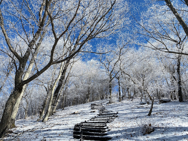
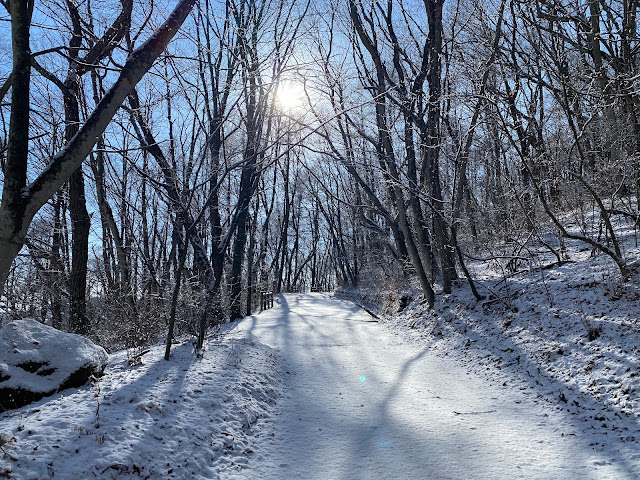
snowy road up to Hanareyama

There hasn't been much snow around here yet this year but the ski area at the Karuizawa Prince Hotel is running.


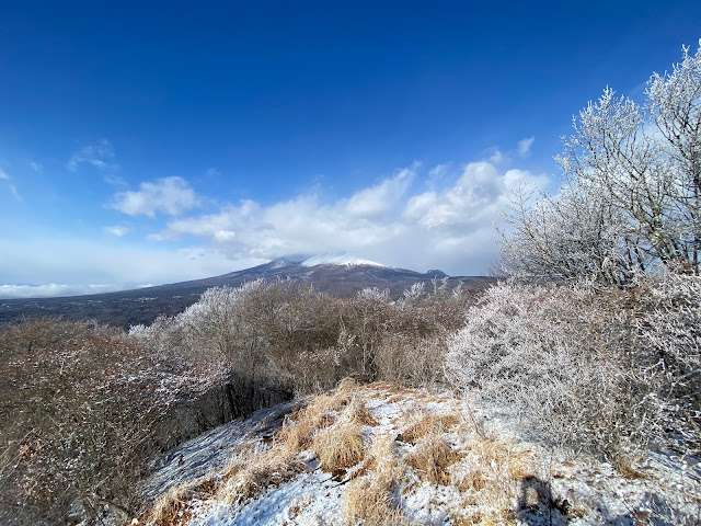
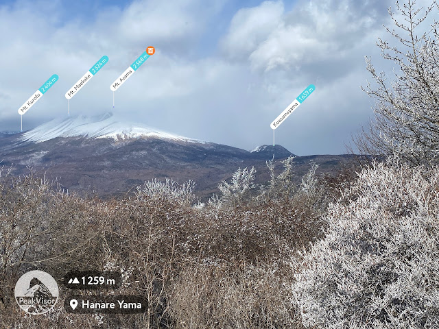
That's Mt. Asama in the clouds.  The little bump to the right is Koasama where I'd climbed earlier that morning.

Mt. Asama from Hanare


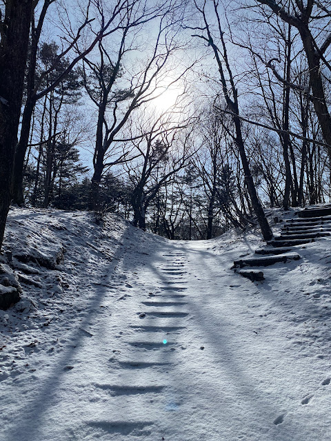
snowy stairs up to Hanareyama

Asama and Koasama from Hanareyama

That's all for today.
Caveman out.

Caveman hikes on a blustery clear morning on Mt. Koasama, Nagano/Gunma


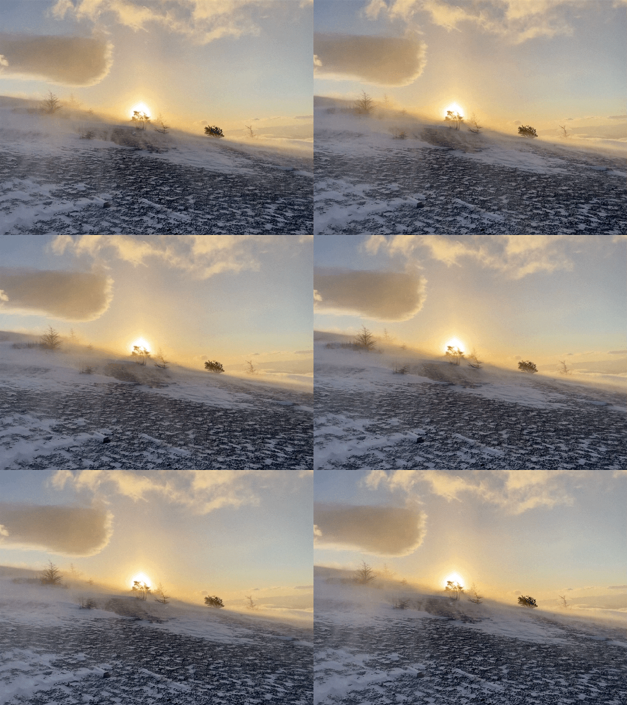
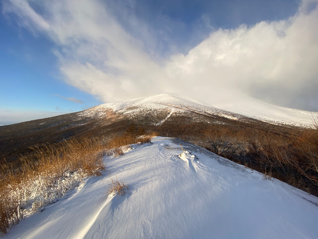
windswept snow on Koasama

Good morning (afternoon, evening) cave crawlers.  Welcome to my world for a few minutes.  

Yesterday I went on two hikes in Karuizawa.  I had planned to drive far and go on an ambitious trek yesterday but the road conditions on the way were not great and the afternoon weather forecast was for snow.  I decided to change plans and do some shorter, more local hikes instead.  I'm glad I did.  I caught some spectacular weather in the morning and was home by noon--which is about the time the snow started flying.  I'm glad I wasn't driving home through the mountains in that weather.  Yay, me.

The firs mountain I hit was Koasama.  The second wasn't Mt. Hanare.  I'll write a separate post about that here: The Lonely Mountain 

Here are the details on Koasama:


Location:  

Mt. Koasama Nagakura, Karuizawa

Starting and stopping point: 

Parking lot across from the Toge Teahouse 峰の茶屋

Peaks bagged: 

Koasama east and west

(First-time) peaks # --

Getting there/getting around: 

Car.  There is a bus stop, though. 

Map: 

Yama to Kogen Chizu 19 浅間山軽井沢・長野原の山々ASAMA-YAMA KARUIZAWA-NAGANOHARA-MOUNTAINS If that link becomes obsolete, try searching for ”浅間山軽井沢” on the Mapple Website

Weather Information:  

Asama Weather

Time

Total Time: 1:25  Break time: :00  Distance:  4.25km

Elevation  

Lowest: 1,403m  Highest: 1,655m Total Ascent:  354m Total Descent: 355m

Technical considerations/difficulty:  

Parts of this are steep but there are no ropes or chains.  In the snow, crampons or some kind of spikes are a must.  If you are into hiking poles, they would be a good idea, too.  In the bare seasons, the trails have many spots of loose sand that make getting a purchase a little difficult.  There are also lots of small rocks on the trail that pose a danger of twisting an ankle.  Even so, this is a nice mountain for running on.

Facilities:  

Parking for a few cars at the bottom.  Vending machines, public restroom and an udon restaurant at the bottom.

Thoughts/observations/recommendations:  

This is about a 45-minute drive from my home so I've been here three or four times and I grow fonder of it each time.  The scenery changes with the seasons.  Since the trees aren't that thick and the hills are well-defined, it's easy to hop off the trail and still find your way to the top easily.


Today's listening: 

For You The War Is Over


You may have noticed the "No Entry" on the Google Earth screen shot.  Shh.  Mt. Koasama ("Little" "Asama") is next to Mt. Asama, an active volcano.  🌋  There is a zone of several kilometers around the volcano that you are prohibited from entering ⛔ because of the air quality.  I'm like a cat, though.  And you know cats and their curiosity . . . I wanted to go up the trail toward the big mountain just far enough to look back and get a picture of Koasama.


This picture is looking up at Koasama from the parking lot.  That white building is the volcano research building for Tokyo University.


sun and snow on Koasama

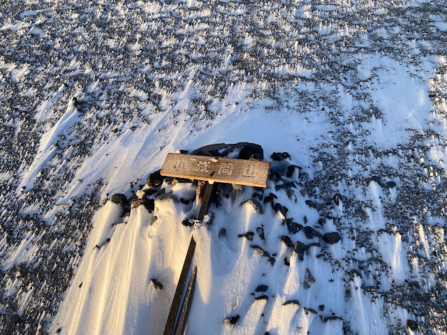
This sign got blown over.

top of Koasama

windswept snow on Koasama2


That's Mt. Asama.

Asama from Koasama, snow


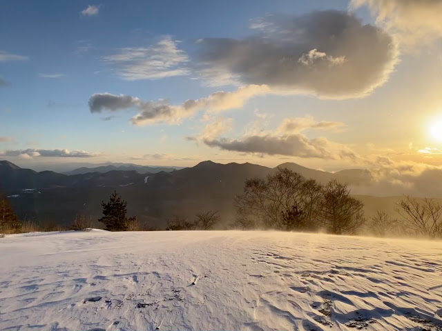
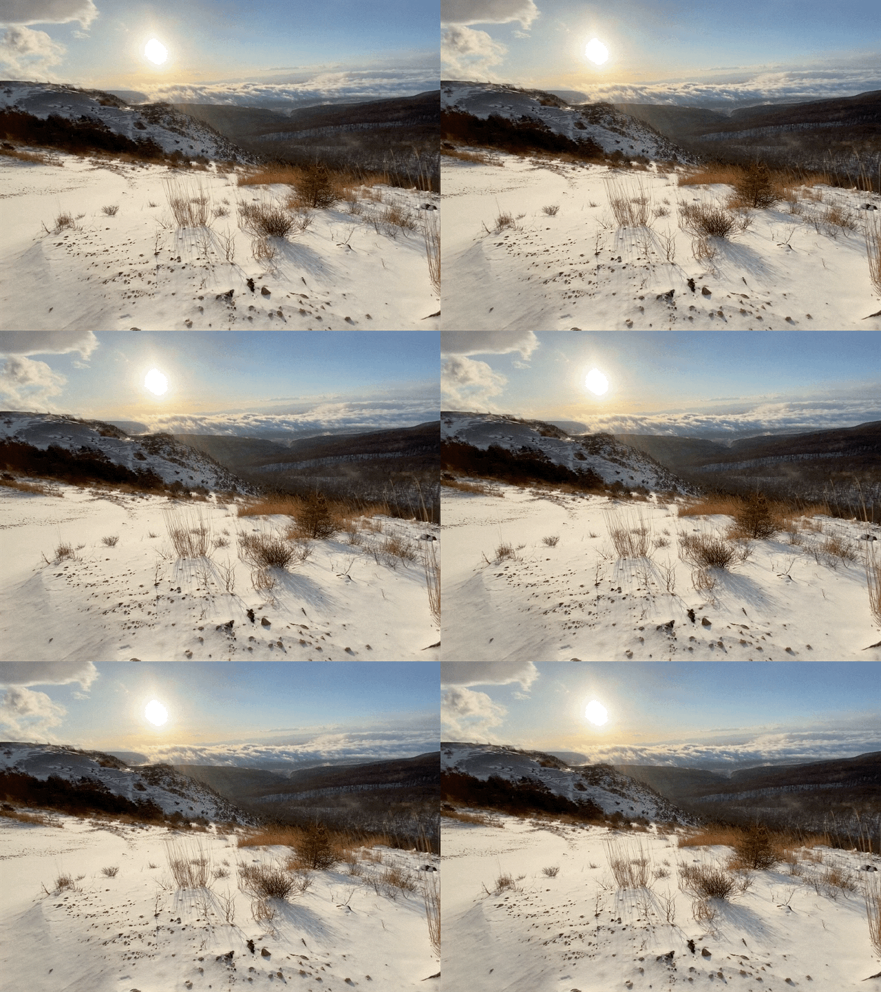
sun from Koasama on a white day

snow on Koasama


These next pictures are looking back from the trail you're not supposed to enter.

Mt. Koasama straight ahead

Looking back at Koasama


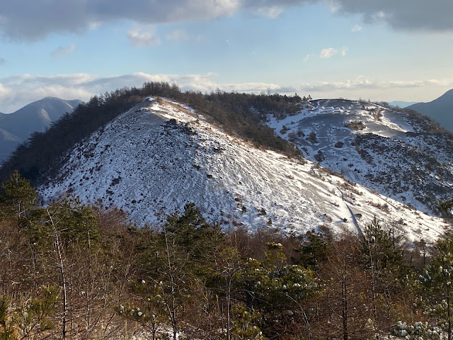
The western peak of Koasama is in the immediate foreground.  The other one is to the right.

The two peaks of Koasama

This was after it had warmed up a bit.


snowy trail to Koasama

Well, that's all for today.  Come again.  Subscribe.  Tell all your friends to buy me ko fi.  ☕

Hungry for more?  Check out the other side of Asama here: Kurofu and here: Diamond Asama and here: Kengamine.

Caveman out


Yunomaru 〜 Miharashidake 〜 Ikenotaira Swamp


Mirror Pond at Ikenotaira Swamp

Location:  Nagano/Gunma

Starting and stopping point:  Yunomaru Pass

Peaks bagged: Miharashidake (見晴岳) ~~ Sanpogamine (三方ヶ峰)

(First-time) peaks # 815 and 816

Getting there/getting around:  I drove.  There used to be a bus service, but not anymore.  The nearest stations are Shigeno, Komoro or Sakudaira.  A taxi from one of those stations runs between ¥6,500 and almost ¥18,000.  (The ¥18,000 is for a 9-passenger vehicle from the farthest station.  It's actually pretty cheap if you can split the fare between 9 people.)  

I parked at the Yunomaru area and it's free.  There is paid parking right next to the Ikenotaira Swamp if you don't want to do any strenuous walking and just want to walk around the swamp.  That parking lot, and the road to it, is only open during the day and is not open at all in the off-season. 

Map: Yama to Kogen Chizu 19 浅間山軽井沢・長野原の山々ASAMA-YAMA KARUIZAWA-NAGANOHARA-MOUNTAINS

Weather Information:  Asama Weather

Total Time:   1:35 Break time:  :00 Distance:  7.1 km

Elevation:  Lowest: 1,731 m  Highest: 2,095 m  Total Ascent:   445 m Total Descent: 445 m

Technical considerations/difficulty:  This is a great place for trail running.  Much of it is a trail lined with trimmed-back bamboo grass.  The portion through the swamp is a sturdy boardwalk.  There are no ladders or chains.  The only ropes are to keep people on the trail.  

Facilities:  

The area around the Jizo Pass/Yunomaru Hotel is really happening.  There is a ski area, gift shops, the aforementioned hotel and a restaurant or two.  I also thought the GMO high altitude training center was cool.  Olympians train there.  Check out their link.  You can view their site in English.

GMO  high altitude training center

There is hiking information at the Yunomaru Visitor's Center Yunomaru Visitor's Center.

I parked in that area for free.  If you're lazy and just want to walk through the swamp, you can drive up to the (paid) parking lot at Ikenotaira.  Parking is seasonal and only open from 7:00am to 4:00pm.  Regular cars cost 600 yen.  Ikenotaira Visitor's Center


Thoughts/observations/recommendations:

I had planned on just going for a walk along a nearby river after school yesterday but the mountains caught my eye when I was driving there.  I'm glad I have a lot of hikes planned.  I was able to choose one on the fly.

Today's listening: The Bible in a Year


Here are some pictures.


I didn't realize how popular this place is for running until I came here.


That's Mt. Kurofu and Mt. Asama in the background.  I was there three days ago.


Yunomaru Visitor's Center


Well, that's all for today.  Come again.

Caveman out.