This is a snowshoeing hike I took around Mt. Yunomaru and Mt. Eboshi on the border between Gunma and Nagano. It was a great day and I hope you enjoy the pictures as much as I enjoyed taking them.
You probably won't. I take way too many pictures and find it difficult to discard any.
On this hike, I climbed Mt. Yunomaru (again) and Mts. Koeboshigatake and Mt. Eboshigatake. E-boshi-take means "crow" "hat" "mountain". The "Ko" of Koeboshigatake means "little."
Elevation:Lowest: 1,730 m Highest: 2,099 m Total Ascent: 692 m Total Descent: 692 m
Technical considerations/difficulty: Not tremendously technical.
Facilities: Nothing
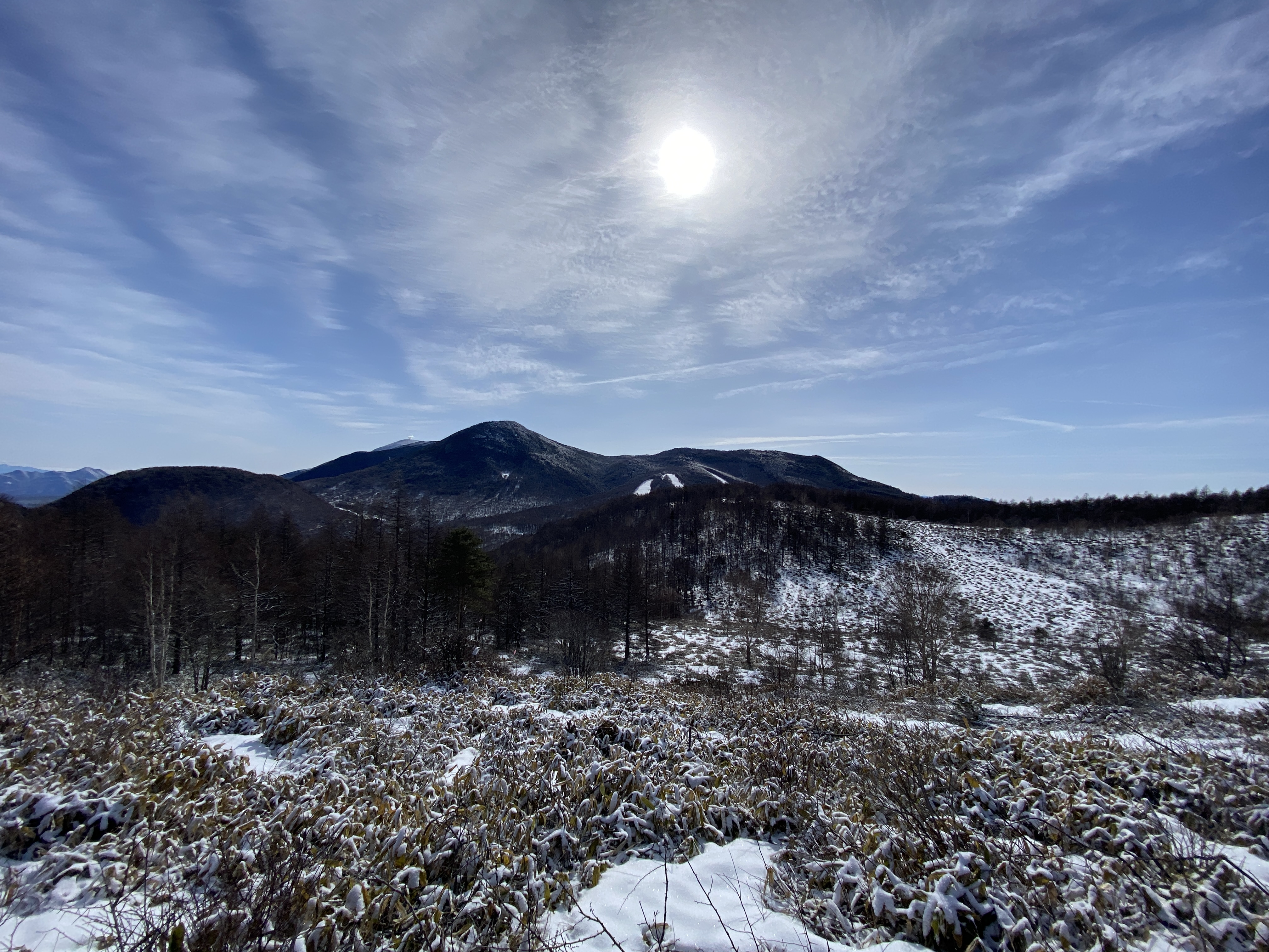
Thoughts/observations/recommendations: What a great area. This was my second time back in the last few weeks. I wanted to connect the dots of my footprints and I wanted to climb the two Eboshi peaks. I was blessed with another day of great weather. It wasn't as clear as last time, though, and I couldn't see Mt. Fuji. That's ok, though.
This is todays destination.
I absolutely love looking up and around and being able to say "I've been there."
And away I go!
Lots of critters out there.
Starting out climbing the trail at the Yunomaru Ski Area. I started up the slope even before the chairlift started running.
That bump on the left is Mt. Kakuma. I climbed that last time, but not today.
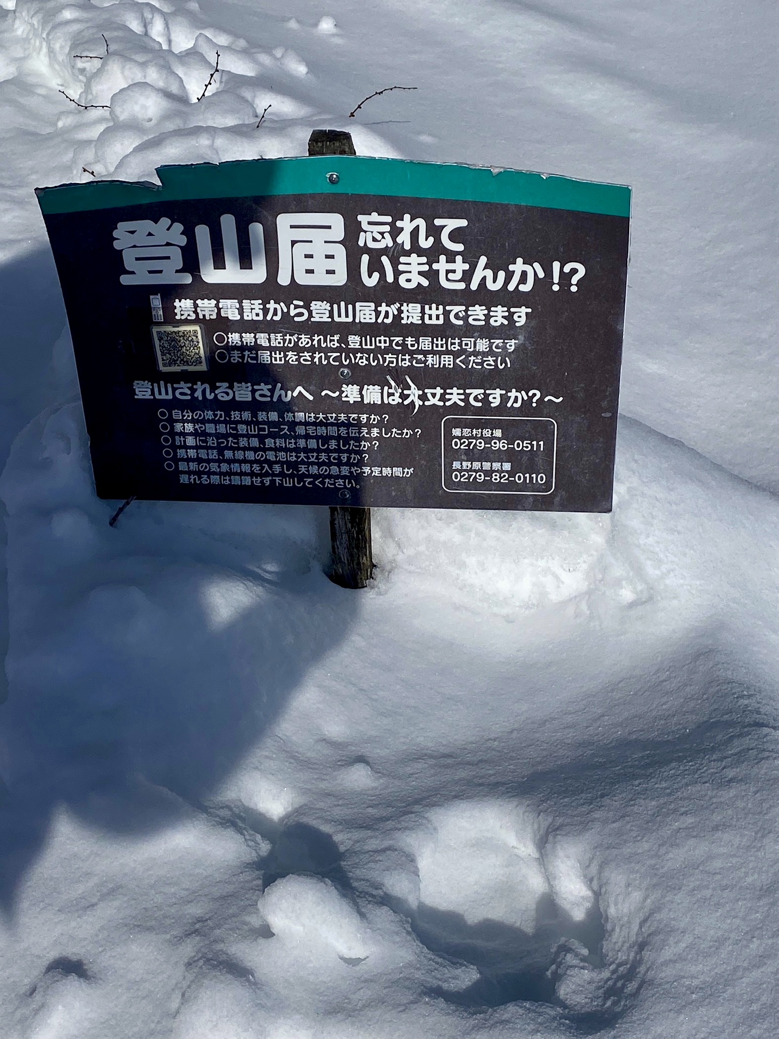
You can register a hiking plan by using the QR code on the sign.
Yatsugatake
Mt. Fuji hid today
Mt. Sajiki on the left. Mt. Kosajiki on the right.
The top of Yunomaru
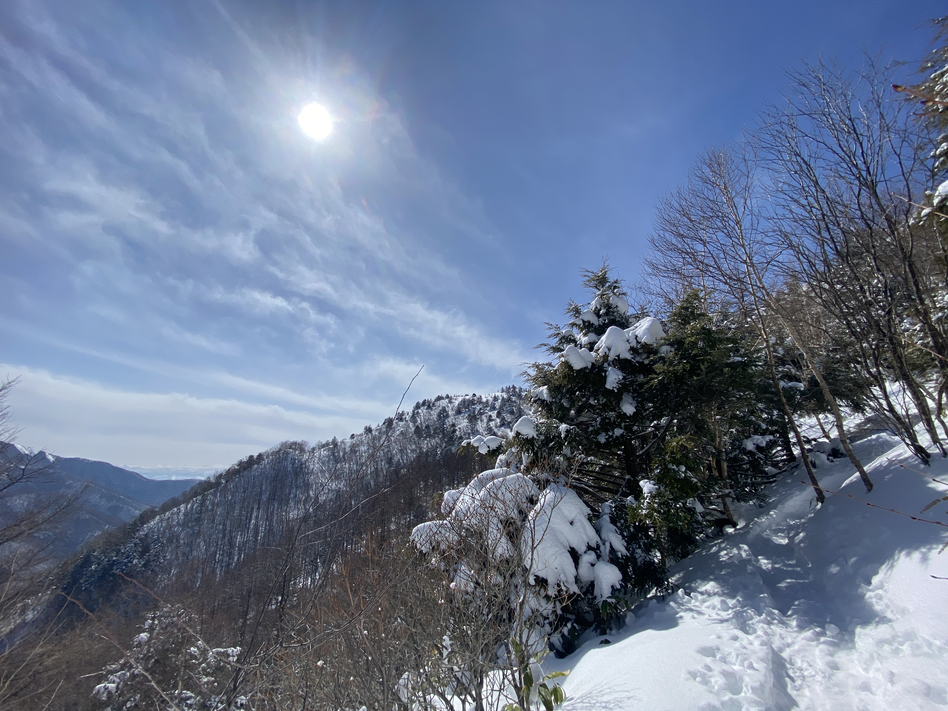
The pointy one below is Eboshi. That's my ultimate goal for the day.
Most of the day, I didn't really need the snowshoes because there were many traces of previous hikers. I did still sink in a few times, though.
Mt. Eboshigatake
And with that, dear spelunker, I leave you until next time.
Subscribe to the blog. Tell your friends about it.
Getting there/getting around: I drove. There are many free places to park and many trailheads along Route 94. There is no public transportation to get there. The Yunomaru Ski Resort up the hill from where I started provides a bus for people staying in their lodgings. You can get a taxi there or to the Kanzawa Onsen from a Shigeno, Komoro or Sakudaira train stations. The cheapest taxi to the Yunomaru resort is ¥6,750 from Shigeno for a regular 4-passenger taxi or ¥9,230 for a 9-passenger jumbo. From Komoro, a regular taxi will run you ¥8,140 and a jumbo is ¥13,190. Taxis from Sakudaira are the real bank busters at ¥10,840 and ¥17,750 respectively. Ouch.
Total Time: 7:00 Break time: 1:25Distance: 16.2km/10mi
Elevation:Lowest: 1,302m Highest: 2,100 Total Ascent: 1,223m Total Descent: 1,225m
Technical considerations/difficulty: Not terribly difficult or dangerous. Just steep.
Facilities: Nothing on the trail except a few rest spots.
Thoughts/observations/recommendations: What a great mountain. Despite it being a bit lower than its siblings on the Takamine Kogen, this one has even better panoramic views. I took a longer, less-trafficked route than most people and was rewarded with plenty of solitude. The great views can be achieved with a lot less work by starting at the Yunomaru Pass.
I was actually stunned when I got to the top and saw the panorama.
I think the last time I was struck with a beautiful view was the first time I saw Mt. Fuji from
Tonodake in the Tanzawa area. The views from both places are totally unexpected and made me catch
my breath.
Azuma is one of the 100 Famous Mountains. I climbed it on a cloudy day and had never gotten a good
view of it before this hike.
If you're interested in the names of the mountains, I have labeled pictures at the end of the post.
I think this was the top of Kakuma. I can't remember.
That's the back of the Kazawa Onsen. I don't know what's with that hunk of ice.
There is a story about a group of college kids that were snowbound once and took the melody of "My Darling Clementine" and wrote a new Japanese song about snowy mountains. This sign tells the story.
It became the theme song for a tv show decades ago and is used in various municipal settings--disaster warnings, chimes on train platforms.
It's also used on Route 94. The pavement is serrated in patterns so that cars will create the song as they pass over the rough portions of road.
I didn't realize all of this until I saw this sign -- and then looked it up on the internet after the fact.
All I thought yesterday as the cars were driving by me was, "Wow. They all have loud stereo systems!" and "Man, those Japanese really must like old western soundtracks!"😆
Put this page into google translate to get an idea . . .