Don't pay the ransom. I am back.
. . . about Mt. Masuo, Wakuma and Kotomiki
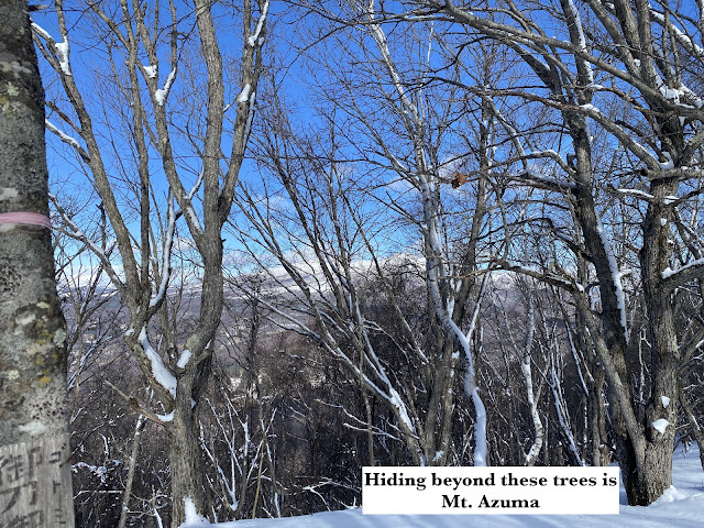
These are three minor peaks in Ueda City. They are on a ridgeline to the west of the collection of mountains leading to Mt. Asama. To the north, across a valley, is Mt. Azuma.
Area: Ueda City, Sanadamachiosa
If you are an otaku or a history buff, the "Sanada" part of the area's name may jump out at you. The Sanada Clan were active in the Sengoku (Warring) Period in Japanese history. The main Sanada Castle was just down the street from these mountains. The top picture on this post is the crest of the Sanada Clan. It's also found on the sign of the parking lot where I left my cavemobile. Sanada Clan on Wikipedia
Location:
Map: This link is to a printable topo map. *The names of the mountains aren't on the map. Mt. Masuo is 1,440 meters, Mt. Wakuma North is 1,610 m and Mt. Wakuma South/Kotomiki is 1,643 m.
Starting and stopping point: Matsuokojo Parking Lot
Peaks bagged: Mt. Masuo (増尾山) ~~ Mt. Wakuma North (和熊岳北) ~~ Mt. Wakuma South/Kotomiki (和熊岳南/コトミキ山)
(First-time) peaks # 991-993
Getting there/getting around: I drove. There are buses to the area by the Ueda Bus Co. It doesn't run every day. You'll need to understand Japanese to puzzle out their calendar and time schedule. Good luck with that.
Helpful Info
Weather Information: Nearby Eboshigatake
Time and distance
Total Time: 5:10 Break time: :55 Distance: 7.6 km
Elevation: Lowest: 831 m Highest: 1,643 m Total Ascent: 1,095 m Total Descent: 1,095 m
Technical considerations/difficulty:
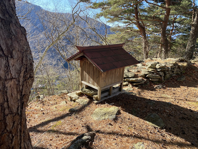
It's not terrifically difficult. There are not ropes, chains or ladders. Much of it is steep, but that is to be expected. The trail is not characterized by great views so it gets little traffic. It doesn't even appear as a trail on most maps. I wouldn't have known about it but for previous hikers leaving their reports online. The trail has some marking tape along it but it's not that necessary as the trail stays right on top of or just off the top of a very distinct ridge line.
Facilities:
No water. No restrooms. Nothing.


;love the pictures! Did mrs caveman come with you on this hike?
ReplyDeleteHi Patsy! Not this time. She was keeping the fires burning at home. She did come out for a walk yesterday, though.
Delete